
Heavy rainfall from scattered thunderstorms is expected across the Southwest, Intermountain West, and Plains. Isolated dry thunderstorms may initiate additional fires across the west. The coastal Carolinas may experience flash floods in the coming days due to repeated thunderstorms. Additionally, a wave of intense summer heat will hit the Southern Plains and central Gulf Coast States this week. Read More >
Rapid City, SD
Weather Forecast Office
New Local Standard Radar pages for both the Rapid City radar (https://www.weather.gov/radarliteloop?radarid=KUDX) and national and regional mosaics (https://www.weather.gov/radar_lite) are now available from the Radar Menu on our website. These pages load more quickly and have a user-friendly interface to view radar images, loops, and warnings on mobile phones, tablets, and computers; especially for people with restricted bandwidth. They can also be used for application development needs.
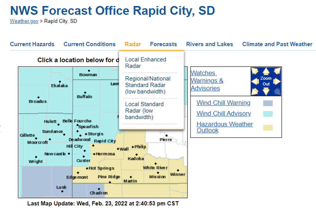
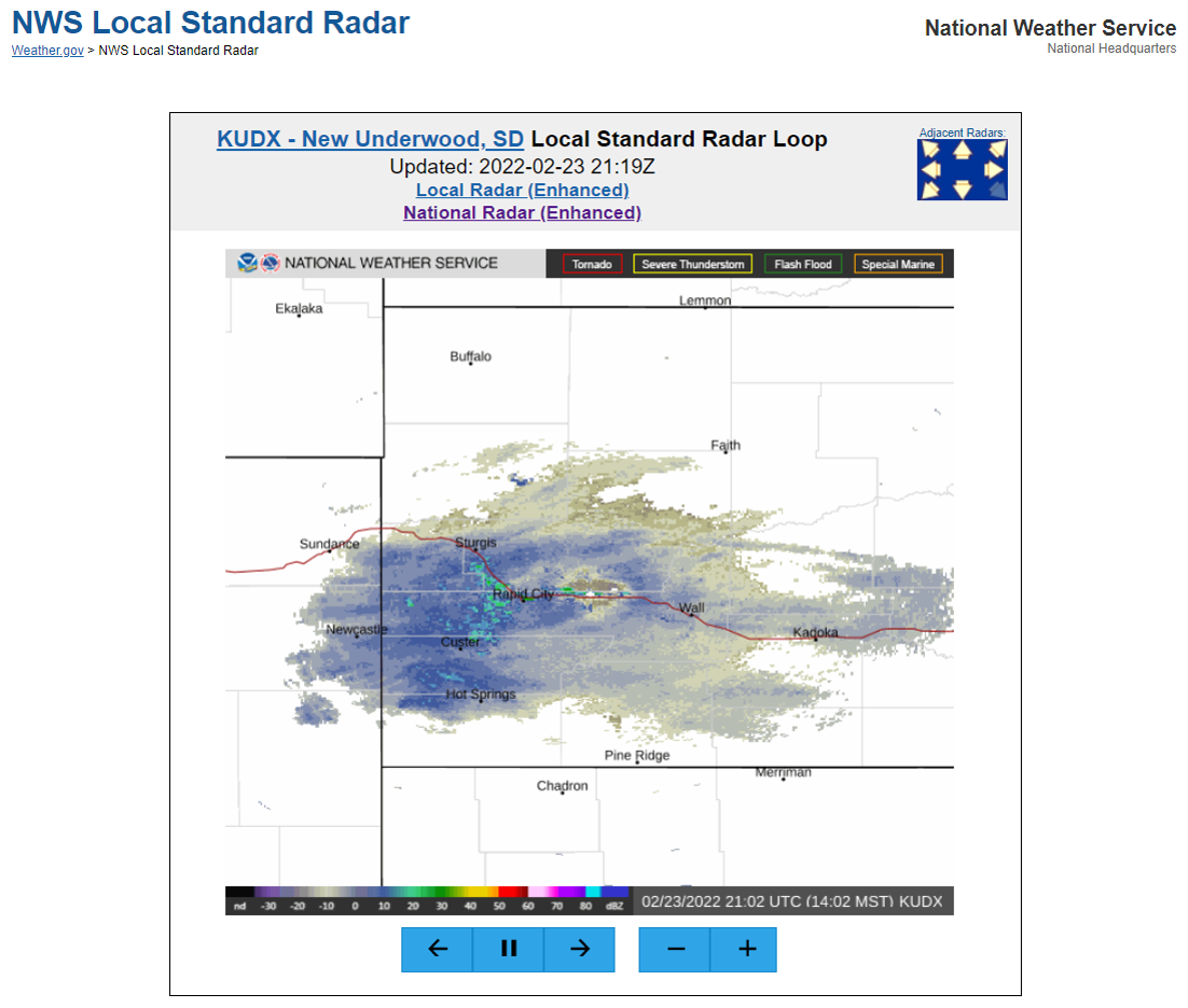
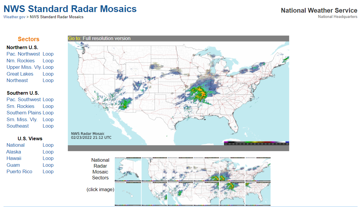
Rapid City local standard radar page National standard radar page
You can contact our webmaster at w-unr.webmaster@noaa.gov if you have any questions or comments.
US Dept of Commerce
National Oceanic and Atmospheric Administration
National Weather Service
Rapid City, SD
300 East Signal Drive
Rapid City, SD 57701-3800
605-341-9271
Comments? Questions? Please Contact Us.

