
Heavy rainfall from scattered thunderstorms is expected across the Southwest, Intermountain West, and Plains. Isolated dry thunderstorms may initiate additional fires across the west. The coastal Carolinas may experience flash floods in the coming days due to repeated thunderstorms. Additionally, a wave of intense summer heat will hit the Southern Plains and central Gulf Coast States this week. Read More >
Rapid City, SD
Weather Forecast Office
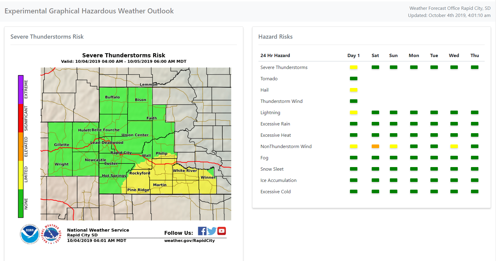
A new graphical Hazardous Weather Outlook on this web site allows you to quickly see if any hazardous weather is expected during the next seven days. The outlook is available by selecting Experimental Graphical Hazardous Weather Outlook under the Current Hazards menu.
The table on the right side of the page lists various hazards by season and five-level risk categories which correspond to our advisory and warning thresholds. By clicking a button, the map on the left side displays the hazard area.
US Dept of Commerce
National Oceanic and Atmospheric Administration
National Weather Service
Rapid City, SD
300 East Signal Drive
Rapid City, SD 57701-3800
605-341-9271
Comments? Questions? Please Contact Us.

