
Tropical Depression Two is expected to gradually strengthen and could bring tropical storm conditions to the Florida Panhandle beginning late Monday. Areas of flash flooding will be possible through Thursday along the eastern and central Gulf Coast. Severe thunderstorms will develop and move along a cold front crossing the Upper Midwest Monday, and through the Ohio Valley/Mid-Atlantic on Tuesday. Read More >
Overview
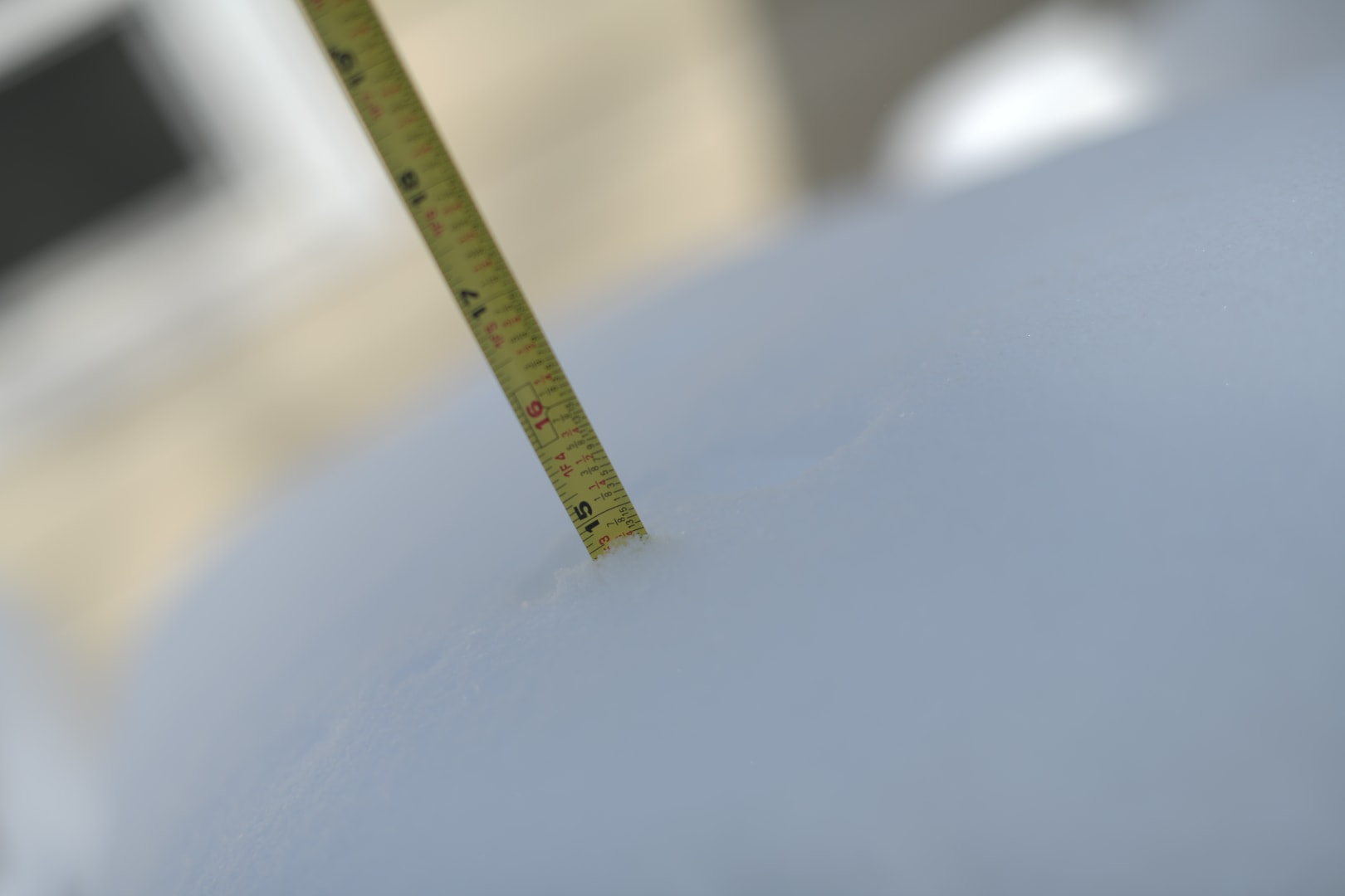
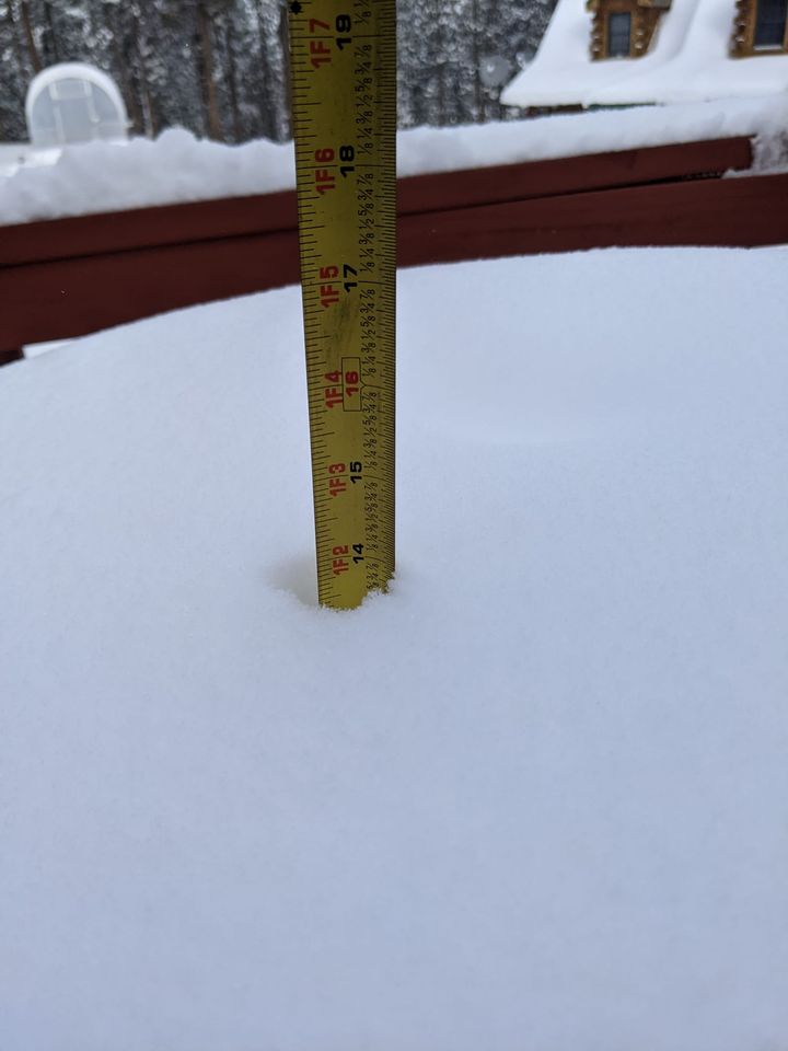
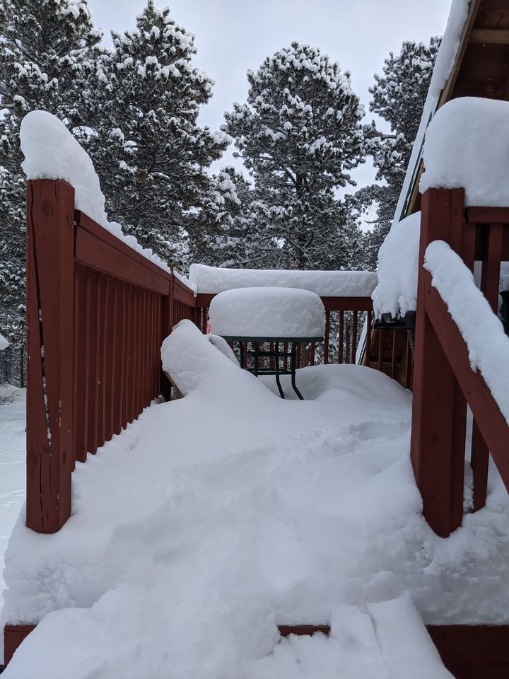
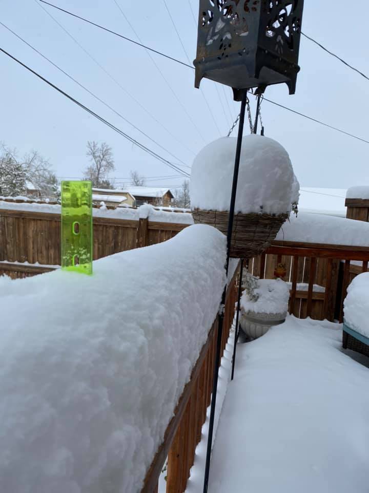
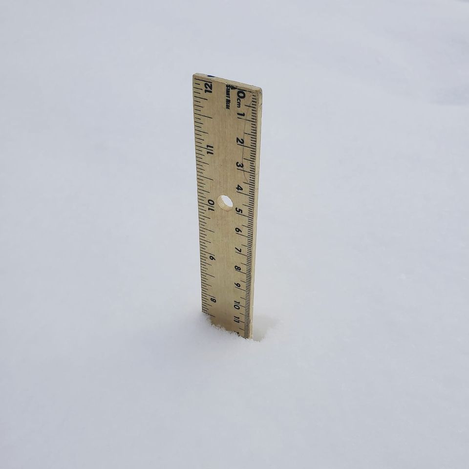
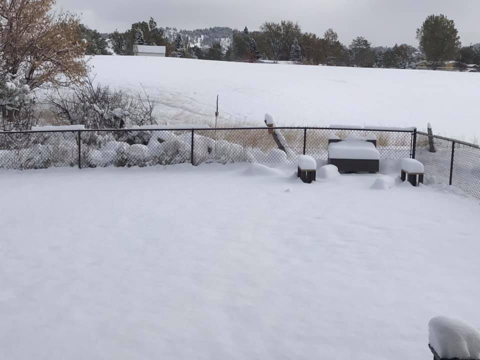
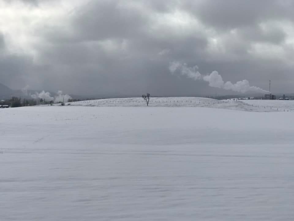
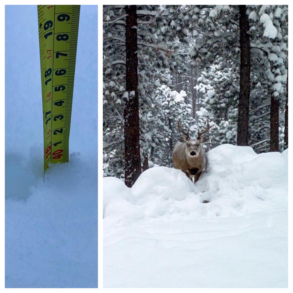
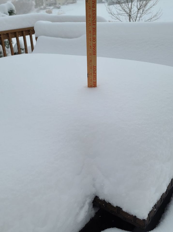
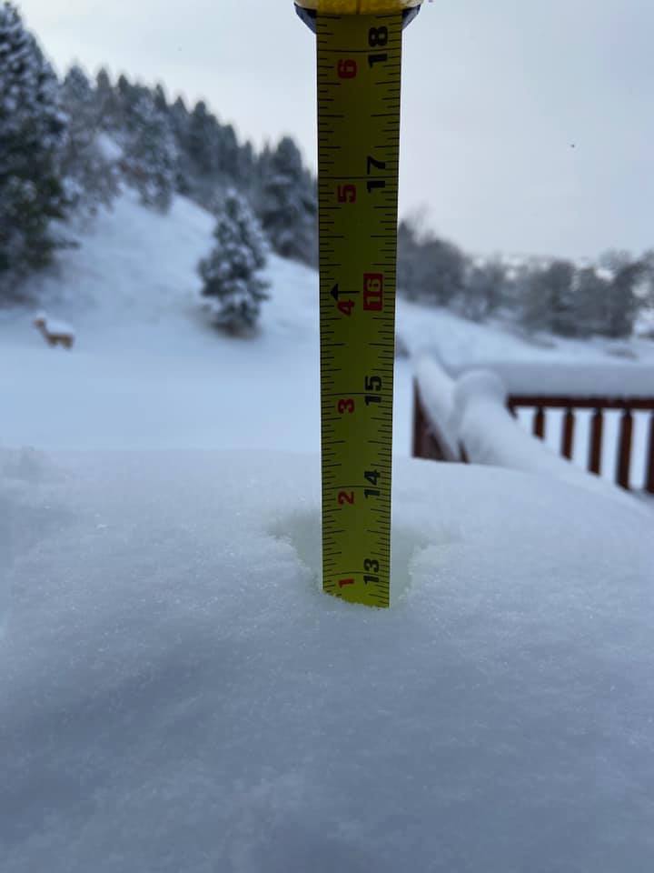
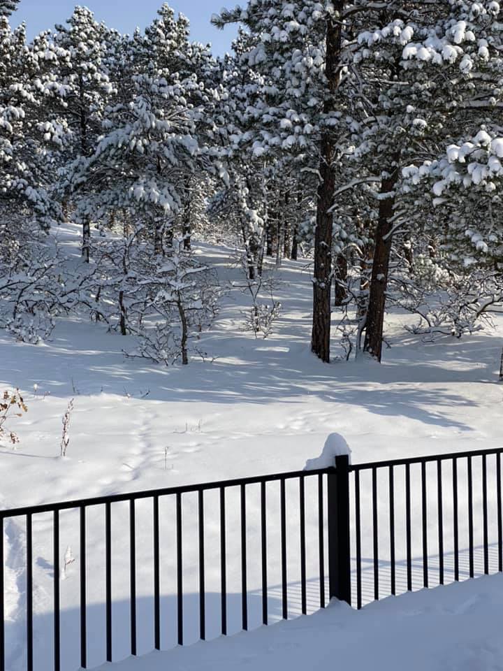
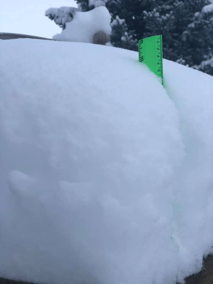
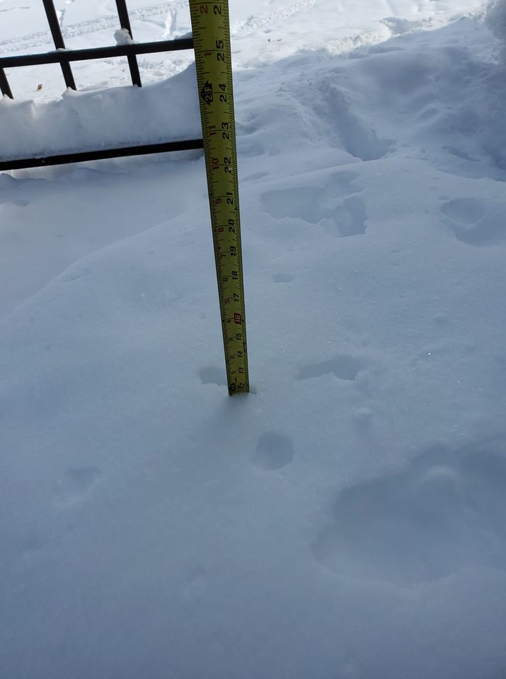
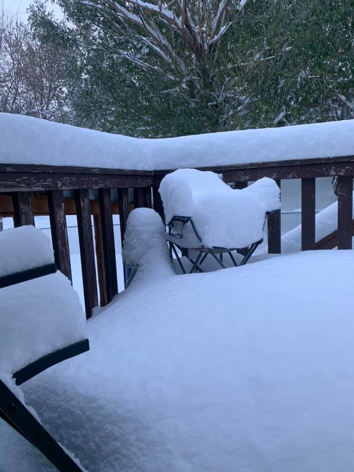
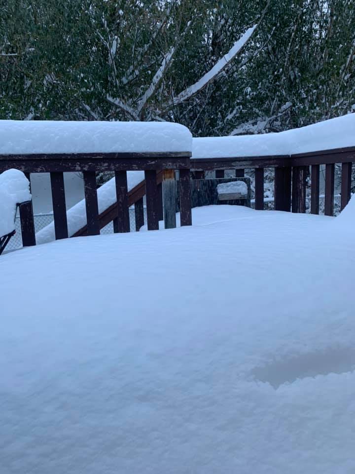
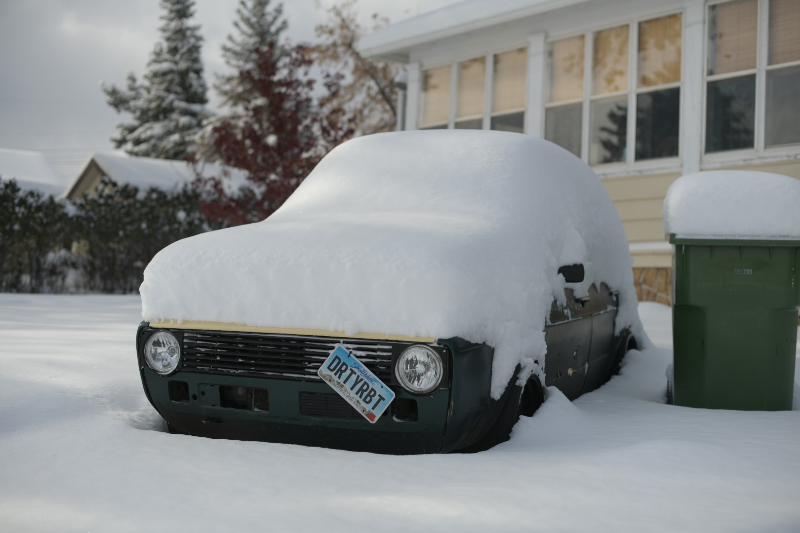
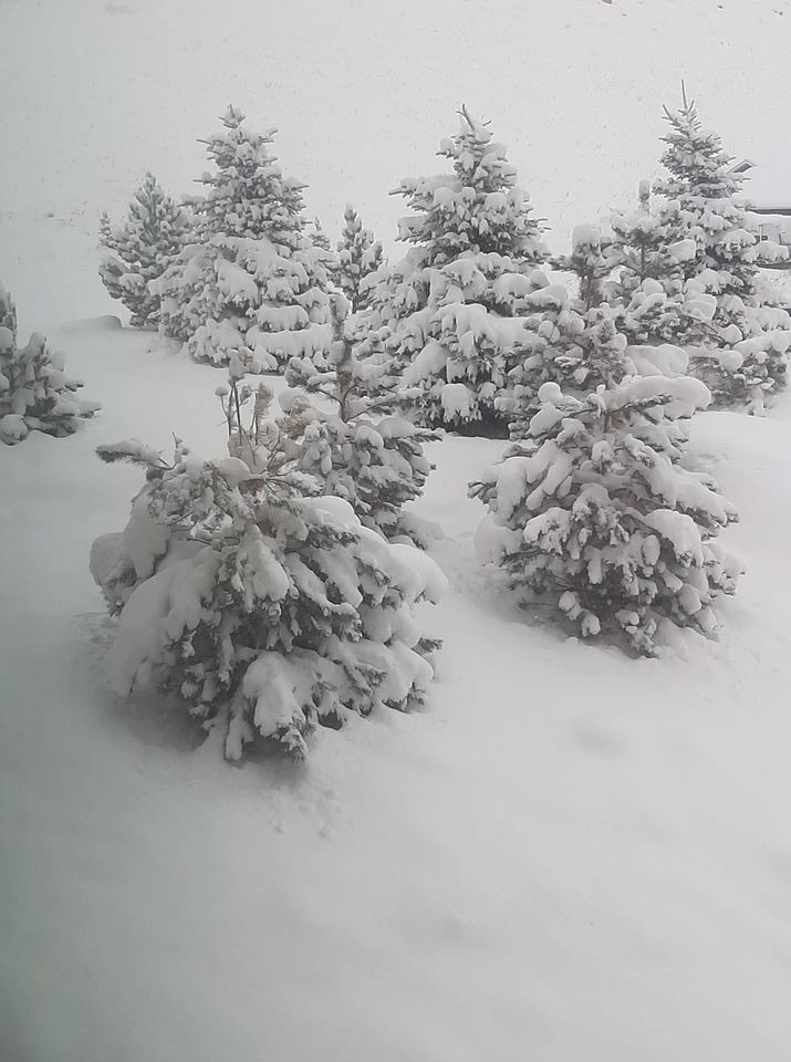
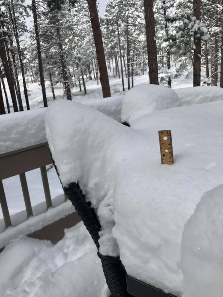
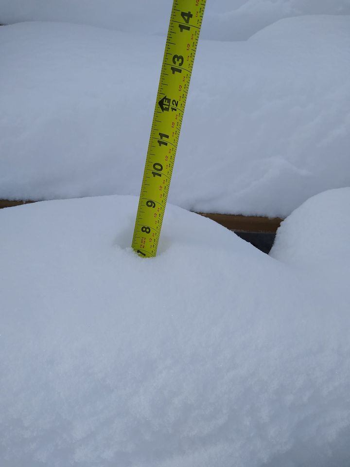
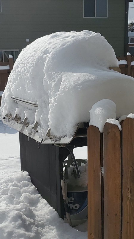
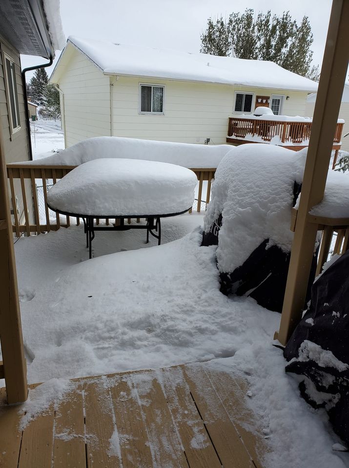
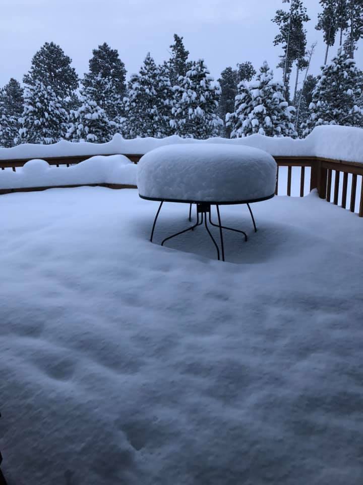
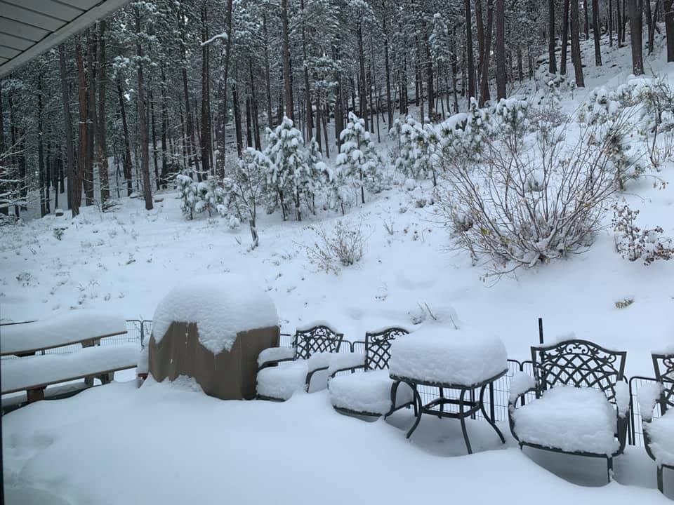
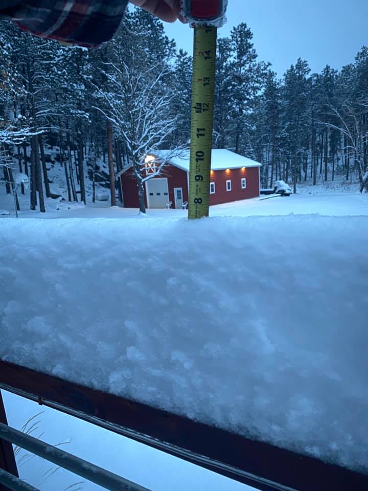
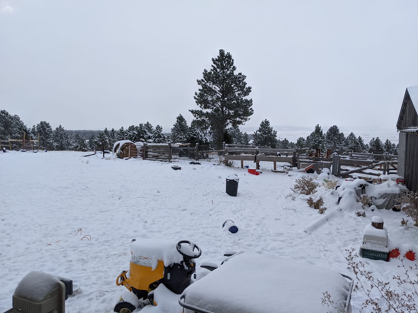
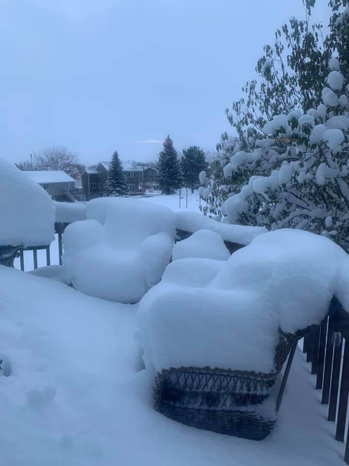
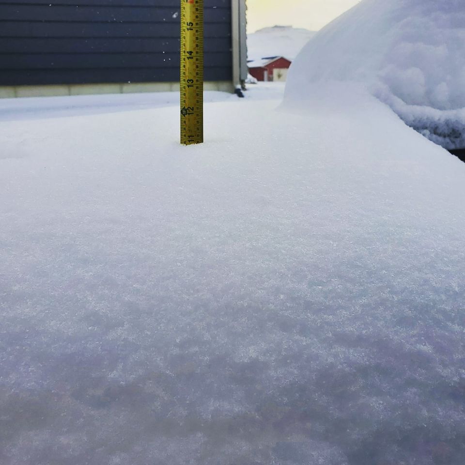
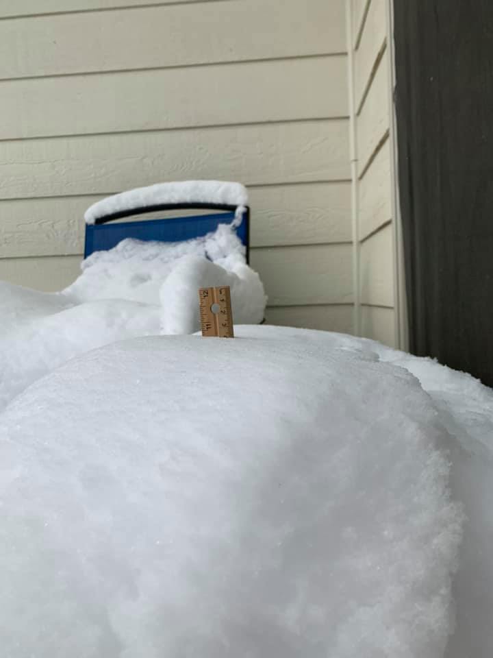
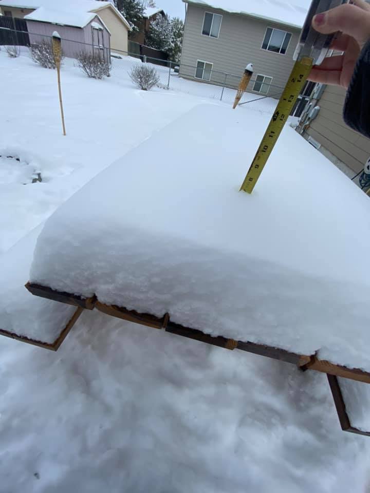
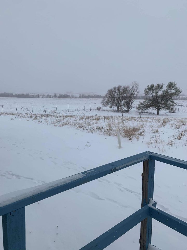
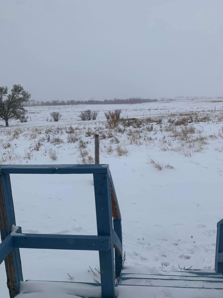
| Beginning on October 24, 2020, a winter storm brought heavy snow and breezy conditions to much of the area. Snow continued through early on October 25th before tapering off from north to south. Over a foot of snow was observed across portions of the northern and central Black Hills and foothills, with isolated amounts up to a foot across the west central South Dakota plains. The remainder of the area saw a few to several inches of snow. Altogether, the snow and wind led to hazardous travel conditions during the day and night of October 24th and into the morning of October 25th. This system also brought record cold to the area. As of October 25th, daily record low temperatures were set in downtown Rapid City on both the 23rd and 24th, with additional record lows possible over the next day or two. |
 |
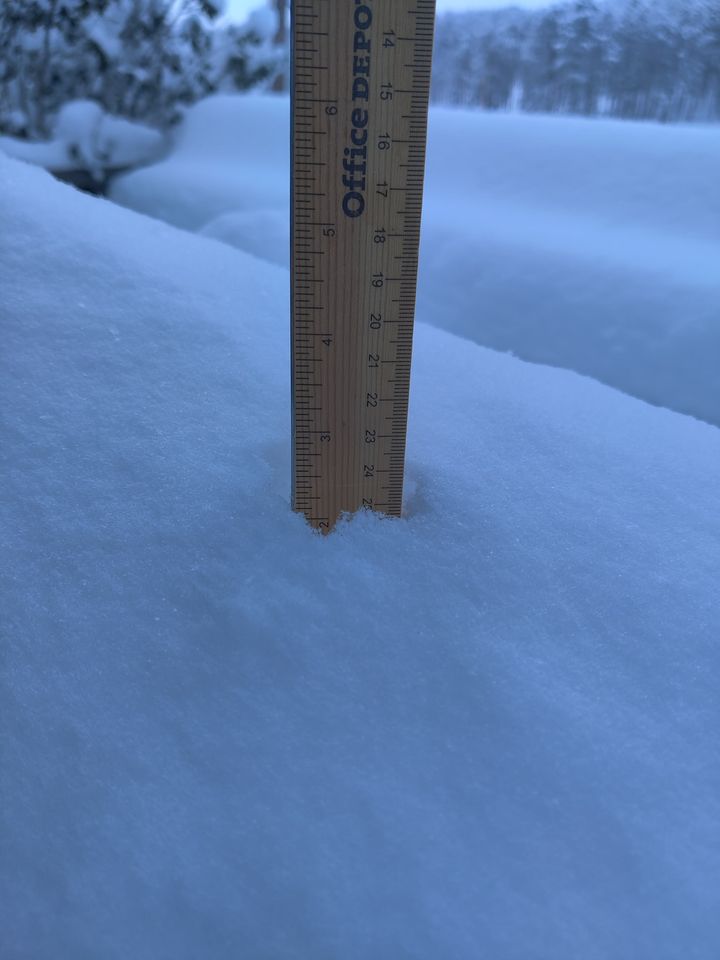
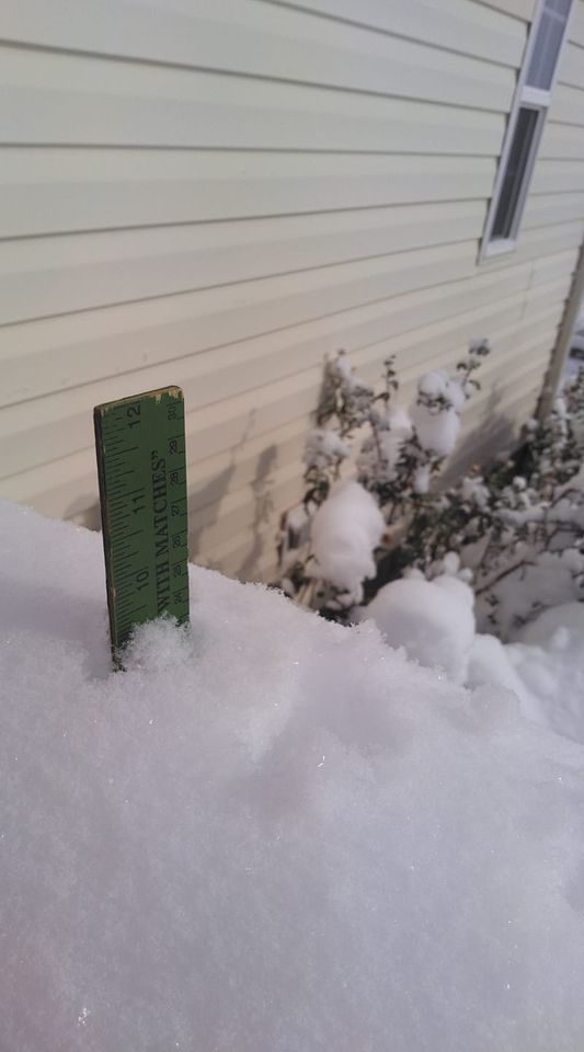
| Sturgis (courtesy Chris Yushta) |
Snowfall
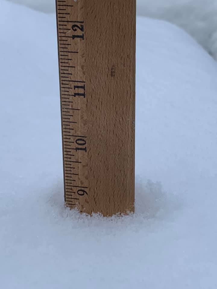
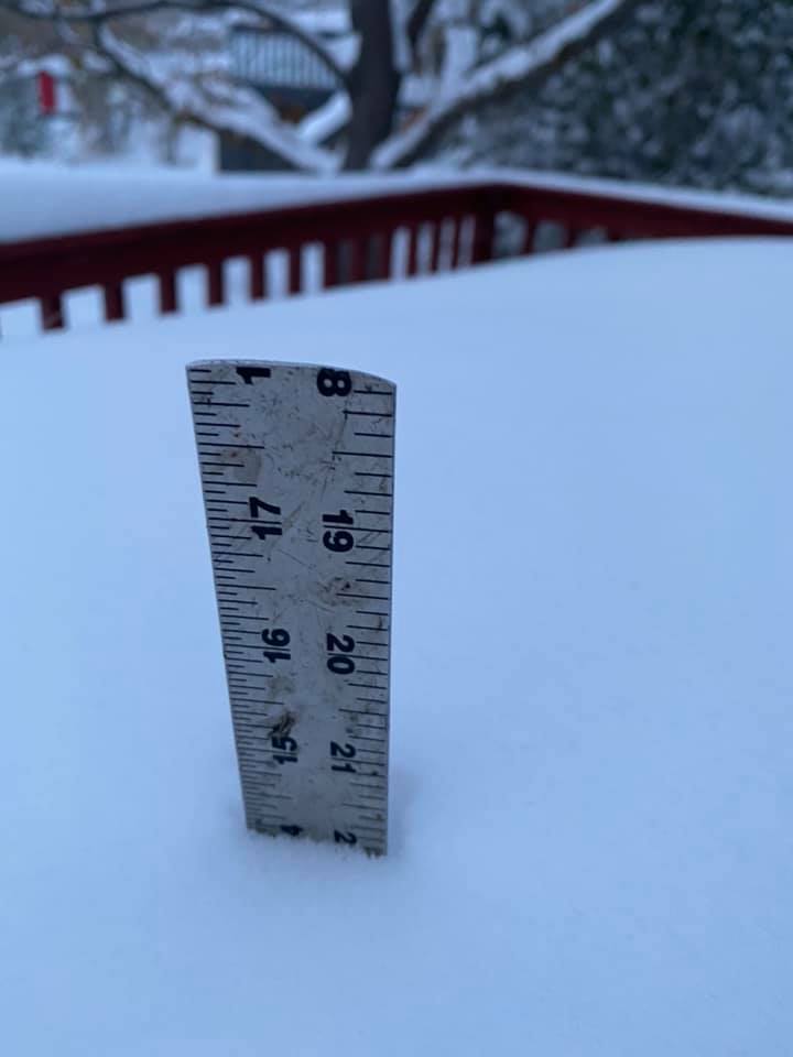
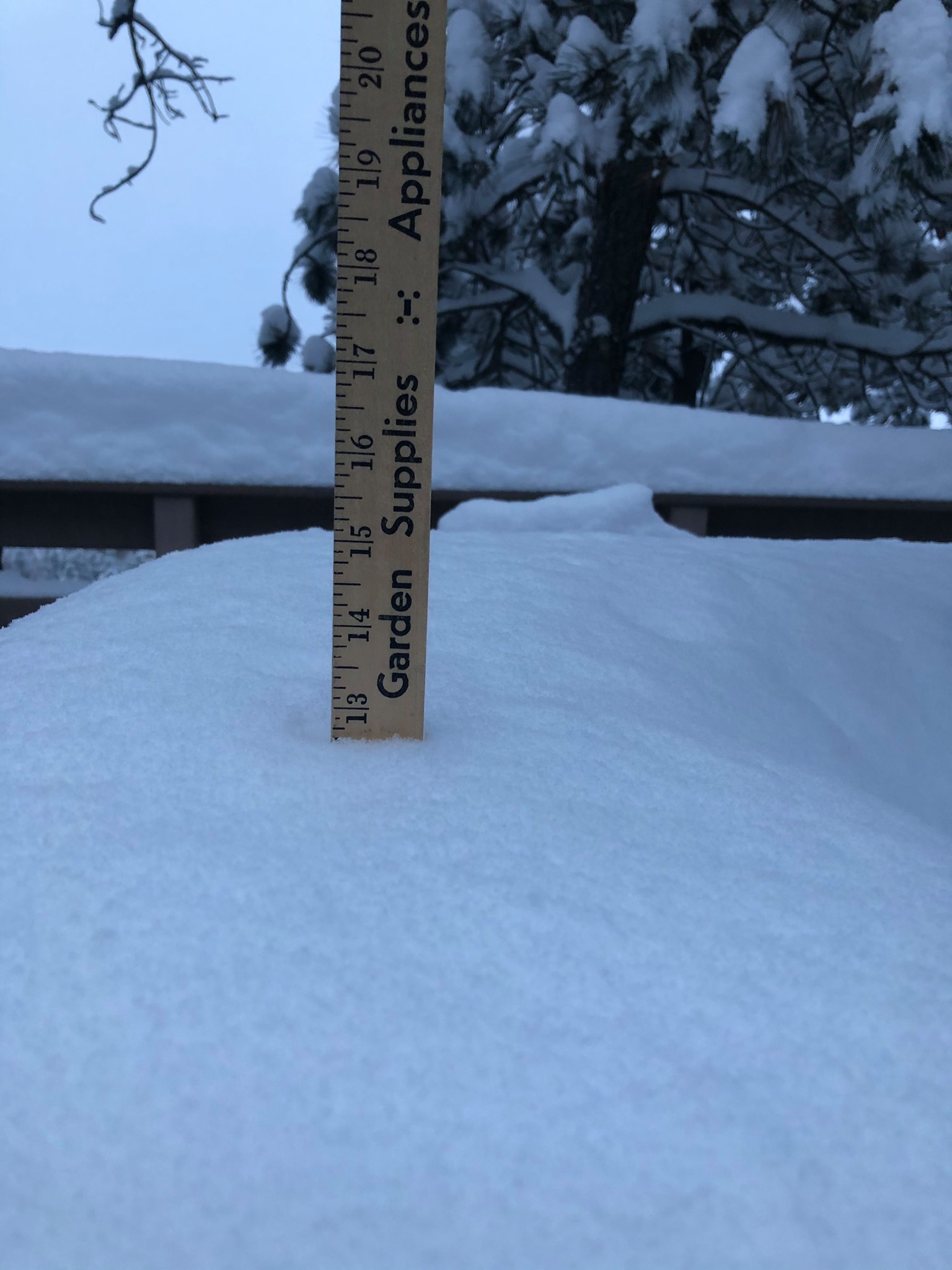
THE STORM REPORTS LISTED BELOW ARE IN DESCENDING ORDER AND MAY NOT
NECESSARILY BE THE FINAL STORM REPORTS.

SNOW REPORTS LISTED BY AMOUNT

 INCHES  LOCATION                 ST  COUNTY           TIME
 ------  -----------------------  --  --------------   -------
 16.00   4 NNE JOHNSON SIDING     SD  PENNINGTON       0105 PM
 14.50   4 WSW SUMMERSET          SD  MEADE            0750 AM
 14.00   5 SE DWTN SPEARFISH      SD  LAWRENCE         0235 PM
 14.00   BLACK HAWK               SD  MEADE            1200 PM
 13.50   5 NW DWTN RAPID CITY     SD  PENNINGTON       1130 AM
 13.00   1 SE DWTN SPEARFISH      SD  LAWRENCE         1130 AM
 12.00   2 SW KIRLEY              SD  HAAKON           1208 PM
 12.00   1 SW STURGIS             SD  MEADE            1100 AM
 12.00   ALADDIN                  WY  CROOK            1100 AM
 12.00   DWTN SPEARFISH           SD  LAWRENCE         0815 AM
 12.00   BLACK HAWK               SD  MEADE            0719 AM
 12.00   1 SW MEADOW              SD  PERKINS          0700 AM
 12.00   5 SE DWTN SPEARFISH      SD  LAWRENCE         0647 AM
 11.40   5 SW DWTN RAPID CITY     SD  PENNINGTON       0745 AM
 11.00   WHITEWOOD                SD  LAWRENCE         1220 PM
 11.00   9 W DWTN SPEARFISH       SD  LAWRENCE         1200 PM
 11.00   1 SW BLACK HAWK          SD  MEADE            1130 AM
 11.00   1 W STURGIS              SD  MEADE            1100 AM
 11.00   SUMMERSET                SD  MEADE            1100 AM
 11.00   BOX ELDER                SD  PENNINGTON       1100 AM
 11.00   6 SW BEULAH              WY  CROOK            0800 AM
 10.50   1 NNW PIEDMONT           SD  MEADE            0931 AM
 10.00   1 N DEADWOOD             SD  LAWRENCE         0217 PM
 10.00   4 NE HISEGA              SD  PENNINGTON       0627 AM
  9.50   14 NNW DWTN GILLETTE     WY  CAMPBELL         0700 AM
  9.20   7 W DWTN RAPID CITY      SD  PENNINGTON       0700 AM
  9.00   3 SSE DWTN RAPID CITY    SD  PENNINGTON       1220 PM
  9.00   1 S PHILIP               SD  HAAKON           1209 PM
  9.00   2 SW ROCKERVILLE         SD  PENNINGTON       1130 AM
  9.00   1 NNE JOHNSON SIDING     SD  PENNINGTON       1100 AM
  9.00   NEW UNDERWOOD            SD  PENNINGTON       1100 AM
  9.00   3 NE WHITEWOOD           SD  LAWRENCE         0930 AM
  9.00   DWTN SPEARFISH           SD  LAWRENCE         0913 AM
  9.00   BELLE FOURCHE            SD  BUTTE            0900 AM
  9.00   DWTN SPEARFISH           SD  LAWRENCE         0800 AM
  9.00   3 SW DWTN RAPID CITY     SD  PENNINGTON       0800 AM
  8.50   LEAD                     SD  LAWRENCE         0900 AM
  8.50   7 NNW DWTN SPEARFISH     SD  LAWRENCE         0700 AM
  8.00   MISSION                  SD  TODD             0810 PM
  8.00   5 SE SOUTH EAGLE BUTTE   SD  ZIEBACH          1225 PM
  8.00   MIDLAND                  SD  HAAKON           1212 PM
  8.00   SUMMERSET                SD  MEADE            1130 AM
  8.00   2 W DWTN SPEARFISH       SD  LAWRENCE         0747 AM
  8.00   4 S RAPID CITY           SD  PENNINGTON       0700 AM
  8.00   1 SSE BELLE FOURCHE      SD  BUTTE            0700 AM
  8.00   3 WNW DWTN SPEARFISH     SD  LAWRENCE         0700 AM
  7.90   5 ESE DWTN RAPID CITY    SD  PENNINGTON       0700 AM
  7.80   4 NE ROCKERVILLE         SD  PENNINGTON       0847 AM
  7.80   4 NNW WHITEWOOD          SD  LAWRENCE         0545 AM
  7.50   5 SW DWTN RAPID CITY     SD  PENNINGTON       0730 AM
  7.50   3 NNE JOHNSON SIDING     SD  PENNINGTON       0700 AM
  7.30   PIEDMONT                 SD  MEADE            0727 AM
  7.00   5 NE MILESVILLE          SD  HAAKON           0600 PM
  7.00   14 SSW PROVO             SD  FALL RIVER       1228 PM
  7.00   5 WNW HERMOSA            SD  CUSTER           1106 AM
  7.00   4 ESE DWTN RAPID CITY    SD  PENNINGTON       1100 AM
  7.00   3 S ALADDIN              WY  CROOK            1055 AM
  7.00   1 SSW OPAL               SD  MEADE            1018 AM
  7.00   2 SE COLONY              WY  CROOK            0944 AM
  7.00   6 SSE BROWNSVILLE        SD  LAWRENCE         0941 AM
  7.00   4 ESE DWTN RAPID CITY    SD  PENNINGTON       0911 AM
  7.00   1 NNE SUNDANCE           WY  CROOK            0817 AM
  7.00   2 E COTTONWOOD           SD  JACKSON          0800 AM
  6.50   1 E DWTN RAPID CITY      SD  PENNINGTON       1200 PM
  6.50   PACTOLA RES              SD  PENNINGTON       0740 AM
  6.50   BLACK HAWK               SD  MEADE            0615 AM
  6.50   9 N CEDAR BUTTE          SD  MELLETTE         0600 AM
  6.00   5 SSE WINNER             SD  TRIPP            1259 PM
  6.00   4 NW PARMELEE            SD  TODD             1251 PM
  6.00   5 ESE NORRIS             SD  MELLETTE         1248 PM
  6.00   2 WSW BELLE FOURCHE RES  SD  BUTTE            1100 AM
  6.00   12 S FAITH               SD  MEADE            1019 AM
  6.00   10 WNW PINE TREE JUNCTI  WY  CAMPBELL         0922 AM
  6.00   2 ENE WESTON             WY  CAMPBELL         0908 AM
  6.00   14 NNE MARTIN            SD  BENNETT          0700 AM
  6.00   3 E KYLE                 SD  OGLALA LAKOTA    0700 AM
  6.00   2 SSW NORRIS             SD  MELLETTE         0700 AM
  5.50   8 N NEWCASTLE            WY  WESTON           0700 AM
  5.50   13 SSW NEWCASTLE         WY  WESTON           0700 AM
  5.50   HILL CITY                SD  PENNINGTON       0700 AM
  5.50   5 E PIEDMONT             SD  MEADE            0630 AM
  5.50   5 SW LODGEPOLE           SD  PERKINS          0600 AM
  5.00   LEMMON                   SD  PERKINS          0500 PM
  5.00   4 SE DWTN GILLETTE       WY  CAMPBELL         0430 PM
  5.00   ROCKYFORD                SD  OGLALA LAKOTA    0110 PM
  5.00   7 E CREIGHTON            SD  PENNINGTON       0109 PM
  5.00   COLOME                   SD  TRIPP            1259 PM
  5.00   2 W PINE RIDGE           SD  OGLALA LAKOTA    1242 PM
  5.00   8 E SMITHWICK            SD  FALL RIVER       1230 PM
  5.00   1 SW HERMOSA             SD  CUSTER           1047 AM
  5.00   3 SE DEERFIELD           SD  PENNINGTON       1033 AM
  5.00   1 ESE WINNER             SD  TRIPP            1027 AM
  5.00   4 S DEVILS TOWER         WY  CROOK            1000 AM
  5.00   CHEYENNE CROSSING        SD  LAWRENCE         0942 AM
  5.00   9 WSW RED ELM            SD  ZIEBACH          0751 AM
  5.00   5 E BELLE FOURCHE RESV   SD  BUTTE            0736 AM
  5.00   3 WNW KADOKA             SD  JACKSON          0730 AM
  5.00   KEYSTONE                 SD  PENNINGTON       0611 AM
  5.00   4 E NEWCASTLE            WY  WESTON           0600 AM
  5.00   14 ENE MARTIN            SD  BENNETT          0600 AM
  4.80   7 NW CEDAR BUTTE         SD  MELLETTE         0700 AM
  4.50   8 NNE BOX ELDER          SD  MEADE            0700 AM
  4.50   11 NE WESTON             WY  CAMPBELL         0700 AM
  4.50   7 N WOOD                 SD  MELLETTE         0600 AM
  4.20   6 SSW LEAD               SD  LAWRENCE         0700 AM
  4.00   2 W CUSTER               SD  CUSTER           0110 PM
  4.00   6 SSW ELM SPRINGS        SD  MEADE            0110 PM
  4.00   9 NNW CREIGHTON          SD  PENNINGTON       0109 PM
  4.00   1 ENE MILLBORO           SD  TRIPP            0100 PM
  4.00   PORCUPINE                SD  OGLALA LAKOTA    1243 PM
  4.00   2 N FOUR CORNERS         WY  WESTON           0958 AM
  4.00   10 WNW PINE TREE JUNCTI  WY  CAMPBELL         0923 AM
  4.00   12 S QUINN               SD  PENNINGTON       0800 AM
  4.00   3 SE HARDING             SD  HARDING          0800 AM
  4.00   2 NE BOX ELDER           SD  PENNINGTON       0800 AM
  4.00   7 WSW FOLSOM             SD  CUSTER           0700 AM
  4.00   14 S MISSION             SD  TODD             0700 AM
  4.00   OPAL                     SD  MEADE            0700 AM
  4.00   6 WSW OPAL               SD  MEADE            0700 AM
  4.00   2 SW KEYSTONE            SD  PENNINGTON       1158 PM
  3.50   14 NW EDGEMONT           SD  FALL RIVER       0800 AM
  3.50   HOT SPRINGS              SD  FALL RIVER       0700 AM
  3.50   EDGEMONT                 SD  FALL RIVER       0630 AM
  3.00   WASTA                    SD  PENNINGTON       0110 PM
  3.00   2 W IDEAL                SD  TRIPP            0100 PM
  3.00   1 S MANDERSON            SD  OGLALA LAKOTA    1243 PM
  3.00   7 WSW JEWEL CAVE         SD  CUSTER           1048 AM
  3.00   2 SSW CUSTER             SD  CUSTER           1048 AM
  3.00   UPTON                    WY  WESTON           0959 AM
  3.00   1 E CLARETON             WY  WESTON           0959 AM
  3.00   1 SE NEWCASTLE           WY  WESTON           0959 AM
  3.00   2 E LADNER               SD  HARDING          0918 AM
  3.00   EDGEMONT                 SD  FALL RIVER       0700 AM
  3.00   8 E MARTIN               SD  BENNETT          0600 AM
  3.00   9 ENE WEWELA             SD  TRIPP            0600 AM
  2.50   SUNDANCE                 WY  CROOK            0600 AM
  2.00   2 NW BUFFALO GAP         SD  CUSTER           1047 AM
  2.00   10 SSW REVA              SD  HARDING          0922 AM
  2.00   8 NNW USTA               SD  PERKINS          0700 AM
  2.00   ORAL                     SD  FALL RIVER       0700 AM
  1.60   HOT SPRINGS              SD  FALL RIVER       0400 PM
  1.50   11 NW UNION CENTER       SD  MEADE            0700 AM
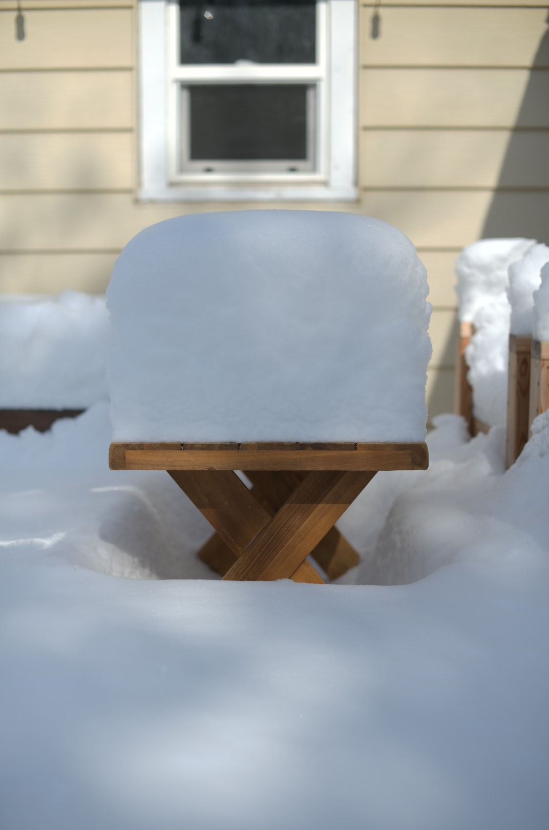
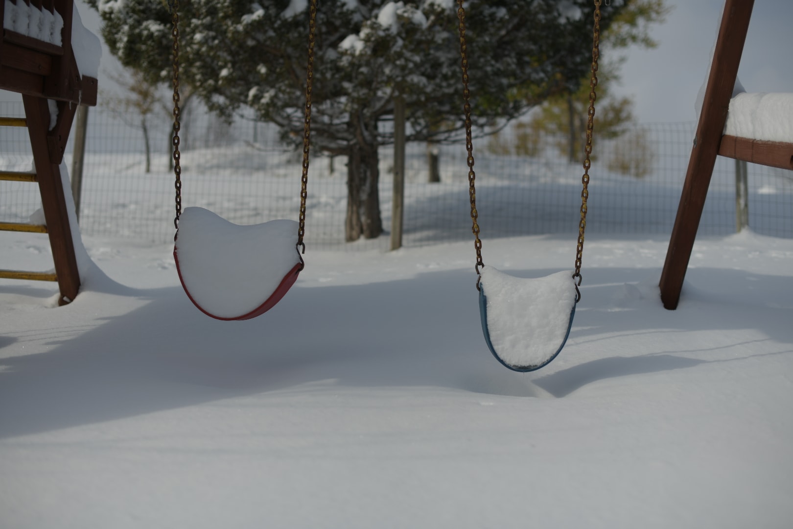
Photos & Video
 |
 |
 |
 |
| Spearfish (courtesy Bobby Rock) |
Spearfish (courtesy Bobby Rock) |
Spearfish (courtesy Brenda Randall Lewis) |
Spearfish (courtesy Rebecca Kalbach) |
 |
 |
 |
| Spearfish (courtesy Jodi Lynn) |
Spearfish (courtesy Jodi Lynn) |
Spearfish (courtesy Julie Miller Limke) |
 |
 |
 |
 |
| Spearfish (courtesy Shelly Nisly) |
Spearfish (courtesy Terry Liddick) |
Aladdin (courtesy Kathy Watters) |
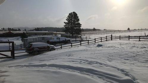
Off of Bear Ridge Road (courtesy Veronica Widdoss) |
 |
 |
 |
 |
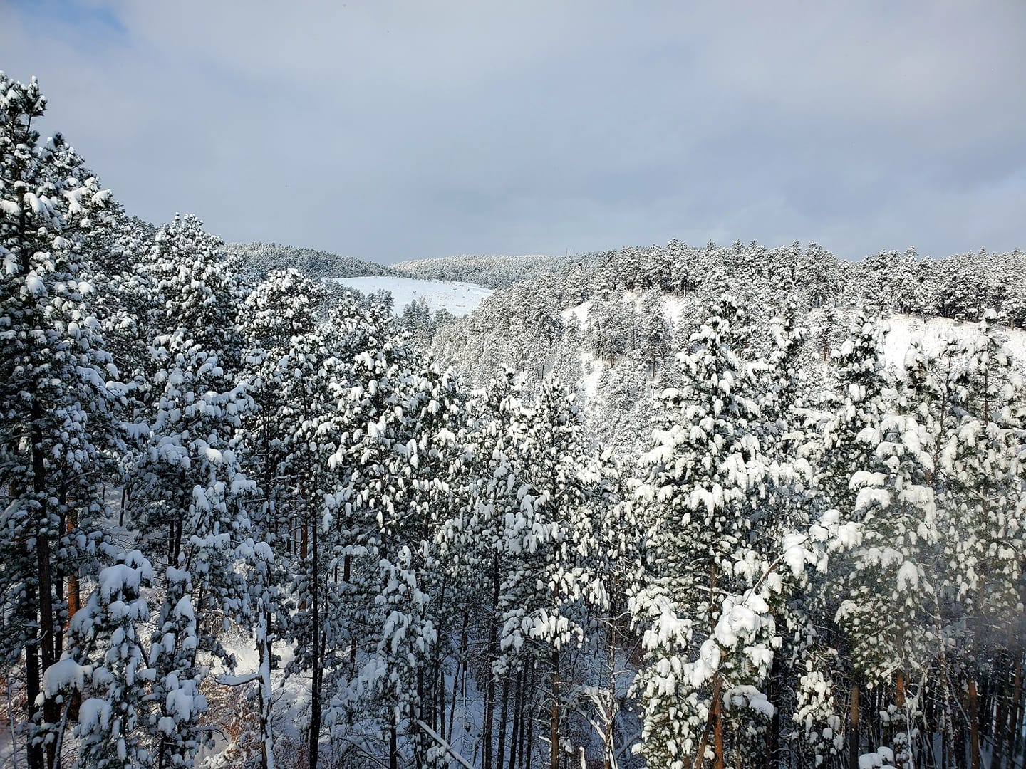
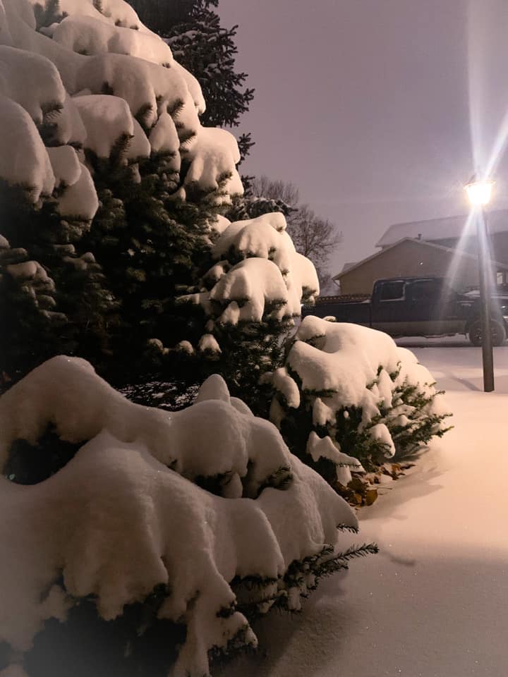
| Sturgis (courtesy Elise Hess) |
Sturgis (courtesy Kevin Forrester) |
Sturgis (courtesy Michelle Menard) |
Sturgis (courtesy Michelle Menard) |
 |
 |
 |
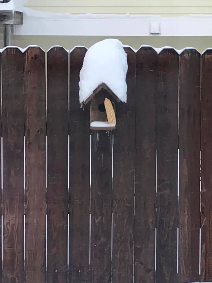
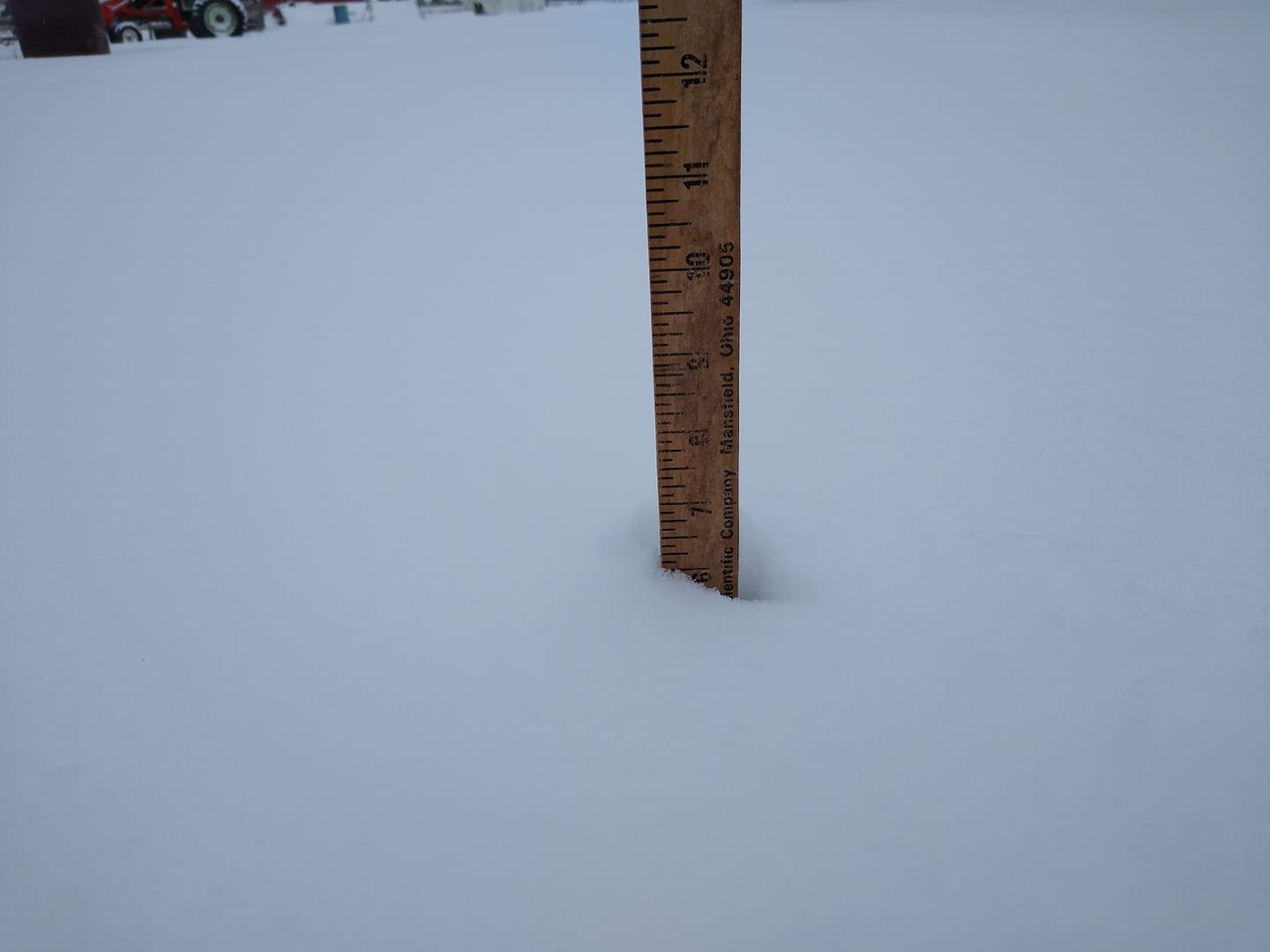
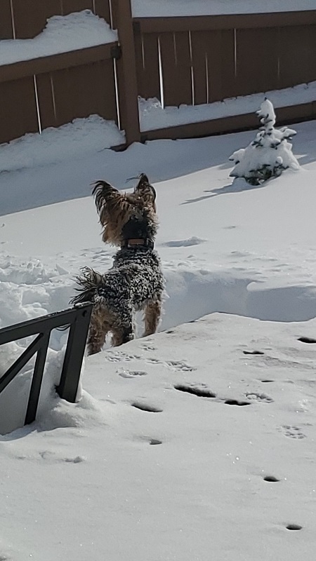
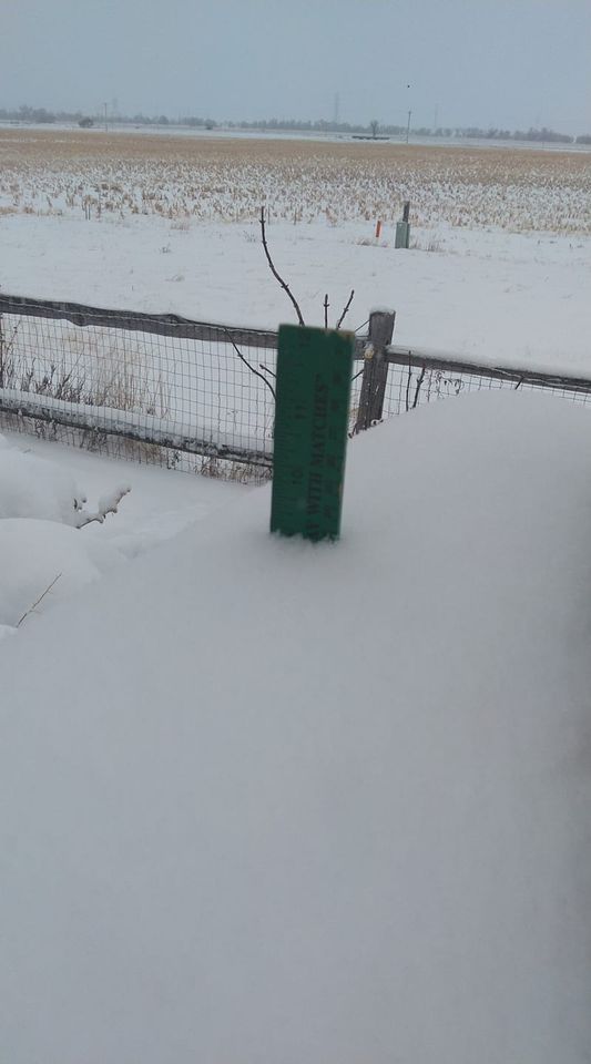
| Sturgis (courtesy Chris Yushta) |
||
 |
 |
 |
| Belle Fourche (courtesy Anne Norwood Carter) |
East of Belle Fourche (courtesy Sunday Bossert) |
Near Devil's Tower (courtesy Heike Bohl) |
 |
 |
 |
 |
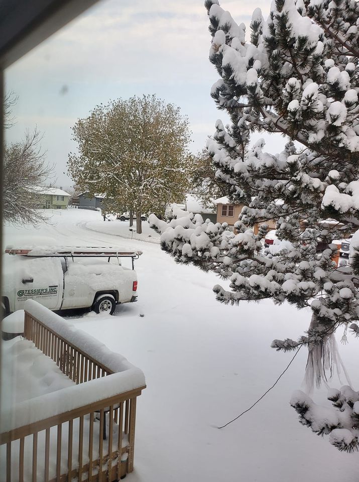
| Whitewood (courtesy Cindy and Bill Schoon) |
Deadwood (courtesy Susan Sidy Zepkin) |
Norris Peak Road (courtesy Judie Stratman) |
|
 |
 |
 |
 |
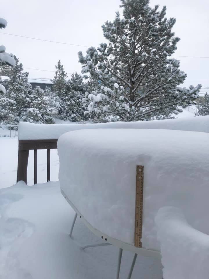
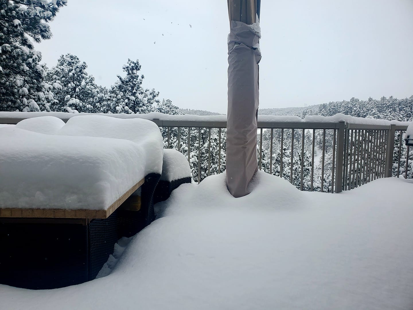
| Summerset (courtesy Dustin Hoiten) |
Summerset (courtesy Kayla Peterson) |
Summerset (courtesy Lisa Walker) |
|
 |
 |
 |
 |
| Black Hawk (courtesy Cyrissa Thompson) |
Black Hawk (courtesy Paula Raridon) |
Black Hawk (courtesy Tammy Hall) |
|
 |
 |
 |
 |
| Black Hawk (courtesy Wendy Siroshton) |
Nemo Road (courtesy Doc Savage) |
Nemo Road (courtesy Juli Ann York) |
Nemo Road (courtesy Bobbie Yorkey) |
 |
 |
 |
| Nemo Road (courtesy Dan Casey) |
Mission (courtesy Barbara Sully) |
|
 |
 |
 |
| Near Rockerville (courtesy Stacy Smith) |
Keystone Wye (courtesy Ann D. Hovdenes) |
Custer (courtesy Carl Hansen) |
 |
 |
 |
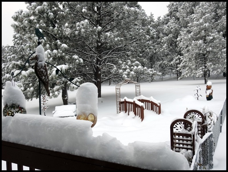
| Argyle (courtesy Denise Swartz) |
Argyle (courtesy Alexandra Odom) |
Rapid City (courtesy Greg Wallum) |
 |
 |
 |
 |
| Box Elder (courtesy Chelsea Lynn) |
Box Elder (courtesy Natashia Saurey) |
Rapid Valley (courtesy Karli Green) |
Rapid Valley (courtesy Tricha Kirby) |
 |
 |
 |
 |
| Rockyford (courtesy Shawna Janis) |
New Underwood (courtesy Chad Tussing) |
||
 |
 |
 |
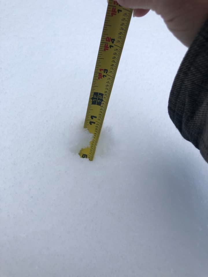
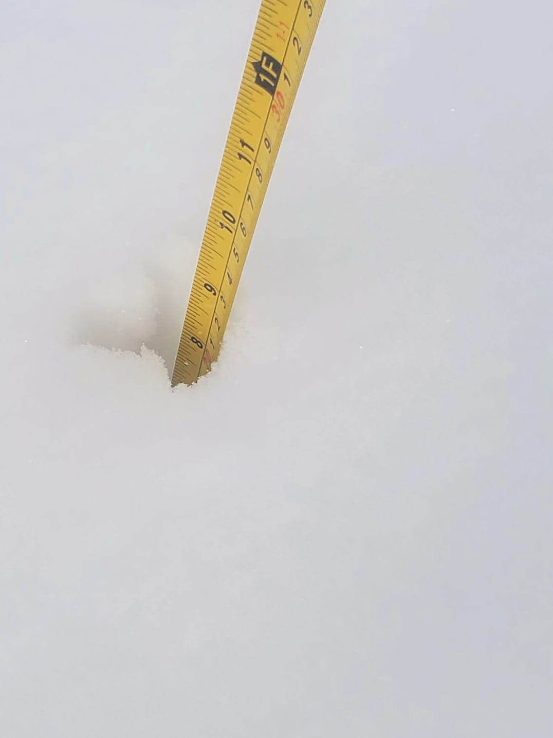
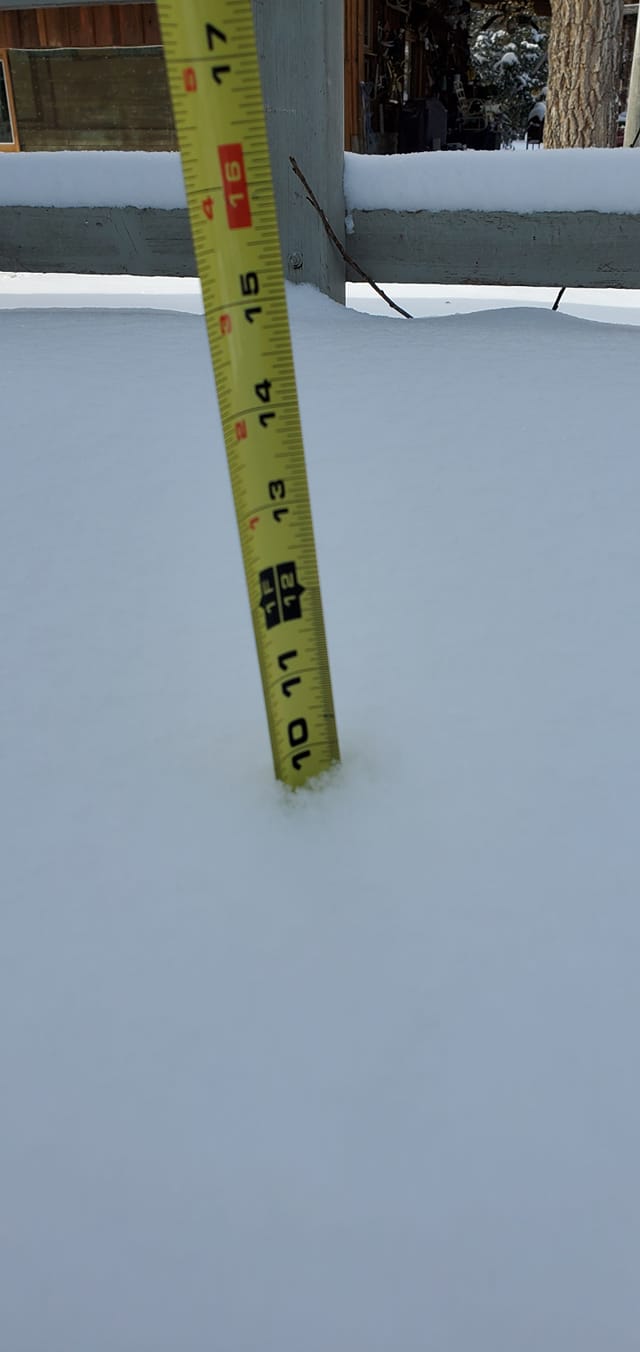
| Lemmon (courtesy John P. Hausauer) |
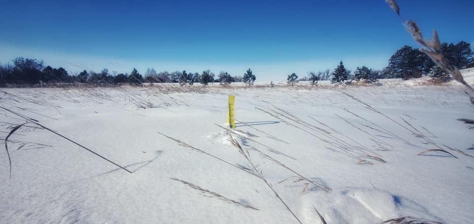
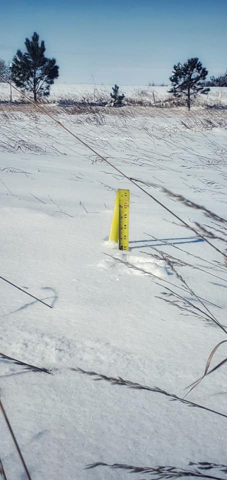
Meadow (courtesy Jessica Lawson) |
|
Radar
 |
Media use of NWS Web News Stories is encouraged! Please acknowledge the NWS as the source of any news information accessed from this site. |
|

