
Tropical Depression Two is expected to gradually strengthen and could bring tropical storm conditions to the Florida Panhandle beginning late Monday. Areas of flash flooding will be possible through Thursday along the eastern and central Gulf Coast. Severe thunderstorms will develop and move along a cold front crossing the Upper Midwest Monday, and through the Ohio Valley/Mid-Atlantic on Tuesday. Read More >
Overview
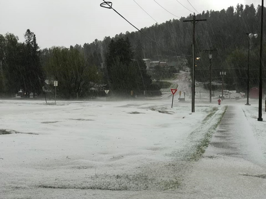
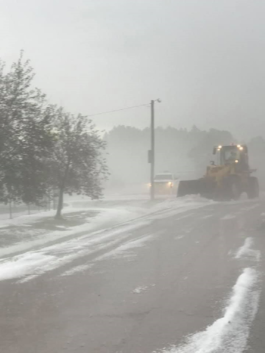
In the early afternoon of June 25, 2020, a severe thunderstorm developed over Custer. Hail reports ranged in size from peas to golf balls, and the massive amounts of hail that accumulated forced plows to clear roads. In addition, the combination of heavy rain and accumulating hail caused some flooding around Custer.
Photos & Video
Hail
 |
 |
 |
| courtesy Custer County Sheriff | courtesy Custer County Sheriff | courtesy Custer County Sheriff |
 |
 |
||
| courtesy Custer County Sheriff | courtesy Susan Parker |
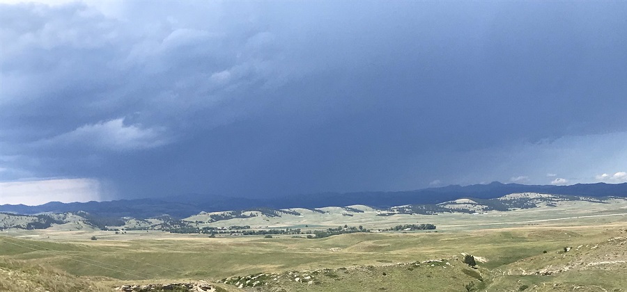
Storm Photo
 |
|||
| courtesy Jim Strain |
Videos
Hail no. ðŸ¤¦â™€ï¸ #wx #sdwx #weather #kotaweather @NWSRapidCity @KOTAWeather @NewsCenter1 @WeatherNation pic.twitter.com/LzTlvqOwFY
— Nature Tech Family (@naturetechfam) June 25, 2020
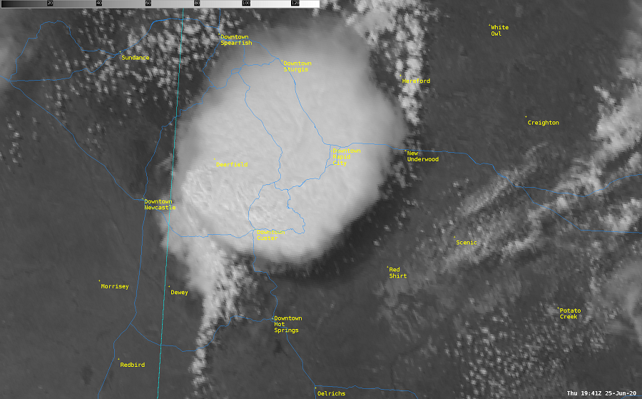
Radar and Satellite
Radar
Satellite
 |
 |
Media use of NWS Web News Stories is encouraged! Please acknowledge the NWS as the source of any news information accessed from this site. |
|

