
Heat expands across the Desert Southwest, Plains, Mississippi Valley and Midwest into Monday. Fire weather concerns continue for portions of the Intermountain West. Active monsoonal moisture fuels thunderstorms over the Southwest with possible flash flooding. Tropical cyclone Fausto in the Pacific, should weaken as it approaches Hawaii; Dangerous surf, swells and rip currents are expected. Read More >
Overview
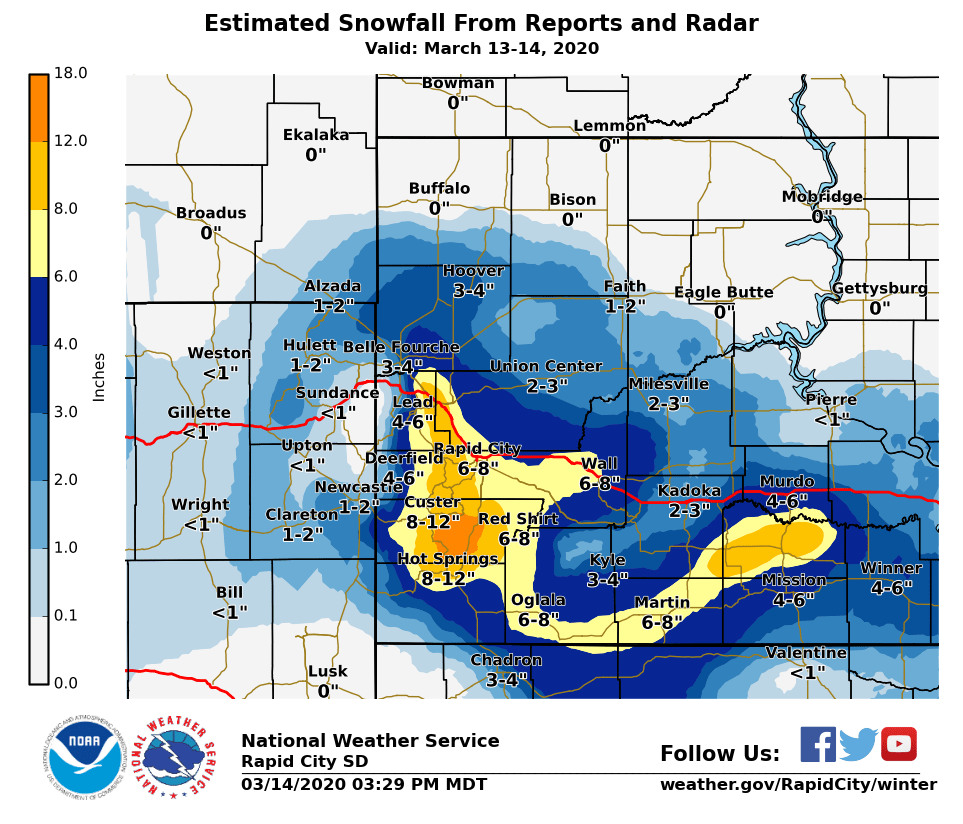
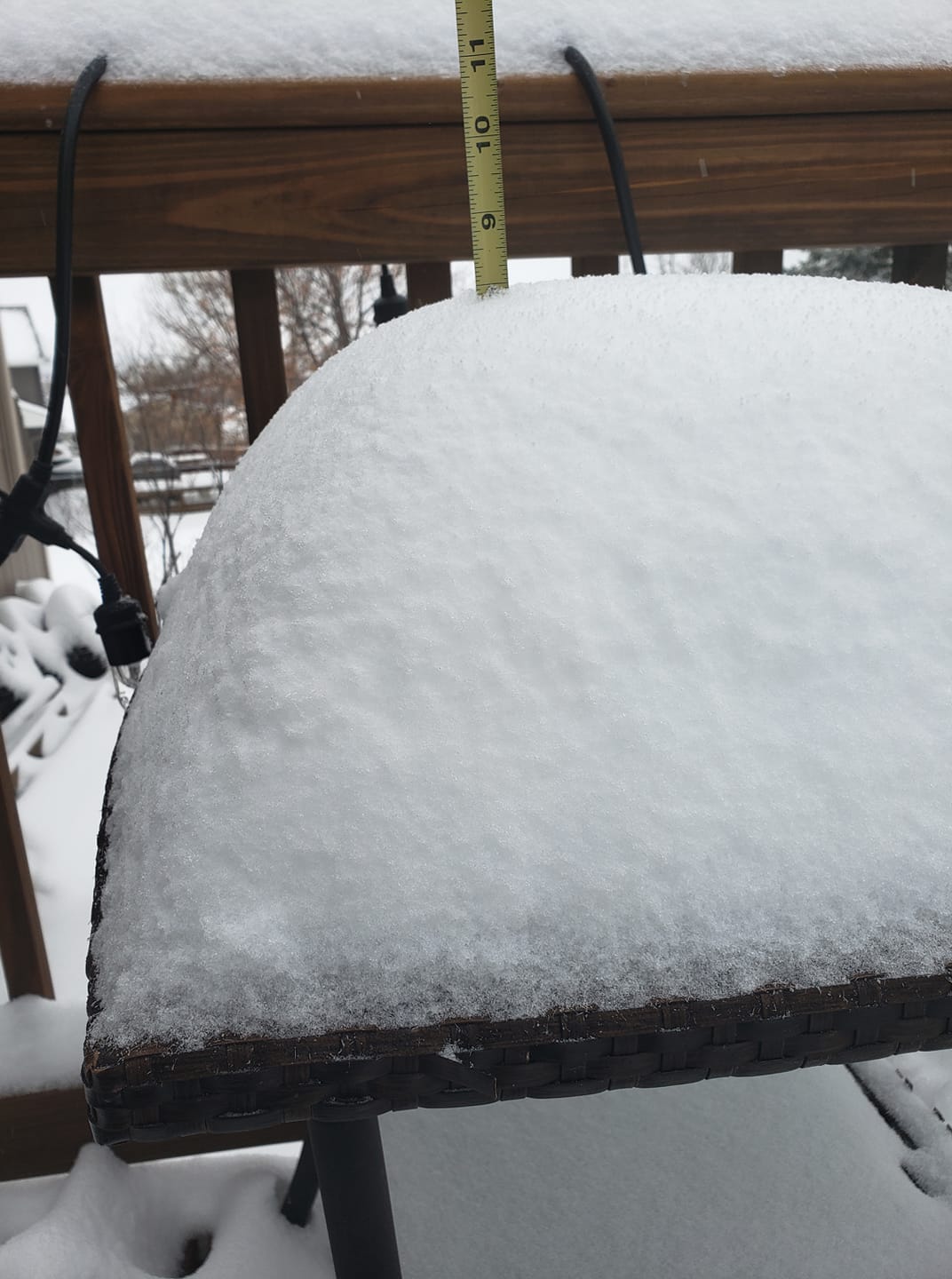
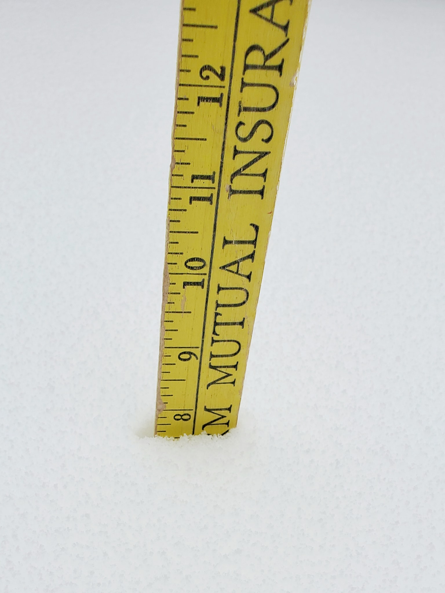
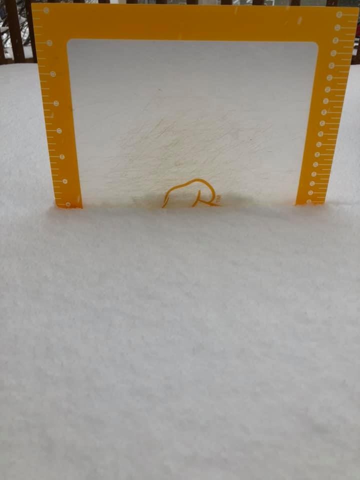
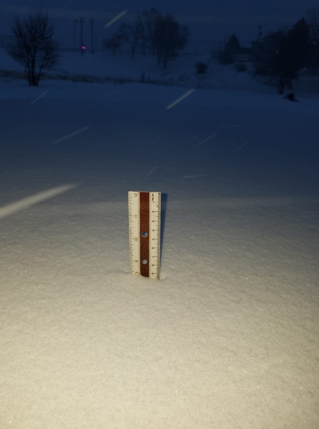
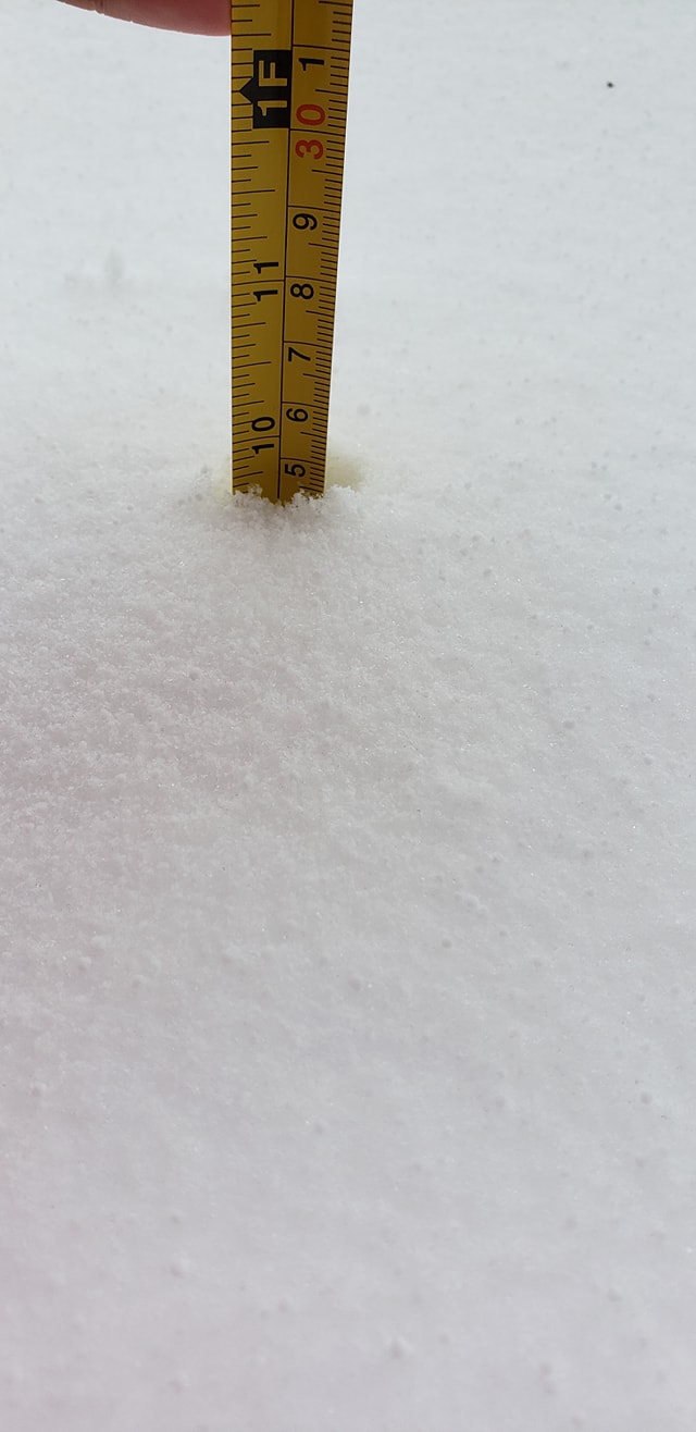
A strong upper-level disturbance brought heavy snow to portions of the Black Hills and western South Dakota from the afternoon of March 13th through the morning of March 14th. Highest snowfall totals were observed in the central and southern Black Hills and into the southern foothills, with around a foot of snow reported from near Custer, east to Hermosa, and south to Buffalo Gap. Several inches of snow were also observed across portions of the western and central South Dakota plains.
Here is a cool video received from Piedmont, SD that shows the drifts "coming alive" at night. Scroll down and click the tabs for pictures and radar.
Snow
 |
HE STORM REPORTS LISTED BELOW ARE IN DESCENDING ORDER AND MAY NOT
NECESSARILY BE THE FINAL STORM REPORTS.
SNOW REPORTS LISTED BY AMOUNT
INCHES LOCATION ST COUNTY TIME
------ ----------------------- -- -------------- -------
16.00 HAYWARD SD PENNINGTON 0622 PM
15.00 1 SSW KEYSTONE SD PENNINGTON 0539 PM
14.50 MOUNT RUSHMORE SD PENNINGTON 0620 PM
13.00 3 ESE HILL CITY SD PENNINGTON 0535 PM
13.00 5 SSW HERMOSA SD CUSTER 0833 AM
12.50 4 NNE JOHNSON SIDING SD PENNINGTON 0609 PM
12.00 5 ENE CUSTER SD CUSTER 1011 AM
12.00 BUFFALO GAP SD CUSTER 0740 AM
11.50 2 SW ROCKERVILLE SD PENNINGTON 0950 AM
11.00 HILL CITY SD PENNINGTON 0517 PM
11.00 KEYSTONE SD PENNINGTON 1200 PM
11.00 1 E HAYWARD SD PENNINGTON 1051 AM
10.70 3 NNE JOHNSON SIDING SD PENNINGTON 0800 AM
10.50 1 E CUSTER SD CUSTER 0840 AM
10.00 3 W HOT SPRINGS SD FALL RIVER 1157 AM
10.00 PACTOLA RES SD PENNINGTON 0800 AM
9.70 13 ENE WHITE RIVER SD MELLETTE 0700 AM
9.50 1 NNW PIEDMONT SD MEADE 0140 PM
9.50 4 NE ROCKERVILLE SD PENNINGTON 1011 AM
9.50 2 W SUMMERSET SD MEADE 0859 AM
9.00 5 ENE ROCKERVILLE SD PENNINGTON 0844 AM
9.00 8 W DWTN RAPID CITY SD PENNINGTON 0800 AM
9.00 3 WNW DWTN RAPID CITY SD PENNINGTON 0800 AM
9.00 7 W DWTN RAPID CITY SD PENNINGTON 0800 AM
9.00 5 SW DWTN RAPID CITY SD PENNINGTON 0800 AM
9.00 ROCKERVILLE SD PENNINGTON 0717 AM
8.00 3 SW CUSTER SD CUSTER 1208 PM
8.00 2 SW DWTN RAPID CITY SD PENNINGTON 0925 AM
8.00 4 W HOT SPRINGS SD FALL RIVER 0800 AM
8.00 HOT SPRINGS SD FALL RIVER 0800 AM
8.00 2 SSW NORRIS SD MELLETTE 0800 AM
8.00 7 W HERMOSA SD CUSTER 0755 AM
8.00 1 NE CUSTER SD CUSTER 0719 AM
8.00 HERMOSA SD CUSTER 0700 AM
7.50 1 WSW HOT SPRINGS SD FALL RIVER 0900 AM
7.50 3 WSW DWTN RAPID CITY SD PENNINGTON 0750 AM
7.50 BLACK HAWK SD MEADE 0647 AM
7.00 BOX ELDER SD PENNINGTON 0611 PM
7.00 4 SSW DWTN RAPID CITY SD PENNINGTON 1225 PM
7.00 1 SW HERMOSA SD CUSTER 0937 AM
7.00 2 W CUSTER SD CUSTER 0830 AM
7.00 3 SSE DWTN RAPID CITY SD PENNINGTON 0745 AM
7.00 2 W HOT SPRINGS SD FALL RIVER 0738 AM
6.70 17 NW WHITE RIVER SD MELLETTE 0700 AM
6.50 7 W CUSTER SD CUSTER 1153 AM
6.50 3 SW DWTN RAPID CITY SD PENNINGTON 0724 AM
6.40 1 E DWTN RAPID CITY SD PENNINGTON 0543 PM
6.20 MARTIN SD BENNETT 0831 AM
6.00 2 SSE TERRY PEAK SD LAWRENCE 0920 AM
6.00 2 NE BOX ELDER SD PENNINGTON 0900 AM
6.00 2 NE BOX ELDER SD PENNINGTON 0900 AM
6.00 4 S WASTA SD PENNINGTON 0832 AM
6.00 4 S DWTN RAPID CITY SD PENNINGTON 0805 AM
6.00 12 WSW HEREFORD SD MEADE 0800 AM
6.00 8 W JEWEL CAVE SD CUSTER 0741 AM
6.00 ORAL SD FALL RIVER 0730 AM
6.00 STURGIS SD MEADE 0728 AM
6.00 2 SSE DWTN RAPID CITY SD PENNINGTON 0630 AM
6.00 1 SSW RAPID VALLEY SD PENNINGTON 0630 AM
5.50 6 SSW LEAD SD LAWRENCE 0800 AM
5.50 4 NE DWTN RAPID CITY SD PENNINGTON 0700 AM
5.20 MYSTIC SD PENNINGTON 0440 PM
5.00 2 NW DWTN RAPID CITY SD PENNINGTON 0723 AM
4.70 5 E PIEDMONT SD MEADE 0800 AM
4.00 6 E TILFORD SD MEADE 1044 AM
4.00 WINNER SD TRIPP 0841 AM
4.00 NEWELL SD BUTTE 0754 AM
4.00 WOOD SD MELLETTE 0701 AM
4.00 3 E KYLE SD OGLALA LAKOTA 0700 AM
4.00 EDGEMONT SD FALL RIVER 0630 AM
3.50 7 NNE ELLSWORTH AFB SD MEADE 1043 AM
3.50 8 NNE BOX ELDER SD MEADE 0800 AM
3.00 PINE HAVEN WY CROOK 0817 AM
3.00 1 SSE BELLE FOURCHE SD BUTTE 0800 AM
3.00 13 SSW DALLAS SD TRIPP 0700 AM
2.50 5 ESE NORRIS SD MELLETTE 1158 AM
2.20 KADOKA SD JACKSON 0800 AM
2.00 3 SE HARDING SD HARDING 0800 AM
2.00 14 S MISSION SD TODD 0700 AM
2.00 OPAL SD MEADE 0700 AM
1.50 3 WNW DWTN SPEARFISH SD LAWRENCE 0800 AM
1.50 13 SSW NEWCASTLE WY WESTON 0800 AM
1.10 7 NNW DWTN SPEARFISH SD LAWRENCE 0800 AM
1.00 9 WSW RED ELM SD ZIEBACH 0732 AM
1.00 4 E NEWCASTLE WY WESTON 0700 AM
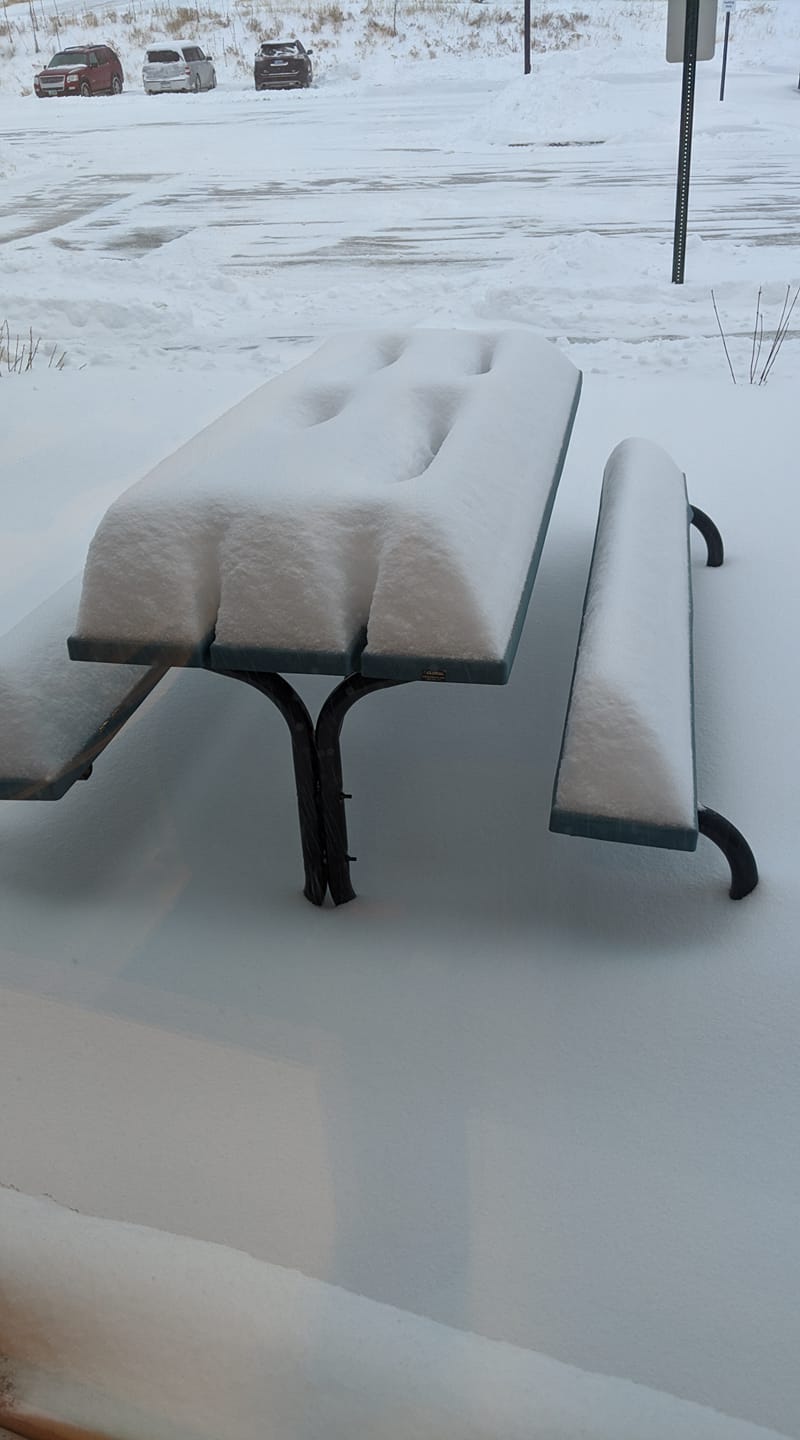
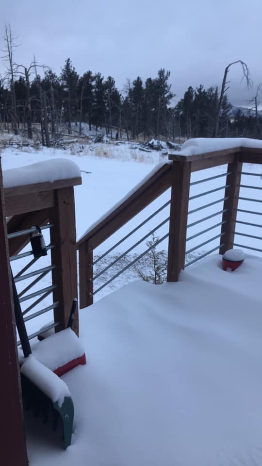
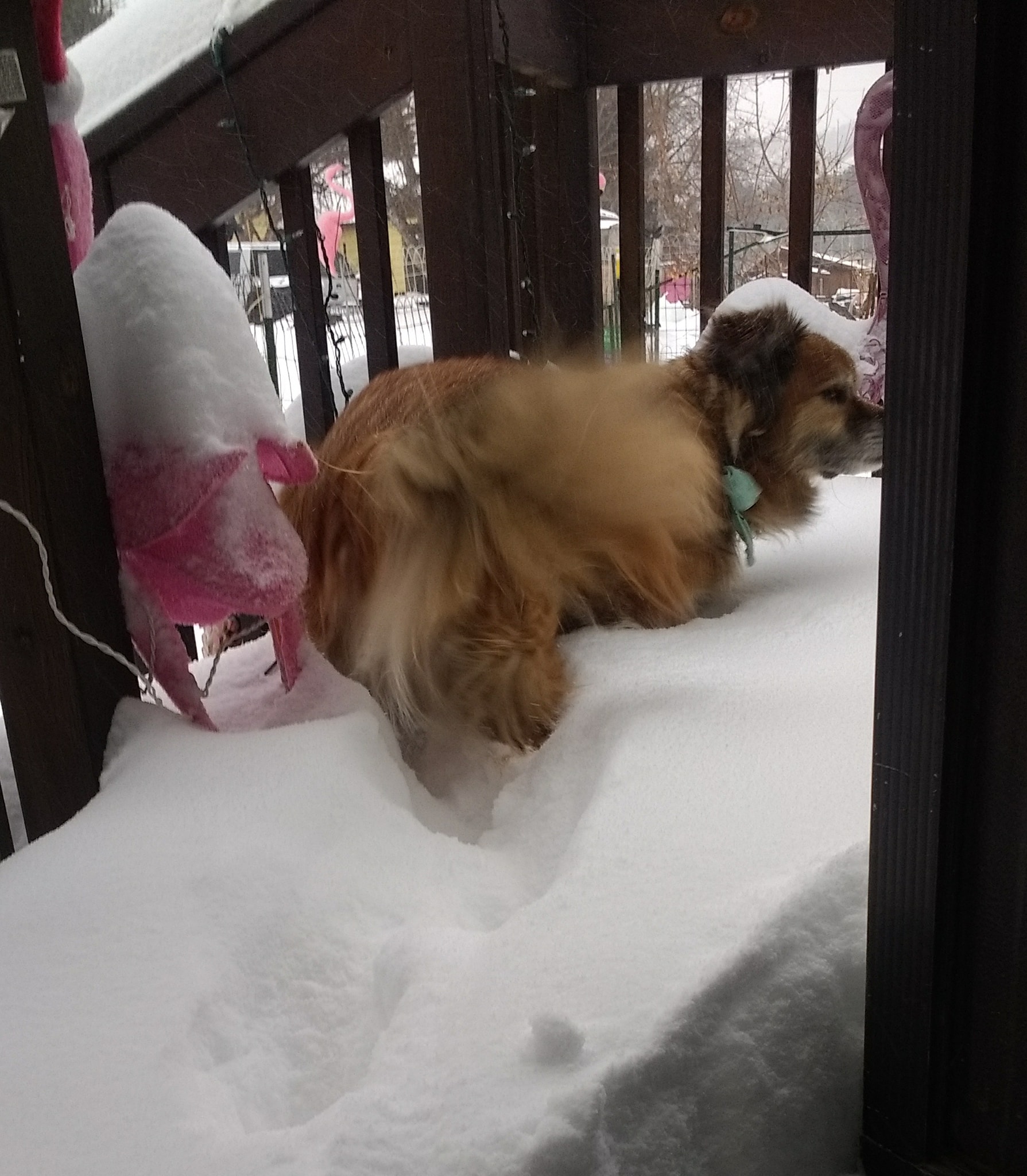
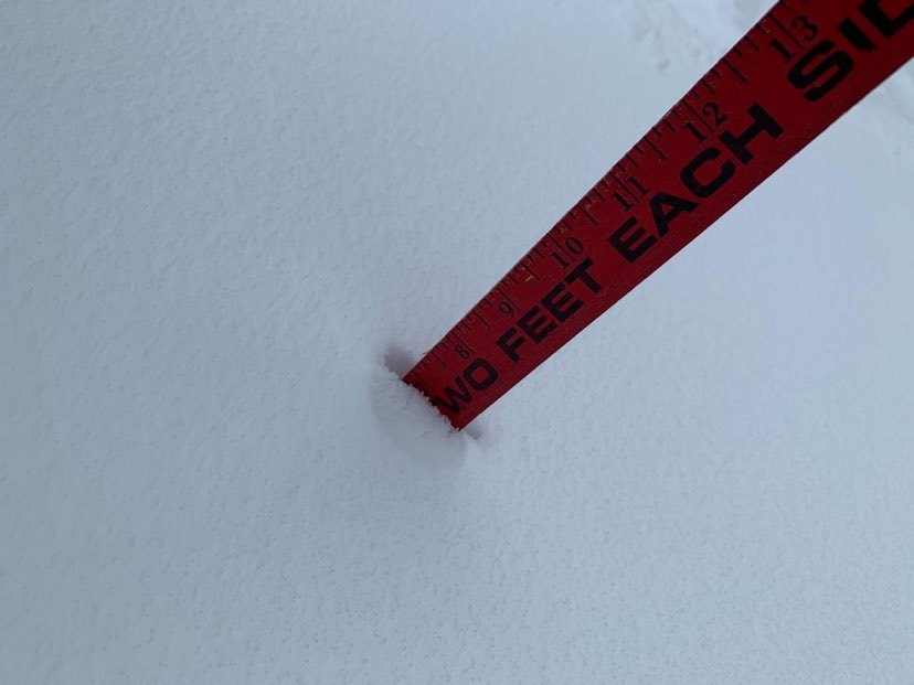
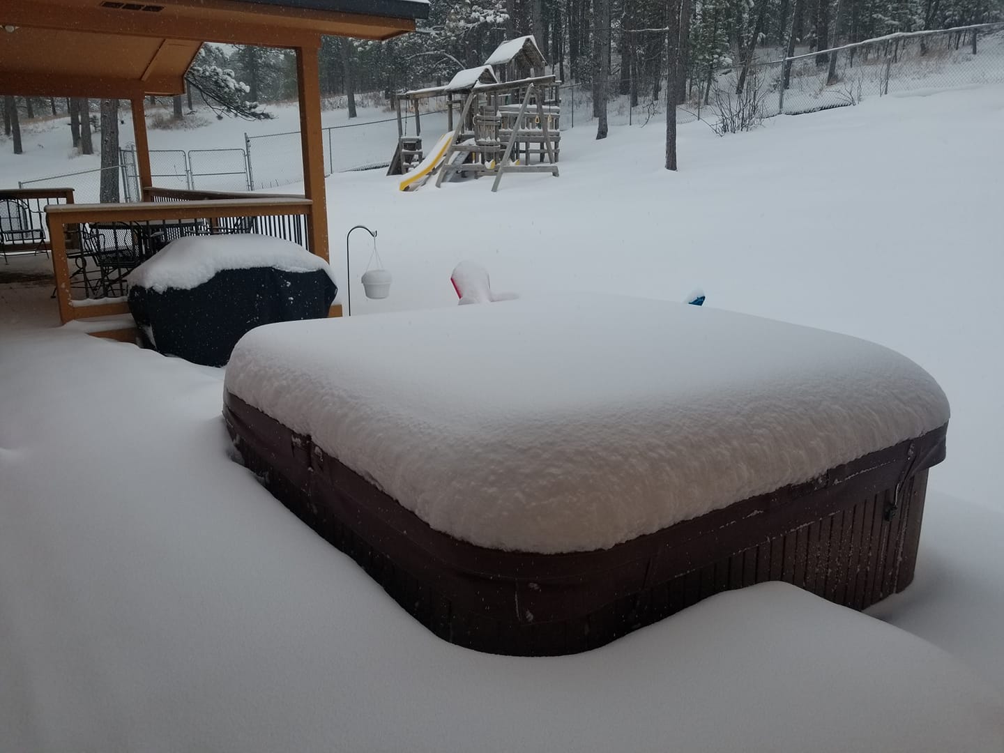
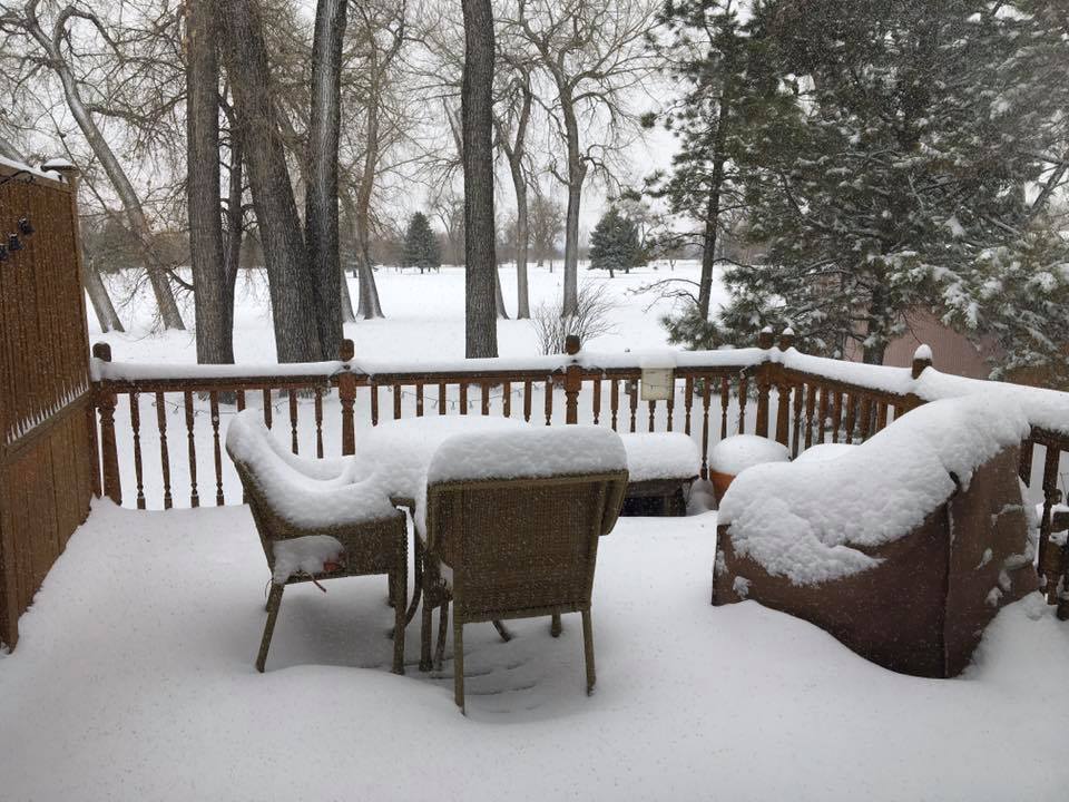
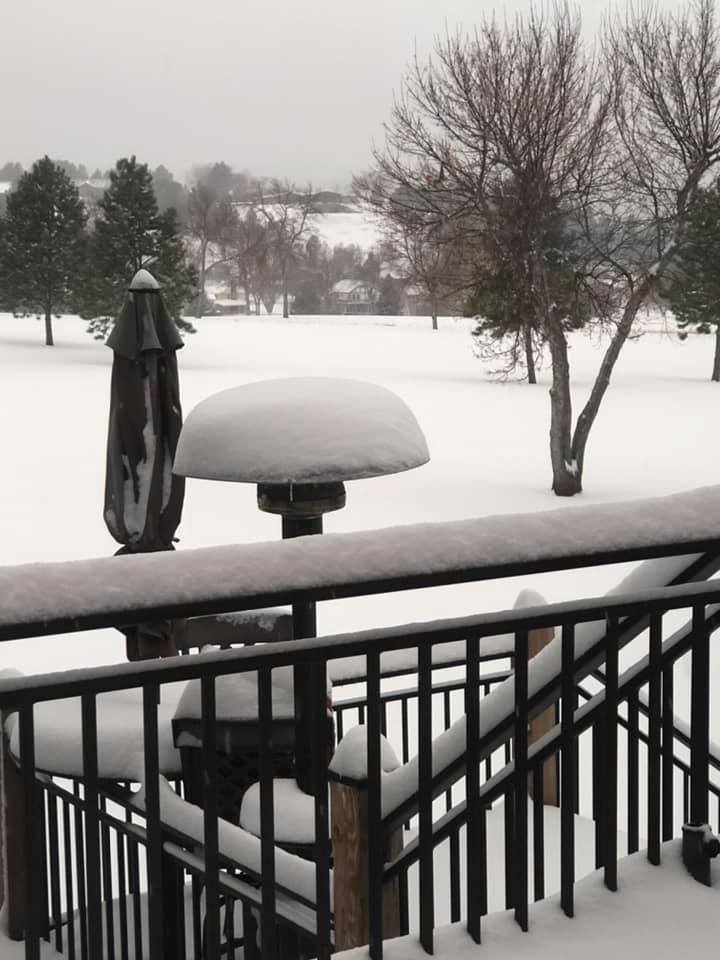
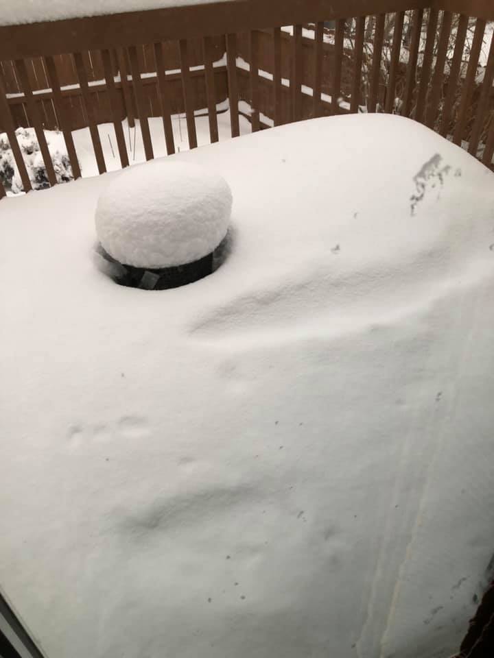
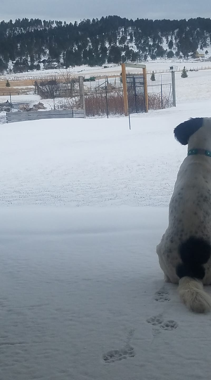
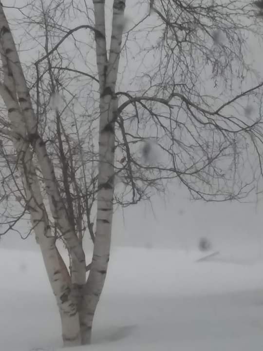
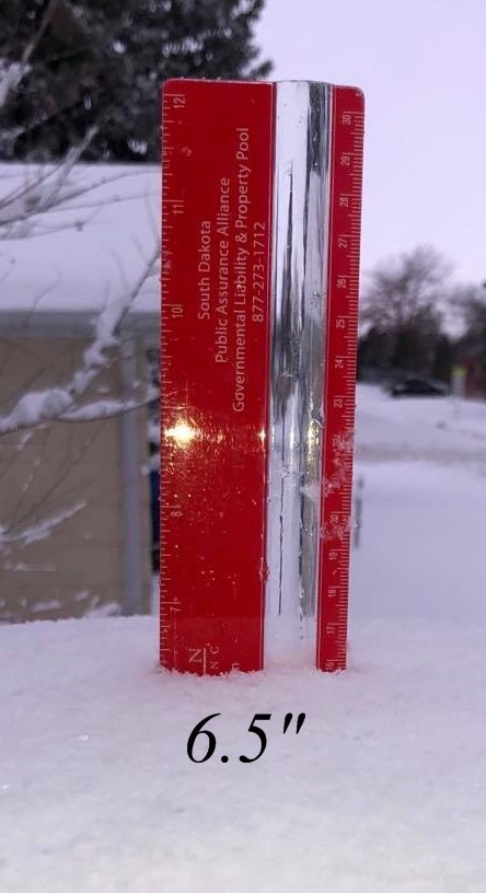
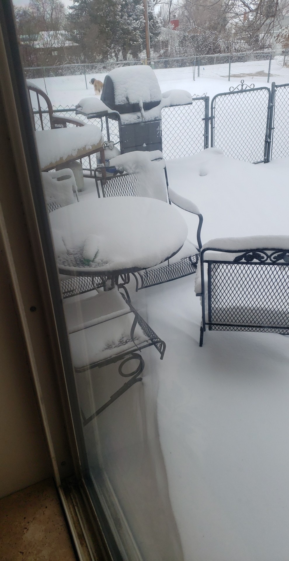
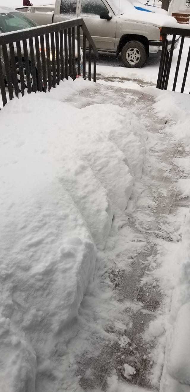
Photos
 |
 |
 |
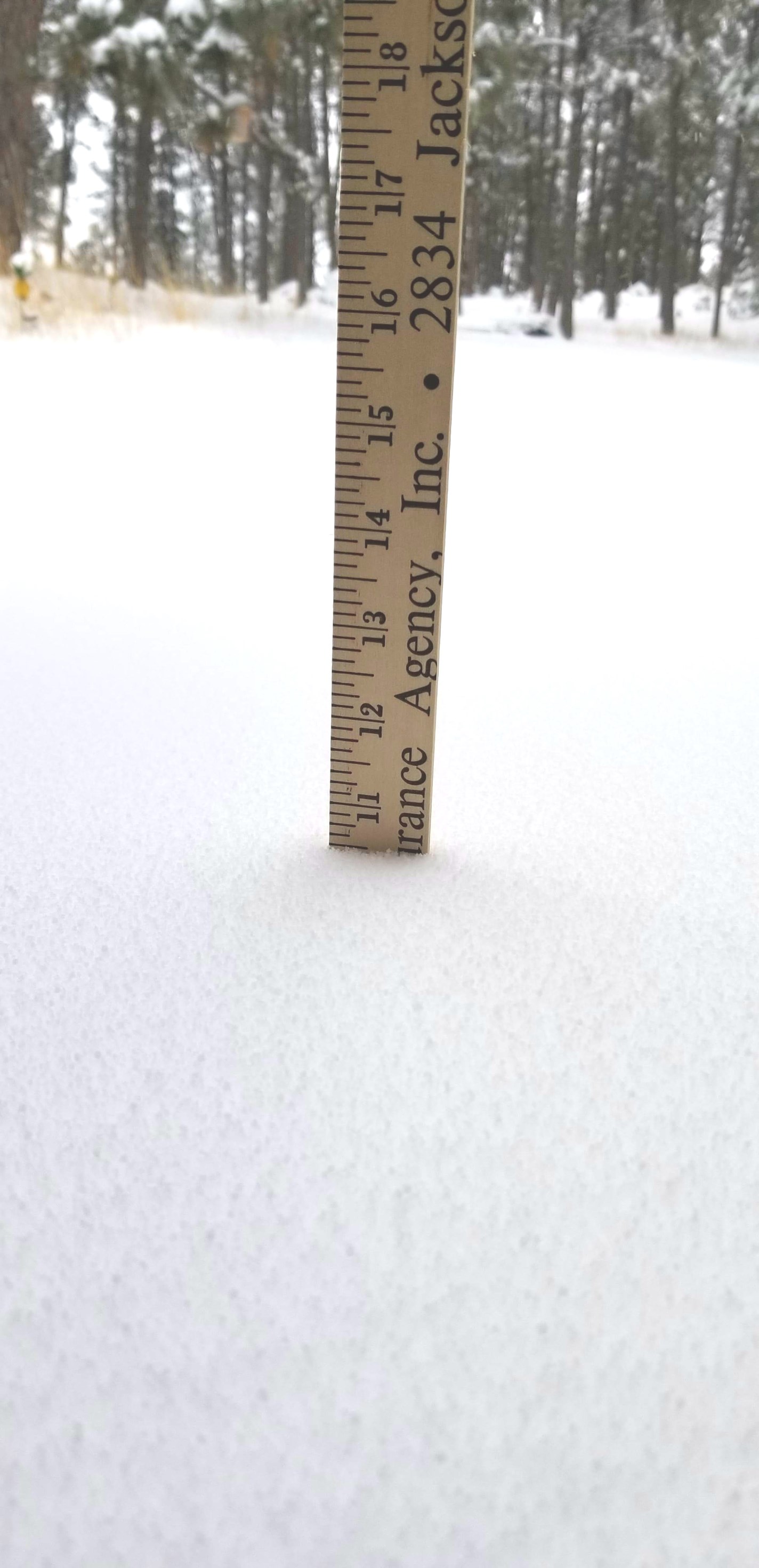 |
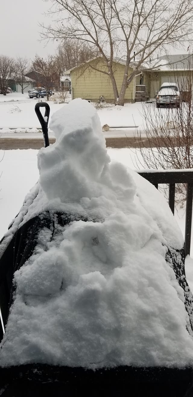
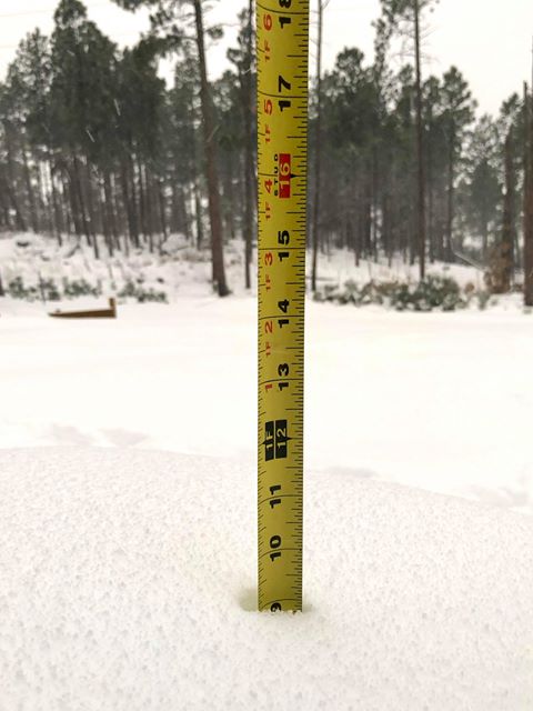
| Custer, SD (courtesy Andrea Kindvall) |
Custer Highlands, SD (courtesy Kamryn Berkowski) |
Custer, SD (courtesy Julie Johnson) |
Custer, SD (courtesy Meg Schwartz) |
 |
 |
 |
 |
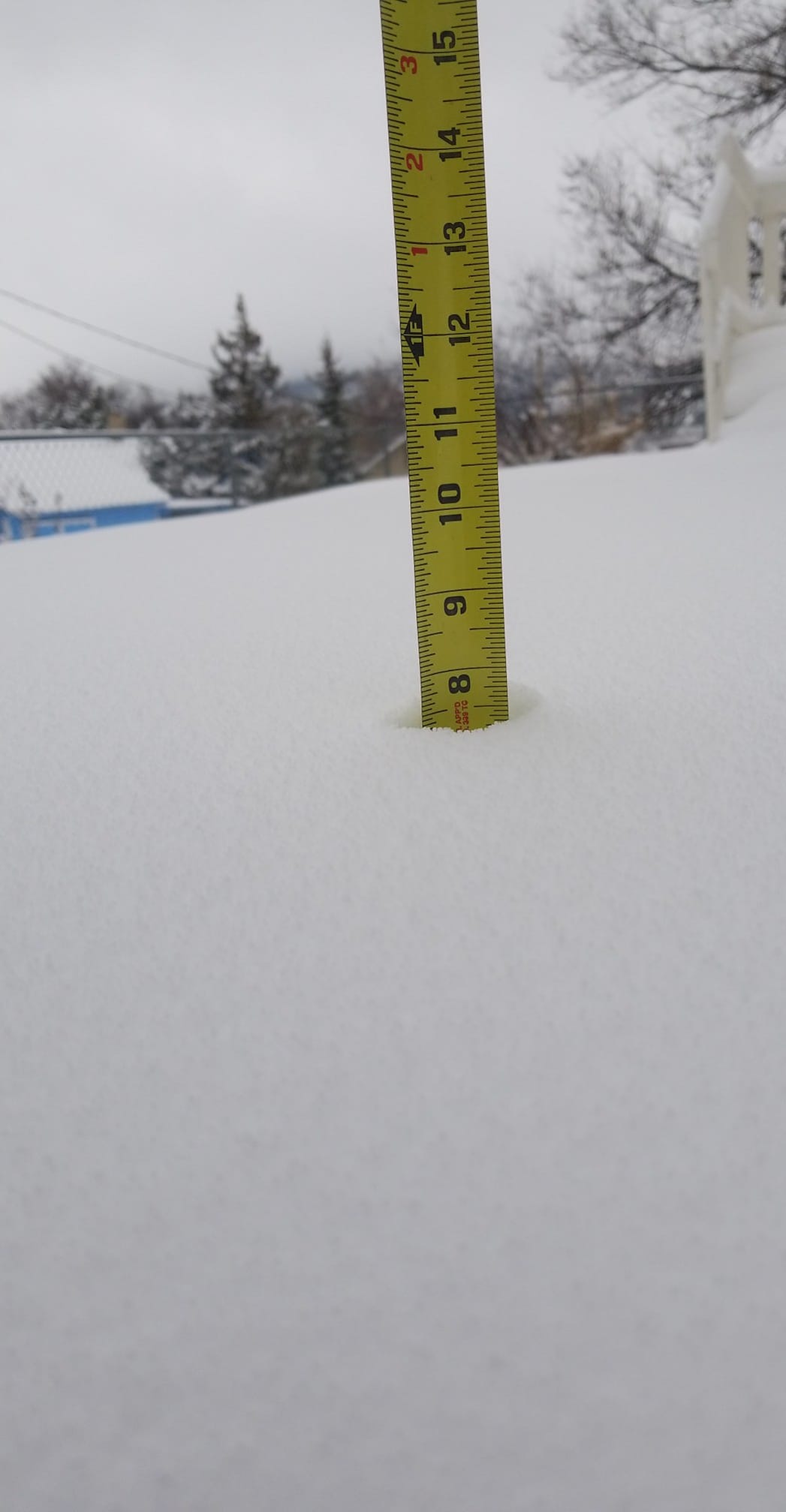
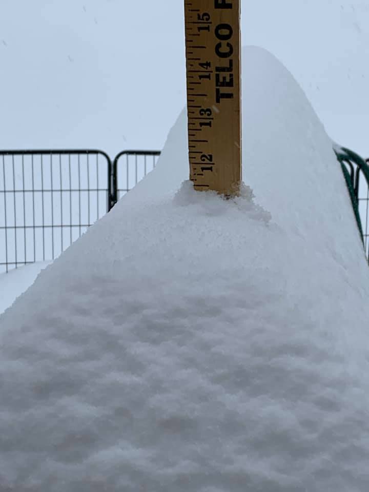
| Hot Springs, SD (courtesy Riley Lawson) |
Hot Springs, SD (courtesy Anna Gloria Bonde) |
near Hermosa, SD (courtesy Theresa Sellers-Ford) |
Rapid Valley, SD (courtesy Steve Beals) |
 |
 |
 |
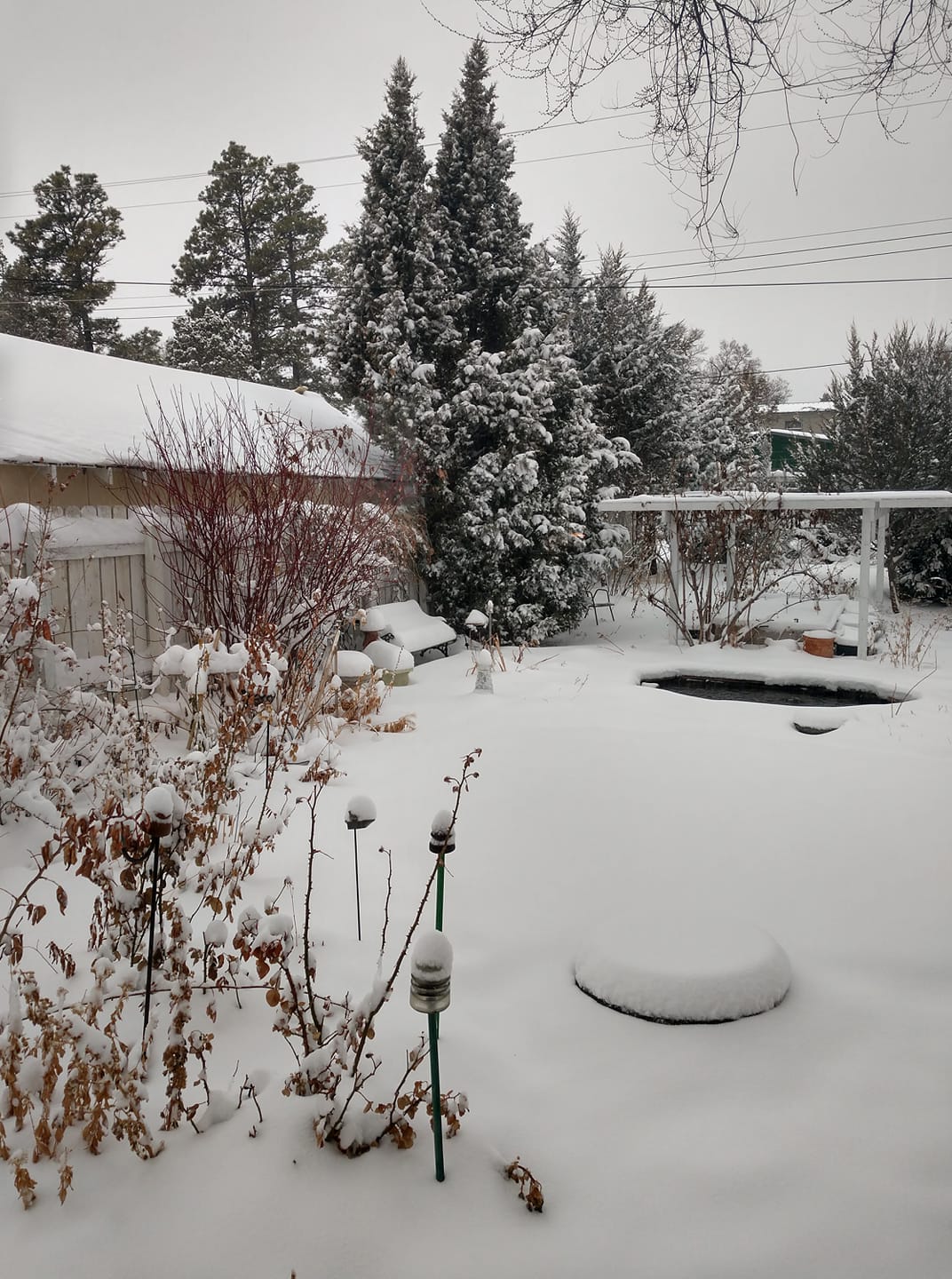
| Custer, SD (courtesy Carl Hansen) |
near Reptile Gardens (courtesy Annie Ruokay) |
Rapid Valley, SD (courtesy Scott Sumner) |
 |
 |
 |
| Rockerville, SD (courtesy Brook DeBoer) |
Rockerville, SD (courtesy Stacy Smith) |
Whispering Pines Area (courtesy Patty Kraft) |
 |
 |
 |
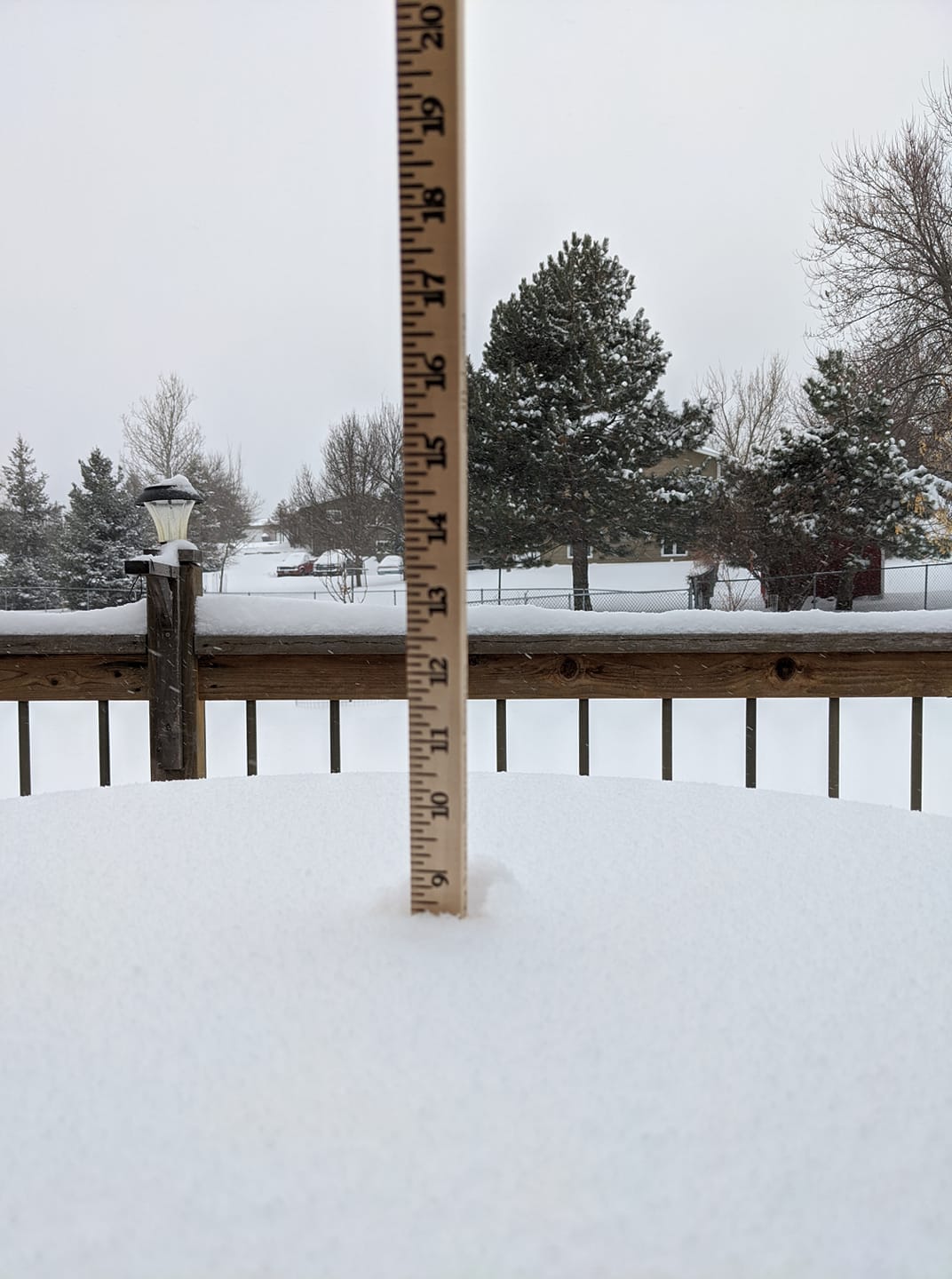
| south Rapid City, SD (courtesy Linda Roberts) |
west Rapid City, SD (courtesy Ami Scull Larson) |
west Rapid City, SD (courtesy Nicole Parker) |
 |
 |
 |
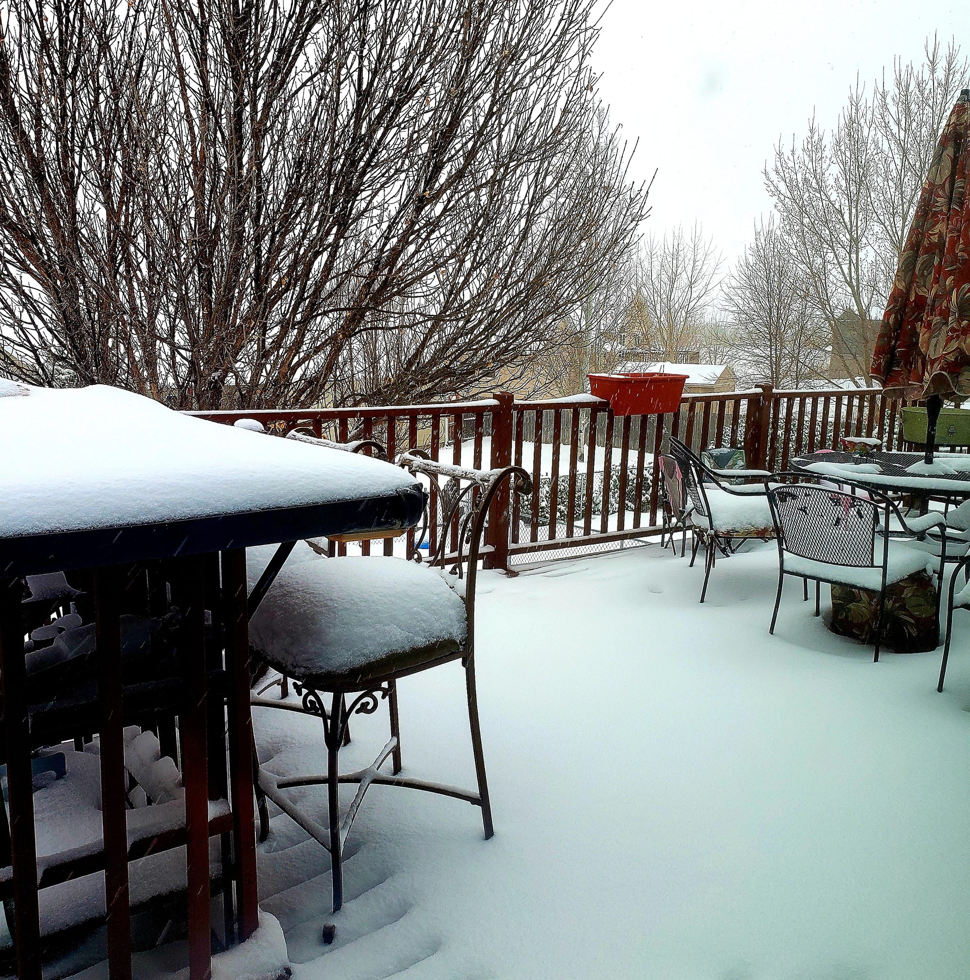
| Rapid City, SD (courtesy Crystal Ashley) |
Rapid City, SD (courtesy Kristyn Kime Harvey) |
|
 |
 |
 |
| Spearfish, SD (courtesy Eric Hanson) |
Sturgis, SD (courtesy Nancy Smidt) |
Lead, SD (courtesy Kay Aristide) |
 |
 |
 |
 |
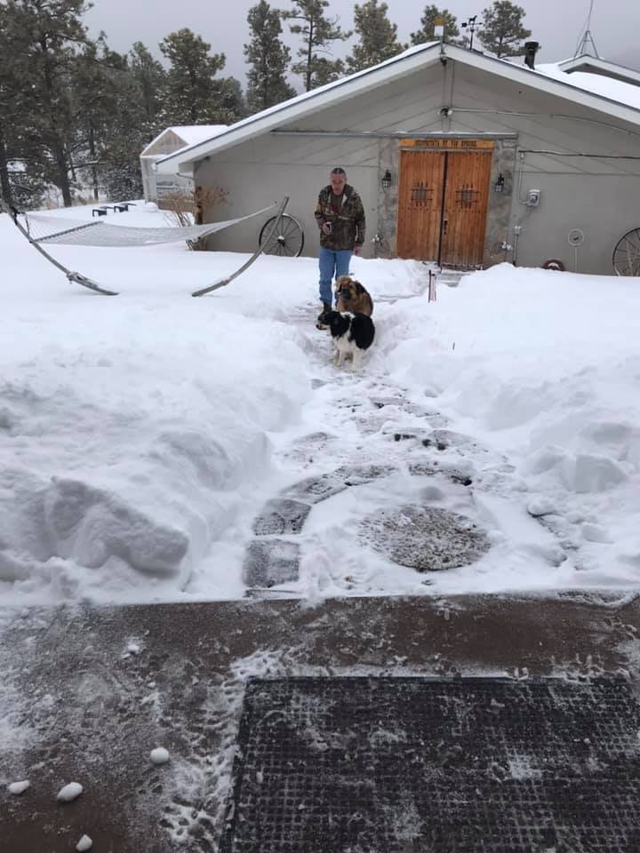
| Martin, SD (courtesy Marj Oleske Frew) |
Rapid Valley, SD (courtesy Nicki Sue Hudspeth) |
Rapid Valley, SD (courtesy Steve Beals) |
Sturgis, SD (courtesy Kristine Swackhammer) |
Radar
| Radar loop from Friday, March 13th through the morning of Saturday, March 14th |
 |
Media use of NWS Web News Stories is encouraged! Please acknowledge the NWS as the source of any news information accessed from this site. |
|

