
Tropical Depression Two is expected to gradually strengthen and could bring tropical storm conditions to the Florida Panhandle beginning late Monday. Areas of flash flooding will be possible through Thursday along the eastern and central Gulf Coast. Severe thunderstorms will develop and move along a cold front crossing the Upper Midwest Monday, and through the Ohio Valley/Mid-Atlantic on Tuesday. Read More >
Overview
|
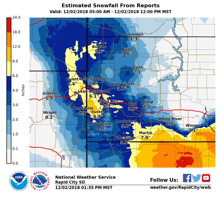
On December 1-2, 2018, moderate to heavy snow fell over portions of northeast Wyoming and western South Dakota. The heaviest snow fell in Colome, SD where 15" was estimated. A band of 8-12" fell over south central South Dakota near the Nebraska border. A pocket of 8-10" fell over the higher Black Hills. The precipitation started out as rain over south central South Dakota late on November 30 and then progressed westward and turned to snow. The snow ended Sunday morning December 2. Records Several new daily snowfall and precipitation records were set on December 1, 2018 for Downtown Rapid City and the Rapid City Airport. Downtown Rapid City
Rapid City Airport
|
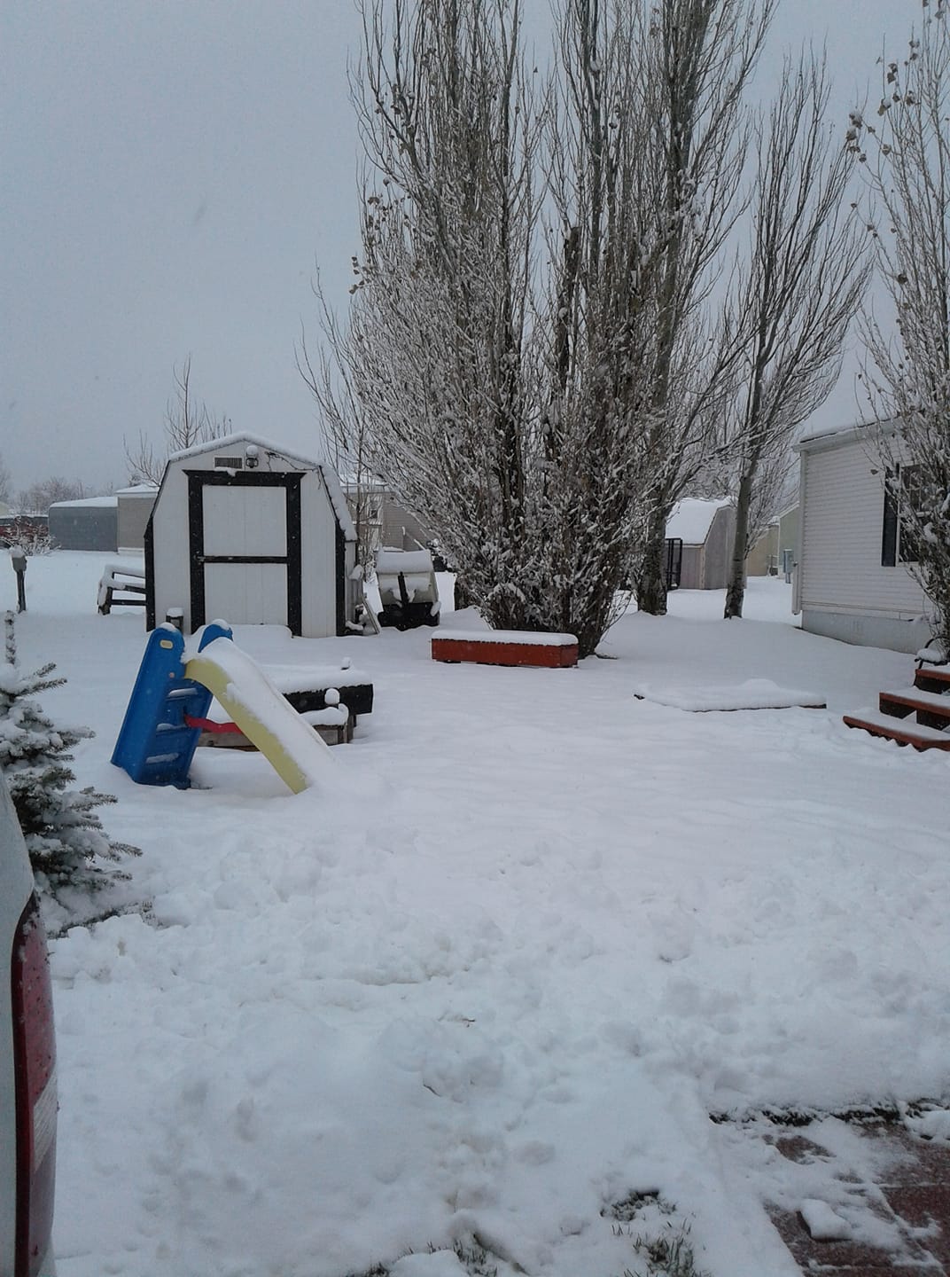
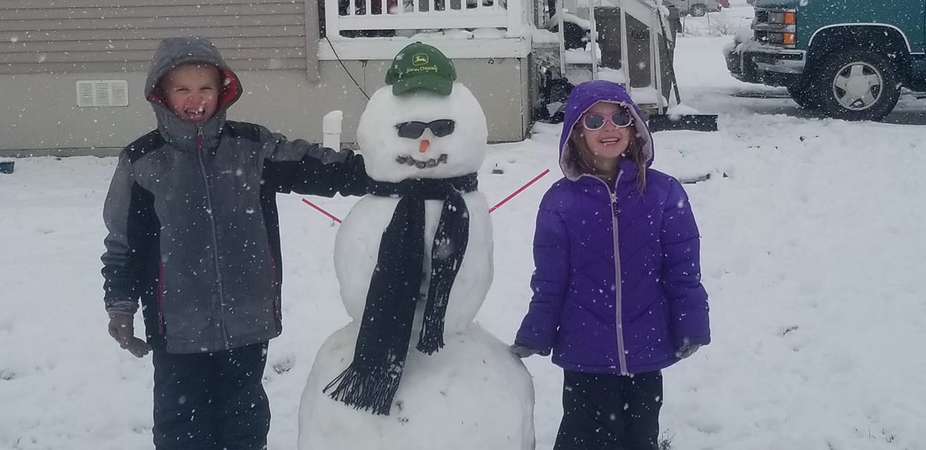 Box Elder, SD Courtesy Chevy F. |
Snow
Storm total snow reports listed by amount

 INCHES  LOCATION                 ST  COUNTY           TIME
 ------  -----------------------  --  --------------   -------
 15.00   COLOME                   SD  TRIPP            0921 AM
 11.50   16 SSE MISSION           SD  TODD             0700 AM
  9.50   4 SE DEERFIELD           SD  PENNINGTON       0600 AM
  8.00   2 NNW SAINT ONGE         SD  LAWRENCE         1253 PM
  8.00   2 SE TERRY PEAK          SD  LAWRENCE         1129 AM
  8.00   6 SW BEULAH              WY  CROOK            0800 AM
  8.00   7 E LAKEVIEW             SD  TODD             0700 AM
  8.00   9 ENE WEWELA             SD  TRIPP            0700 AM
  7.90   3 ESE CHEYENNE CROSSING  SD  LAWRENCE         0700 AM
  6.80   HILL CITY                SD  PENNINGTON       0700 AM
  6.70   4 NNE SUMMERSET          SD  MEADE            0700 AM
  6.70   1 E DOWNTOWN RAPID CITY  SD  PENNINGTON       0500 AM
  6.50   9 ESE DEVILS TOWER       WY  CROOK            1136 AM
  6.50   1 SSW RAPID VALLEY       SD  PENNINGTON       0827 AM
  6.50   8 NW VETAL               SD  BENNETT          0800 AM
  6.50   14 NNE MARTIN            SD  BENNETT          0700 AM
  6.40   RAPID CITY AIRPORT       SD  PENNINGTON       0500 AM
  6.00   LEAD                     SD  LAWRENCE         1024 AM
  6.00   2 ESE MISSION            SD  TODD             0938 AM
  6.00   5 E PORCUPINE            SD  OGLALA LAKOTA    0905 AM
  6.00   3 SSE HARDING            SD  HARDING          0800 AM
  6.00   2 SW NORRIS              SD  MELLETTE         0800 AM
  6.00   3 ENE KYLE               SD  OGLALA LAKOTA    0700 AM
  6.00   SUNDANCE                 WY  CROOK            0600 AM
  5.90   2 SSE DOWNTOWN RAPID CI  SD  PENNINGTON       0756 AM
  5.90   2 S DOWNTOWN RAPID CITY  SD  PENNINGTON       0700 AM
  5.60   1 ESE PACTOLA RESERVOIR  SD  PENNINGTON       0730 AM
  5.50   4 W DOWNTOWN RAPID CITY  SD  PENNINGTON       0700 AM
  5.40   6 W NEW UNDERWOOD        SD  PENNINGTON       0700 AM
  5.30   10 N OSAGE               WY  WESTON           1237 PM
  5.30   2 NE BOX ELDER           SD  PENNINGTON       0800 AM
  5.20   3 NE HISEGA              SD  PENNINGTON       0800 AM
  5.20   1 SSE DOWNTOWN SPEARFIS  SD  LAWRENCE         0800 AM
  5.20   5 NE ROCKERVILLE         SD  PENNINGTON       0700 AM
  5.20   3 SE SAINT ONGE          SD  LAWRENCE         0600 AM
  5.00   7 WSW FOLSOM             SD  CUSTER           0700 AM
  4.70   3 NNE JOHNSON SIDING     SD  PENNINGTON       0700 AM
  4.50   12 S QUINN               SD  PENNINGTON       0800 AM
  4.30   6 NNW DOWNTOWN SPEARFIS  SD  LAWRENCE         0700 AM
  4.00   DOWNTOWN HOT SPRINGS     SD  FALL RIVER       0700 AM
  4.00   2 W OPAL                 SD  MEADE            0700 AM
  4.00   DOWNTOWN HOT SPRINGS     SD  FALL RIVER       0700 AM
  4.00   1 NNE EDGEMONT           SD  FALL RIVER       0630 AM
  4.00   3 E DOWNTOWN NEWCASTLE   WY  WESTON           0600 AM
  3.70   11 NE MORRISEY           WY  WESTON           0700 AM
  3.50   1 NNW DOWNTOWN SPEARFIS  SD  LAWRENCE         0935 AM
  3.30   5 E ELM SPRINGS          SD  MEADE            0700 AM
  3.20   HERMOSA                  SD  CUSTER           0600 AM
  3.00   WINNER                   SD  TRIPP            1252 PM
  3.00   RED OWL                  SD  MEADE            0700 AM
  3.00   KADOKA                   SD  JACKSON          0700 AM
  3.00   1 S DOWNTOWN BELLE FOUR  SD  BUTTE            0700 AM
  3.00   ORAL                     SD  FALL RIVER       0700 AM
  2.80   7 N WOOD                 SD  MELLETTE         0700 AM
  2.80   7 NW CEDAR BUTTE         SD  MELLETTE         0700 AM
  2.60   3 WNW KADOKA             SD  JACKSON          0530 AM
  2.50   11 NNE WESTON            WY  CAMPBELL         0700 AM
  2.40   6 ENE NEWELL             SD  BUTTE            0700 AM
  2.40   EDGEMONT                 SD  FALL RIVER       0700 AM
  2.00   2 W IDEAL                SD  TRIPP            0925 AM
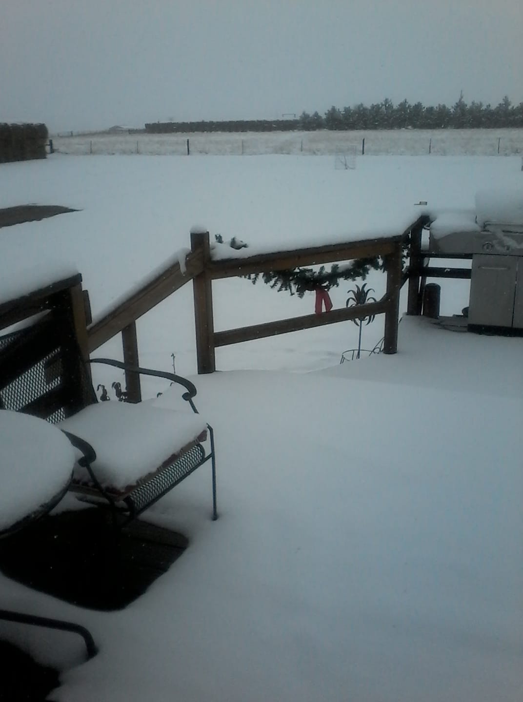
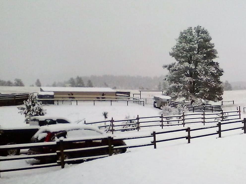
Photos:
 |
 |
 |
 |
| Belle Fourche, SD Courtesy Brian J. |
Devil's Tower, WY Courtesy Heike B. |
Keystone, SD Courtesy Ana C. |
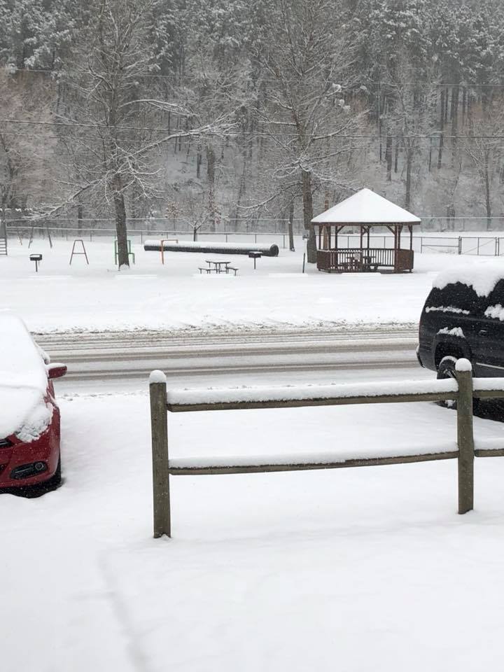
Rapid City, SD Courtesy Toni B. |
 |
 |
 |
|
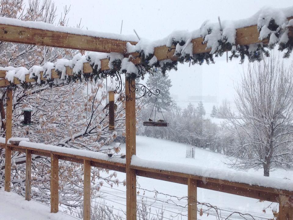
| Rapid City, SD Courtesy Katie F. |
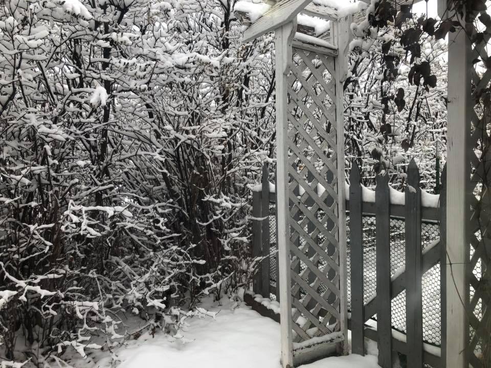
Spearfish, SD Courtesy Brady R. |
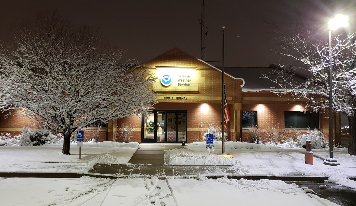
Rapid City, SD NWS Office |
 |
Media use of NWS Web News Stories is encouraged! Please acknowledge the NWS as the source of any news information accessed from this site. |
|

