Springfield, MO
Weather Forecast Office
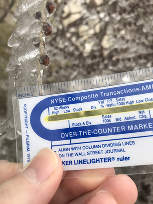
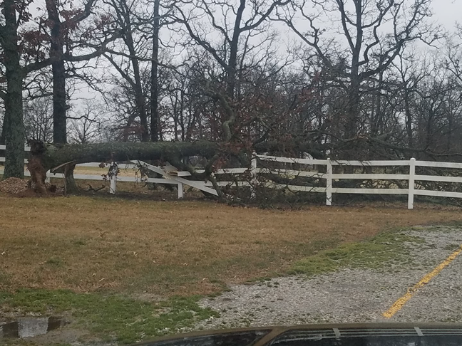
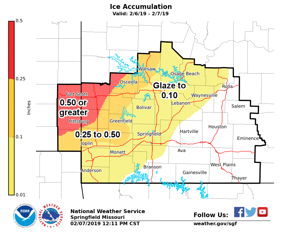
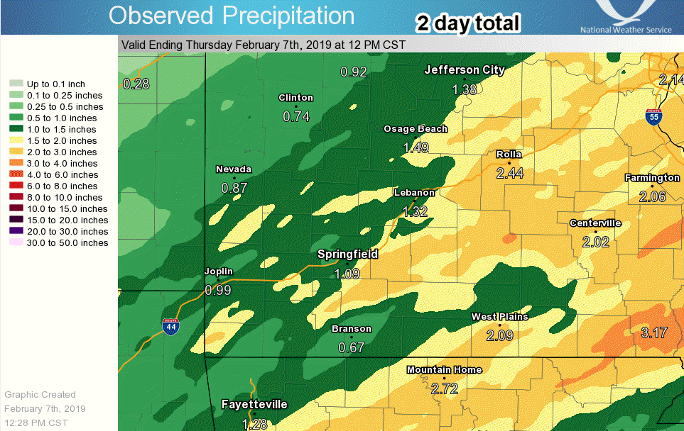
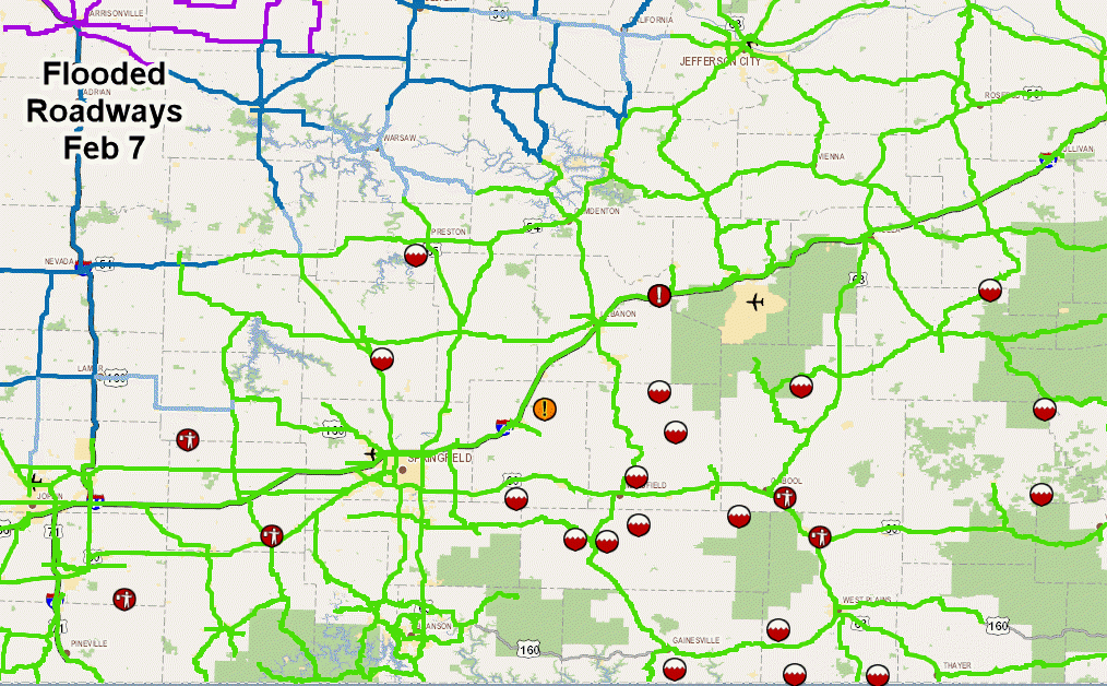
A slow moving frontal boundary was a dividing line between cold air with temperatures below freezing over west central Missouri into southeast Kansas and temperatures in the 50s over south central Missouri. Several rounds of thunderstorms and heavy rain occurred over the course of 2 days from the 5th into the morning of the 7th of February. Significant icing occurred over parts of central and west central Missouri and into southeast Kansas and parts of far southwest Missouri. The heaviest freezing rain occurred during the evening and night of February 6th. Thunderstorms which moved over the area also produced sleet on top of the freezing rain. Over a half inch of ice occurred in western sections of the area. Within the more moist and unstable air further east and south, severe weather occurred, with damaging wind and hail. Some tornado warnings were issued based on mesos forming within the lines of thunderstorms. The several rounds of heavy rainfall over the 2 day period caused some flooding to occur across the area. As the front eventually shifted east on the morning of the 7th, the heavier rain shifted east and colder air moved in changing precipitation to light freezing drizzle and snow showers.

Current Hazards
Experimental Graphical Hazardous Weather Outlook
Submit a storm report
Local Storm Reports
Current Conditions
Observations
Lake Levels
Snowfall Analysis
Road Conditions
Satellite
CoCoRaHS
Graphical Conditions
Precip. Analysis
Forecasts
Forecast Discussion
Fire Weather
Aviation
GIS Forecast Maps
Activity Planner
Severe Weather
Winter Weather
Hurricanes
FAA Center Weather
Space Weather
Climatology
Records and Normals
Monthly Climate Summary
Local
National
Drought
Climate Science
Astronomical Data
US Dept of Commerce
National Oceanic and Atmospheric Administration
National Weather Service
Springfield, MO
Springfield-Branson National Airport
5805 West Highway EE
Springfield, MO 65802-8430
Business: 417-863-8028 Recording: 417-869-4491
Comments? Questions? Please Contact Us.


 Weather Story
 Weather Map
 Local Radar