Springfield, MO
Weather Forecast Office
 |
Severe Weather June 7th, 2014National Weather Service, Springfield, MO |
 |
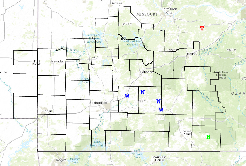
Two rounds of severe thunderstorms developed across the area today. The first occurred this morning as remnants from a thunderstorm complex intensified east of highway 65 in the Missouri Ozarks. There were reports of 60 mph winds with this feature as it quickly pushed east across the remainder of the Missouri Ozarks.
This first system pushed an outflow boundary into far southern Missouri. Additional afternoon thunderstorms the reformed along this boundary over south central Missouri. These thunderstorms produced large hail as they pushed east along the Missouri Arkansas border.


Current Hazards
Experimental Graphical Hazardous Weather Outlook
Submit a storm report
Local Storm Reports
Current Conditions
Observations
Lake Levels
Snowfall Analysis
Road Conditions
Satellite
CoCoRaHS
Graphical Conditions
Precip. Analysis
Forecasts
Forecast Discussion
Fire Weather
Aviation
GIS Forecast Maps
Activity Planner
Severe Weather
Winter Weather
Hurricanes
FAA Center Weather
Space Weather
Climatology
Records and Normals
Monthly Climate Summary
Local
National
Drought
Climate Science
Astronomical Data
US Dept of Commerce
National Oceanic and Atmospheric Administration
National Weather Service
Springfield, MO
Springfield-Branson National Airport
5805 West Highway EE
Springfield, MO 65802-8430
Business: 417-863-8028 Recording: 417-869-4491
Comments? Questions? Please Contact Us.


 Weather Story
 Weather Map
 Local Radar