Springfield, MO
Weather Forecast Office
 |
Severe Storms - June 27th-28th, 2013National Weather Service, Springfield, MO |
 |
A complex of thunderstorms that developed near the Topeka, Kansas and Kansas City metropolitan areas during the evening of June 27th produced widespread wind damage across southeastern Kansas and the Missouri Ozarks late in the evening of the 27th through the overnight hours into early on June 28th. Numerous reports were received of winds between 60 and 80 MPH.
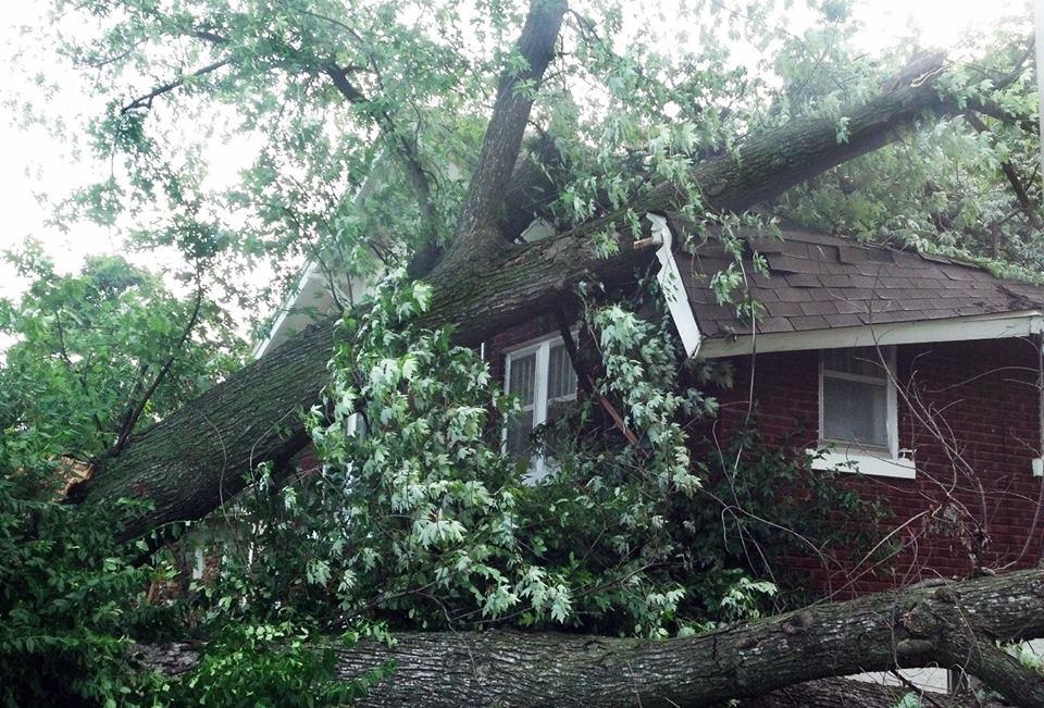
Tim Ellis in Springfield took this picture near National and Meadowmere. Forwarded by Chris Smith - KOLR10

Josh Kashirsky provided these pictures of an uprooted tree and a split tree in Republic.


Current Hazards
Experimental Graphical Hazardous Weather Outlook
Submit a storm report
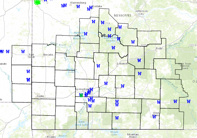
Local Storm Reports
Current Conditions
Observations
Lake Levels
Snowfall Analysis
Road Conditions
Satellite
CoCoRaHS
Graphical Conditions
Precip. Analysis
Forecasts
Forecast Discussion
Fire Weather
Aviation
GIS Forecast Maps
Activity Planner
Severe Weather
Winter Weather
Hurricanes
FAA Center Weather
Space Weather
Climatology
Records and Normals
Monthly Climate Summary
Local
National
Drought
Climate Science
Astronomical Data
US Dept of Commerce
National Oceanic and Atmospheric Administration
National Weather Service
Springfield, MO
Springfield-Branson National Airport
5805 West Highway EE
Springfield, MO 65802-8430
Business: 417-863-8028 Recording: 417-869-4491
Comments? Questions? Please Contact Us.


 Weather Story
 Weather Map
 Local Radar