Overview
A strong Spring like upper level and slightly negative tilted trough moved across the Ozarks region Sunday evening. The atmospheric environment was highly sheared with low instability. There was a marginal risk of strong to severe storms. There was a couple reports of wind damage and one confirmed EF-1 tornado south of Mount Vernon.Tornadoes:
|
Tornado - 2 SE Hoberg
Track Map 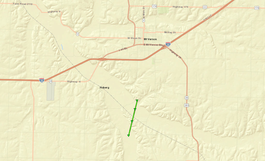 
Downloadable KMZ File |
||||||||||||||||
The Enhanced Fujita (EF) Scale classifies tornadoes into the following categories:
| EF0 Weak 65-85 mph |
EF1 Moderate 86-110 mph |
EF2 Significant 111-135 mph |
EF3 Severe 136-165 mph |
EF4 Extreme 166-200 mph |
EF5 Catastrophic 200+ mph |
 |
|||||
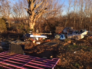
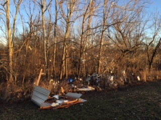
Photos & Video:
Header
 |
 |
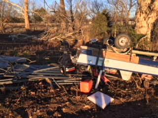 |
| Damage along Lawrence County Road 1130 | Damage along Lawrence County Road 1130 | Damage along Lawrence County Road 1130 |
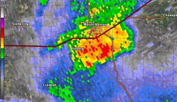
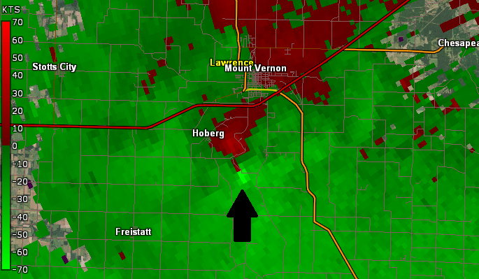
Radar:
Header
 |
 |
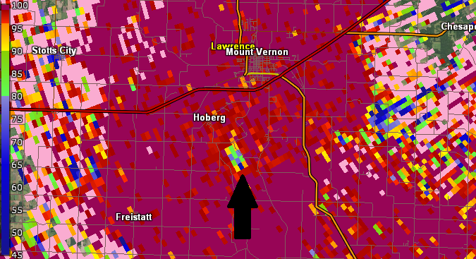 |
| Radar Image at 8:04 PM CST | Velocity Couplet on Radar at 8:04 CST | Confirmed Debris Signature on Radar |
 |
Media use of NWS Web News Stories is encouraged! Please acknowledge the NWS as the source of any news information accessed from this site. |
|


 Weather Story
 Weather Map
 Local Radar