
Record setting heat is expected over the next several days from the Intermountain West through the northern Plains. Furthermore, fire weather concerns increase with dry and breezy conditions. Meanwhile, heavy rainfall and severe thunderstorm threats for the Ohio/Tennessee Valleys, central Appalachians and Southeast today. The threat shifts to central Gulf Coast and across central Texas this week. Read More >
Last Map Update: Sun, Jul 19, 2026 at 7:38:32 pm PDT
|
Text Product Selector (Selected product opens in current window)
|
|


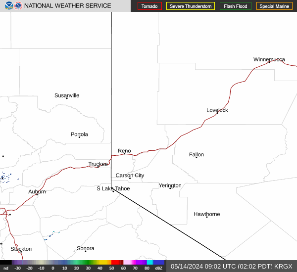 Radar
Radar Satellite
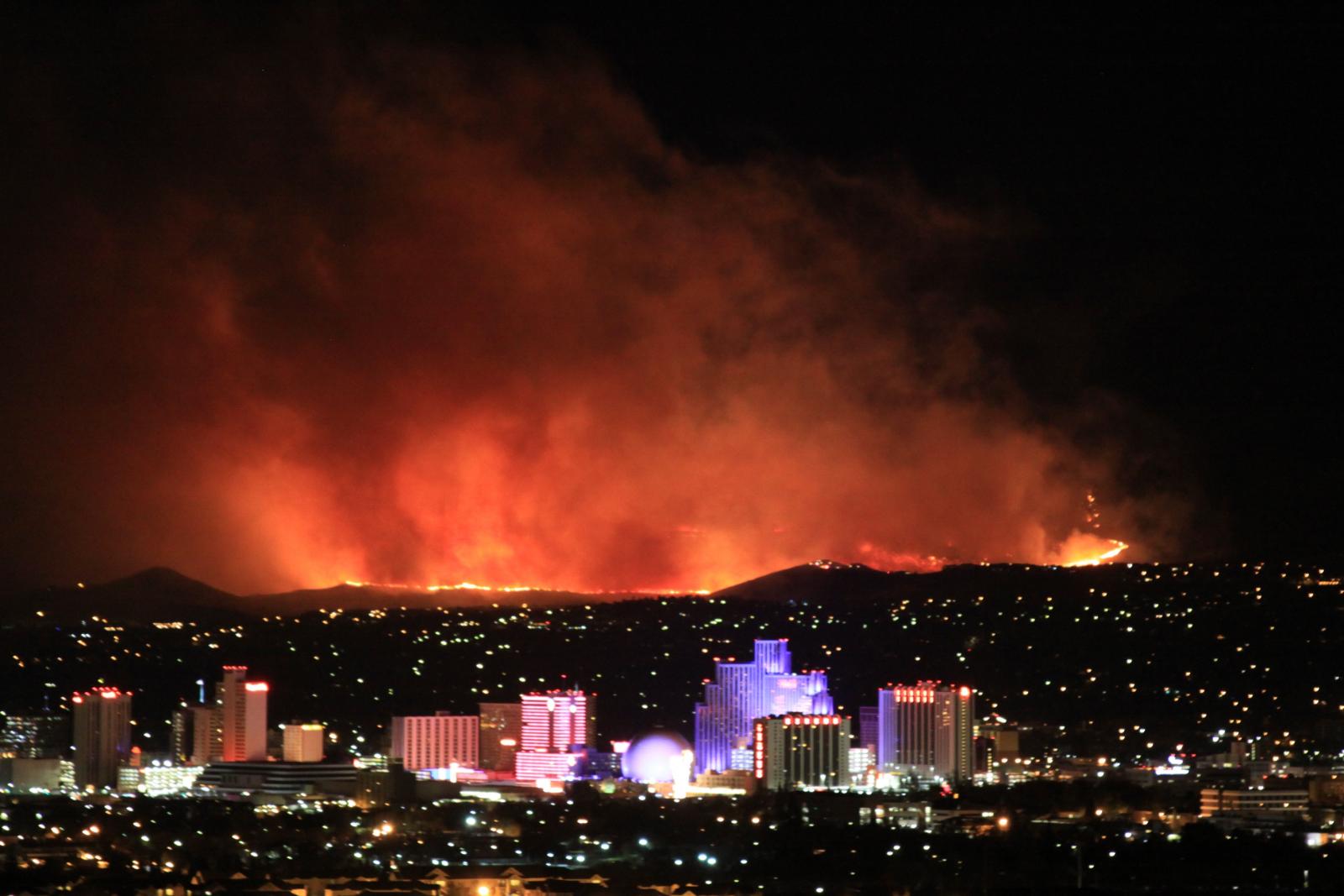 Fire Weather
 Lake Forecasts
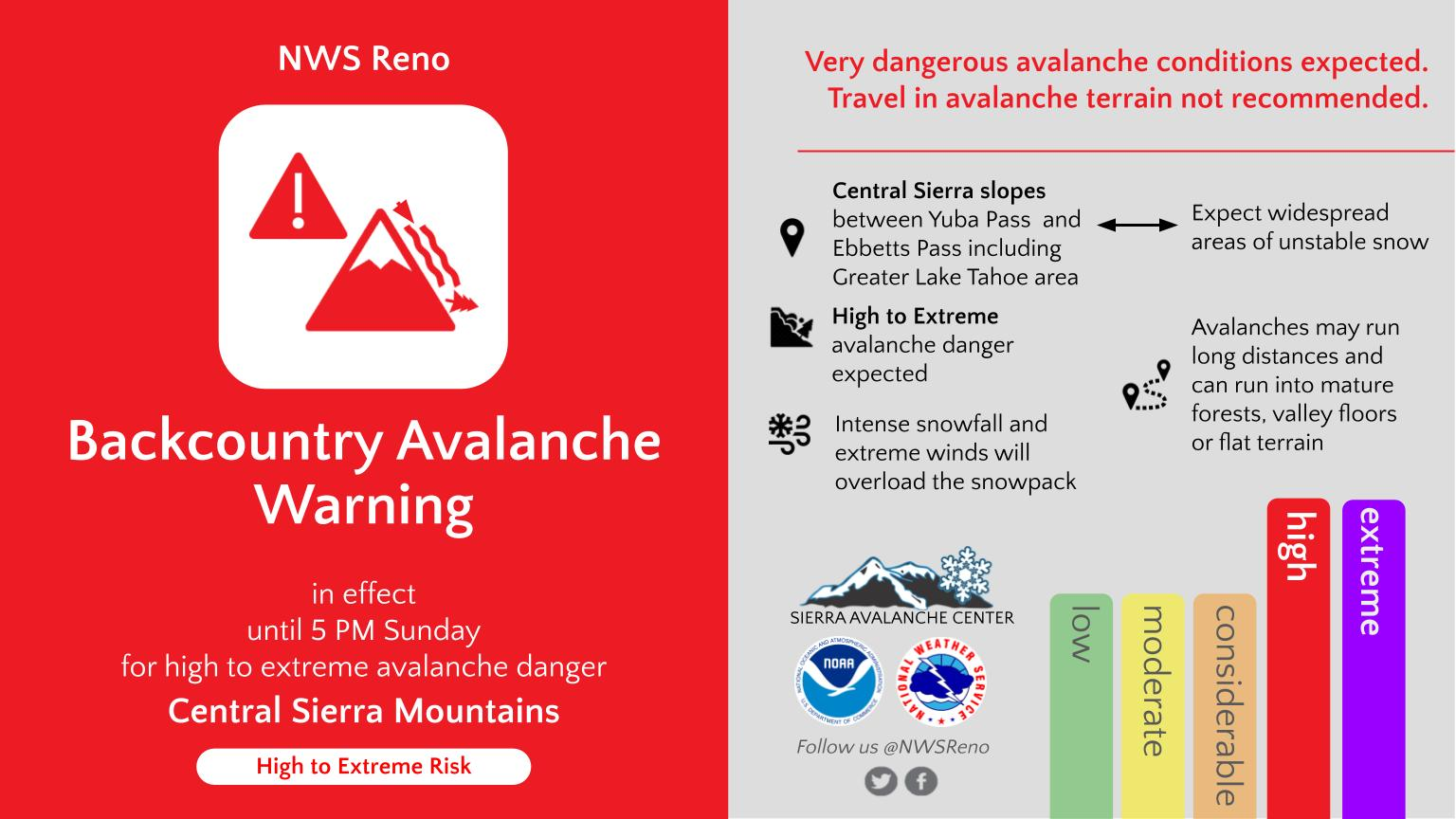
 Snow & Avalanche
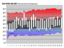 Weather Stats
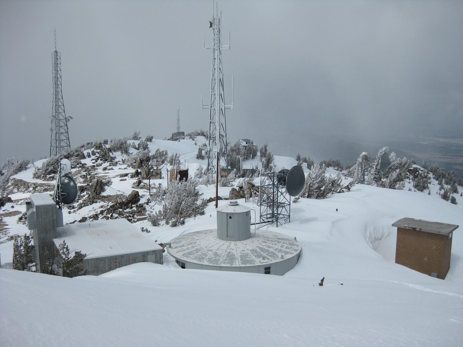 Mountain Observations & Remote Data
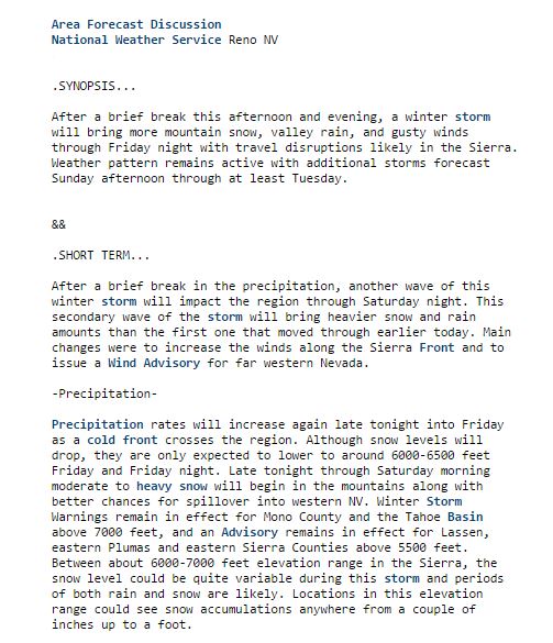 Forecast Discussion
 Graphical Forecasts
 Forecast Weather Table