
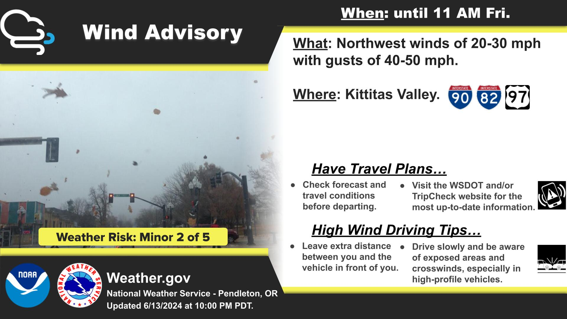
Heat expands across the Desert Southwest, Plains, Mississippi Valley and Midwest into Monday. Fire weather concerns continue for portions of the Intermountain West. Active monsoonal moisture fuels thunderstorms over the Southwest with possible flash flooding. Tropical cyclone Fausto in the Pacific, should weaken as it approaches Hawaii; Dangerous surf, swells and rip currents are expected. Read More >
Last Map Update: Sat, Aug 1, 2026 at 9:20:16 pm PDT

|
Text Product Selector (Selected product opens in current window)
|
|


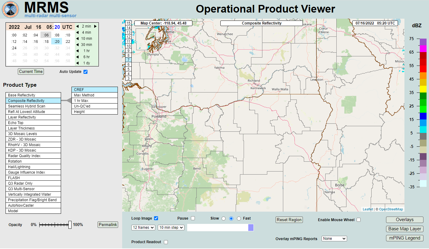 MRMS Radar Imagery
 Radar
Radar Satellite
 Graphical Forecasts
 Forecast Discussion
 Current Weather
 Climate
 Recent Weather
 Hour by Hour Forecast
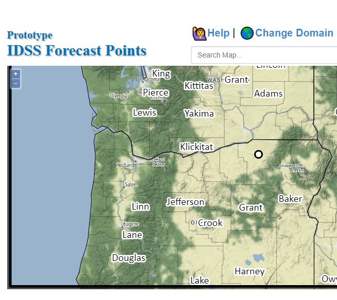 Alternate Point Forecast
 Forecast Maps
 Fire Weather
 Precipitation Amount Potential
 Rivers & Lakes
 Drought
 Air Quality
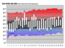 Weather Stats