
Heat expands across the Desert Southwest, Plains, Mississippi Valley and Midwest into Monday. Fire weather concerns continue for portions of the Intermountain West. Active monsoonal moisture fuels thunderstorms over the Southwest with possible flash flooding. Tropical cyclone Fausto in the Pacific, should weaken as it approaches Hawaii; Dangerous surf, swells and rip currents are expected. Read More >
The National Weather Service (NWS) Cooperative Observer Program (COOP) is truly the Nation's weather and climate observing network of, by and for the people. More than 11,000 volunteers take observations on farms, in urban and suburban areas, National Parks, seashores, and mountaintops. The data are truly representative of where people live, work and play.
Volunteer weather observers conscientiously contribute their time so that observations can provide the vital information needed. These data are invaluable in learning more about the floods, droughts, heat and cold waves affecting us all. The data are also used in agricultural planning and assessment, engineering, environmental-impact assessment, utilities planning, and litigation. COOP data plays a critical role in efforts to recognize and evaluate the extent of human impacts on climate from local to global scales.
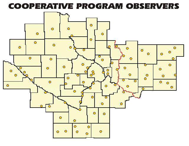
Each dot on this map represents the location of a COOP Observer in the Twin Cities/Chanhassen, MN County Warning Area (CWA). Click on the map to display a full resolution version.
Rainfall Observers are also needed across Minnesota and Wisconsin. If you are interested, please see the web site for the Community Collaborative Rain, Hail and Snow Network (CoCoRaHS).
Submit a Daily Weather Report Through WxCoder
National Cooperative Observer Web Page
Instructional Materials for Coop Observers
Weather Instruments Used by the Coop Observers

