Overview
|
Sunshine and nice weather changed quickly to scattered storms with hail and wind during the afternoon on June 19th, 2026. Many places in east-central Minnesota and western Wisconsin saw large amounts of hail fall as the initial storms moves through the area, covering the ground completely at times. The second round of storms followed about 30 to 60 minutes behind and produced scattered wind damage to trees and a few power lines. The very southern portion of Eau Claire County saw a highly visible funnel cloud near Osseo, which briefly touched down on the west side of town near the Merchants Baseball Field off US Highway 10. This tornado falls within NWS La Crosse's forecast jurisdiction, and more detail on the tornado can be found here. |
.gif) KMPX Radar Reflectivity from 12pm through 9pm on June 19th, overlayed with storm reports of hail and wind damage. |
Severe Storms
Scattered storms develop Friday afternoon across central Minnesota and move southeast towards the the Twin Cities metro and western Wisconsin. Many of the initial storms produced large hail or 1" in diameter, before a second round of rain brought strong winds in behind them.
Hail
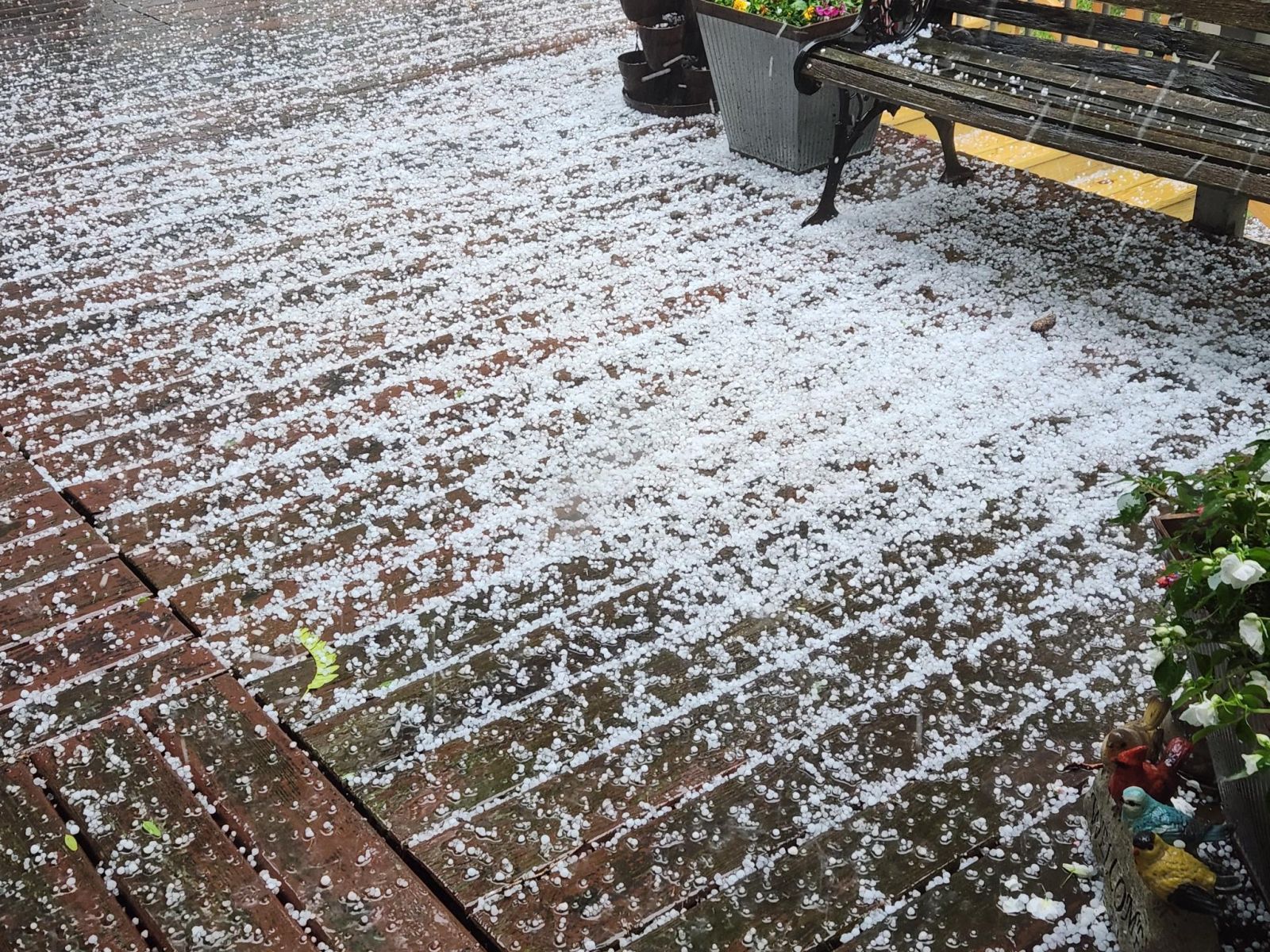
There were three main concentrations of large hail; a long track supercell dropped hail all the way from northern Morrison County, MN southeast into Polk County, WI. The largest hail size was 1" with that storm. Another storm developed over eastern Wright County, MN and dropped large amounts of hail all the way from Hanover, MN towards Ellsworth, WI. This storm cut through the Twin Cities metro and hit areas along the I-94 to 694 loop hard, producing 2"+ hail in northern St Paul, MN. Some areas saw hail fall for over 10 minutes straight. Lastly, there was a storm in Eau Claire County, WI that produced hail up to ping pong size (1.5").
 |
 |
 |
 |
| Hail roughly as large as the size of a quarter near Onamia, MN. Courtesy of Todd N. | The hail was so heavy at times that it began to accumulate and completely cover the ground. This photo is from Hanover, MN and is courtesy of Craig B. | The largest hail of the day fell in northern St Paul, with several stones being measured over 2" in diameter. Courtesy of KSTP. | Half dollar sized hail from Woodbury, MN. Courtesy of John W. |
Wind
The majority of wind damage occurred across east-central Minnesota as a secondary line of storms moved in after the hail finished. The gusty winds were brief, but resulted in several downed trees and a few power outages.
 |
 |
| Uprooted pine tree near Elk River. Courtesy of Paul S. | Large tree downed near South Haven, MN. Image courtesy of Gavin B. |
Storm Reports
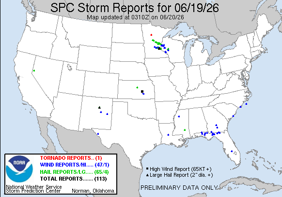
| June 19th |
| Preliminary National Storm Reports |
| Interactive Map of Preliminary Storm Reports |
 |
Media use of NWS Web News Stories is encouraged! Please acknowledge the NWS as the source of any news information accessed from this site. |
|


 Follow us on X
 Follow us on Facebook
 Follow us on YouTube
 MPX RSS Feed