Milwaukee/Sullivan, WI
Weather Forecast Office
...Light Snow May Cause Slippery Stretches on Roads This Morning...
Light snow and cold temperatures could lead to slick conditions on roads and sidewalks. If you have travel plans this morning, allow extra time to reach your destination.
Click here for more information on the bitter cold wind chills tonight into Wednesday morning.

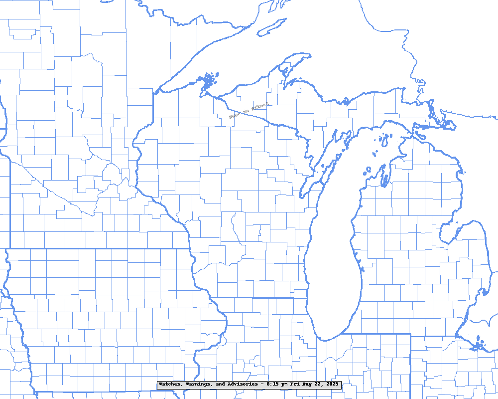
Here are the Watches/Warnings/Advisories in effect across the region:
Regional Radar Imagery:
 |
 |
Local Radar Imagery:
Road Conditions:
 |
More information here:
Forecast Discussion
Watches/Warning/Advisory Text
Local Storm Report Text
Hazardous Weather Outlook
Hourly Weather roundup
NWS Milwaukee/Sullivan, WI
Cronce/Wood
Hazards
National Briefing
Hazardous Weather Outlook
Skywarn
View Local Storm Reports
Submit A Storm Report
Winter Weather
Summer Weather
Beach Hazards
Local Forecasts
Marine
Aviation
Fire
Local Text Products
Local Precip Forecast
Hourly Forecast Graphics
Forecast Discussion
Climate
Lightning Plot Archive
Daily Climate Graphics
Local Climate Products
Normals/Records MKE/MSN
CoCoRaHS
Historic Events For Srn WI
US Dept of Commerce
National Oceanic and Atmospheric Administration
National Weather Service
Milwaukee/Sullivan, WI
N3533 Hardscrabble Road
Dousman, WI 53118
262-965-2074
Comments? Questions? Please Contact Us.


