National Weather Service United States Department of Commerce

Regional Outbreaks of Severe Weather Through Early Next Week; Early Season Heat Wave across the South

Active spring pattern across the center of our nation with several episodes of severe weather and heavy rainfall expected into next week. The potential for very large hail, long track tornadoes, severe wind gusts, frequent cloud to ground lightning strikes and flash flooding are in the outlook. Furthermore, dangerous early season heat wave continues for the Gulf Coast states into early next week. Read More >

Welcome to the Florida Keys Aviation Web Page


 For Traffic Flow Management information, try the CWSU: Terminal Information Board.


Florida Keys Aviation Products

  METARS
 Key West International
 Key West Naval Air Station
 Marathon Airport
 Miami International


           TAFS
           
Key West International 
           Marathon Airport
           Miami International


Domestic Products

 AWC Products
 1 Forecast Discussion
 2 Text Sigmets
 2 Text Airmets
 3 Icing Graphic
 4 Turbulence Graphic
 6 Convective Graphic
 10 Maximum Wind Speeds

 Regional CWSU Products
 1 ZME CWSU Main Page
 1 ZJX CWSU Main Page


 FAA Links 
 1 Flight Delay Information
 2 Federal Aviation Administration
 3 Miami Automated Flight Service
 4 Notices To Airmen


 Airport & Aircraft Links
 1 Key West International Information
 3 Marathon Airport Information
 4 Key West International Diagram

 4 Marathon Airport Diagram


NOTICE - Check time and date of forecasts. Linked data may not represent the latest forecast. The Internet is not part of the National Weather Service's operational data stream and should never be relied upon as a means to obtain the latest forecast and warning data. Please read our DISCLAIMER
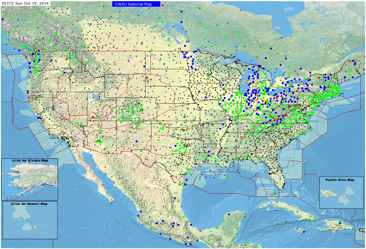