Jackson, KY
Weather Forecast Office
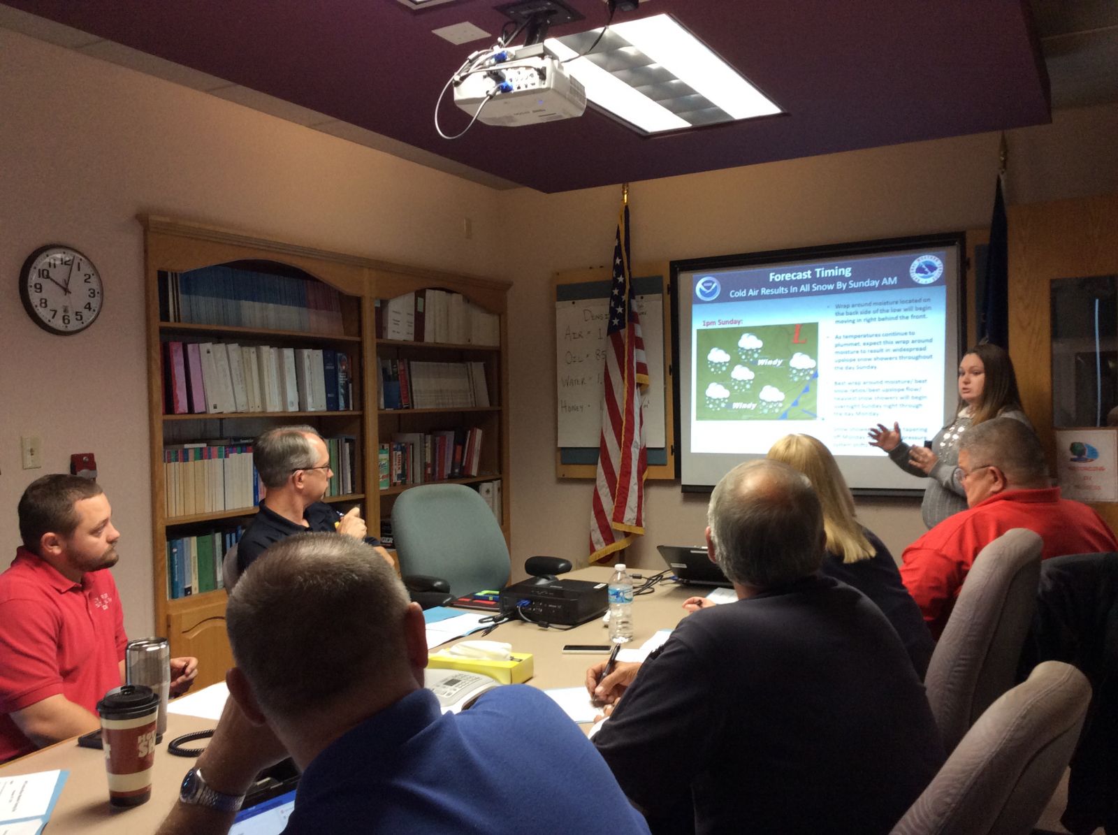
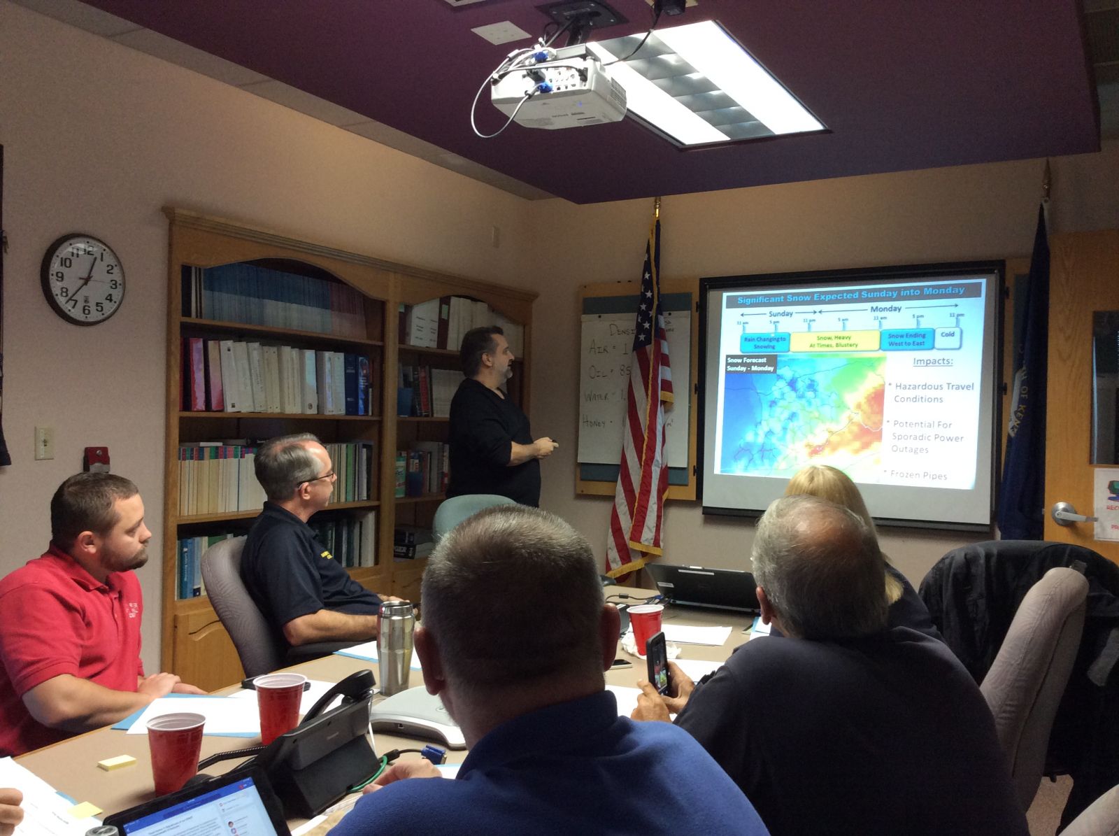
NWS Jackson forecasters trained together with our partners during our Winter Season Training Day on Thursday November 19th.
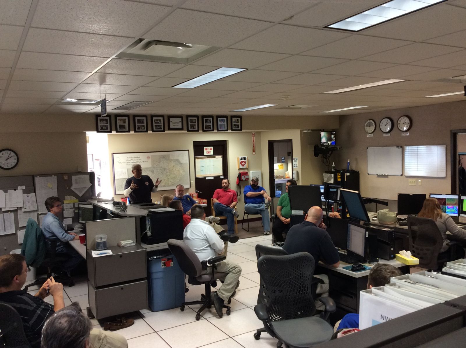
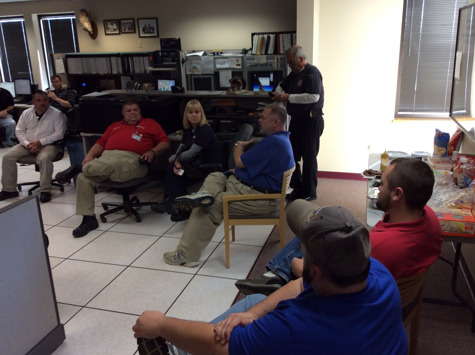
As part of the exercise, our forecasters assembled a briefing package for a winter weather event using our Weather Event Simulator. The next step was to deliver this briefing to a team of core partners, simulating the real life interactions which take place between an Incident Management Team and an onsite meteorologist. After the briefings were complete, all of our forecasters and our partners assembled in our operations area to talk about the exercise and the ramifications of the forecast.
One of the most beneficial parts of the exercise was hearing how our forecasts affected our partner's operations and how they would react to the information we briefed them. We also learned what works well in our briefings and what we can do better. The local relationships built in exercises like this will prove invaluable as we continue to move toward a Weather Ready East Kentucky!
We want to thank the following people and organizations for participating in our exercise:
Here are some pictures from the exercise...
 |
 |
| General Forecaster Jane Marie Wix (left) and Senior Forecaster Chuck Greif (right) briefing the team. | |
Warnings/Hazards
Decision Support - Outlooks
Current Weather Hazards
Hazards Criteria
Weather Story Graphic
Recent Storm Reports
Submit a Report
Forecasts
Decision Support - Forecast
Aviation Forecasts
Fire Weather Forecasts
Hourly Weather Forecast
Activity Planner
River Forecasts
Forecast Discussion
Current Conditions
Regional Radar
Decision Support - Current
Rivers and Lakes
Hourly Airport Weather
Local Radar
Satellite
Kentucky Mesonet
Past Weather
Local Climate Info
Temp/Precip Summary
How Much Rain Fell?
How Much Snow Fell?
Past Weather Events
Drought Information
Local Coop Observers
US Dept of Commerce
National Oceanic and Atmospheric Administration
National Weather Service
Jackson, KY
1329 Airport Road
Jackson, KY 41339
606-666-8000
Comments? Questions? Please Contact Us.


