
Gusty winds and dry conditions will continue to bring elevated to critical fire weather conditions to the southern Plains and Southeast early this week. A Pacific storm system will bring low elevation rain and heavy high elevation mountain snow to northern and central California through early week, expanding into the Pacific Northwest, Great Basin, and southern California on Tuesday. Read More >
| Current Conditions |
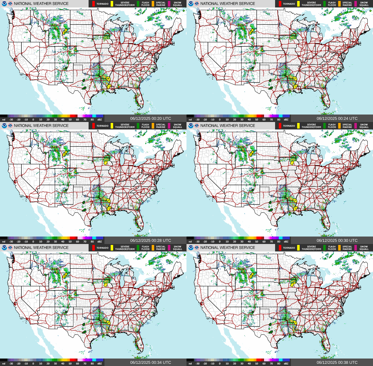 US Radar |
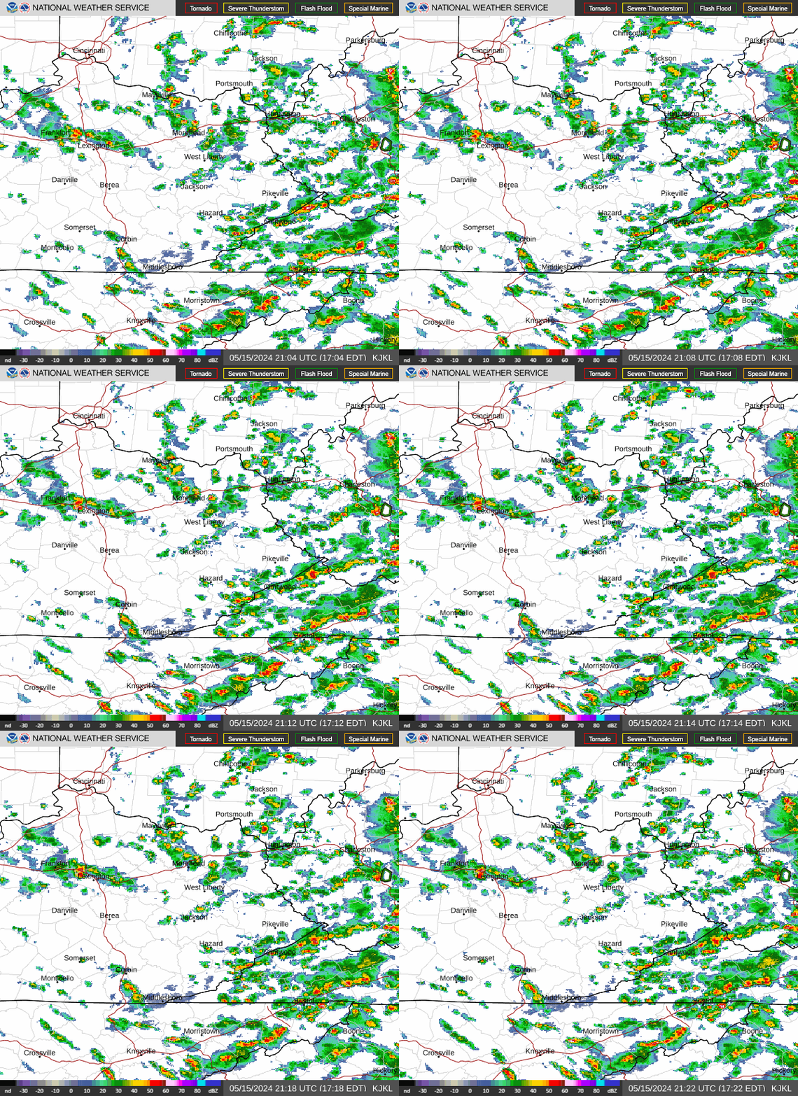 East Kentucky Radar Loop |
 Louisville |
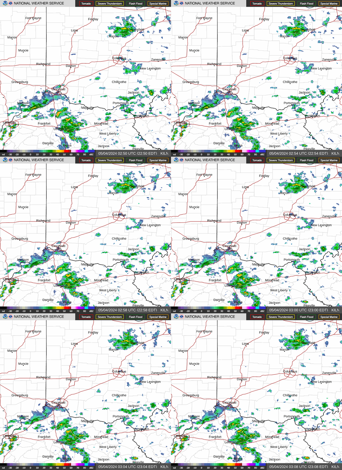 Wilmington, OH |
 Charleston, WV |
 Morristown, TN |
 Ohio Valley Visible Satellite Image (Loop) |
 Ohio Valley Infrared Satellite Image (Loop) |
 Ohio Valley Water Vapor Satellite Image (Loop) |
US Visible (Loop) |  |
| US Infrared (Loop) |  |
|||
| US Water Vapor (Loop) |  |
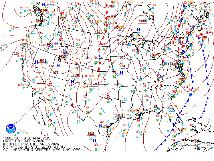 United States Surface Analysis |
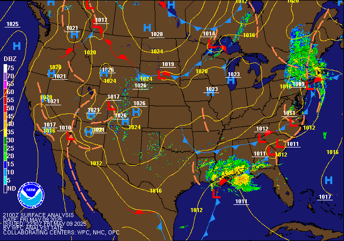 United States Surface Analysis with Radar |
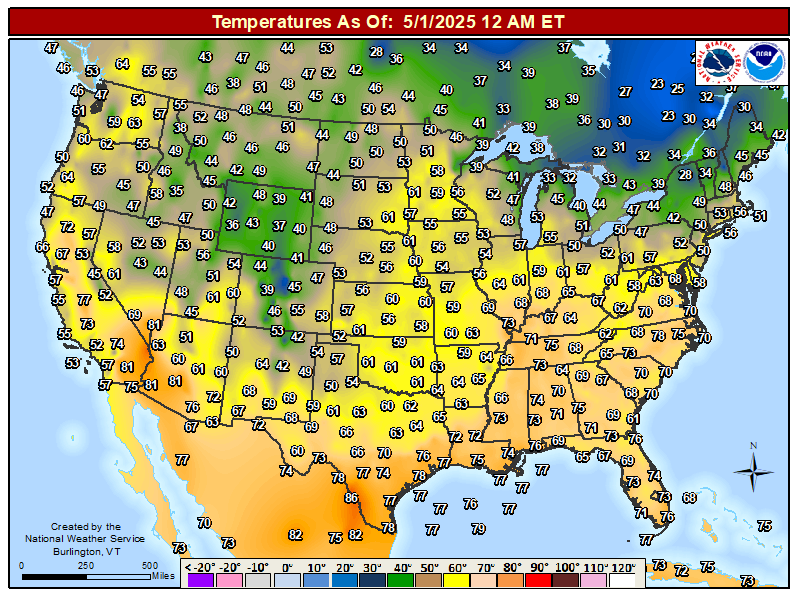 United States Current Surface Temperatures |
Note: Webcams are provided through third parties and may not always be up to date. Please check the time stamp on each image to ensure the image is current.
| Click on a Point for the Latest Conditions - Station Locations are Not Accurate to Street Level |
 Airport ASOS/AWOS Airport ASOS/AWOS  DOT RWIS DOT RWIS  Fire RAWS Fire RAWS  KY Mesonet KY Mesonet |
|
|
| Hourly Weather Roundups | Current Cooperative Observer Reports | Miscellaneous Links |
| East Kentucky | Eastern KY | Kentucky Mesonet |
| Rest of Kentucky | Kentucky | CoCoRaHS - Kentucky |
| Indiana | Indiana | |
| Ohio | Ohio | Kentucky Roadway Weather Information |
| West Virginia | West Virginia | Weather Calculator |
| Virginia | Virginia | National Precip Map |
| Tennessee | Tennessee | National Snowfall Map |