Extremely critical fire weather concerns for portions of the southern High Plans as strong wind and very dry conditions could result in rapid spread of any fires. Meanwhile, severe thunderstorms are expected once again across areas of the Central and Southern Plains, then spreading in the Mississippi Valley regions on Monday. Damaging winds, very large hail and strong tornadoes are possible. Read More >
While the major winter storms get all the publicity, very light wintry precipitation can be enough to wreak havoc for travelers. In fact, less than 1/100th of an inch of freezing rain can be enough to bring traffic to a standstill. Let's look a few cases where light wintry precipitation caused major impacts:
January 2nd, 2012:
 |
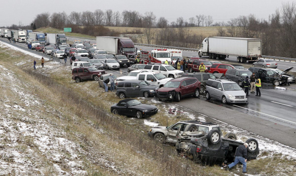
| Photo from Patrick Reddy, The Cincinnati Enquirer |
On the morning of January 2, 2012, a narrow band of accumulating snowfall occurred over the Cincinnati metropolitan area. While less than an inch of snow fell for most of the region, traffic was at a standstill and numerous accidents were reported. One such accident on I-75 (pictured left) involved 41 vehicles and closed down the southbound lane for three hours.
The reason this light snowfall event had such a major impact was due to the fact that temperatures fell rapidly below freezing during the snow showers. So, while the snow initially melted on contact with the pavement, it then quickly refroze as the temperatures plummeted, creating a layer of black ice.
December 9th, 2011:
 |
| Photo from WYMT |
A woman died when her vehicle slid into Quicksand Creek after hitting a patch of black ice on Highway 30 in Breathitt County. While no precipitation was falling during the accident, rain had occurred earlier in the night. Temperatures plummeted below freezing after the rain ended, creating areas of black ice on the road.
Tips for Keeping Your "Situational Awareness" No Matter What Kind of Weather Winter Brings
Make it a practice to check your favorite websites, news media, NOAA All-Hazards Weather Radio and/or your local National Weather Service's website for the latest forecast information before you head out the door.
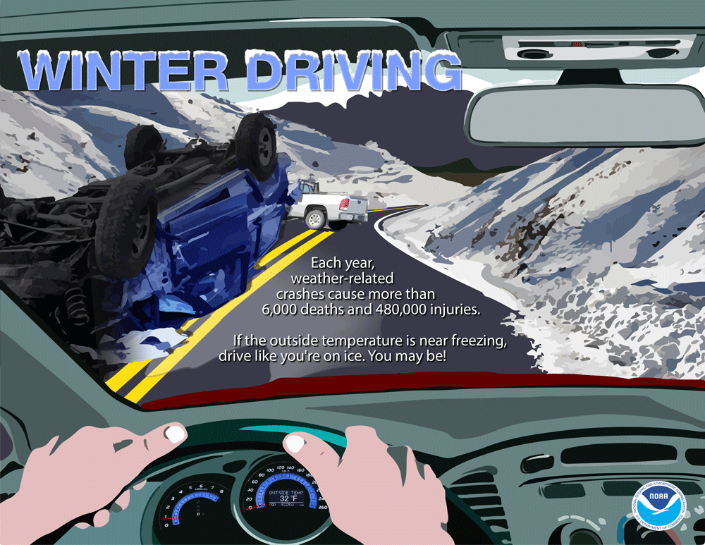
Take a quick look at the temperatures where you will be traveling. One great resource for this information is the Kentucky Mesonet. If you see temperatures within 3 or 4 degrees of freezing in the area you will be traveling or on you car thermometer readout, change your driving habits and be aware that you could encounter black ice. Be especially careful on bridges, overpasses, and when driving on roads that are heavily shaded during the daylight hours. These areas can freeze before the rest of the road.
Finally, an excellent resource for information on road conditions across the Commonwealth can be found by dialing 511 or by visiting the Kentucky Transportation Cabinet's website for road conditions at https://511.ky.gov/.
