A Pacific storm is bringing areas of low elevation rain, moderate to heavy mountain snow, and high winds to the Northwest. Strong Santa Ana winds and very dry conditions are producing elevated to critical fire weather conditions in southern California. Isolated strong to severe thunderstorms are possible through early Wednesday morning across parts of northeast Texas into western Tennessee. Read More >
![]() |
![]() |
![]() |
![]() |
![]() |
![]() |
![]() |
![]() |
502
WGUS63 KJKL 020300
FFAJKL
Flood Watch
National Weather Service Jackson KY
1100 PM EDT Tue Apr 1 2025
KYZ044-050>052-058>060-068-069-079-080-083-084-104-106>109-111-112-
114-021000-
/O.CON.KJKL.FA.A.0005.250403T0000Z-250406T1200Z/
/00000.0.ER.000000T0000Z.000000T0000Z.000000T0000Z.OO/
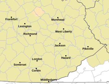
Fleming-Montgomery-Bath-Rowan-Estill-Powell-Menifee-Rockcastle-
Jackson-Pulaski-Laurel-Wayne-McCreary-Elliott-Morgan-Johnson-
Wolfe-Magoffin-Lee-Breathitt-Owsley-
Including the cities of Jackson, Whitley City, Mount Sterling,
Ravenna, Jeffersonville, Camargo, McKee, Annville, West Liberty,
Irvine, Clay City, Salyersville, Sandy Hook, London, Mount
Vernon, Burnside, Stearns, Owingsville, Beattyville, Morehead,
Frenchburg, Campton, Somerset, Monticello, Brodhead, Stanton,
Booneville, Paintsville, and Flemingsburg
1100 PM EDT Tue Apr 1 2025
...FLOOD WATCH REMAINS IN EFFECT FROM WEDNESDAY EVENING THROUGH
SUNDAY MORNING...
* WHAT...Flooding caused by excessive rainfall continues to be
possible.
* WHERE...Portions of east central, northeast, south central, and
southeast Kentucky, including the following counties, in east
central Kentucky, Bath, Elliott, Estill, Fleming, Menifee,
Montgomery, Powell and Rowan. In northeast Kentucky, Johnson. In
south central Kentucky, Laurel, McCreary, Pulaski, Rockcastle and
Wayne. In southeast Kentucky, Breathitt, Jackson, Lee, Magoffin,
Morgan, Owsley and Wolfe.
* WHEN...From Wednesday evening through Sunday morning.
* IMPACTS...Excessive runoff may result in flooding of rivers,
creeks, streams, and other low-lying and flood-prone locations.
Creeks and streams may rise out of their banks.
* ADDITIONAL DETAILS...
- A cold front will move into the Ohio Valley Wednesday night
and then stall. It will result in multiple rounds of showers
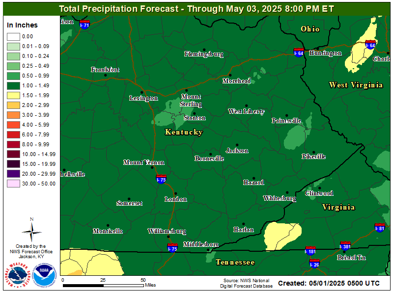
and thunderstorms. Current forecasts indicate rainfall totals
through the weekend reaching 3 to 6 inches in most of the
watch area. If these amounts materialize, flooding may occur,
including along rivers.
- http://www.weather.gov/safety/flood
PRECAUTIONARY/PREPAREDNESS ACTIONS...
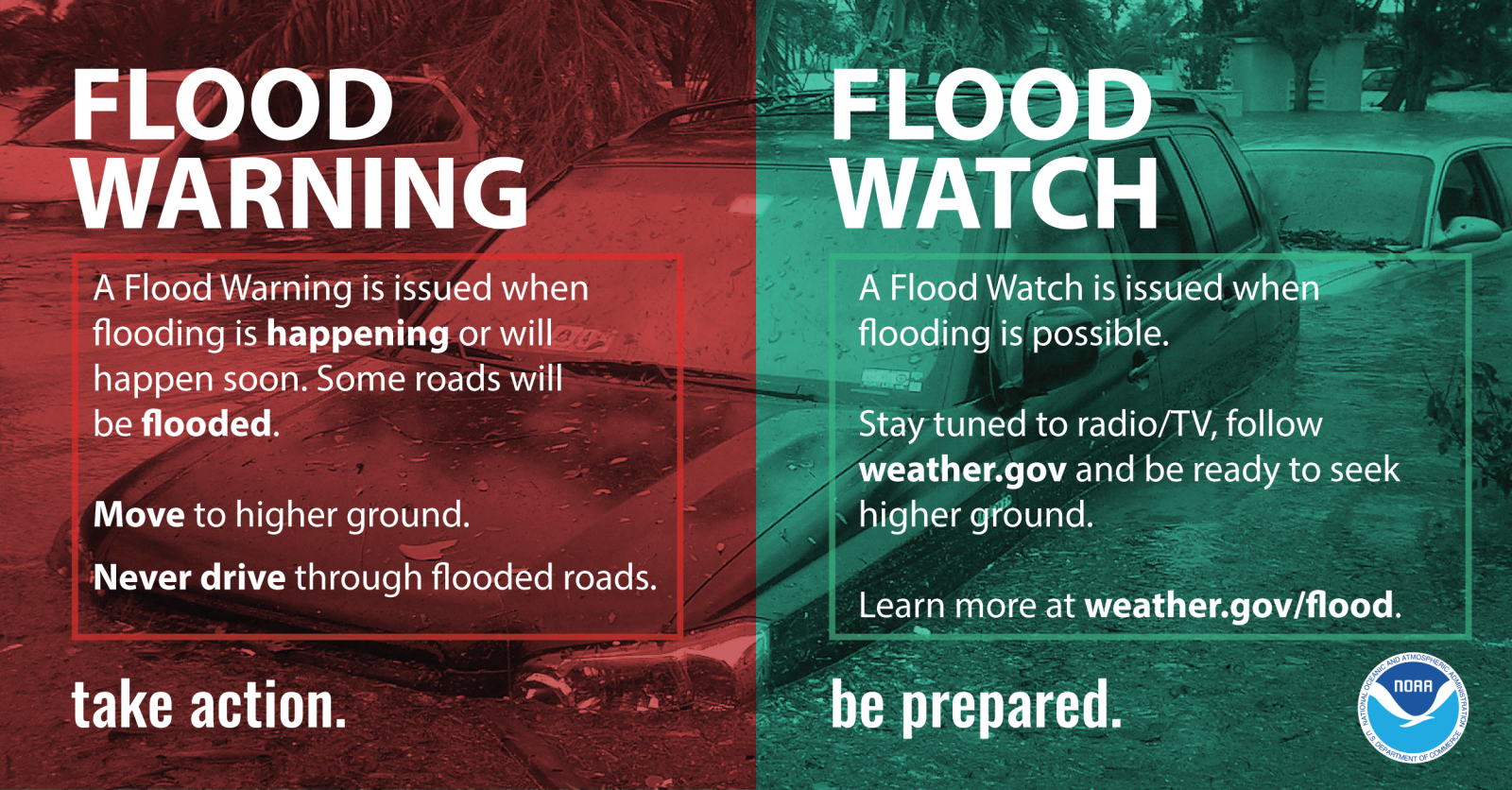
You should monitor later forecasts and be alert for possible Flood
Warnings. People in flood prone areas should be prepared to take
action should flooding develop.
&&
$$
GREIF