
A slow moving front will be the focus area for heavy to excessive rainfall and a threat for flash/urban flooding across parts of the Gulf Coast into central/northern Florida early this week. Abnormally hot, potentially record-breaking, temperatures will continue for southern California and stretch north toward the Bay Area and Central Valley this week. Read More >
Jackson, KY
Weather Forecast Office
NWS Jackson, KY is a member of the East Kentucky Weather Preparedness Committee, a regional subcommittee of the statewide Kentucky Weather Preparedness Committee. The committee is made up of a diverse group of partner agencies and organizations including emergency management, first responders, public health, transportation, media, and volunteer organizations. The committee's purpose is to work together to improve east Kentucky's severe weather preparedness. In addition, the committee also serves as an Integrated Warning Team in which committee members work to foster improved communication, relationships, and planning for future severe weather events.
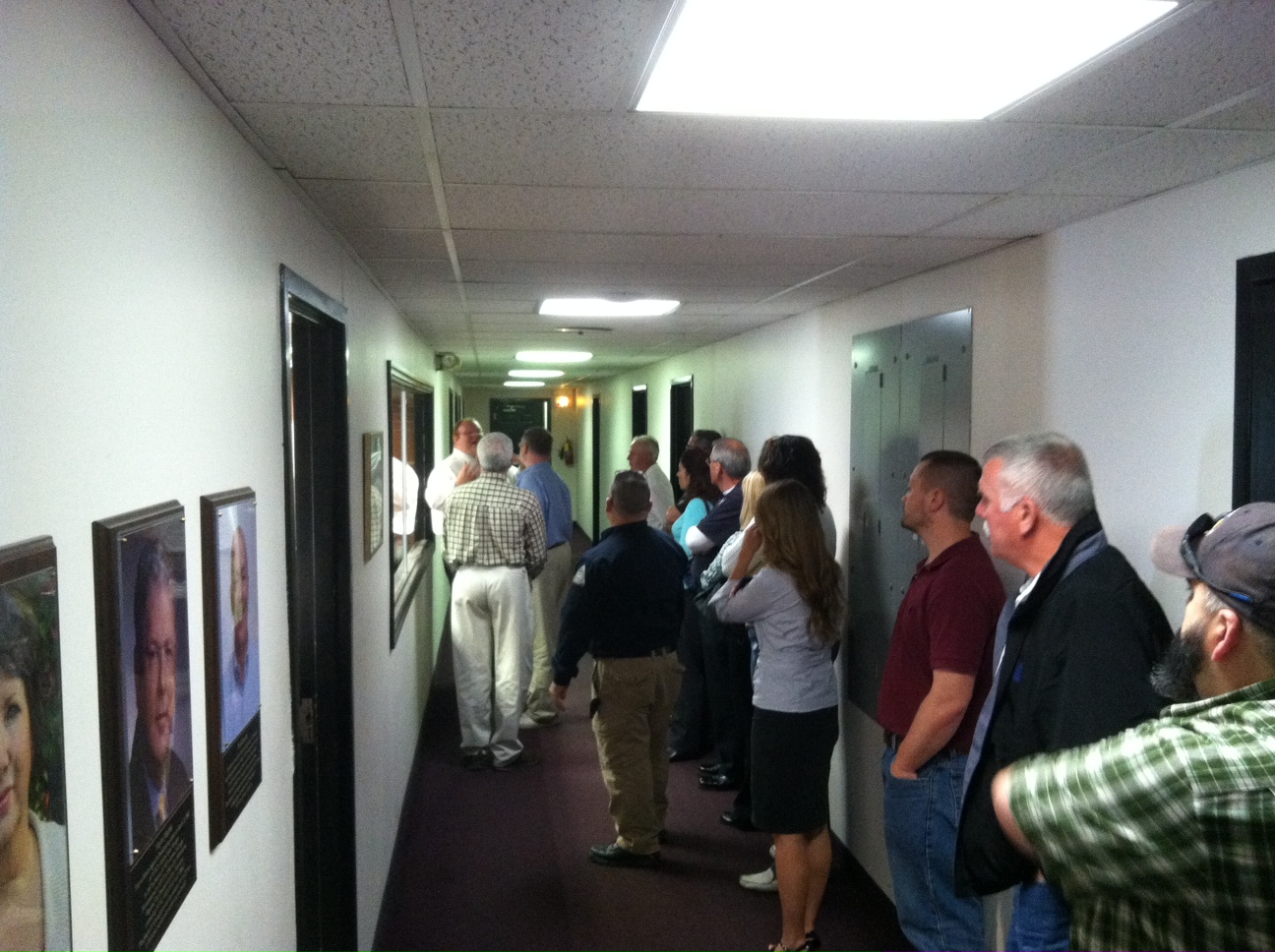
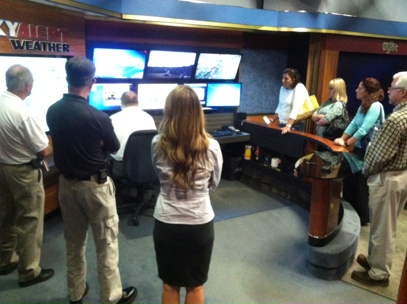
On Wednesday April 22, KWPC-East met at the WYMT studios in Hazard, KY. WYMT's Brandon Robinson, a KWPC-East member, gave committee members a tour of the WYMT facilities and demonstrated how the weather team puts together a weather broadcast. Brandon spoke about how the WYMT news and weather teams use the information provided by all of the agencies in attendance and about the importance of social media in this process. Some pictures from the tour have been included below.
We want to thank Brandon Robinson and the entire crew at WYMT for hosting the meeting and thanks to all of the committee members who were able to attend the meeting!
For more information on how NWS Jackson, KY is working with our partner agencies and organizations to build a Weather Ready East Kentucky, please visit https://www.weather.gov/jkl/partnerships.
 |
 |
 |
|
Warnings/Hazards
Decision Support - Outlooks
Current Weather Hazards
Hazards Criteria
Weather Story Graphic
Recent Storm Reports
Submit a Report
Forecasts
Decision Support - Forecast
Aviation Forecasts
Fire Weather Forecasts
Hourly Weather Forecast
Activity Planner
River Forecasts
Forecast Discussion
Current Conditions
Regional Radar
Decision Support - Current
Rivers and Lakes
Hourly Airport Weather
Local Radar
Satellite
Kentucky Mesonet
Past Weather
Local Climate Info
Temp/Precip Summary
How Much Rain Fell?
How Much Snow Fell?
Past Weather Events
Drought Information
Local Coop Observers

US Dept of Commerce
National Oceanic and Atmospheric Administration
National Weather Service
Jackson, KY
1329 Airport Road
Jackson, KY 41339
606-666-8000
Comments? Questions? Please Contact Us.


 Follow us on X
 Follow us on Facebook
 Follow us on YouTube
 JKL RSS Feed