
Heat expands across the Desert Southwest, Plains, Mississippi Valley and Midwest into Monday. Fire weather concerns continue for portions of the Intermountain West. Active monsoonal moisture fuels thunderstorms over the Southwest with possible flash flooding. Tropical cyclone Fausto in the Pacific, should weaken as it approaches Hawaii; Dangerous surf, swells and rip currents are expected. Read More >
Overview
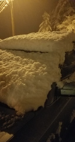
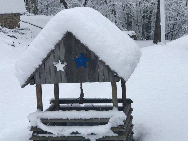
A weather disturbance aloft interacted with a cold front over southeast Kentucky to bring widespread snow to the area during the early morning hours of February 7th. A band of very heavy snowfall developed from Whitley and Bell Counties through Harlan and Letcher Counties. Within this band of snowfall, amounts ranged from 4 to 9 inches. The snow was very wet and heavy in nature, which led to several down branches and trees. This in turn, knocked out power for several thousand customers during the morning hours. Travel was also very difficult as snowfall rates exceeded 2 inches per hour at times, making it nearly impossible to keep the roads cleared off. Travel across the higher ridgetops above 2000 feet was especially treacherous as temperatures in these areas were much colder and saw the higher accumulations.Photos & Video
 |
 |
 |
 |
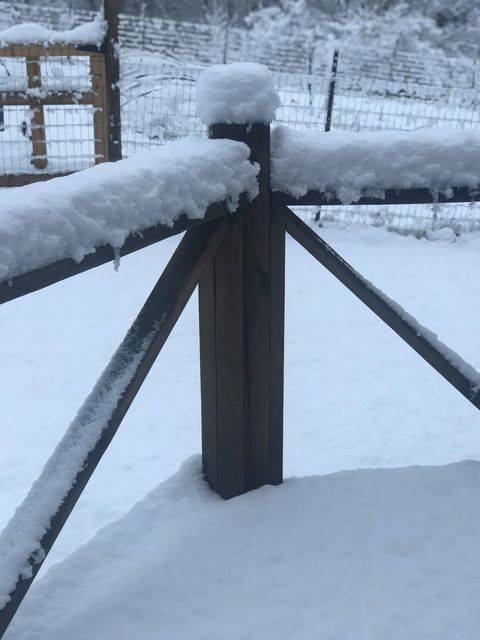
| Chelsey took this picture from Frakes in Bell County | Kendra Parton took this picture from Middlesboro in Bell County | Kendra Parton took this picture from Middlesboro in Bell County | Kelly took this picture from Cranks in Harlan County along Highway 421 |
 |
 |
 |
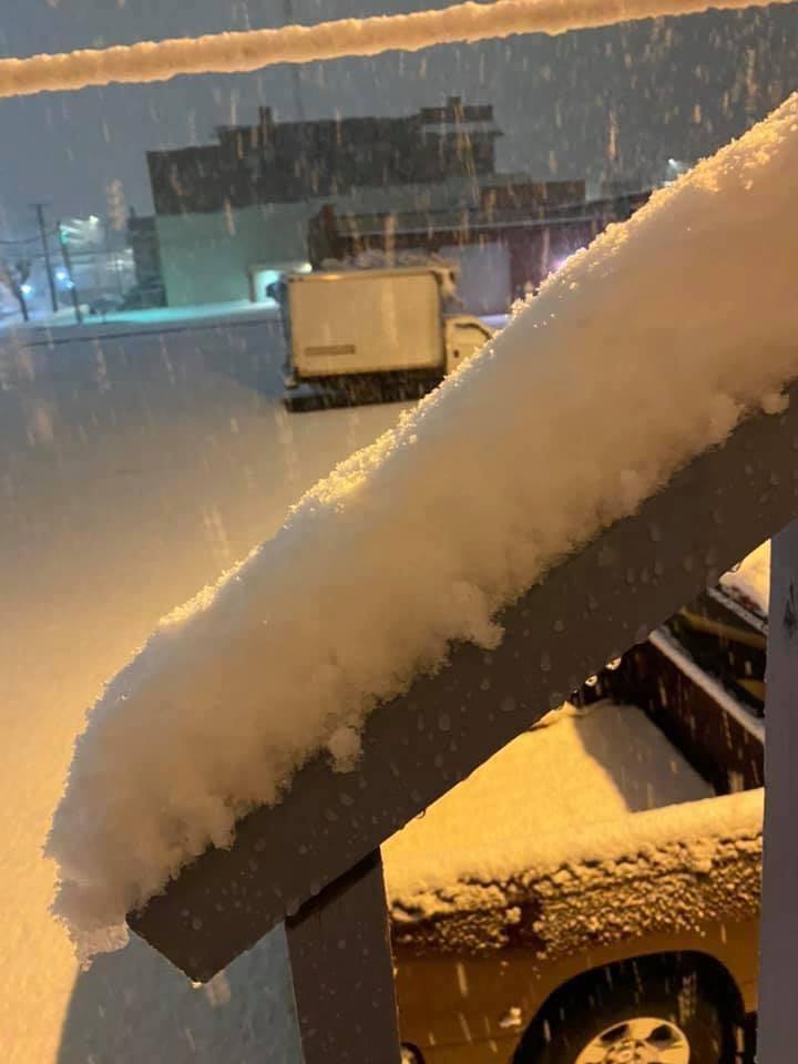
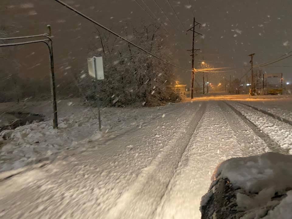
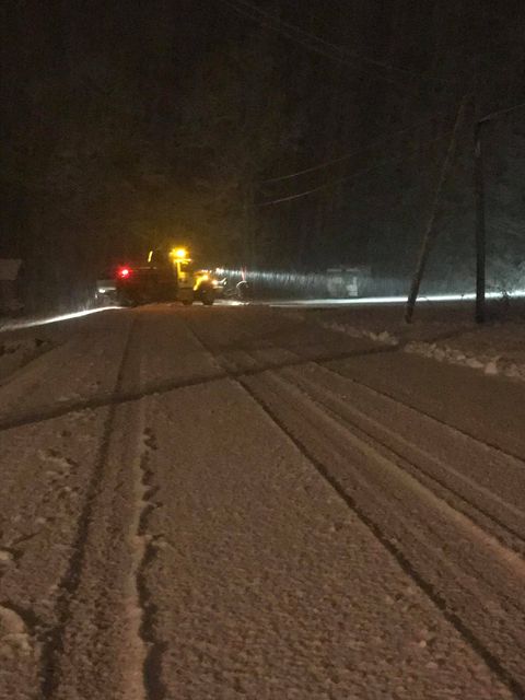
| Miranda took this picture from Wallins in Harlan County. | Misty took this picture from Leatherwood in Perry County | Tammie took this picture from the top of Pine Mountain |
Radar
...SNOWFALL REPORTS...

Location                     Amount    Time/Date       Provider
1 N Rock House               9.8 in    1026 AM 02/07   Public
Pansy                        8.5 in    0855 AM 02/07   Public
1 NNE Gatun                  8.3 in    0755 AM 02/07   Public
1 NE Loyall                  6.5 in    0646 AM 02/07   Public
Frakes                       6.5 in    0855 AM 02/07   Public
Mayking                      6.5 in    1017 AM 02/07   Public
1 WSW Wallins Creek          6.0 in    0632 AM 02/07   Public
Strunk                       4.5 in    0900 AM 02/07   Public
Carcassonne                  4.0 in    0636 AM 02/07   Public
Pineville                    3.5 in    0455 AM 02/07   Law Enforcement
1 SSW Ermine                 3.5 in    0700 AM 02/07   CO-OP Observer
2 ESE Slemp                  3.0 in    0900 AM 02/07   Public
1 ESE Skyline                2.7 in    0700 AM 02/07   CO-OP Observer
Beverly                      2.5 in    0425 AM 02/07   Public
Whitley City                 2.5 in    0800 AM 02/07   Trained Spotter
1 SW Deering                 1.1 in    0700 AM 02/07   Cocorahs
Thornton                     1.0 in    0340 AM 02/07   Trained Spotter
Clover Bottom 1 WSW          1.0 in    0800 AM 02/07   COOP
Cressy                       0.7 in    0800 AM 02/07   UCOOP
Stanton 2 W                  0.6 in    0800 AM 02/07   COOP
Campton 9.3 SE               0.6 in    0800 AM 02/07   COCORAHS
Viper 0.5 N                  0.5 in    0605 AM 02/07   COCORAHS
Jackson 5.5 WNW              0.5 in    0700 AM 02/07   COCORAHS
Salyersville                 0.5 in    0800 AM 02/07   COOP
Environment
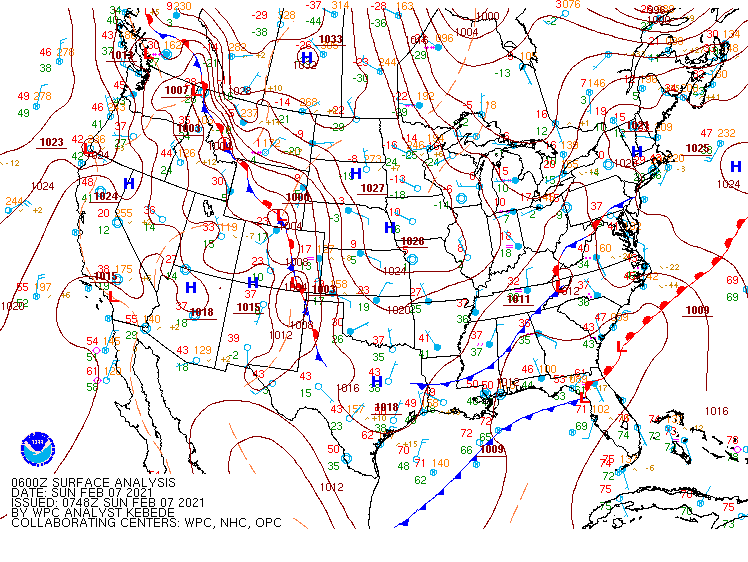 |
| 1 AM Surface Map, Sunday, February 7th, 2021 |
 |
Media use of NWS Web News Stories is encouraged! Please acknowledge the NWS as the source of any news information accessed from this site. |
|

