Areas of Showers and Thunderstorms to Start the Work Week
Areas of rain and thunderstorms are forecast Monday across the central and eastern states. Some mixed rain and snow is possible in the high Sierra Mountains. Heavy to excessive rain may bring flooding in the central Appalachians.
Read More >
LOADING...
Huntsville, AL
Weather Forecast Office
Damaging Winds and an Isolated Tornado on April 30, 2017
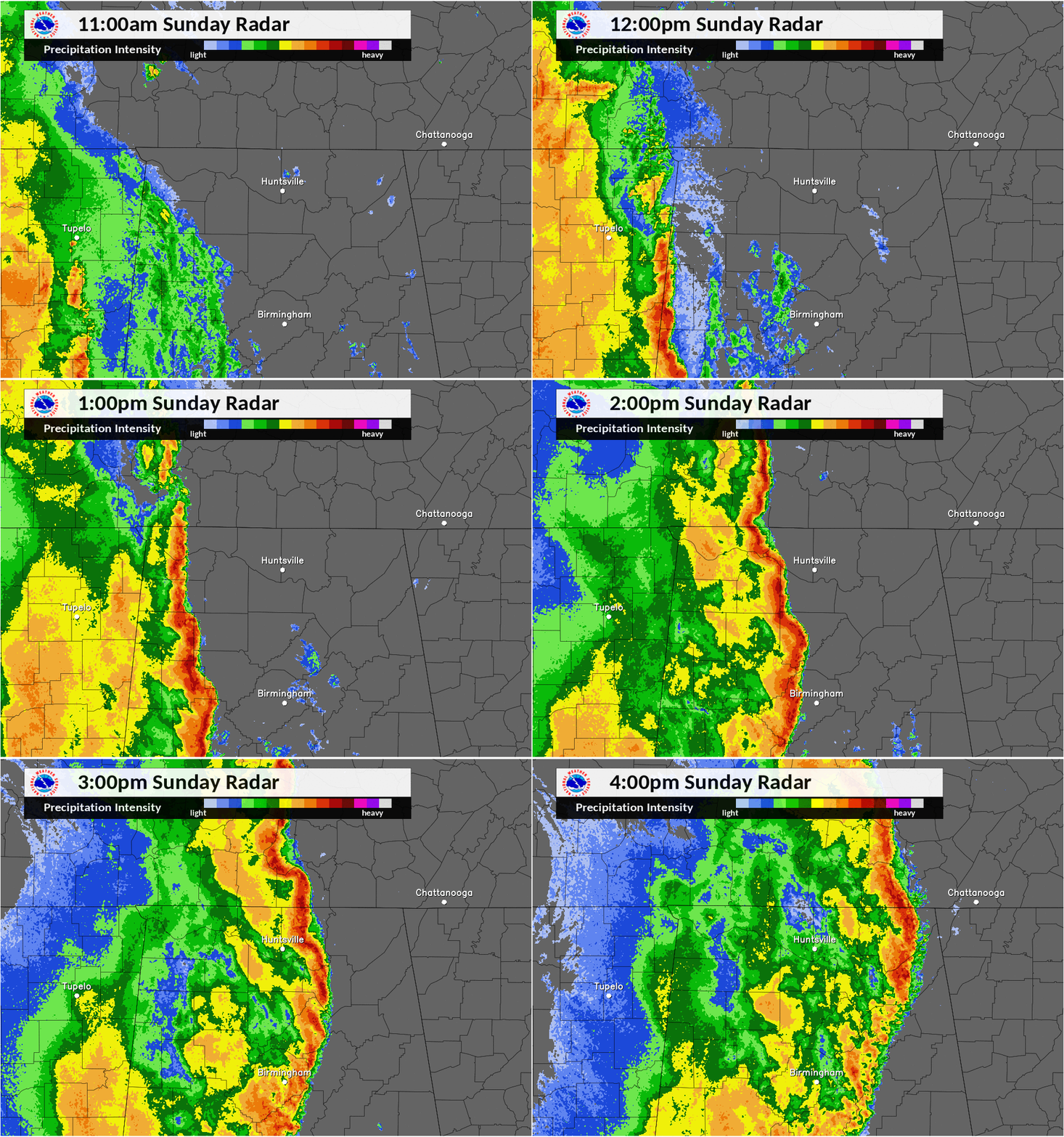
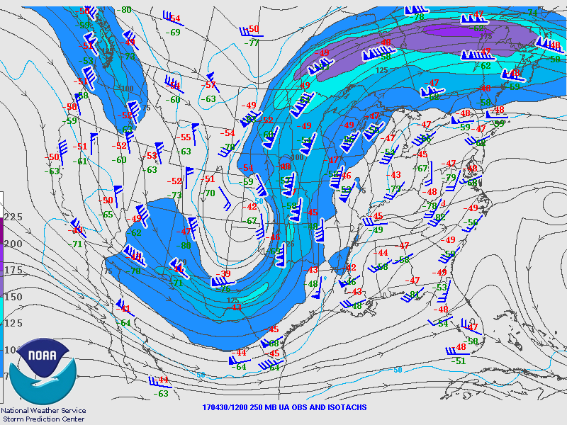
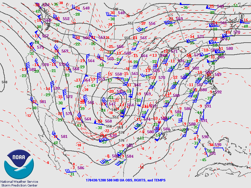
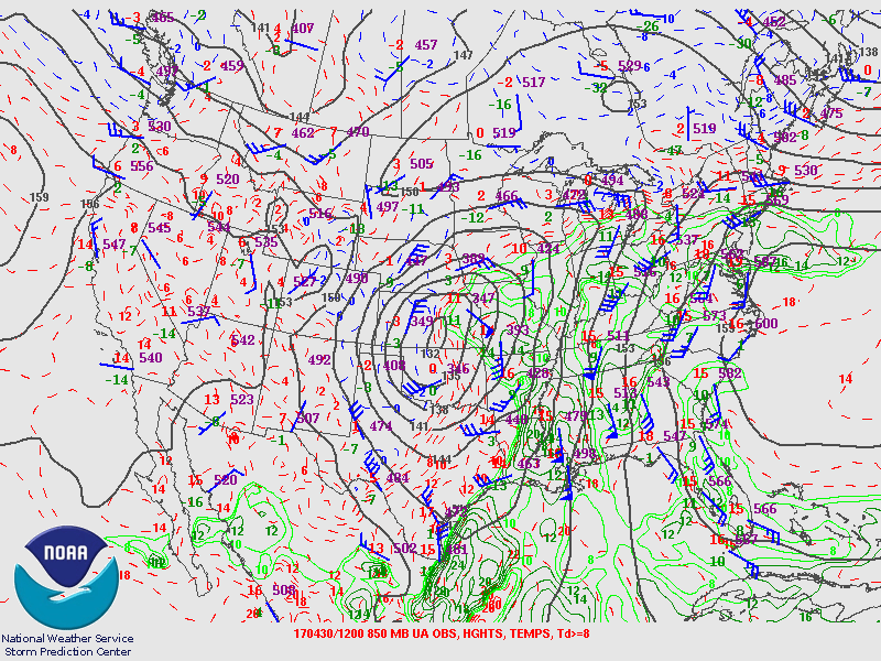
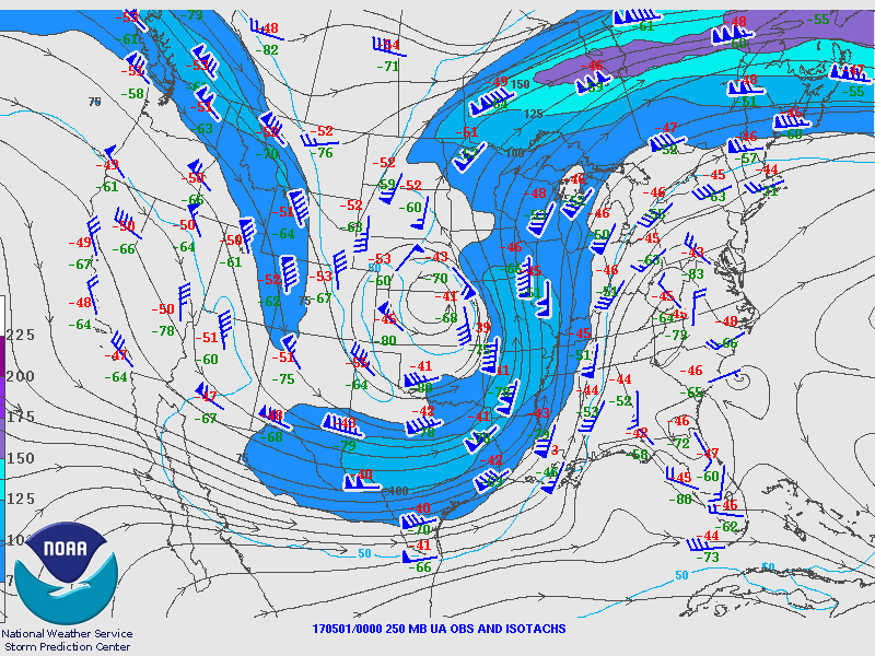
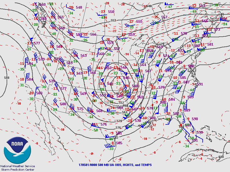
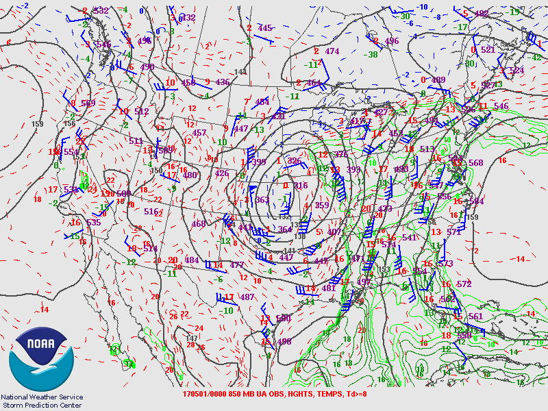
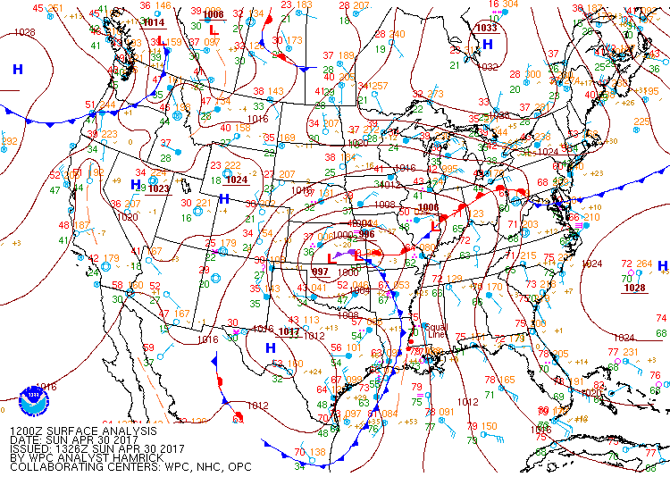
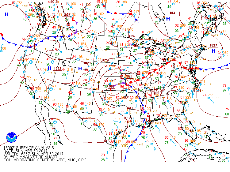
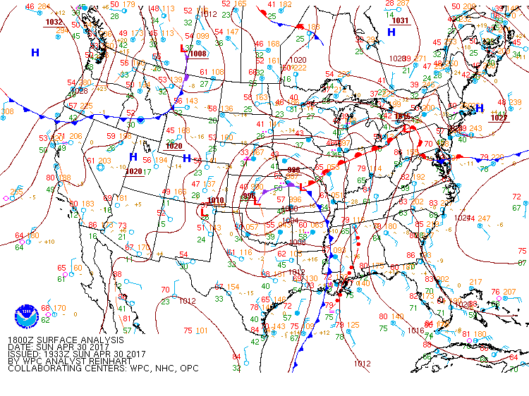
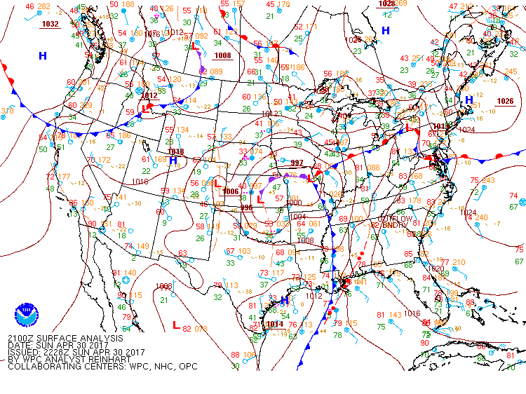
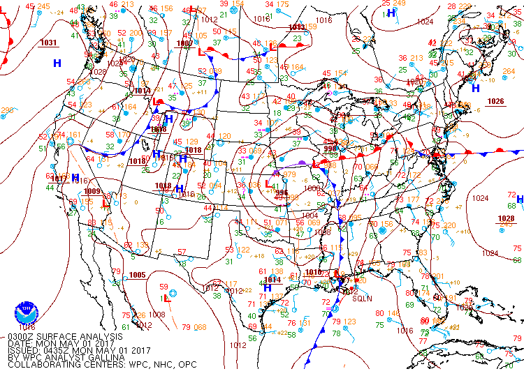
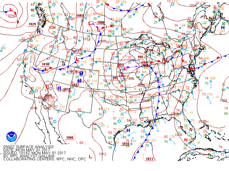
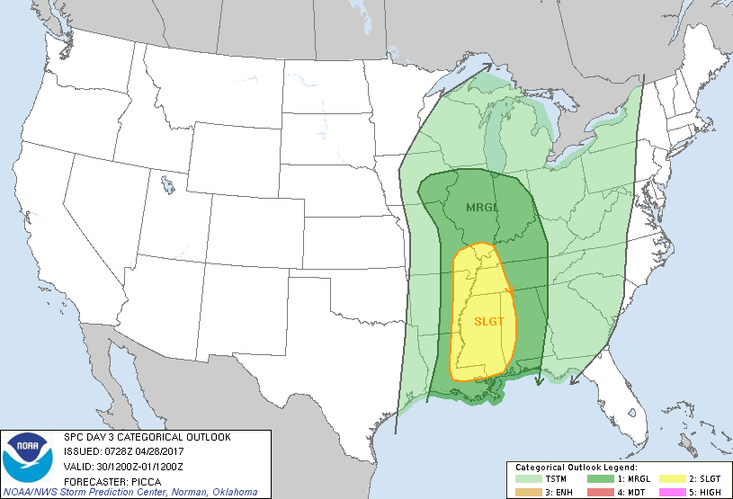
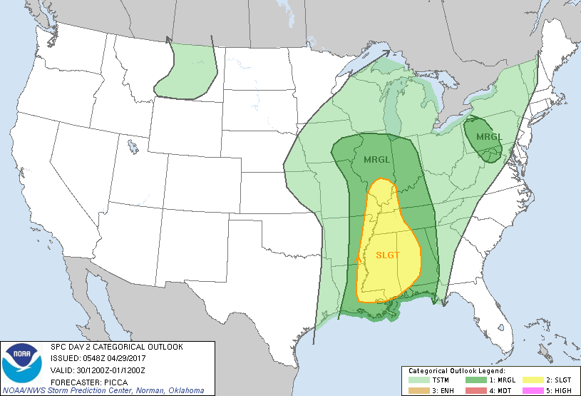
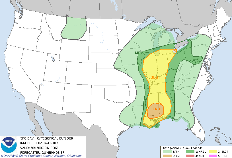
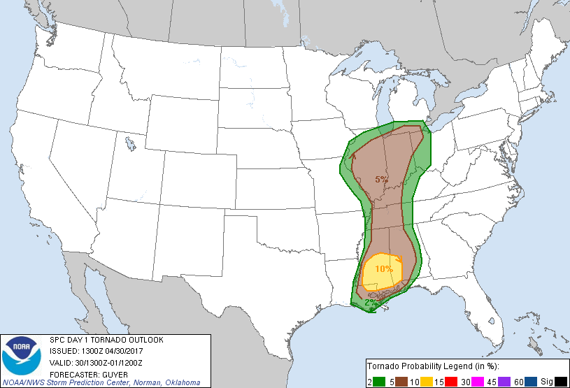
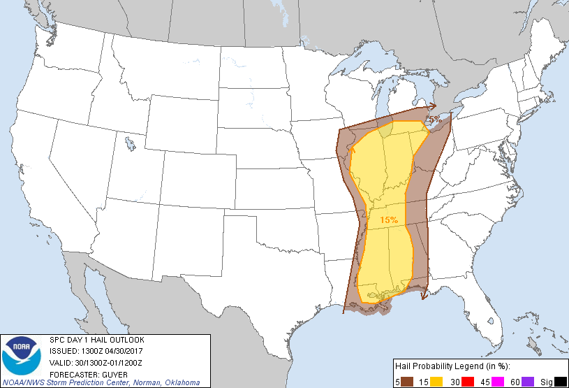
An upper level system and associated surface low dug into the central Plains on April 29th and then tracked eastward across the southeastern United Sates during the day on April 30th. Showers and thunderstorms erupted along a pre-frontal trough on the 29th across Arkansas, Oklahoma, Louisiana, and Texas. These moved east towards the Tennessee Valley during the overnight hours on the 29th into the 30th. The line of storms was located across central Mississippi by sunrise on the 30th. The atmosphere became more unstable and the line of storms intensified as it started to cross into Alabama during the late morning and early afternoon hours on the 30th. The wind shear ahead of the thunderstorms was very favorable for embedded strong to severe storms. Multiple bow-echos formed as the line crossed from Mississippi into Alabama and tornado warnings were issued for west central Alabama. These bow-echoes tracked north into northern Alabama and two tornado warnings were issued over the Huntsville forecast area. The tornado warned storm was located in eastern Lauderdale and western Limestone Counties near Rogersville. No damage was reported with this warning. The second warning was issued for northern Cullman and southern Morgan Counties. Damage consistent with an EF-0 tornado was found in Cullman County.
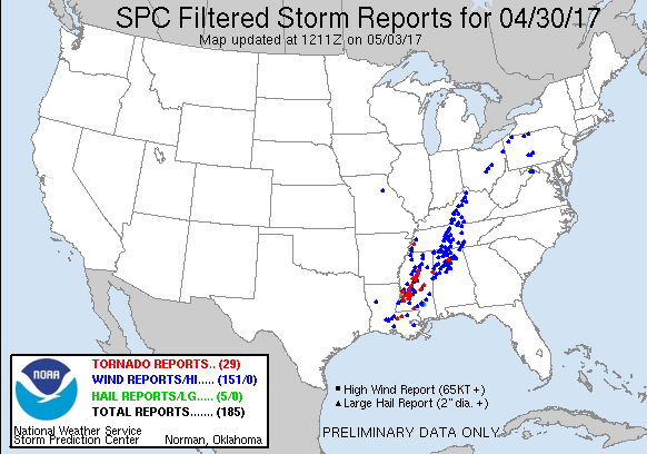
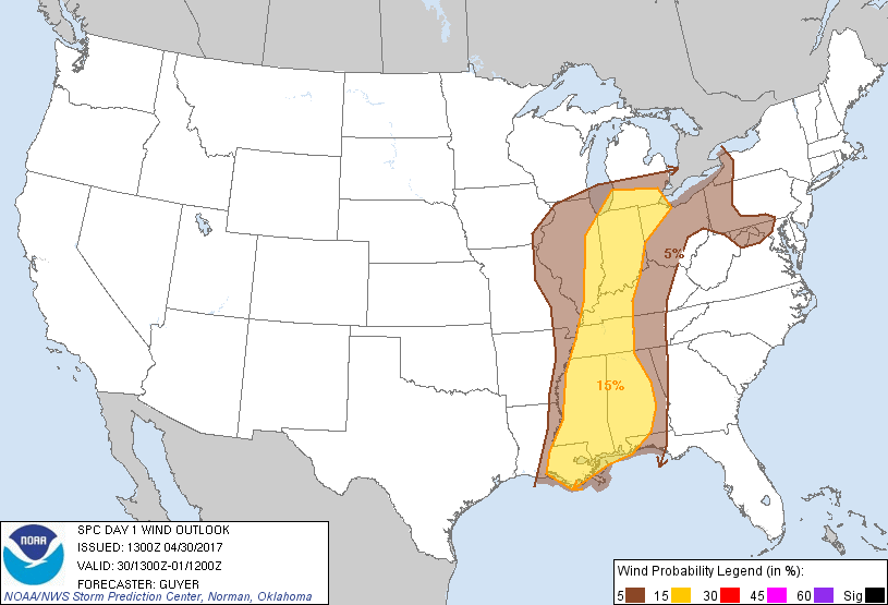
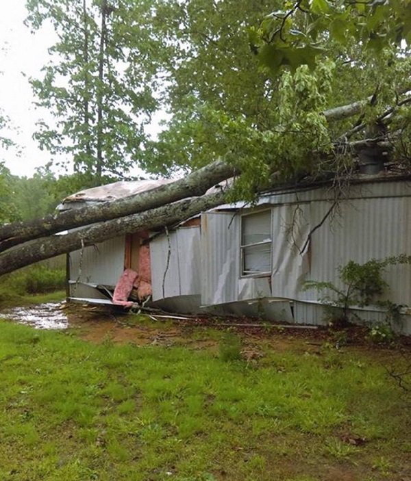
In addition to those warnings, multiple Severe Thunderstorm Warnings were issued for damaging wind gusts associated with the line of storms. Reports of trees and power lines were recorded across much of northern Alabama and southern middle Tennessee. Unfortunately, there was one reported fatality in Tennessee where a tree fell on a woman. The line continued to track east into northern Georgia where additional thunderstorm wind damage was reported with the line. The cold front didn't move across the area until the evening and overnight hours of April 30th to May 1st. No damage was reported with the storms that moved through overnight.
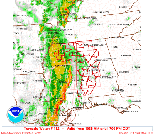
Tornado Watch #182 was issued at 10:35 AM.
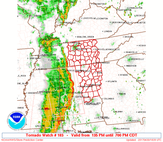
Tornado Watch #183 was issued at 1:35 PM.
Click on the image to view the storm reports.
Radar loop showing the QLCS as it moved across the TN Valley.
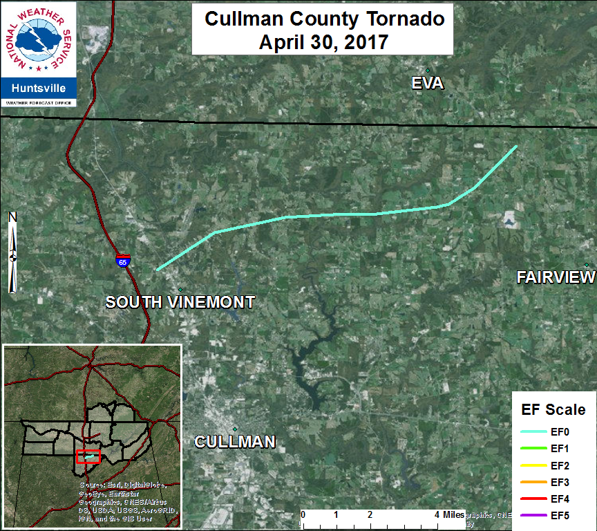
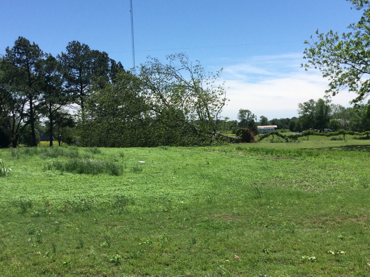
An EF-0 tornado touched down along CR 1223, about
six-tenths of a mile from I-65. The tornado
traveled the northeast for approximately 10 miles
before lifting just east of CR 1527 just south of
the Morgan County line. Along its path, the
tornado uprooted several trees and caused many
large limbs to be damaged. The most damage occurred
near CR 1526, where a metal roof was blow off a
metal building and minor roof shingle damage
occurred.