Areas of Showers and Thunderstorms to Start the Work Week
Areas of rain and thunderstorms are forecast Monday across the central and eastern states. Some mixed rain and snow is possible in the high Sierra Mountains. Heavy to excessive rain may bring flooding in the central Appalachians.
Read More >
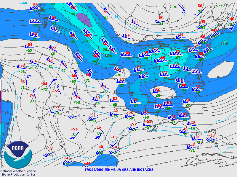
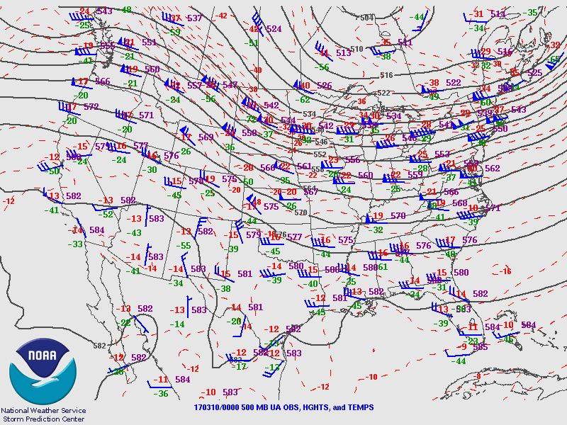
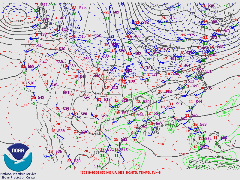
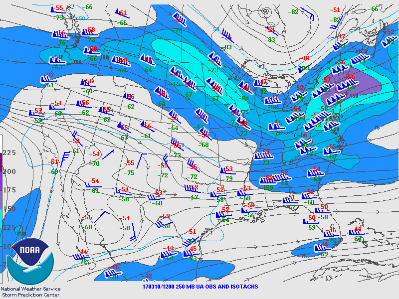
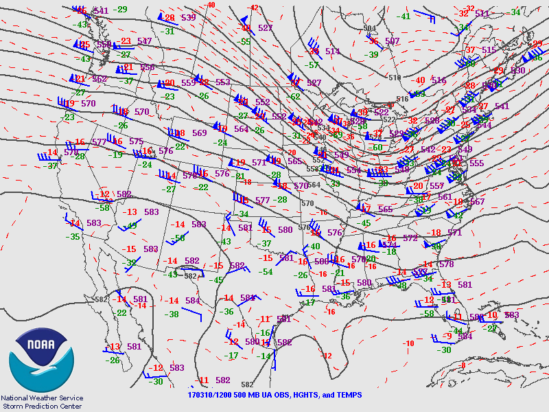
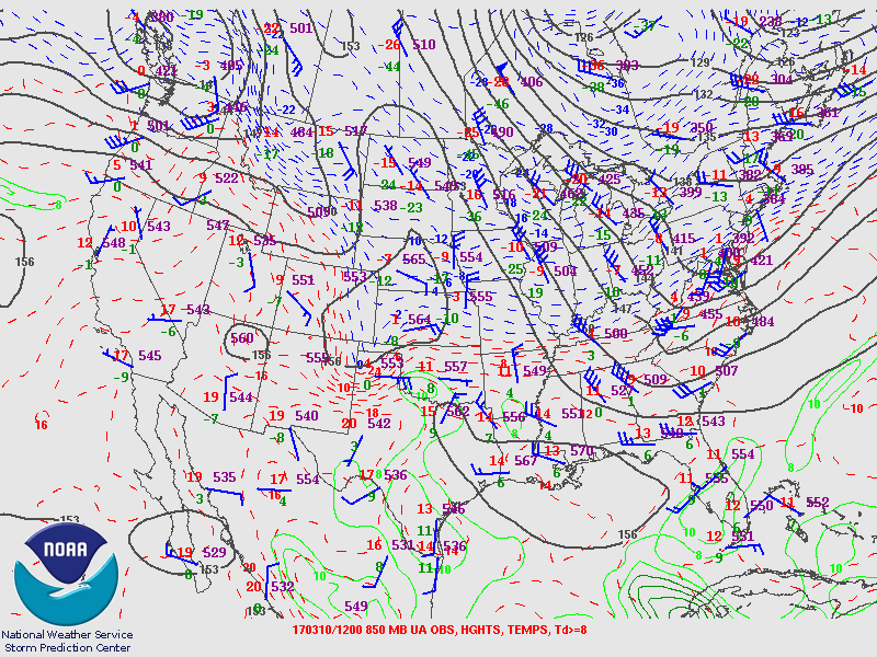
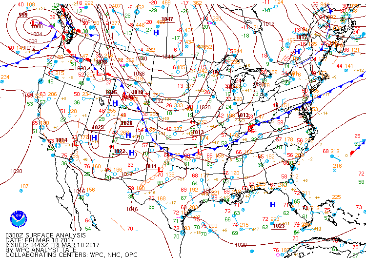
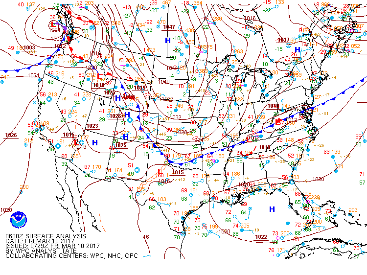
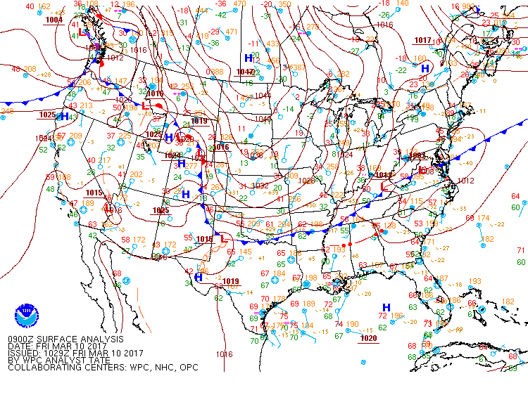
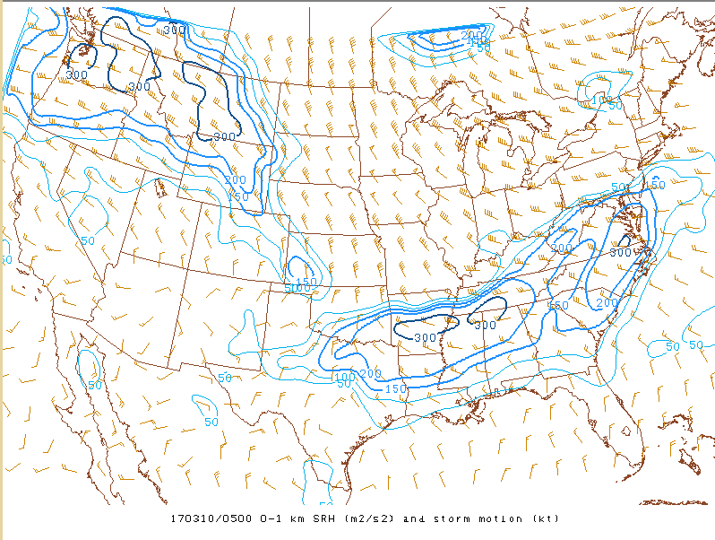
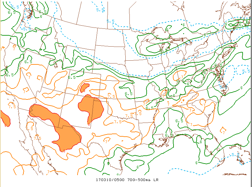
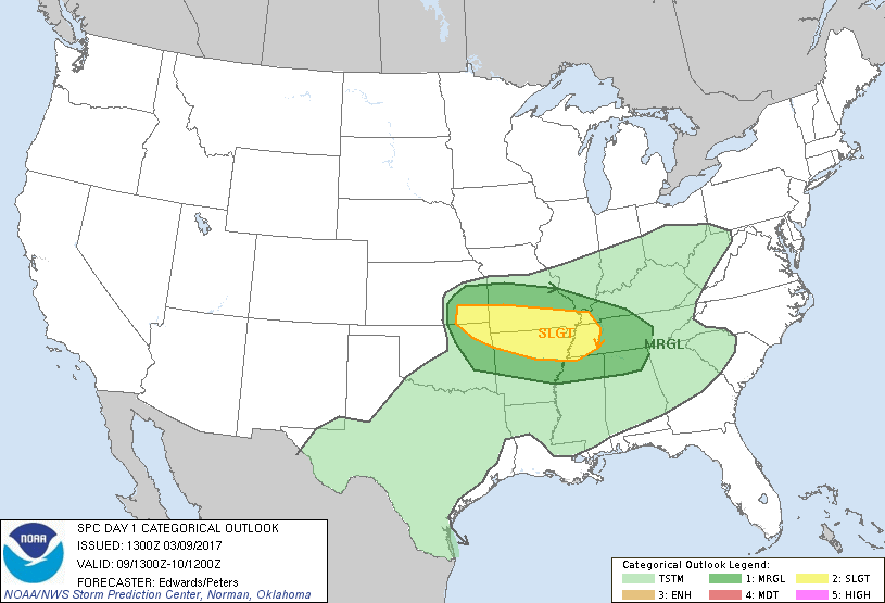
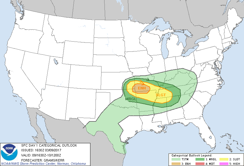
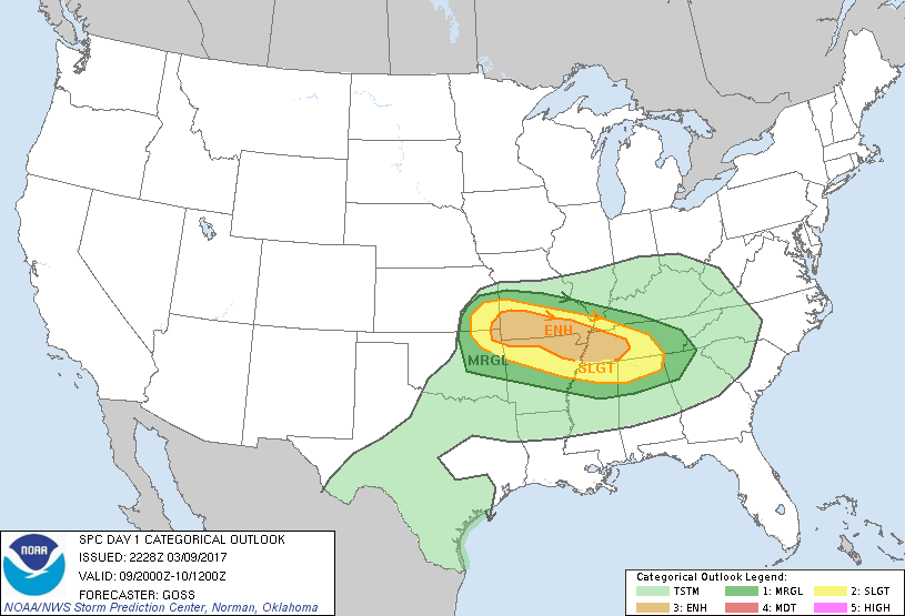
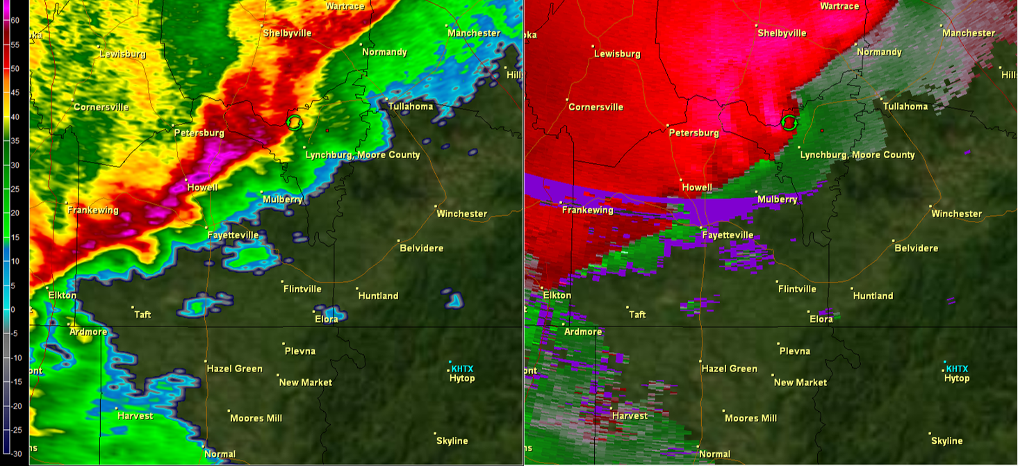
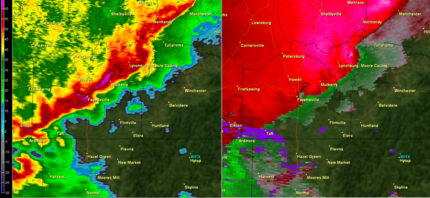
On the evening of March 9th, 2017, a strong cold front was pushing southeast from southern Missouri/Kentucky extending northeast into the Mid-Atlantic area of the U.S. Fairly strong low and mid-level winds (850 mb winds ~40 knots/500 mb winds of 60-70 knots) were in place ahead of the cold front. Ahead of the front (over the Huntsville Forecast area and further northwest), several other severe weather ingredients were in place. These ingredients came together ahead of the front to produce a Mesoscale Convective System (MCS) comprised of strong to severe thunderstorms. They included: surface based instability values of up to 500 J/KG, steep mid-level lapse rates between 700 mb and 500 mb of ~ 7 degrees Celsius/km, and 0-1 km helicity (low level turning of winds) values of 200-400 m2/s2. This MCS raced southeast through northern Alabama and Southern Middle Tennessee around midnight through ~ 3 AM. This activity weakened towards daybreak as the front pushed southeast into central Alabama.
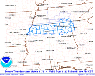
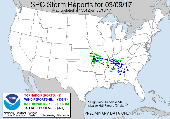
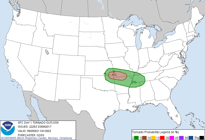
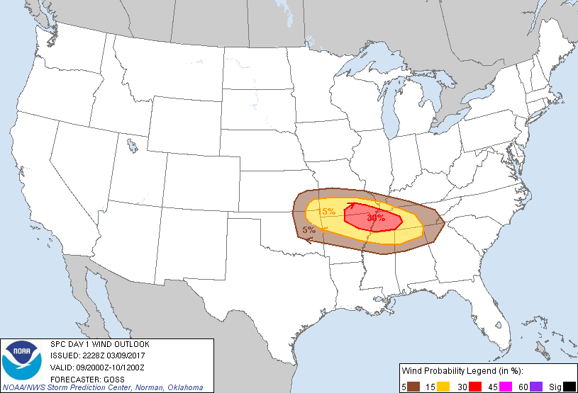
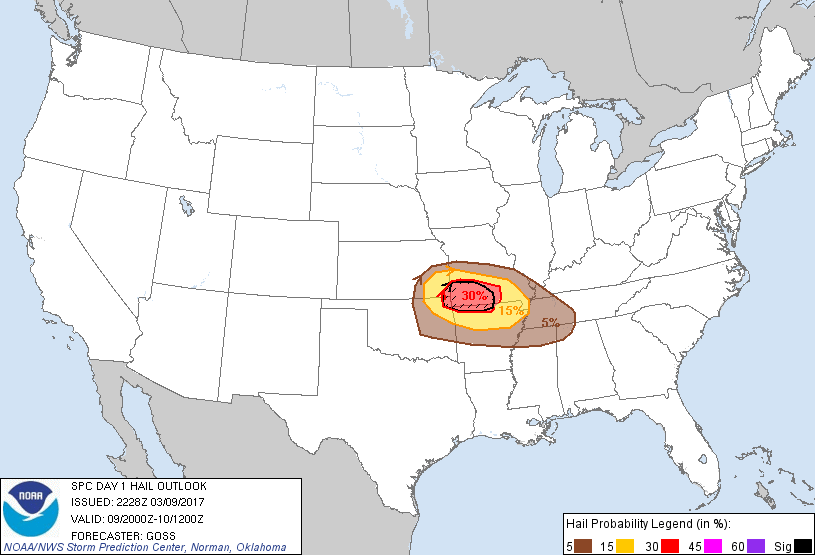
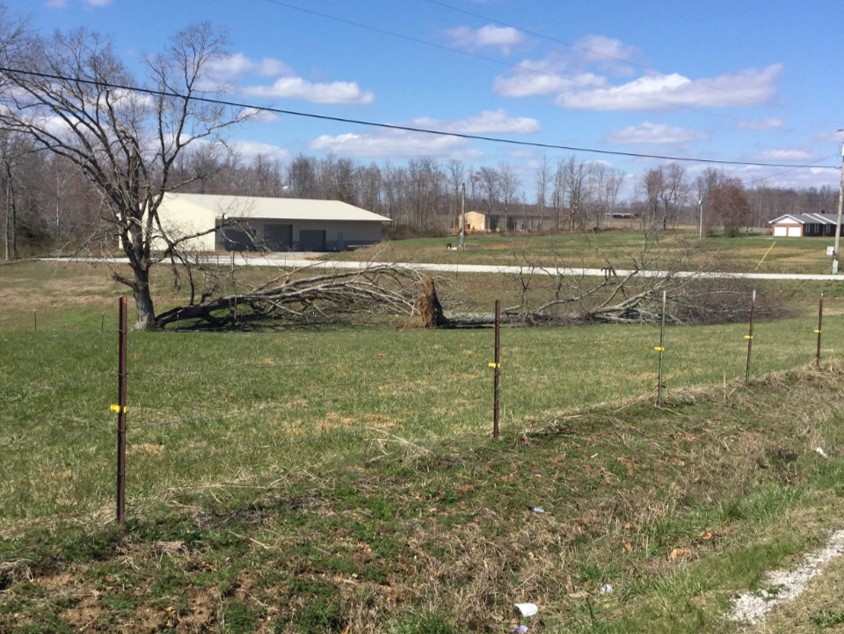
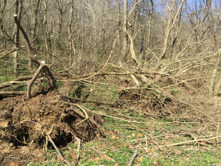
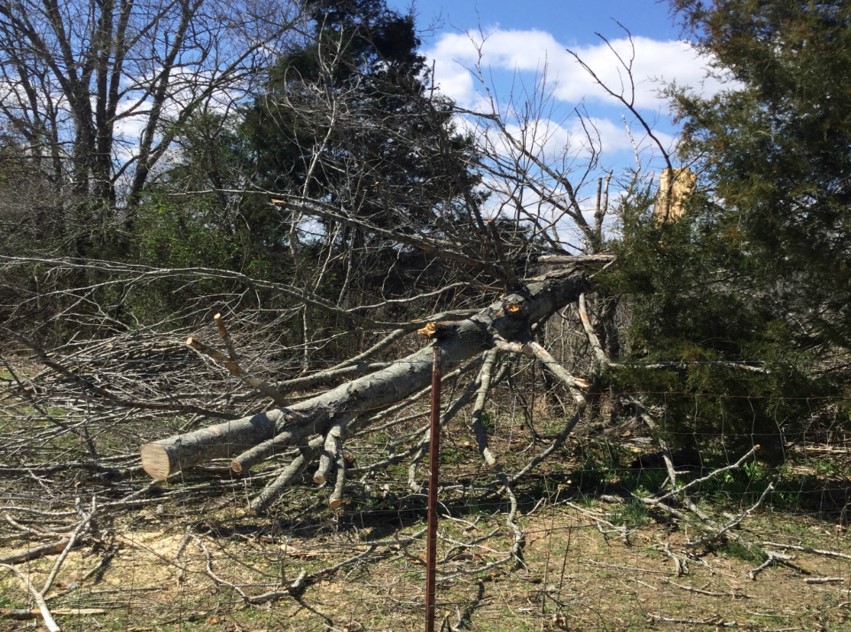
As seen below on the left, a severe thunderstorm watch was issued at 11:20 PM for all of the counties in NWS Huntsville's forecast area. This was in effect until 4:00 am. On the right is a map of storm reports received after these storms pushed through the area. The most widespread effect of this MCS was damaging winds, but enough low-level helicity was in place ahead of the front to produce an isolated EF-1 tornado that affected Moore and Franklin counties in Tennessee. A few instances of large hail were observed as well given the strong forcing with the front and steep mid-level lapse rates.
Severe Thunderstorms Watch #75 was issued at 11:20 PM.
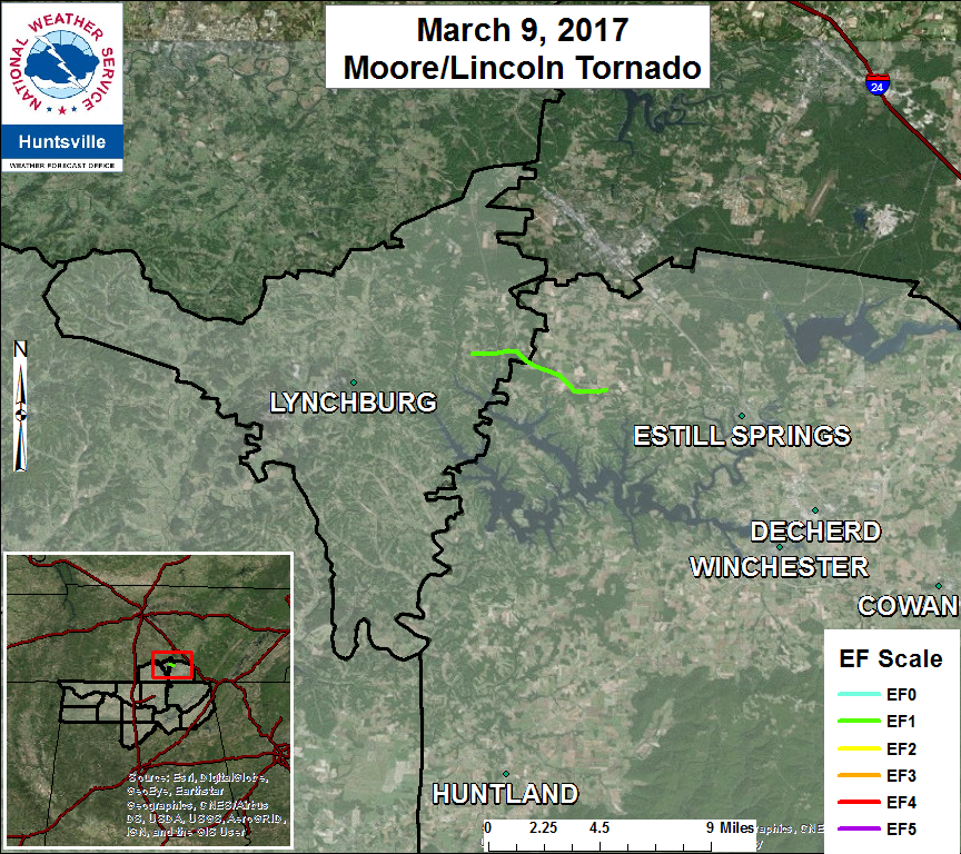
Tornado - LYNCHBURG-ESTILL SPRINGS, TN Moore and Franklin counties TN
Date
March 9, 2017
Time (Local)
11:55 PM CST
EF Rating
EF-1
Est. Peak Winds
100 mph
Path Length
5.18 miles
Max Width
320 yards
Injuries/Deaths
0
Summary:
An EF-1 tornado touched down in approx. 5
miles ENE of Lynchburg, TN. The tornado
continued in a generally ESE direction
across into Franklin County before gusting
out approx. 4 miles W of Estill Springs, TN.