Remnant moisture from Tropical Storm Rachel will persist over portions of the Great Basin and Southwest on Monday, bringing a potential heavy to excessive rainfall risk. Well above average and potentially record breaking temperatures will develop across the Plains and Midwest early this week, spreading into the Lower Mississippi Valley and Southeast midweek. Read More >
|
|
|
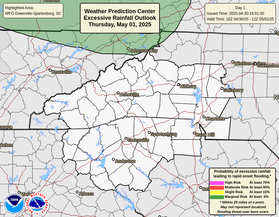
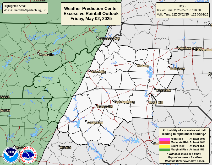
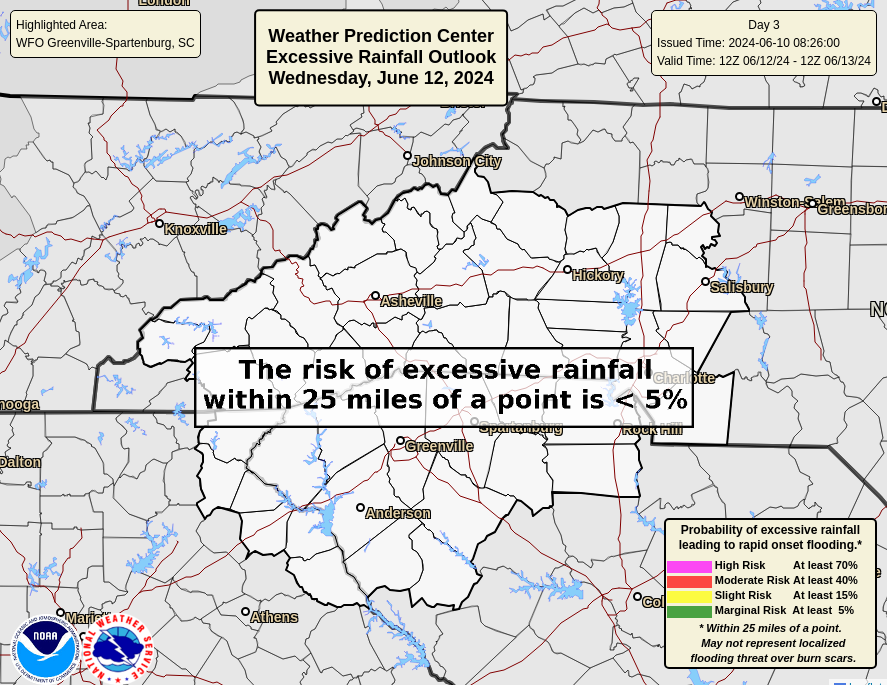
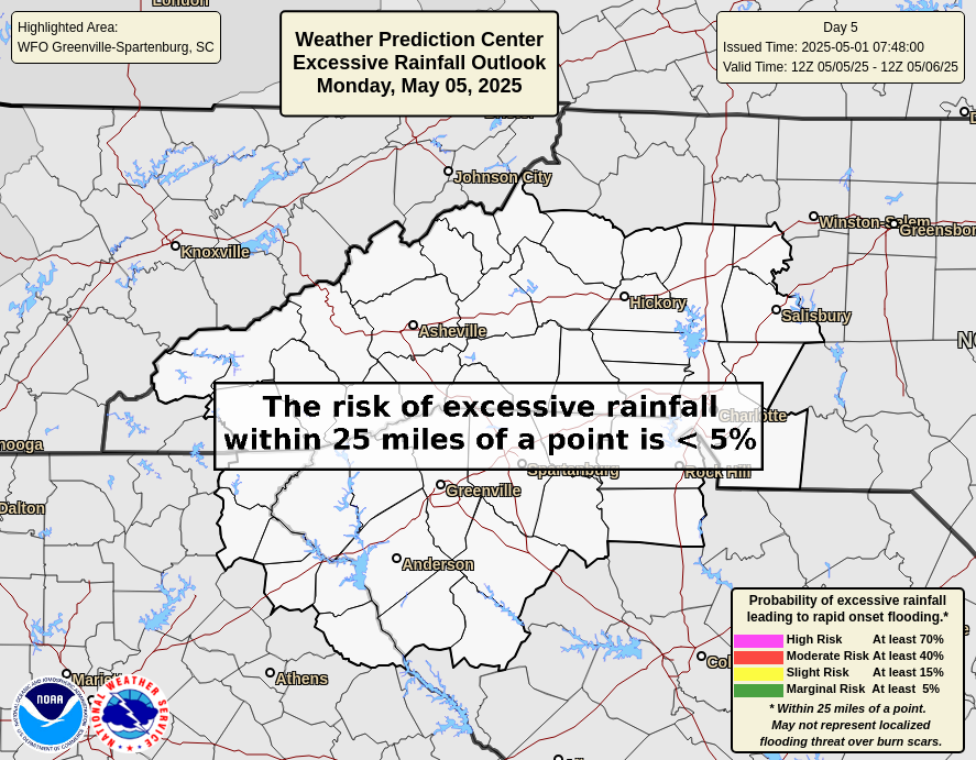
WPC Excessive Rainfall Outlooks (Details)
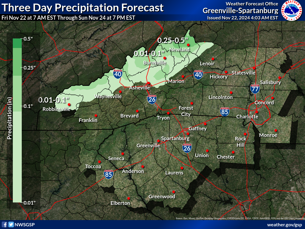
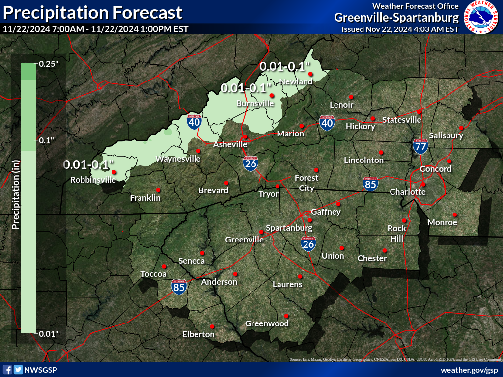
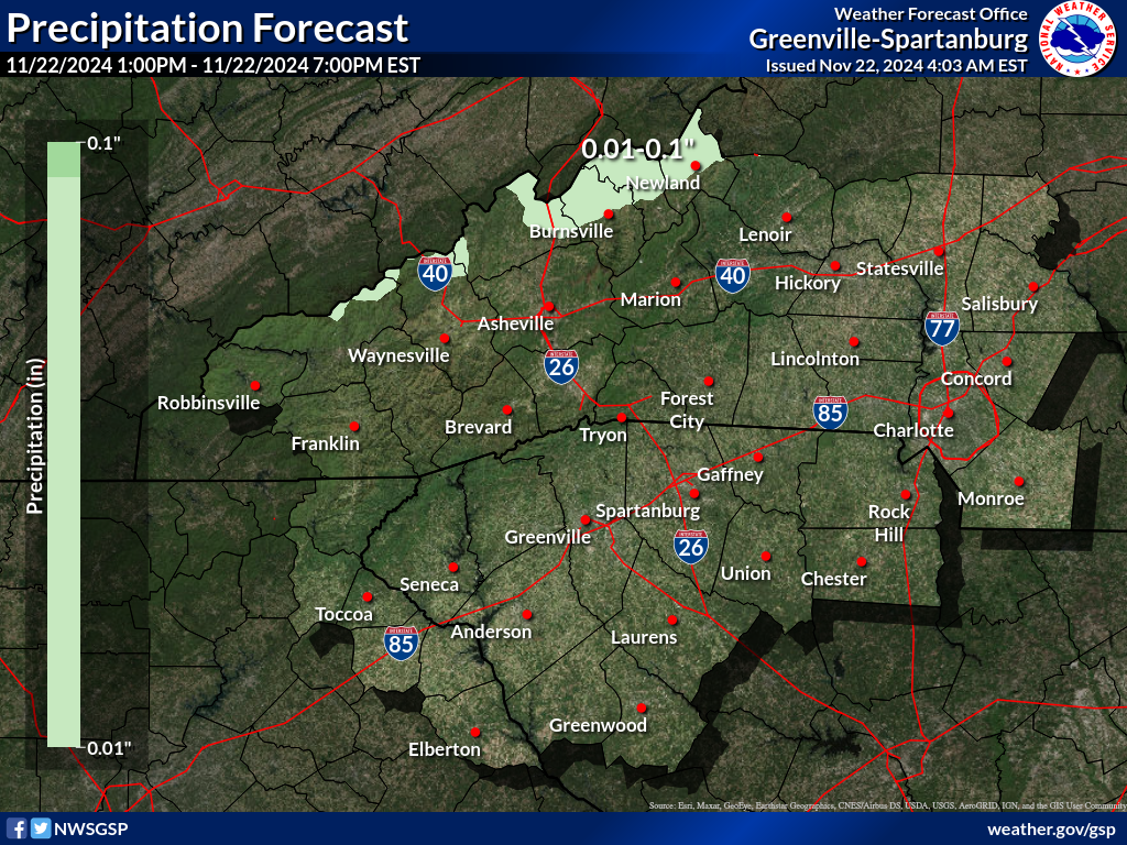
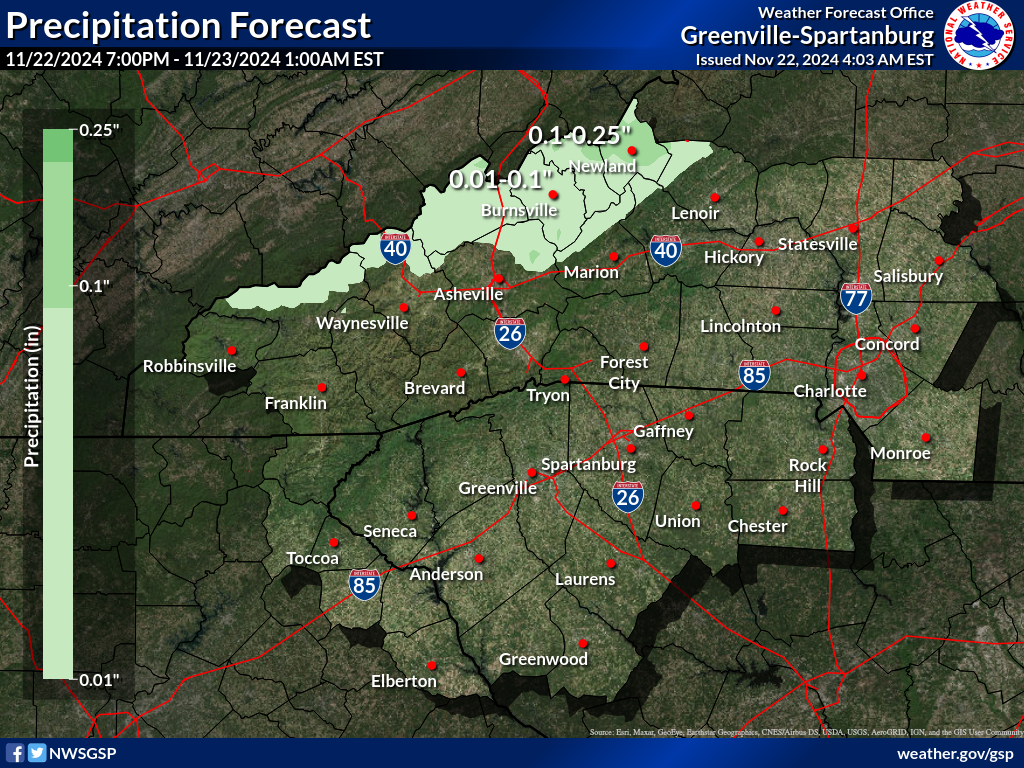
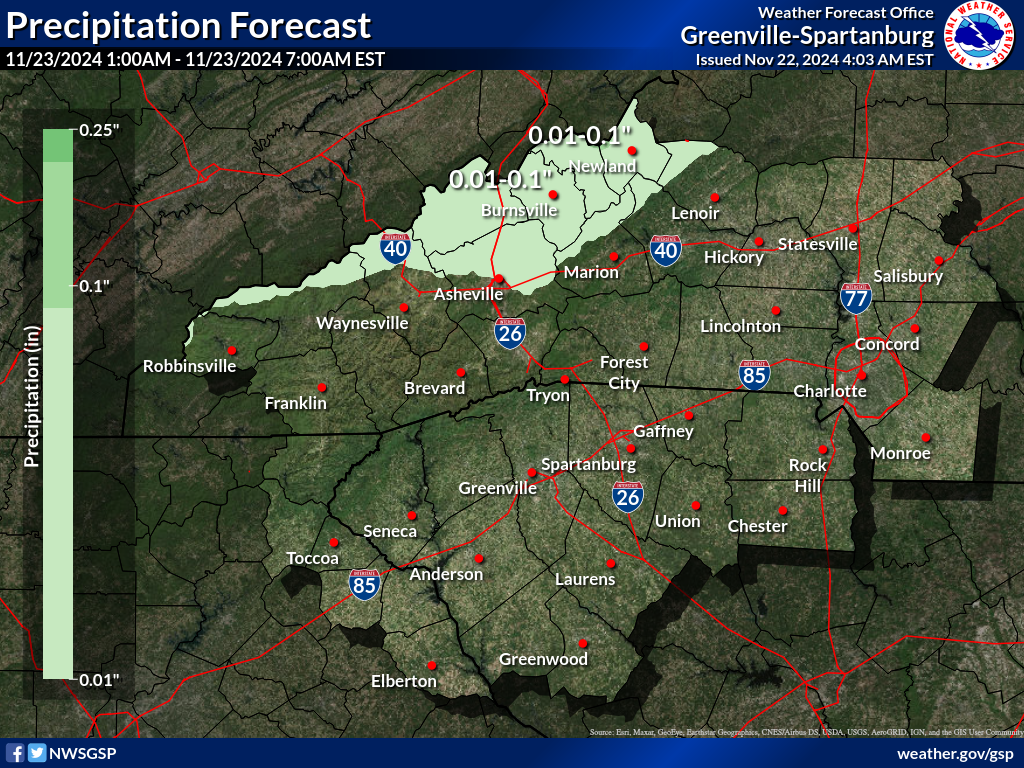
Precipitation Accumulation Forecast (click on thumbnails to display below)
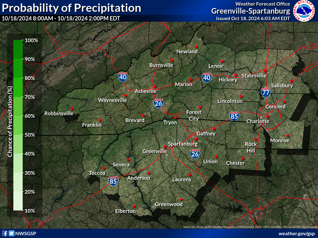
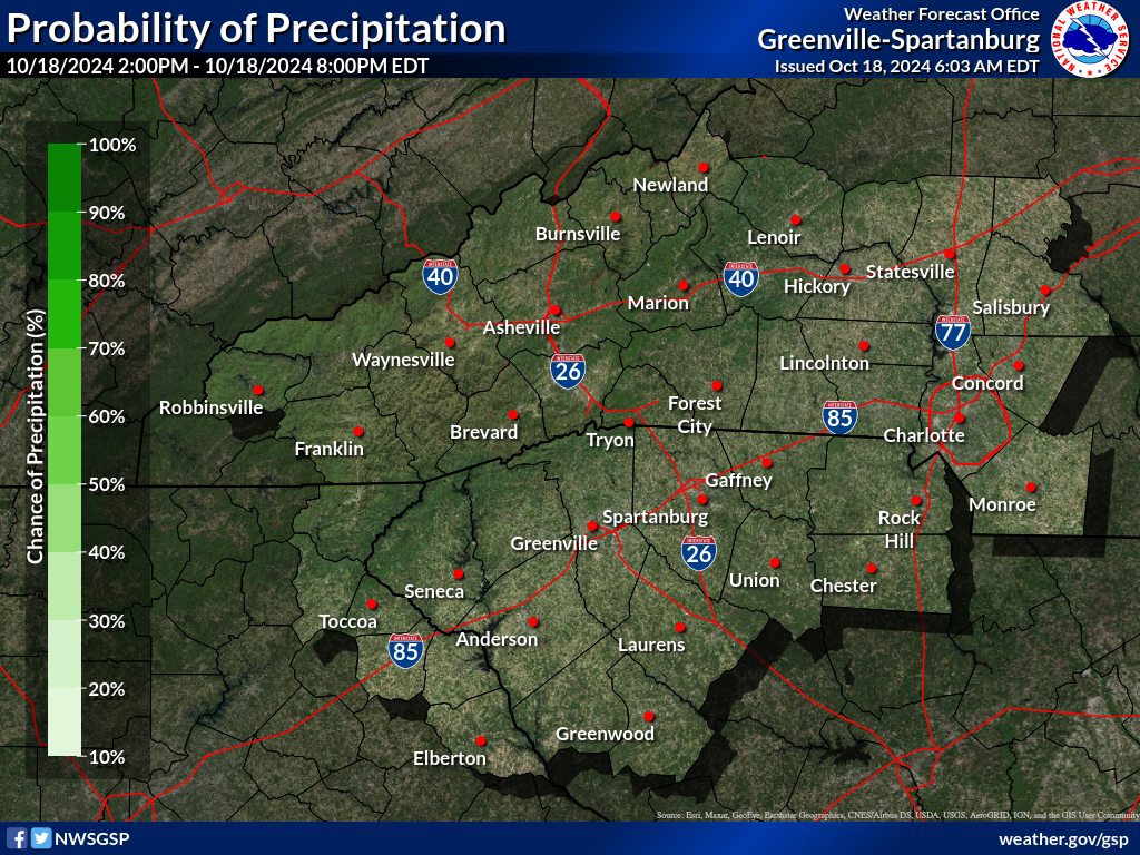
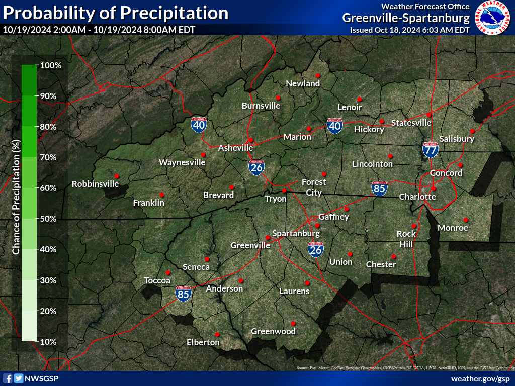
Probability of Precipitation (PoP) (click on thumbnails to display below)
|


 Severe Weather


 Tropical Weather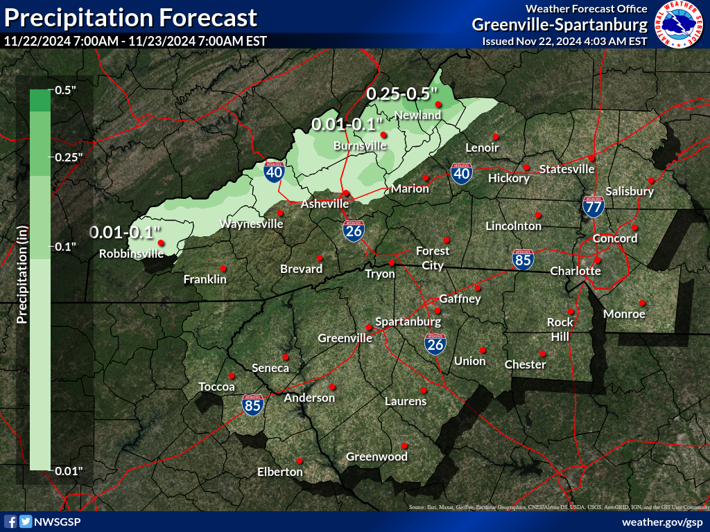


 Radar
Radar Current Weather
 Rivers & Lakes
 Satellite
 Forecast Maps
 Hour by Hour Forecast
 Tropical Weather
 Graphical Hazards
 Weather Hazard Briefing
 Report Severe Weather
 Fire Weather
 Drought
 Recreation Forecasts
 Obs & Text Products
 Forecaster's Discussion
 Climate Data
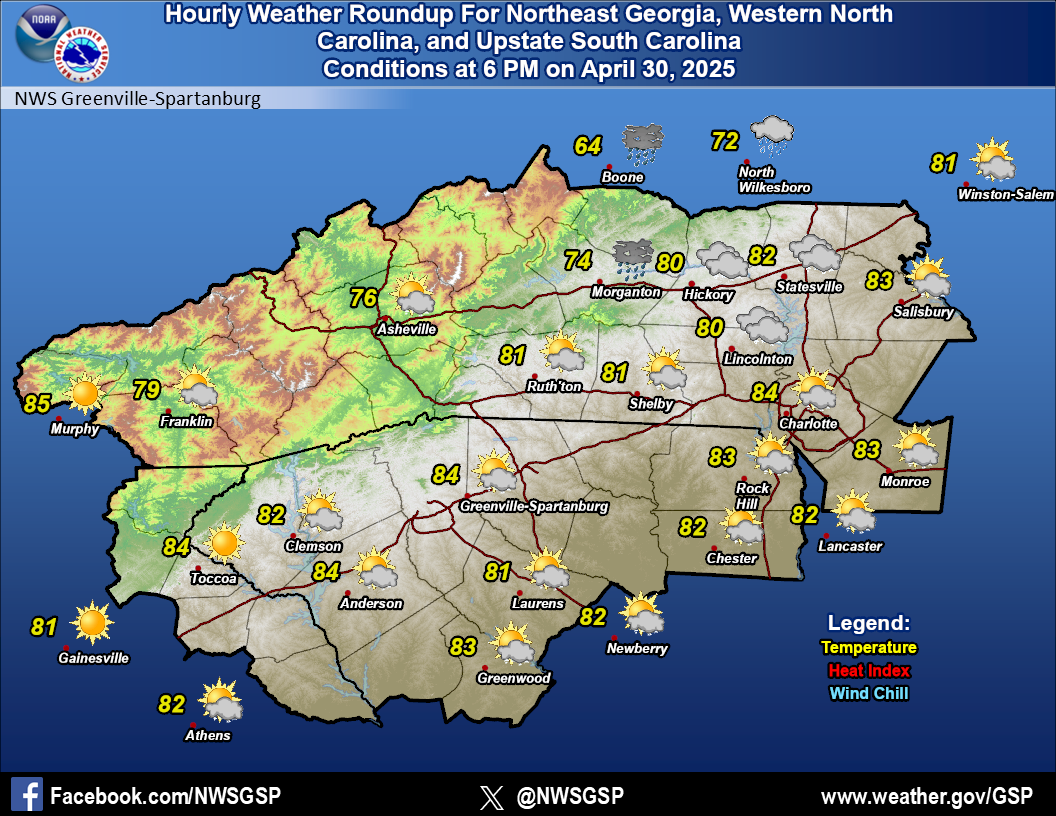 Hourly Weather
 NOAA Weather Radio
 Follow us on X
 Follow us on Facebook
 Follow us on YouTube
 GSP RSS Feed