Grand Forks, ND
Weather Forecast Office
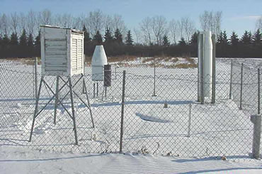
Cooperative Weather Observer
Email now available!
Cooperative Weather Observers now have another option to send us their weather observations--an email account! There may be times when you cannot reach the NWS in Grand Forks via telephone, ROSA or through WXCODER. Perhaps you are away from home and using a different computer. Or using email may just be easiest for you to use.
Whatever the reason, you may now click here to send an email to the NWS in Grand Forks. Please send us your weather information in the following format:
| Station Name Date and Time of your observation Report your observation then as follows: Maximum Temperature / Minimum Temperature / Precipitation / Snowfall / Snow Depth / any remarks. |
For example, see the report below
Grand Forks East, Feb 12 2003 at 7am. High 32, low -2,
precipitation 0.02, snowfall 0.5, snow depth 6, remarks
considerable blowing snow.
Questions? Comments? Send them to the Grand Forks NWS Coop Program manager.
Other options still open to our Cooperative Weather Observers:
-- Internet based reporting ( WxCoder III) or IVROCS.
Observers interested in the other options should contact Grand Forks NWS Coop Program manager.
US Dept of Commerce
National Oceanic and Atmospheric Administration
National Weather Service
Grand Forks, ND
4797 Technology Circle
Grand Forks, ND 58203-0600
701-772-0720
Comments? Questions? Please Contact Us.

