Scattered severe thunderstorms capable of damaging wind gusts and some hail are expected this afternoon and evening from the Upper Ohio River Valley into the Northeast, and from the Appalachians into the Mid-Atlantic States. Excessive rainfall from heavy thunderstorms may produce areas of flash flooding from southern New Mexico into the western and northern Gulf Coast into Wednesday. Read More >
Overview
|
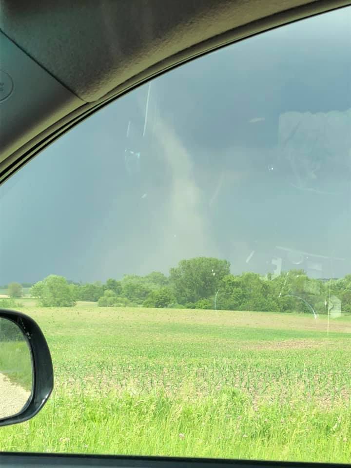
Thunderstorms developed ahead of a cold front Sunday afternoon across portions of eastern Iowa. The storms were weak, but still were able to produce three brief landspout tornadoes over the region. Additionally, brief heavy rain and wind gusts up to 50 mph were seen with the stronger storms. |
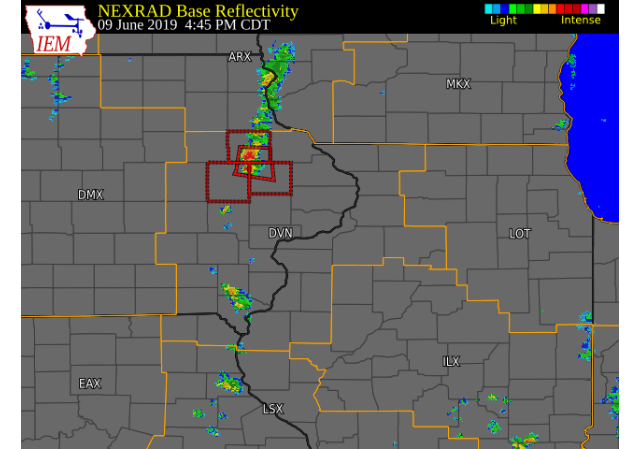 RADAR LOOP (Courtesy: IEM) |
Tornadoes
|
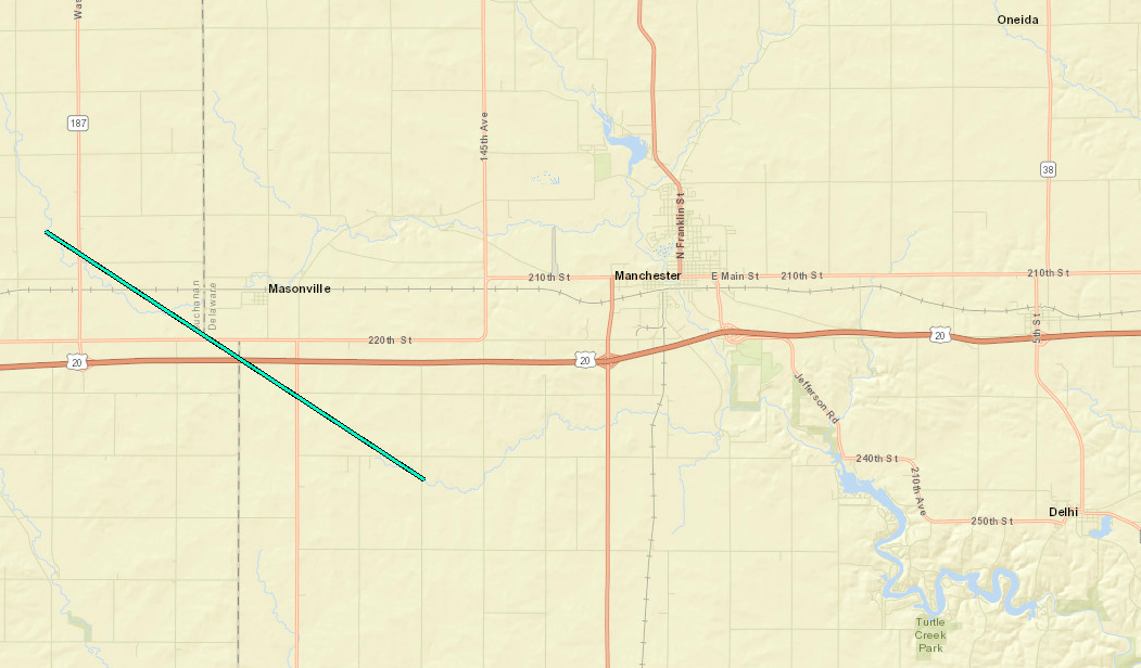
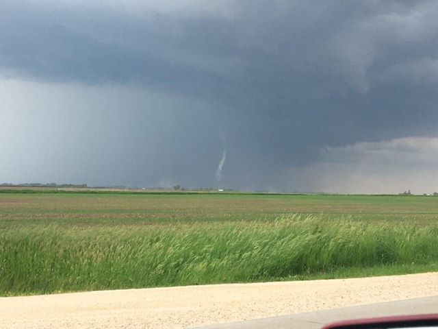
Tornado 1 - Masonville, IA
|
||||||||||||||||
|
||||||||||||||||
|
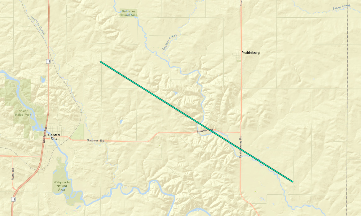
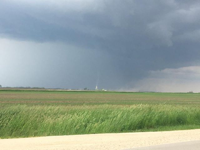
Tornado 2 - 2 NE Central City, IA
|
||||||||||||||||
|
||||||||||||||||
|
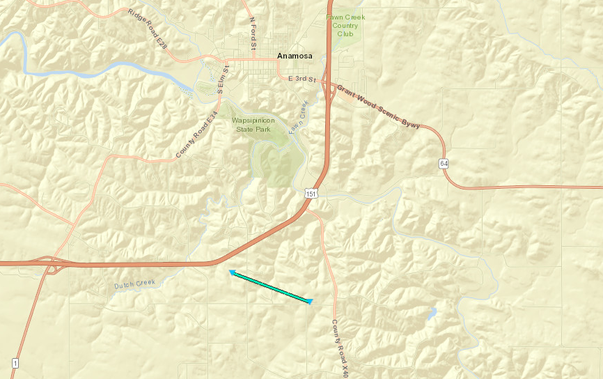
Tornado 3 - Anamosa, IA
|
||||||||||||||||
|
||||||||||||||||
The Enhanced Fujita (EF) Scale classifies tornadoes into the following categories:
| EF0 Weak 65-85 mph |
EF1 Moderate 86-110 mph |
EF2 Significant 111-135 mph |
EF3 Severe 136-165 mph |
EF4 Extreme 166-200 mph |
EF5 Catastrophic 200+ mph |
 |
|||||
 |
Media use of NWS Web News Stories is encouraged! Please acknowledge the NWS as the source of any news information accessed from this site. |
|