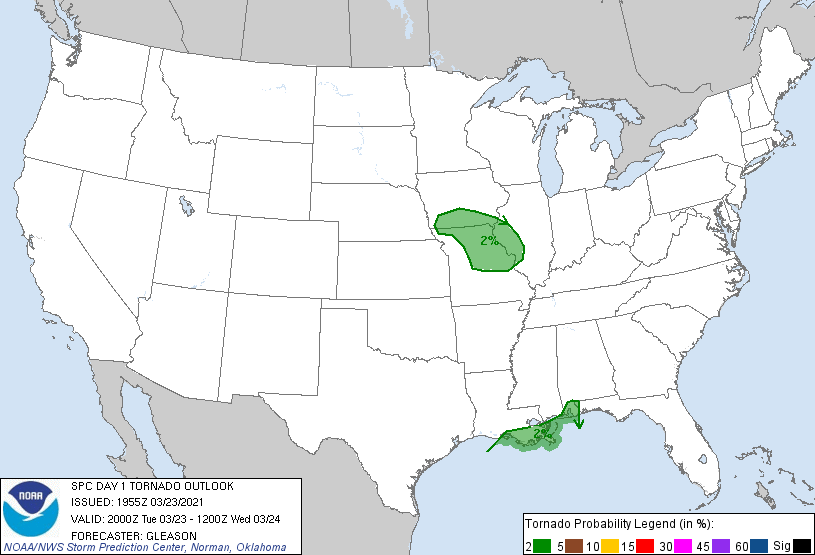
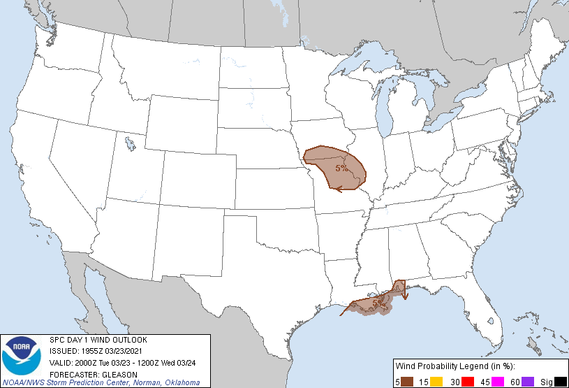
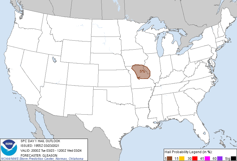
Overview
..TIME... ...EVENT... ...CITY LOCATION... ...LAT.LON...
..DATE... ....MAG.... ..COUNTY LOCATION..ST.. ...SOURCE....
..REMARKS..
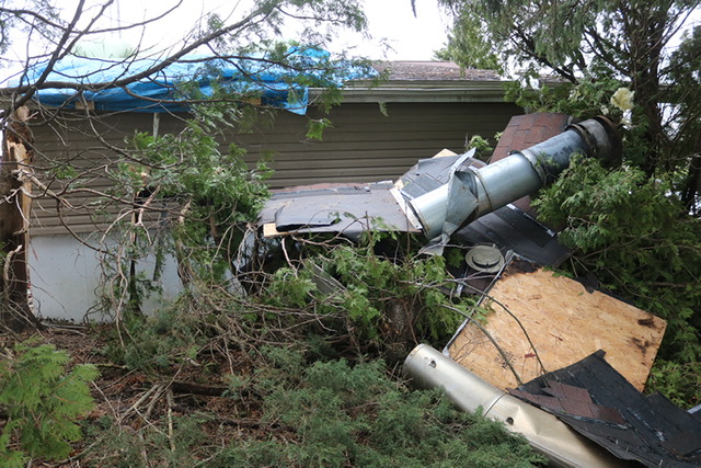
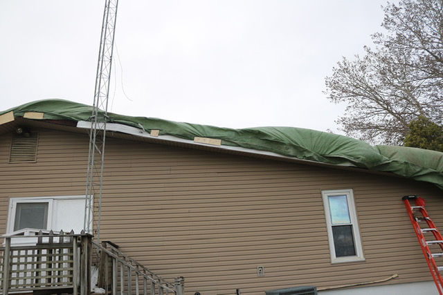
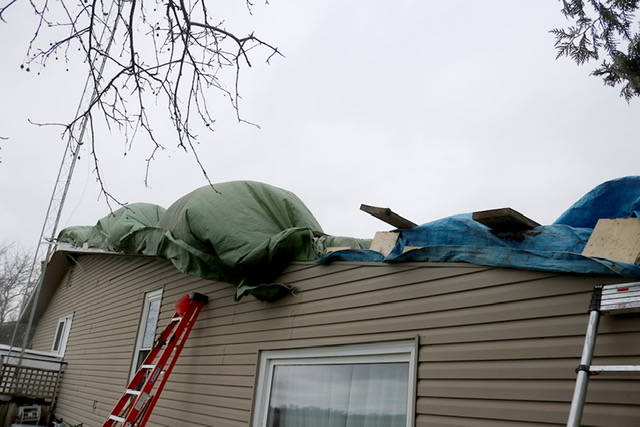
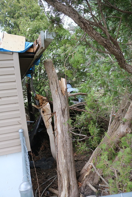
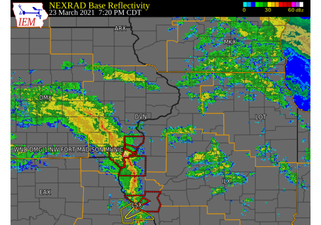
0719 PM TORNADO 1 NW FORT MADISON MUNIC 40.68N 91.35W
03/23/2021 LEE IA NWS STORM SURVEY
A BRIEF TORNADO CAUSED ROOF/TREE DAMAGE AND
DESTROYED A SHED AT A RESIDENCE NORTH OF
TOWN. THE LEE COUNTY EM AND SHERIFF DEPT.
ASSISTED WITH THIS SURVEY.
|
 |
Tornadoes:
|
Tornado 1 - 3 NW FORT MADISON
Track Map 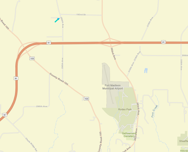 
|
||||||||||||||||
Survey Photo: Pen City Current |
||||||||||||||||
The Enhanced Fujita (EF) Scale classifies tornadoes into the following categories:
| EF0 Weak 65-85 mph |
EF1 Moderate 86-110 mph |
EF2 Significant 111-135 mph |
EF3 Severe 136-165 mph |
EF4 Extreme 166-200 mph |
EF5 Catastrophic 200+ mph |
 |
|||||
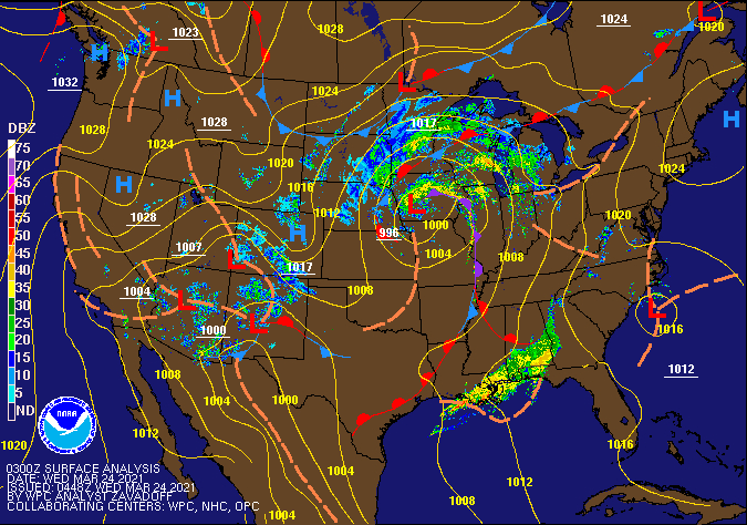
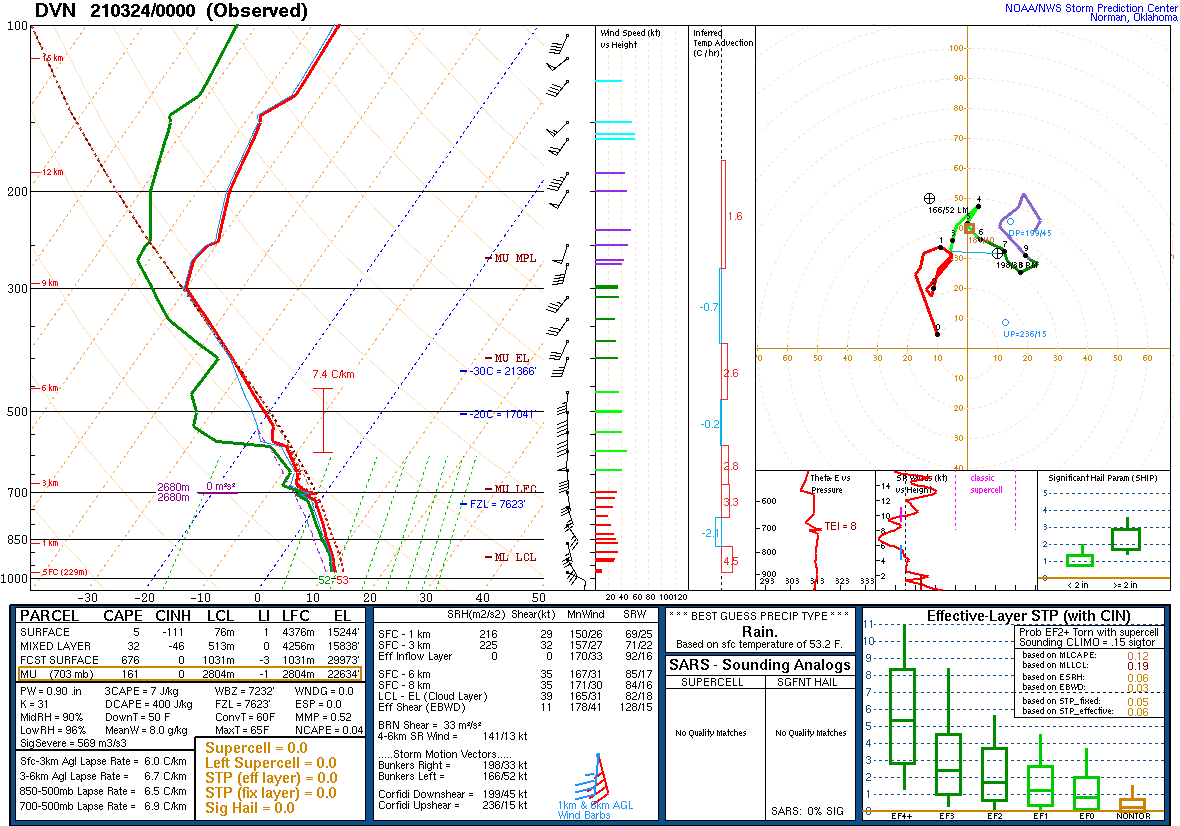
Environment
| 20210323 - SPC Event Review | ||
 |
 |
 |
 |
 |
|
 |
||
|
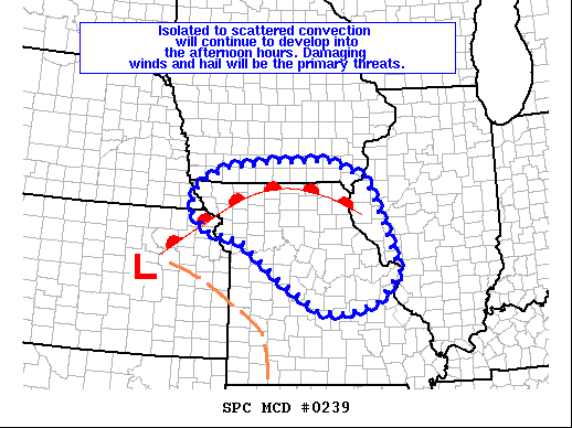
Areas affected...Northern Missouri...southern Iowa...and far western Concerning...Severe potential...Watch unlikely Valid 231744Z - 231945Z Probability of Watch Issuance...20 percent SUMMARY...Isolated to scattered thunderstorm development is expected DISCUSSION...Visible satellite trends through the late morning and Recent analyses also reveal marginal, but sufficient, effective bulk ..Moore/Hart.. 03/23/2021 ...Please see www.spc.noaa.gov for graphic product... ATTN...WFO...ILX...LSX...DVN...SGF...DMX...EAX...OAX...TOP... LAT...LON 38009235 38659336 39399432 39579526 40049569 40539550 |
||
 |
Media use of NWS Web News Stories is encouraged! Please acknowledge the NWS as the source of any news information accessed from this site. |
|