Isolated severe storms capable of hail and gusty winds are possible mainly this evening across portions of the mid-Mississippi Valley. Clusters of thunderstorms may produce isolated flash flooding in the Florida peninsula. Elevated fire weather risk is possible in the Northern Plains into western Minnesota. Read More >

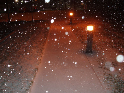
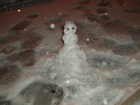
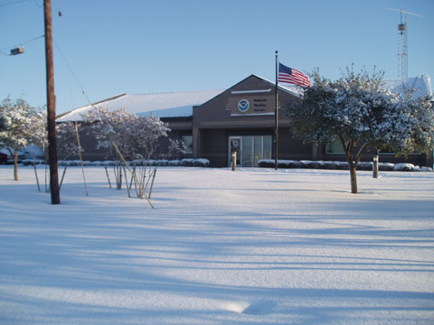
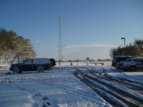
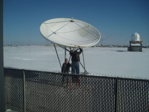
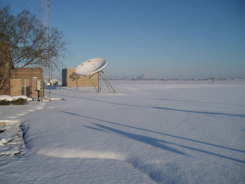
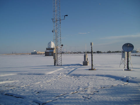
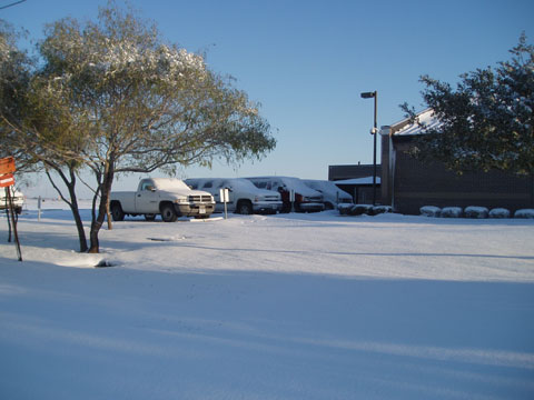
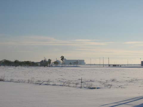
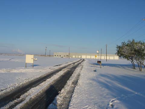
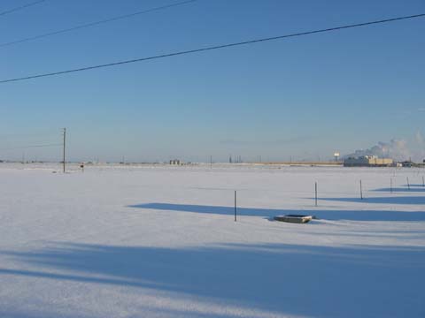
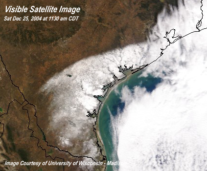
Christmas 2004 will be remembered for the historic snow event that blanketed a large portion of South Texas. Total snowfall accumulations of 4 inches or more occurred over many areas of South Texas during this period. Heavier amounts from 6 to 12 inches were quite common further inland stretching from Duval County northeastward into Victoria and Calhoun Counties.
Officially, 4.4 inches of snow were reported at the Corpus Christi International Airport. This broke the previous 24-hour snowfall record of 4.3 inches set back on February 14, 1895. The 1895 record still stands as the record daily snowfall amount since this recent event started on the 24th (2.3 inches) and ended on the 25th (2.1 inches). This was the second white Christmas ever recorded in Corpus Christi. The other white Christmas occurred back in 1918 when 0.1 inch was reported. Officially, Victoria received a snowfall total amount of 12.5 inches for this event. This also broke the previous 24-hour snowfall record which was 12.0 inches set back in February 14, 1895. However, the 1895 record still stands as daily snowfall of 2004 was split over a two day period (10.0 inches on Dec 24th and 2.5 inches on Dec 25th.) This is the first known white Christmas for the Victoria area.
 |
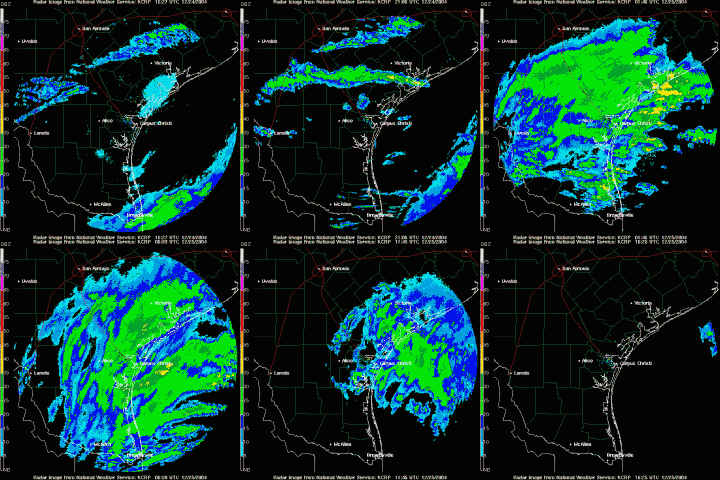 |
An arctic airmass was already well entrenched across South Texas on Christmas Eve. Temperatures remained primarily in the lower to middle 30s for much of the day on the 24th. Temperatures above the surface indicated that it would be cold enough to produce frozen precipitation. A very strong upper level disturbance located in northern Mexico continued to approach South Texas during the day and evening hours
As the strong disturbance got even closer to South Texas by the late afternoon and evening hours on the 24th, more significant snowfall began to develop. Initially, the bulk of the snow developed around 400 PM CST on the 24th across deep South Texas to the south of Hebbronville and Falfurrias. Over the next several hours, this band of snow blossomed northward across most of South Texas. For several hours, this snow was mixed with sleet across locations close to the coast such as Corpus Christi. An eventual changeover to all snow occurred across even coastal locations during the evening hours as colder air was drawn south, and as cooling from evaporation occurred. Evaporative cooling was enhanced given the surface dew points in the teens. Widespread light to moderate snow with occasional heavy snow persisted from the evening on the 24th until sunrise Christmas morning. Lightning was again evident during the evening hours on the 24th. The snow ended from west to east early Christmas morning as the upper level disturbance quickly moved across South Texas and into the northwest Gulf of America.
