
Heat expands across the Desert Southwest, Plains, Mississippi Valley and Midwest into Monday. Fire weather concerns continue for portions of the Intermountain West. Active monsoonal moisture fuels thunderstorms over the Southwest with possible flash flooding. Tropical cyclone Fausto in the Pacific, should weaken as it approaches Hawaii; Dangerous surf, swells and rip currents are expected. Read More >
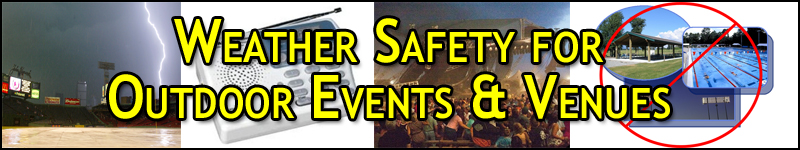
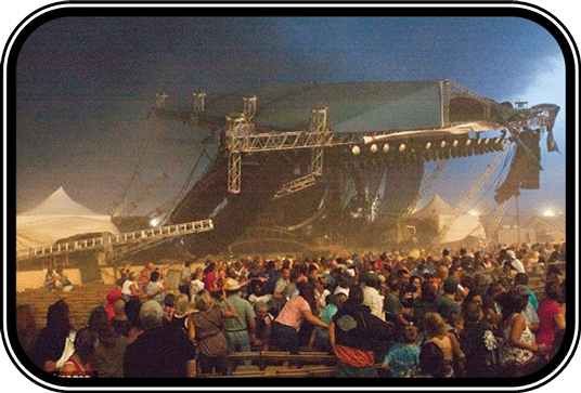
Whether it is sporting events, concerts, or festivals, outdoor events are all impacted by the weather. When hazardous weather approaches it can put the lives of hundreds of people in jeopardy. Being prepared for hazardous weather at outdoor events is essential. Large hail, damaging winds, lightning, flash floods, and tornadoes are all weather hazards that kill hundreds of people every year. To keep attendees, fans, athletes, and employees as safe as possible, event organizers need to be weather ready. What can you do to prepare?
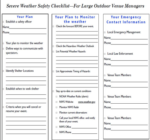
The brochure and checklist (link on left) will help you develop a basic plan for your outdoor venue.
Be prepared to postpone your event and shelter your spectators if hazardous weather threatens your outdoor venue! At this point, it is critical to know what locations can be used as a shelter, and how your spectators will get there. Have a means to notify attendees should severe weather threaten. Do not wait until the last minute; give plenty of time for people to reach a safe destination.
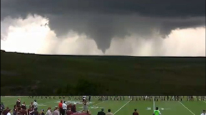
During a severe thunderstorm or tornado, the safest place to be is an underground shelter or basement. Small windowless interior rooms or hallways on the lowest level of a sturdy building are the best alternatives. Portable buildings are NOT safe during tornadoes. For more information on Severe Weather Safety check this link. 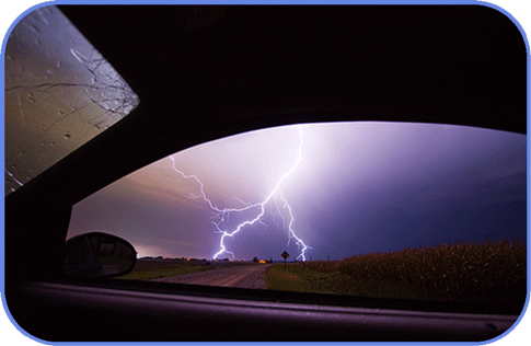
If you can hear thunder, you are in range of being struck by lightning. At this point you will want to immediately postpone your event and move people indoors or to their vehicles. Fully enclosed metal vehicles can offer protection from lightning during a thunderstorm as long as the metal framework of the vehicle is not touched. For more information on Lightning Safety check this link.
A watch is used when the risk of hazardous weather event has increased significantly, but its occurrence, location, and/or timing is still uncertain. It is intended to provide enough lead time so that those who need to set their plans in motion can do so.
A warning is issued when a hazardous weather event is occurring, is imminent, or has a very high probability of occurring. A warning is used for conditions posing a threat to life or property.

