|
Weather Story
 |
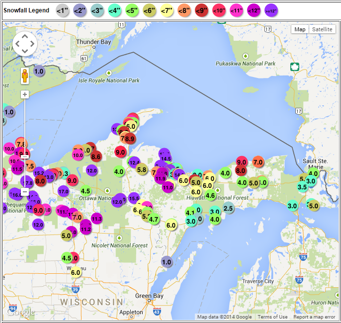
Snow Reports
|
||||
|
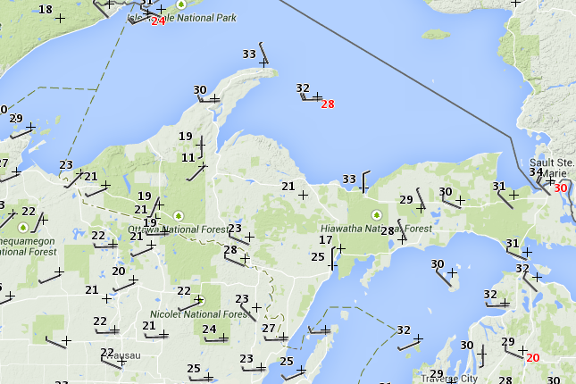
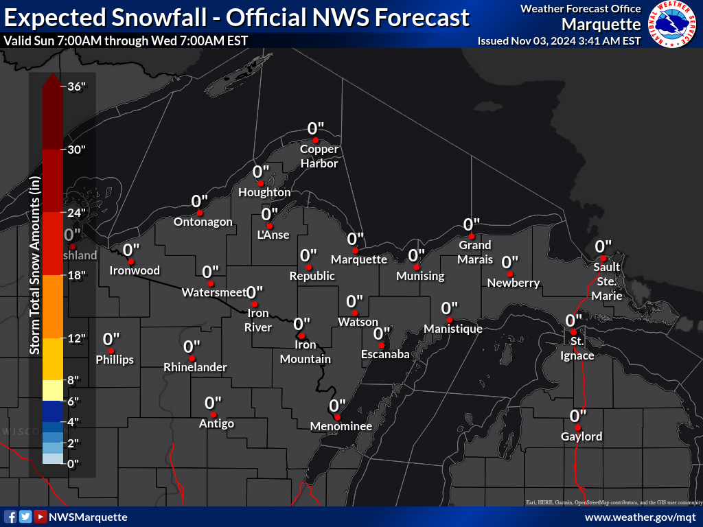
Latest Snowfall Forecast
 |
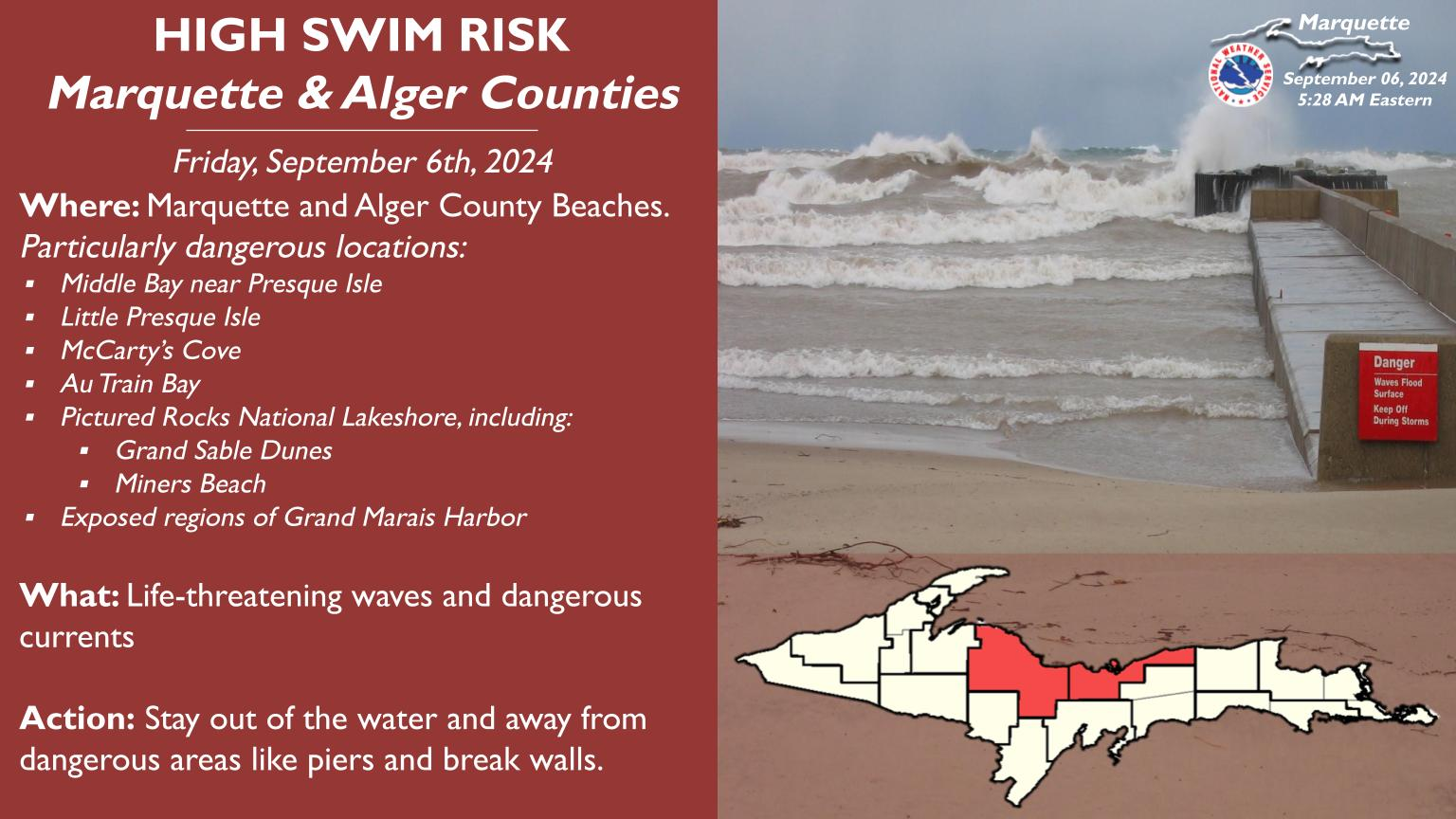
Current Conditions
|
Gogebic and Ontonogon Counties
|
US-2 @ M-28 (Wakefield) 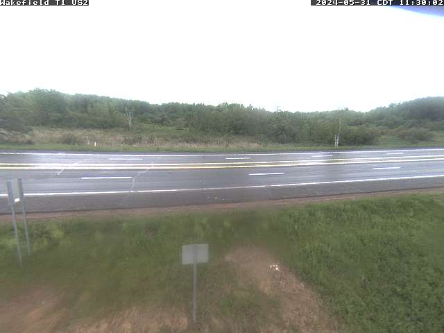 |
M-64 @ County Park Rd (Merriweather) 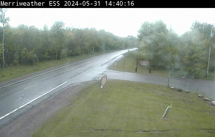 |
M-64 @ 107th Engineers (Silver City) 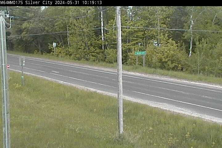 |
M-64 @ US-45 (Ontonagan) 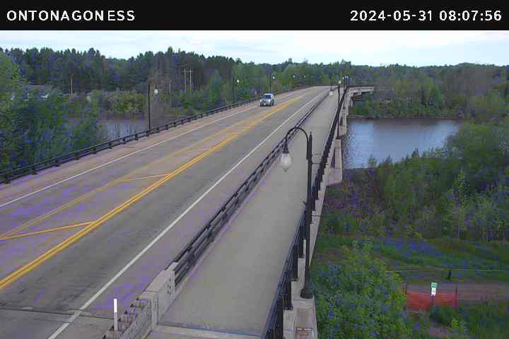 |
M-45 @ US-45/M-26 (Rockland) 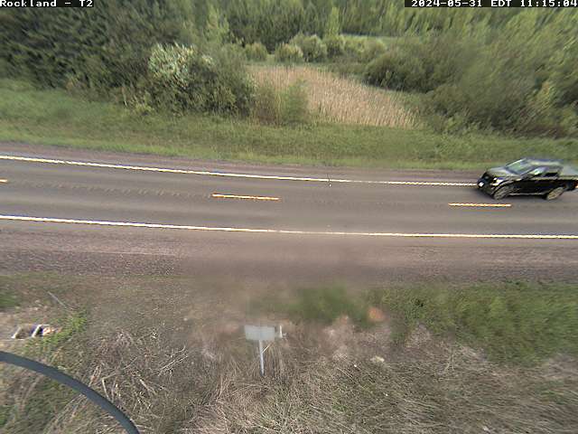 |
US-2 @ US-45 (Watersmeet) 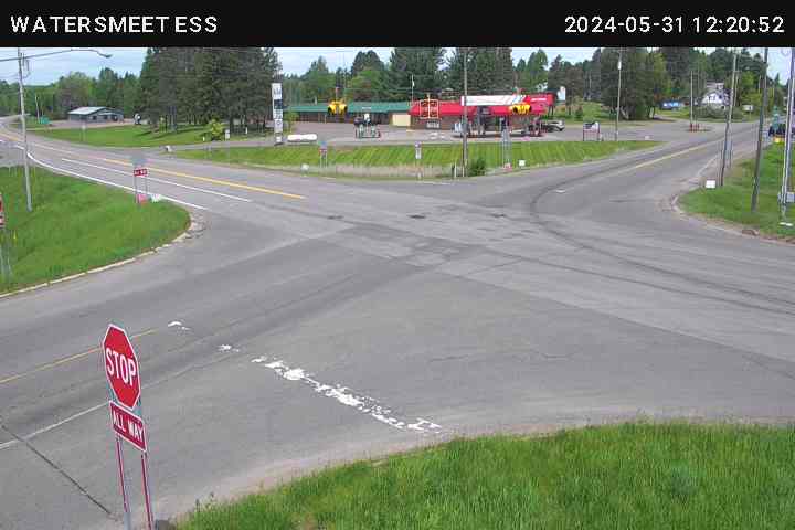 |
Houghton and Keweenaw Counties
|
M-28 @ Houghton/Ontonagan County Line  |
M-26 @ Poyhonen Rd (Twin Lakes) 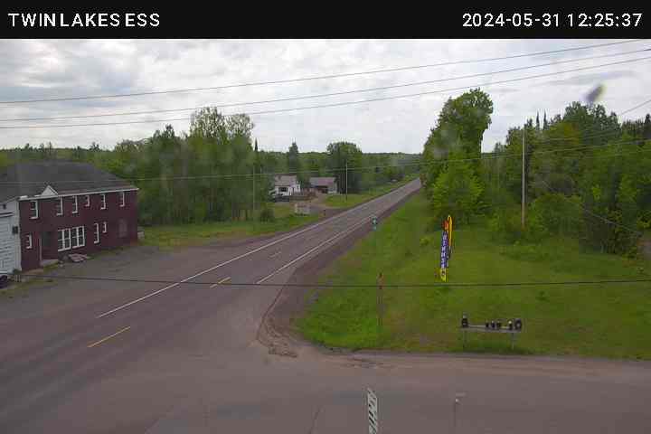 |
US-41 @ Houghton/Baraga County Line 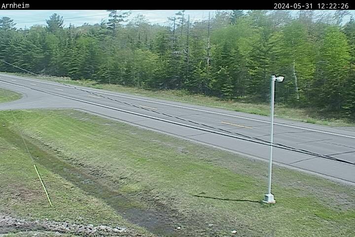 |
US-41 @ Store St (Calumet) 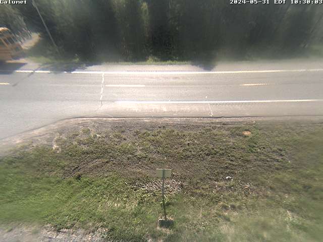 |
US-41 @ M-26 (Pheonix) 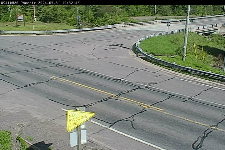 |
Iron, Baraga and Marquette Counties
|
US-2 @ FFH16 (Golden Lake) 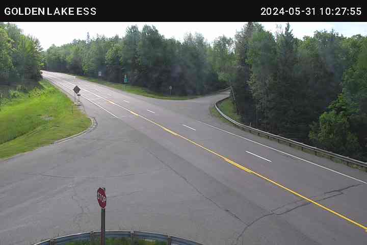 |
US-141 @ Lukes Rd (Covington) 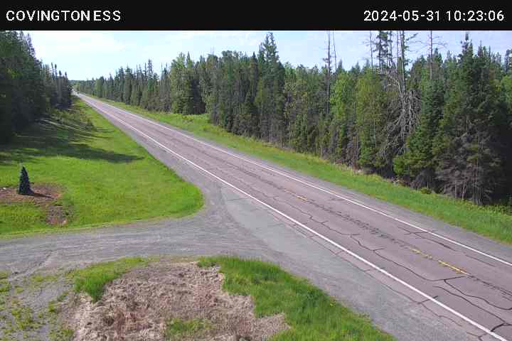 |
M-28 @ Imperial Heights Rd (Michigamme) 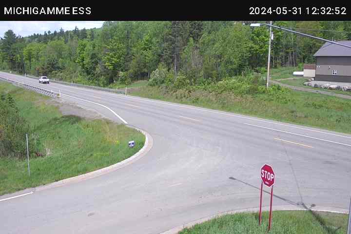 |
M-95 @ Marquette/Dickenson County Line  |
M-35 @ M-553 (Gwinn) 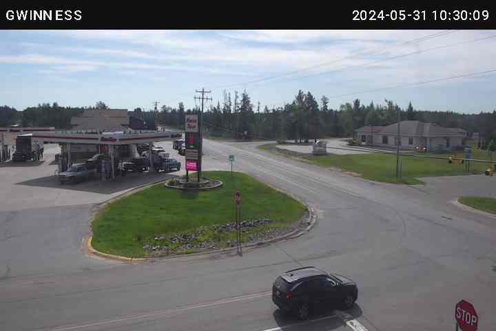 |
M-28 @ Roadside Park (Harvey) 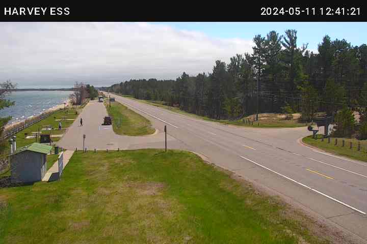 |
M-94 @ Marquette/Alger County Line)  |
US-41 @ Marquette/Alger County Line)  |
Menominee and Delta Counties
|
US-2 @ N 44 Rd (Hermansville) 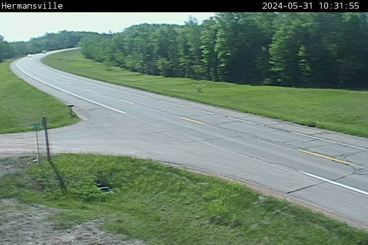 |
M-35 @ Menominee/Delta County Line)  |
US-41 @ Escanaba River Bridge  |
US-2 @ Rapid River  |
US-41 @ Delta/Alger County Line  |
Alger and Schoolcraft Counties
|
M-28 @ Forest Lake Rd (Au Train) 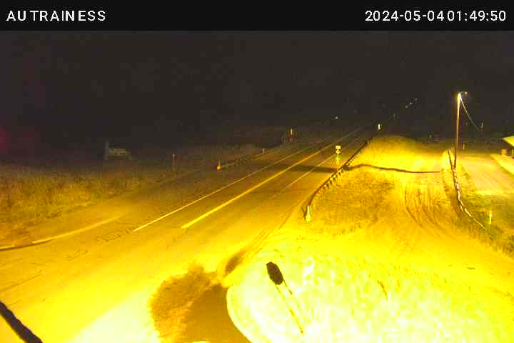 |
M-28 @ Old Golf Course Rd 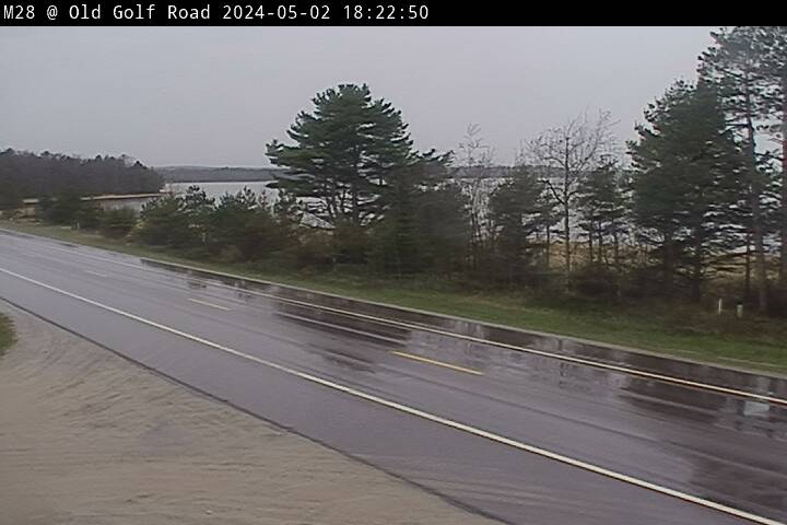 |
M-94 @ Alger/Schoolcraft County Line  |
M-28 @ Seney Rest Area 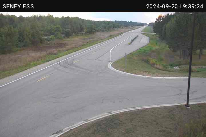 |
US-2 @ County Rd 442 (Cooks) 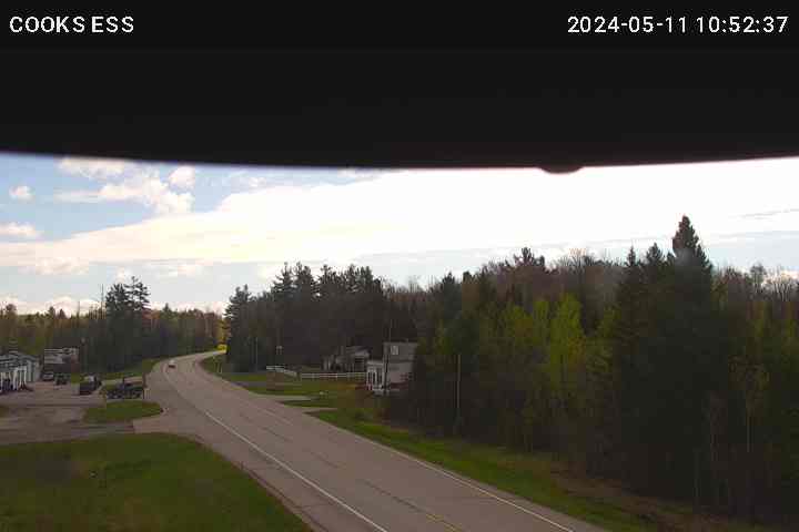 |
US-2 @ Tannery Rd (Manistique) 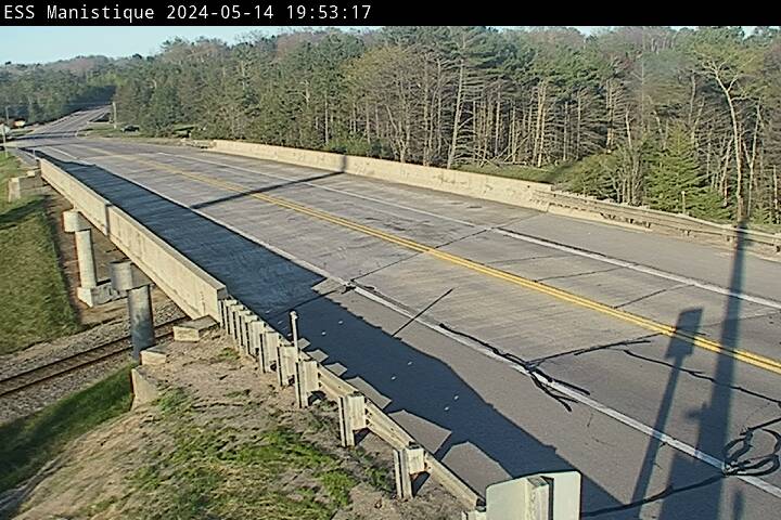 |
US-2 @ M77 (Blaney Park) 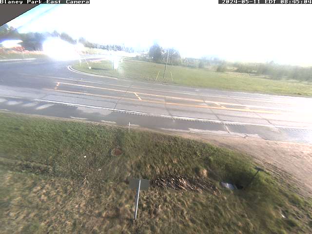 |
Chippewa, Luce and Mackinac Counties
|
M-123 @ Luce/Chippewa County Line 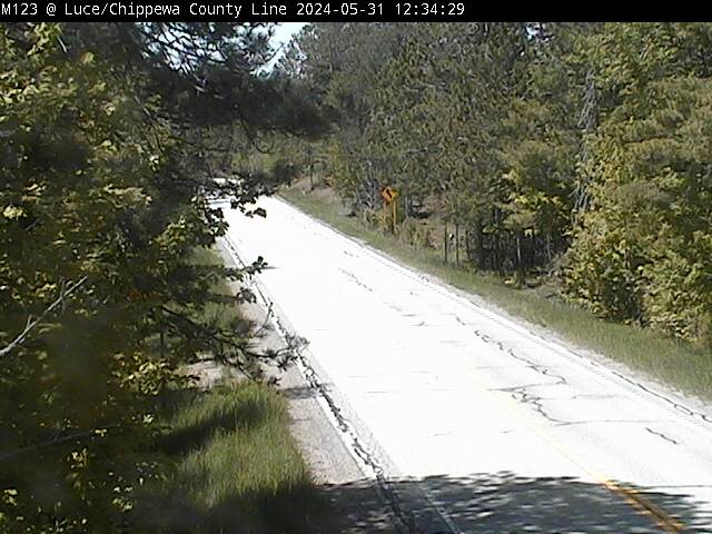 |
M-28 @ County Road 381 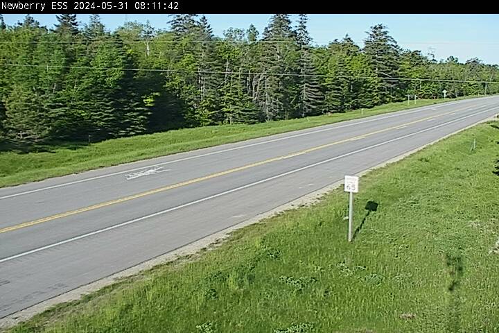 |
US-2 @ Greenwald Rd (Engadine) 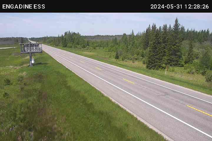 |
US-2 @ Wildwood Ln (Brevort) 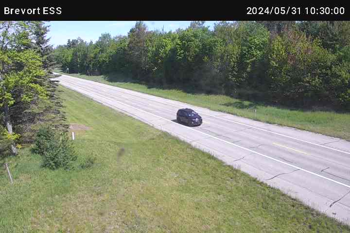 |
I-75 @ South of Castle Roack Rd (St. Ignace) 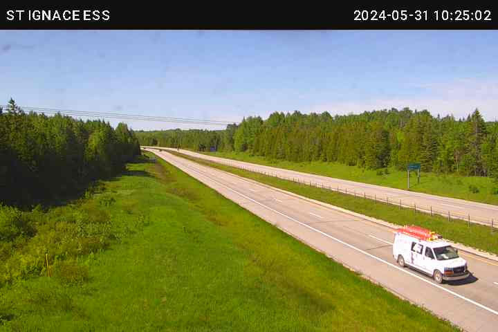 |
I-75 @ M-48 (Rudyard)  |
M-28 @ I-75 (Dafter) 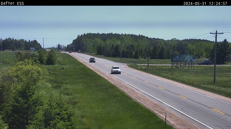 |
Note: The National Weather Service is not responsible for the content, timeliness or reliability of the webcam images. The images are provided as an aid to evaluate snowfall and conditions at various locations across the local area.
| Tweets by @NWSMarquette |
| Road Conditions | Safety/Prepardness |
Phone numbers and web sites for road conditions:
|
 |