There are no watches, warnings, or advisories at this time.
Today's Outlook
Rip Current Risk
Forecast
Climate
Click/tap image to enlarge | Hot and humid conditions continue, with highs in the upper 80s to low 90s at the coast and low 90s inland. Isolated to scattered showers and storms will develop this afternoon/evening, with greatest shower/storm chances (up to 50-60%) forecast along to west of the I-4 corridor later in the day into early evening.
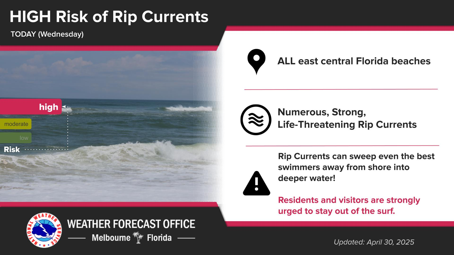
Click/tap image to enlarge | A Moderate Risk of life-threatening rip currents exists at all central Florida Atlantic beaches today. Always swim near a lifeguard and never enter the water alone!


 Interactive Radar
 Regional Satellite
 Severe Weather