Memphis, TN
Weather Forecast Office
5-Day River Flood Outlook
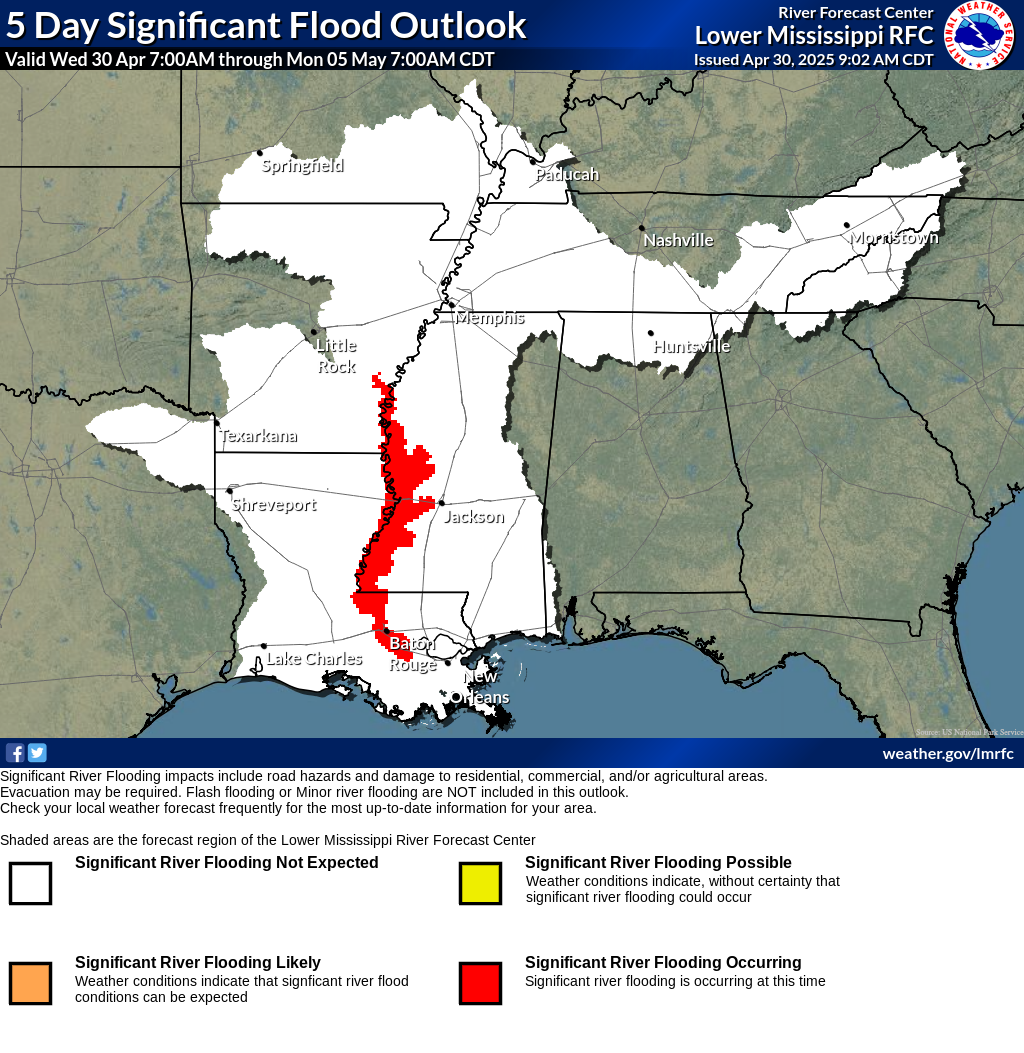
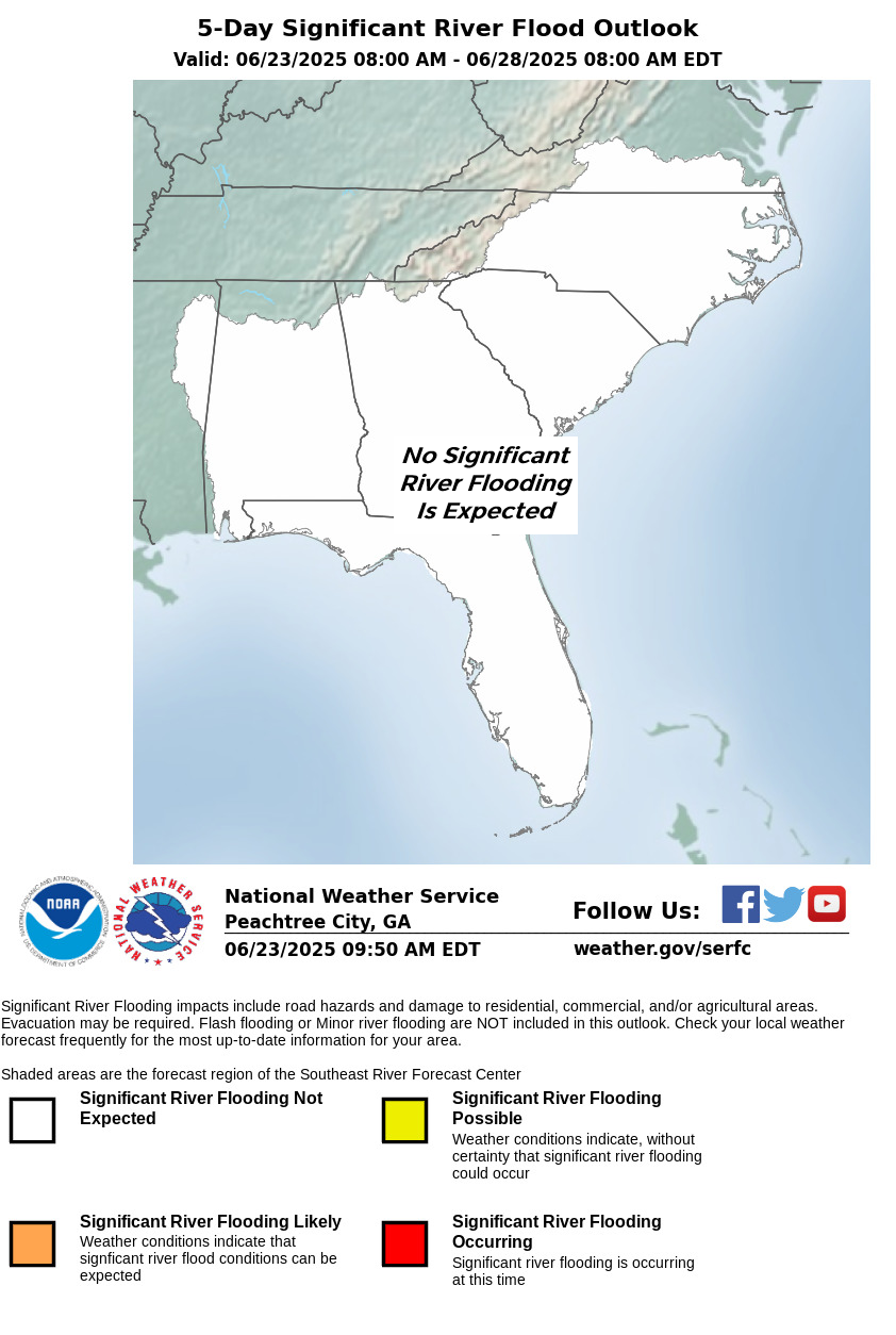
The product identifies areas where there is a potential for significant river flooding over the next 5 days. It is intended to provide a general outlook for significant river flooding. It is not intended to depict all small-scale events such as localized flooding and/or flash flooding.
River Flood Outlook's covering the MidSouth can be found at the Lower Mississippi River Forecast Center's website and the Southeast River Forecast Center's website. The River Flood Outlook is intended to alert emergency managers and others that a potential for river flooding exists. Official flood forecasts will continue to be issued by weather forecast offices.
Questions or comments? Contact Katie Dedeaux, NWS Memphis Service Hydrologist.
| Lower Mississippi River Forecast Center | Southeast River Forecast Center |
 |
 |
CURRENT HAZARDS
Briefing Page
Outlooks
Submit a Storm Report
Submit a Storm Photo
View Storm Report
Spot Forecast Request
Hazard Outlook
FORECASTS
Local
Graphical
Probabilistic
Precipitation
Aviation
Fire
Severe Weather
Winter Weather
Tropical Weather
Air Quality
US Dept of Commerce
National Oceanic and Atmospheric Administration
National Weather Service
Memphis, TN
7777 Walnut Grove Road, OM1
Memphis, TN 38120
(901) 544-0399
Comments? Questions? Please Contact Us.

