
Heat expands across the Desert Southwest, Plains, Mississippi Valley and Midwest into Monday. Fire weather concerns continue for portions of the Intermountain West. Active monsoonal moisture fuels thunderstorms over the Southwest with possible flash flooding. Tropical cyclone Fausto in the Pacific, should weaken as it approaches Hawaii; Dangerous surf, swells and rip currents are expected. Read More >
Southeast RFC
River Forecast Center
SERFC River Flood Summary: Minor: 0 (0%)
Moderate: 0 (0%)
Major: 0 (0%)
Use the map below to view forecast locations experiencing flooding and link to detailed forecast information.
US Dept of Commerce
National Oceanic and Atmospheric Administration
National Weather Service
Southeast RFC
4 Falcon Drive
Peachtree City, GA 30269
770-486-0028
Comments? Questions? Please Contact Us.


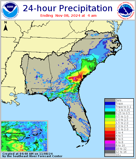 Precipitation for past 24 hours
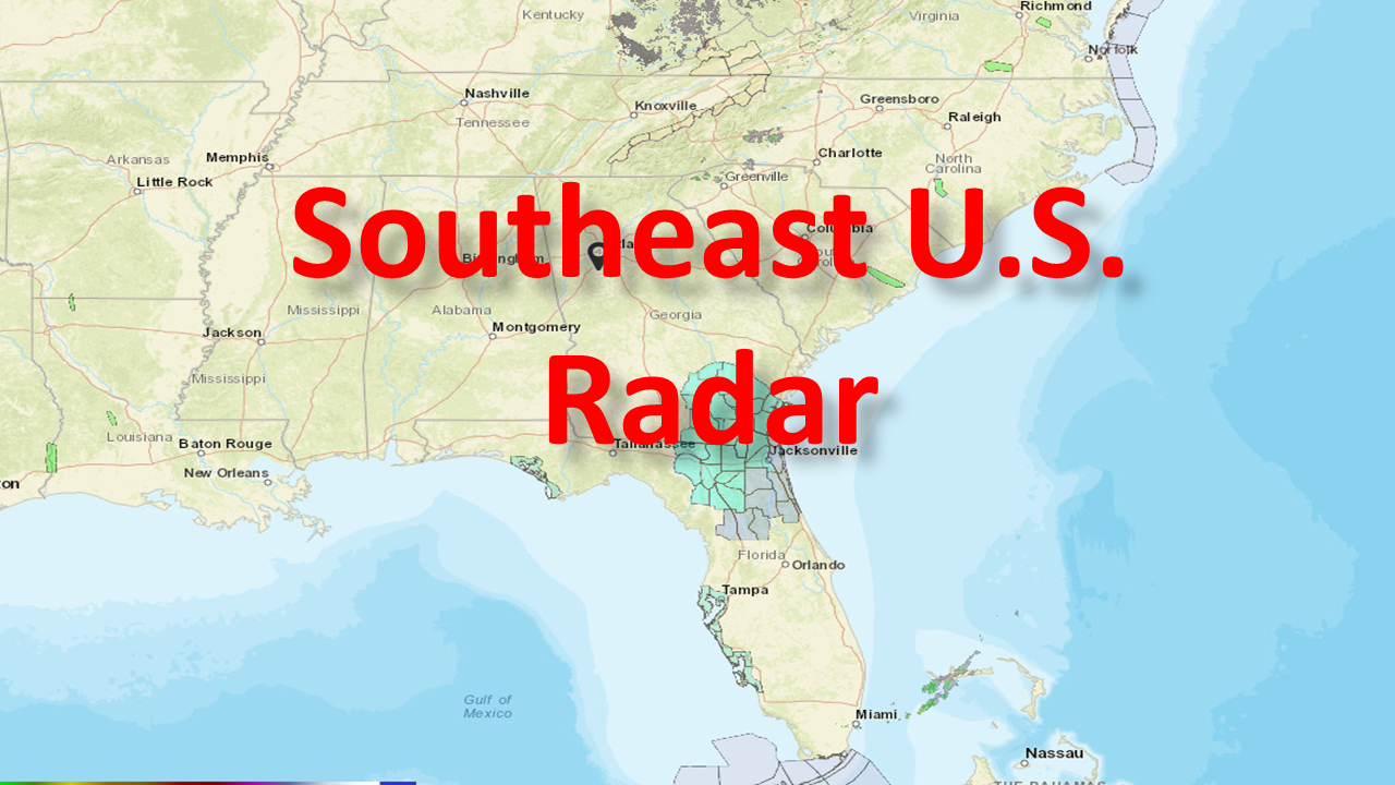 Current Southeast U.S. Radar
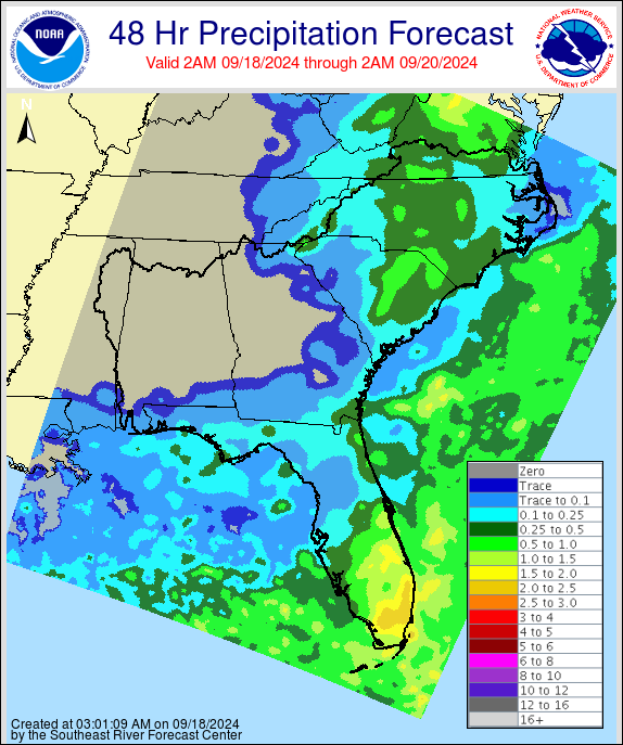 Forecast precipitation for next 48 hours
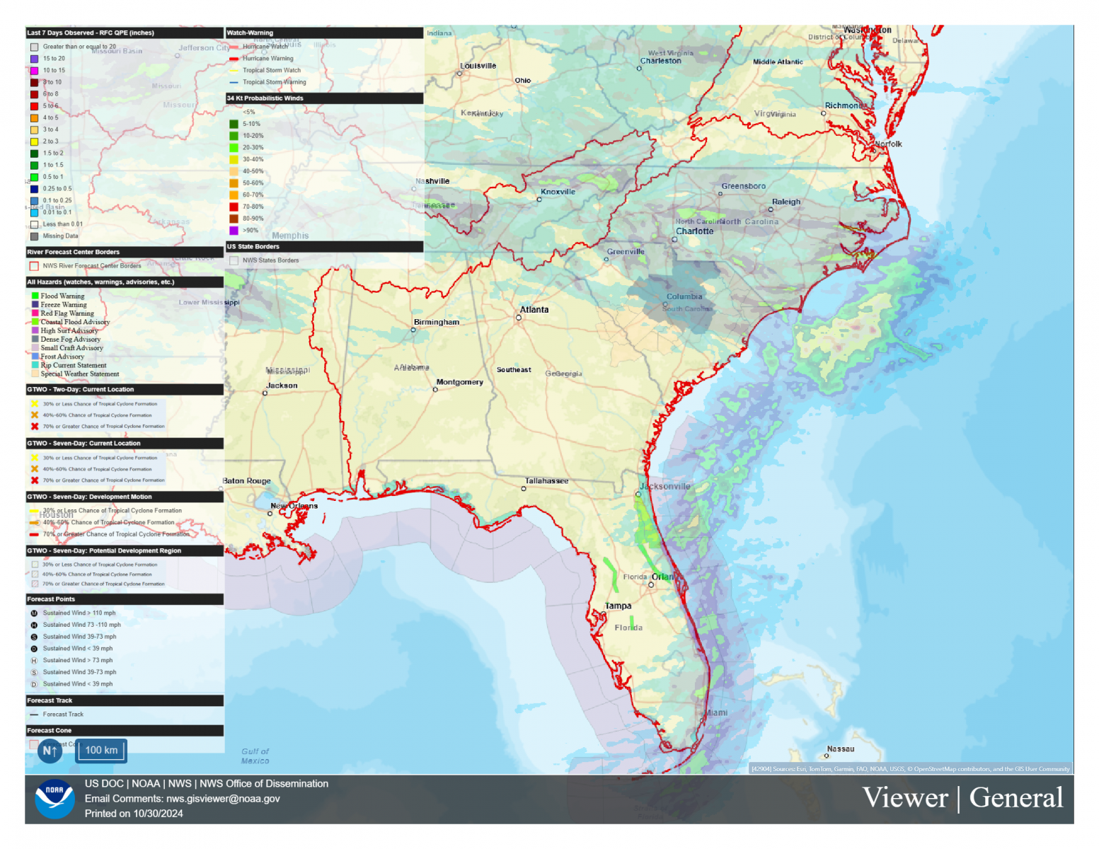 NWS GIS Viewer
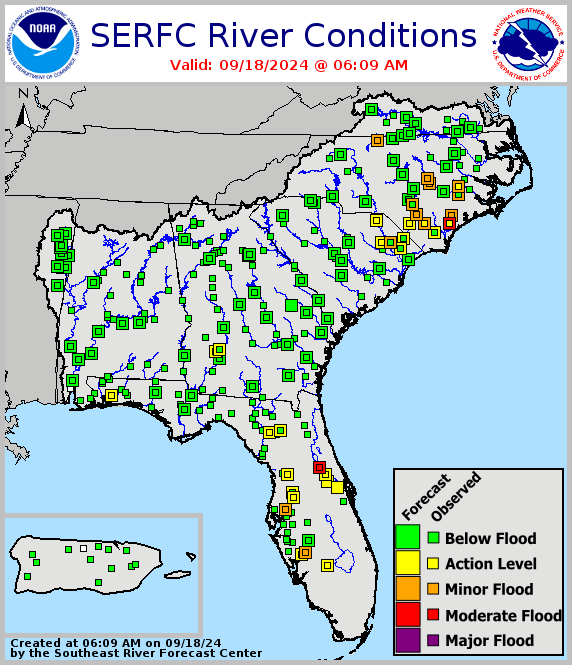 Legacy SERFC status map
 Southeast U.S. Drought Monitor