
Dangerous to record breaking heat will build across the center of the nation and slowly build eastward this week. Wildfire conditions remain critical for the Southwest and portions of the Great Basin through Monday. For the northern Plains and upper Midwest, severe thunderstorms with the potential for large to very large hail and severe winds are the primary hazards. Read More >
Last Map Update: Sat, Jul 4, 2026 at 2:18:49 pm CDT
CoCoRaHS  |
Submit Storm Report  |
River Stages 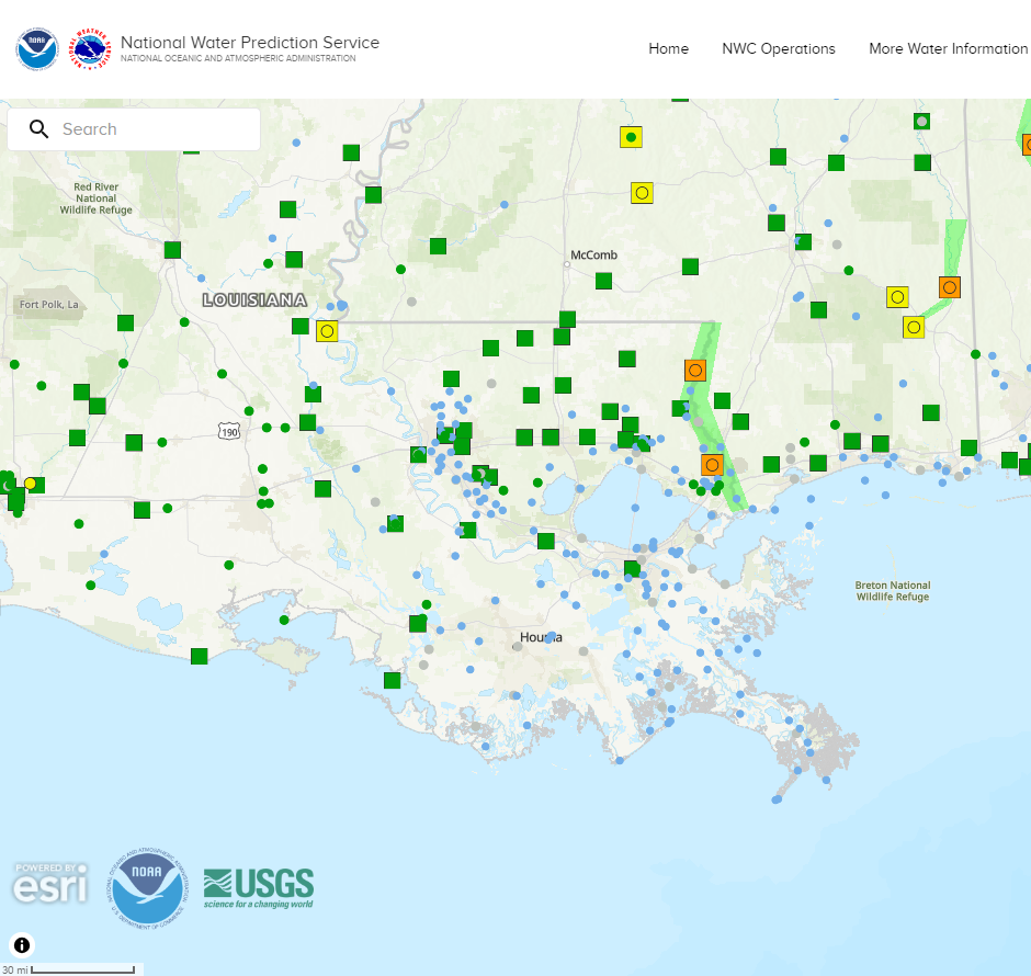 |
Current Weather Observations... | |||||||||||||||||||||||||||||||||||||||||||||||||||||||||||||||||||||||||||||||||||||||||||
|


 Local Radar
 Weather Map
 Tropical Weather Outlook
 Graphical HWO
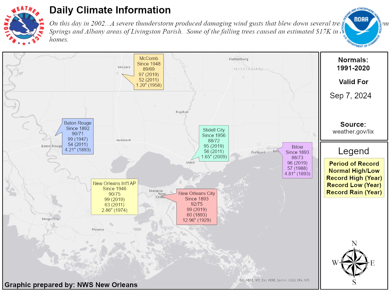 Climate Data for Today