
Scattered showers and thunderstorms across the Southern U.S. into the Mid-Atlantic could bring a localized flooding threat Friday into the weekend. The heaviest rainfall is expected across the eastern Carolinas on Friday. Heat will continue over the northern Plains and portions of the upper Midwest Friday. Most areas will see relief from the heat by the weekend. Read More >
New Orleans/Baton Rouge
Weather Forecast Office
Last Map Update: Sat, Jul 27, 2024 at 2:38:22 am CDT
CoCoRaHS  |
Submit Storm Report  |
River Stages 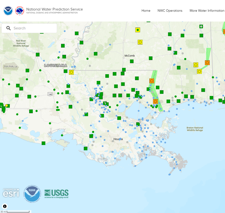 |
Current Weather Observations... | |||||||||||||||||||||||||||||||||||||||||||||||||||||||||||||||||||||||||||||||||||||||||||
|
Current Hazards
Fire Manager Quick Brief
Briefing Page
Storm Prediction Center
Extended Outlooks
Outlooks
Forecasts
Graphical Forecast
Weather Models and Maps
Fire Weather Forecast
Hourly Weather Graph
Air Quality Forecasts
Marine Forecast
Activity Planner
River Forecasts
Tropical Forecast
Forecast Discussion
Aviation Weather Forecast
US Dept of Commerce
National Oceanic and Atmospheric Administration
National Weather Service
New Orleans/Baton Rouge
62300 Airport Rd.
Slidell, LA 70460-5243
504.522.7330 985.649.0429
Comments? Questions? Please Contact Us.


 Local Radar
 Weather Map
 Tropical Weather Outlook
 Graphical HWO
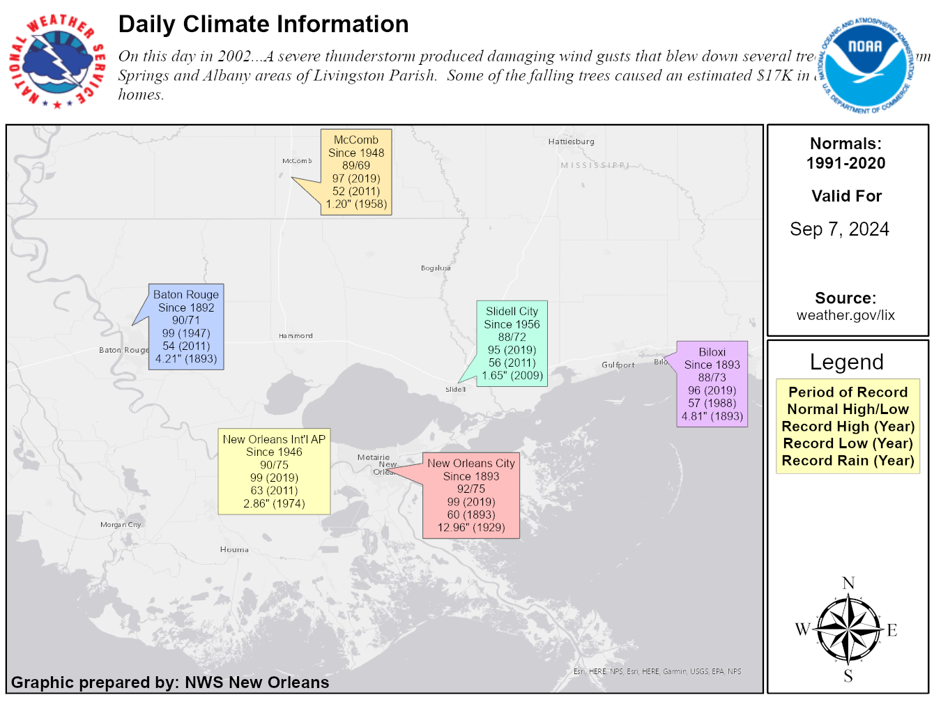 Climate Data for Today