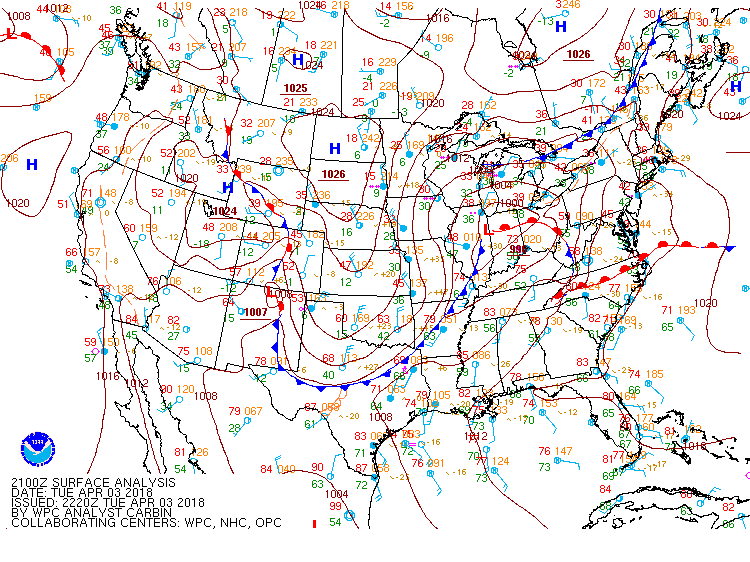
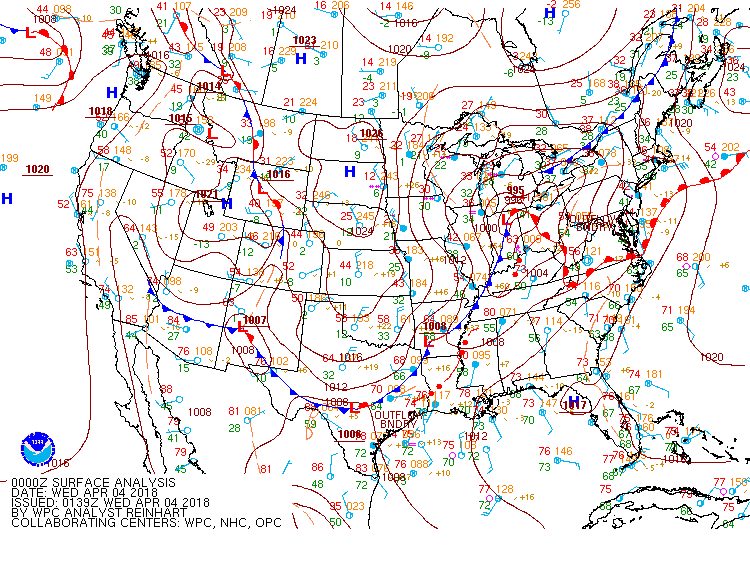
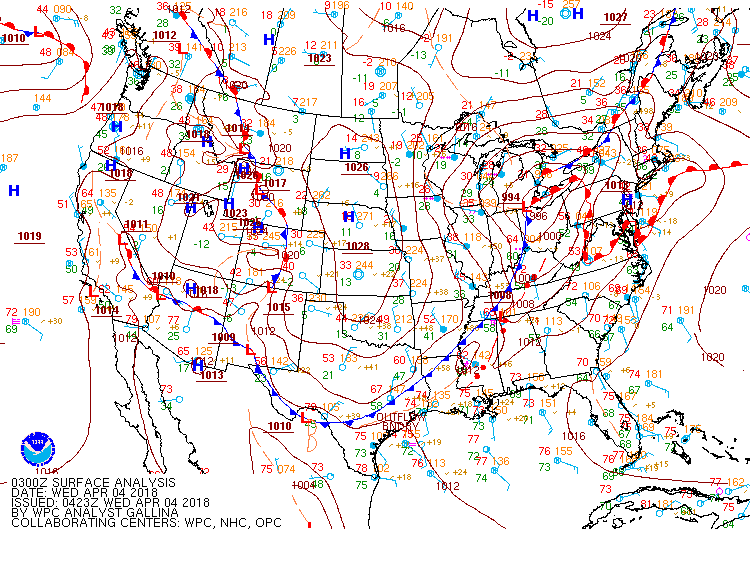
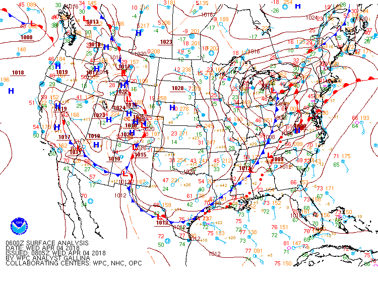
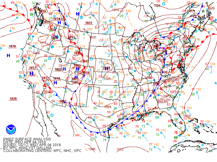
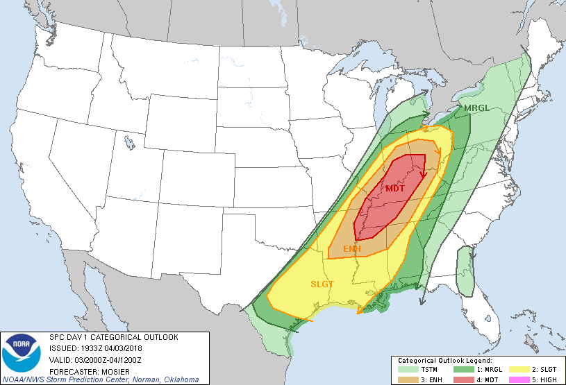
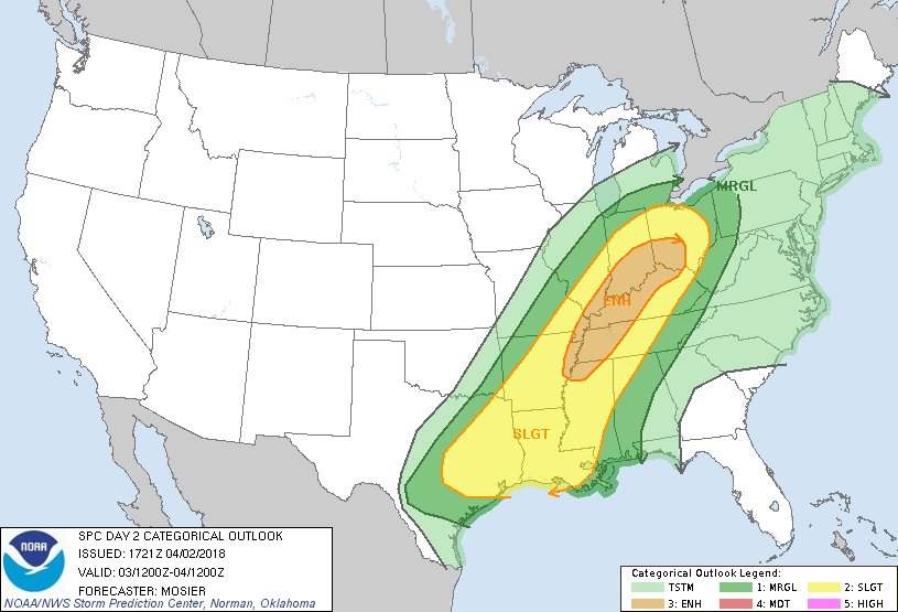
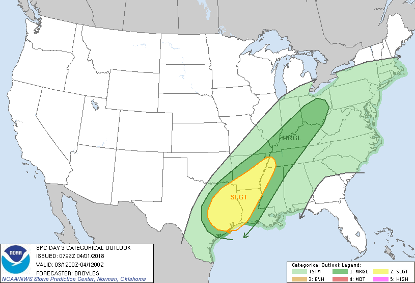
Record Heat for the Intermountain West and Northern Plains; Heavy Rainfall and Severe Weather Threats
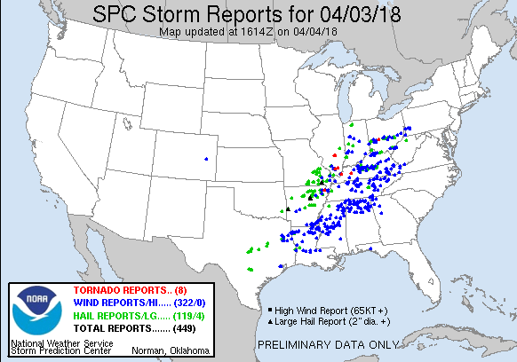
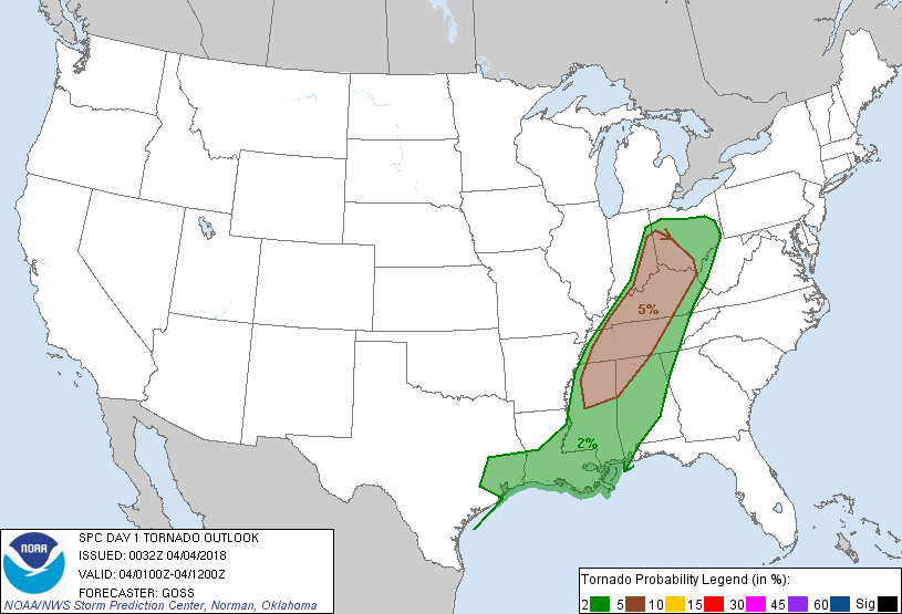
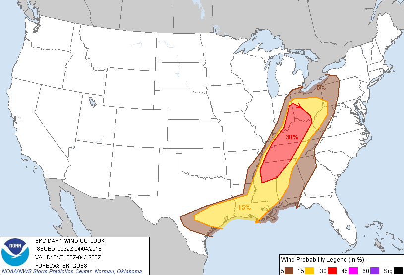
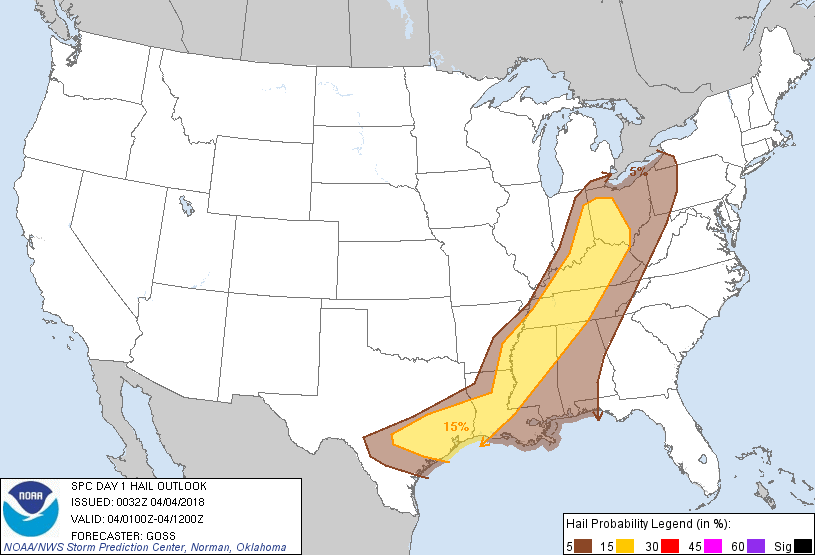
Record setting heat is expected over the next several days from the Intermountain West through the northern Plains. Furthermore, fire weather concerns increase with dry and breezy conditions. Meanwhile, heavy rainfall and severe thunderstorm threats for the Ohio/Tennessee Valleys, central Appalachians and Southeast today. The threat shifts to central Gulf Coast and across central Texas this week.
Read More >


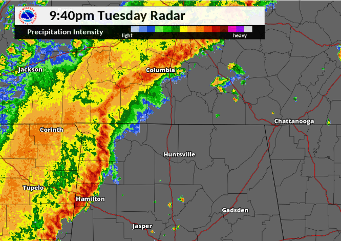


 Local Radar
 Weather Map
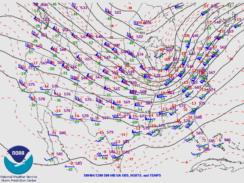
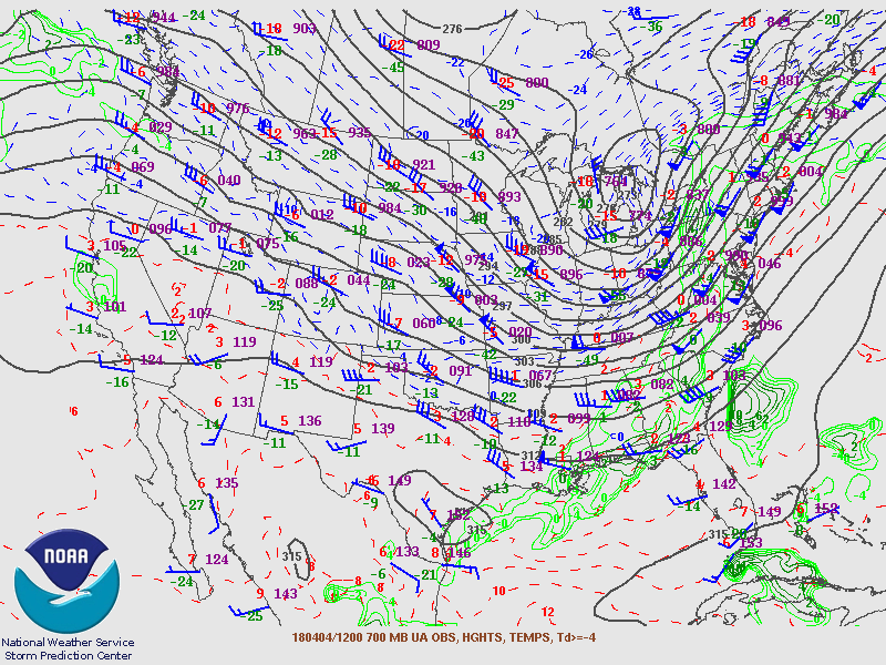