National Weather Service United States Department of Commerce

Storm Impacting the Northwest U.S.; Fire Weather Conditions in Southern California; Severe Weather in the South

A Pacific storm is bringing areas of low elevation rain, moderate to heavy mountain snow, and high winds to the Northwest. Strong Santa Ana winds and very dry conditions are producing elevated to critical fire weather conditions in southern California. Isolated strong to severe thunderstorms are possible through early Wednesday morning across parts of northeast Texas into western Tennessee. Read More >

Grassland Fire Danger Statement


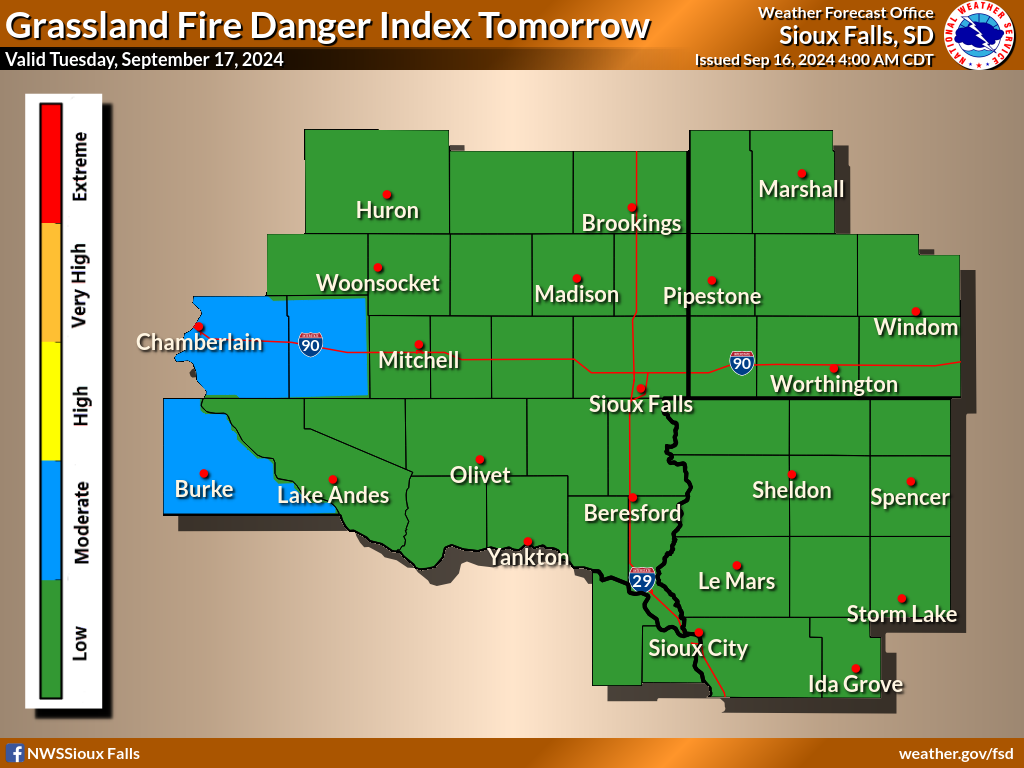
Statewide Grassland Fire Danger maps are also available for the states of South Dakota and Iowa.
Please take note of the legend beneath the maps for the color scheme.

Note: The Grassland Fire Danger statement will be issued daily from April 1st to November 15th, or as conditions warrant during the Spring and late Autumn.  It will also be issued during the winter months if the index reaches High,  Very High or Extreme.  Please check the date on the map and the text product below to ensure you are looking at a current product.

Check the text product beneath the maps for detailed Fire Danger information.
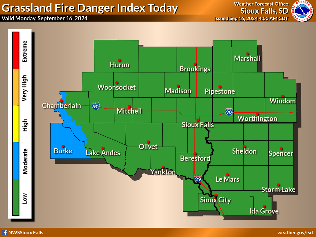
Grassland Fire Danger for Today
Key for Fire Danger Maps:
Low - Green
Moderate - Blue
High - Yellow
Very High - Orange
Extreme - Red


656
FNUS63 KFSD 072203
RFDFSD

Rangeland Fire Danger Statement
National Weather Service Sioux Falls SD
Issued by National Weather Service Aberdeen SD
503 PM CDT Mon Apr 7 2025

.DISCUSSION...

Skies will remain mostly clear on tonight into Tuesday morning
with temperatures falling into the 20s overnight. A diminishing
northeast breeze this evening will switch around to the southeast
by daybreak Tuesday.

Winds increase on Tuesday, with temperatures rising back into the
50s to low 60s. With afternoon gusts approaching 30 mph at times,
and relative humidity values falling near 30 percent, fire danger
will increase through parts of the James and Big Sioux River
Valleys.

Winds remain light through the mid-week, with low risks for light
rain at times Wednesday and Thursday. Temperatures however climb
into the 50s and 60s.


IAZ013-014-021-022-032-MNZ090-080115-
O`Brien-Clay-Cherokee-Buena Vista-Ida-Jackson-

OUTLOOK FOR TUESDAY AFTERNOON...The Grassland Fire Danger Index
will reach the high category.

The grassland fire danger product reflects fire danger for native
grasses. It is not intended for cured agricultural crops, nor
will it reflect conditions in road ditches which have been mowed.


$$

IAZ001>003-012-020-031-MNZ080-081-089-098-NEZ013-014-SDZ038-050-
052>071-080115-
Lyon-Osceola-Dickinson-Sioux-Plymouth-Woodbury-Murray-Cottonwood-
Nobles-Rock-Dixon-Dakota-Beadle-Gregory-Jerauld-Sanborn-Miner-
Lake-Moody-Brule-Aurora-Davison-Hanson-McCook-Minnehaha-
Charles Mix-Douglas-Hutchinson-Turner-Lincoln-Bon Homme-Yankton-
Clay-Union-

OUTLOOK FOR TUESDAY AFTERNOON...The Grassland Fire Danger Index
will reach the high category.

The grassland fire danger product reflects fire danger for native
grasses. It is not intended for cured agricultural crops, nor
will it reflect conditions in road ditches which have been mowed.


$$

MNZ071-072-097-SDZ039-040-080115-
Lincoln-Lyon-Pipestone-Kingsbury-Brookings-

OUTLOOK FOR TUESDAY AFTERNOON...The Grassland Fire Danger Index
will reach the low category.

The grassland fire danger product reflects fire danger for native
grasses. It is not intended for cured agricultural crops, nor
will it reflect conditions in road ditches which have been mowed.


$$