
Tropical Depression Two is expected to gradually strengthen and could bring tropical storm conditions to the Florida Panhandle beginning late Monday. Areas of flash flooding will be possible through Thursday along the eastern and central Gulf Coast. Severe thunderstorms will develop and move along a cold front crossing the Upper Midwest Monday, and through the Ohio Valley/Mid-Atlantic on Tuesday. Read More >
El Paso, TX
Weather Forecast Office
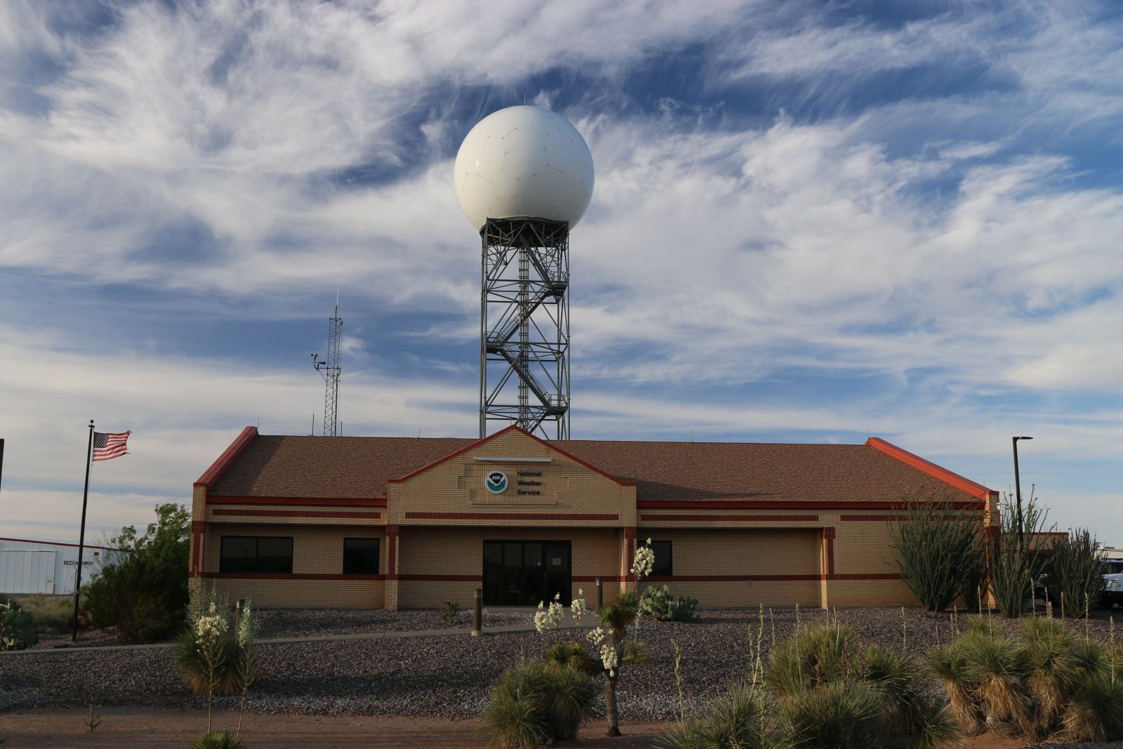
WFO Santa Teresa/El Paso office with KEPZ radar in the background

Entrance and Administrative Assistant (ASA) Desk
.jpg)
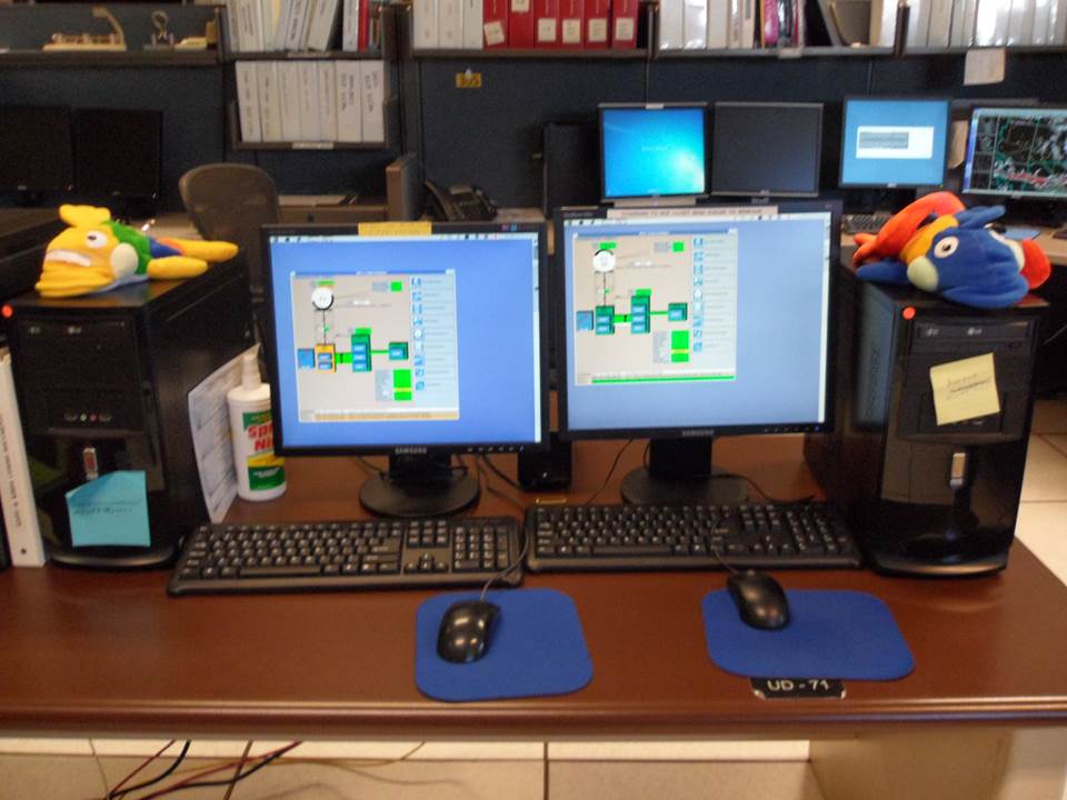
Operations Area - There are six work stations shown in this image around the "horseshoe" with another work station in the lower right outside of the image. This is where the "magic" happens.
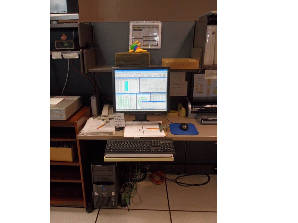
UPC Radar Consoles - Where we monitor the status of the two radars in our County Warning Area, KEPZ and KHDX.
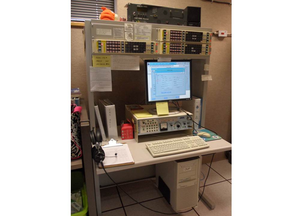
Upper Air Console
CRS NOAA Weather Radio

Conference Room
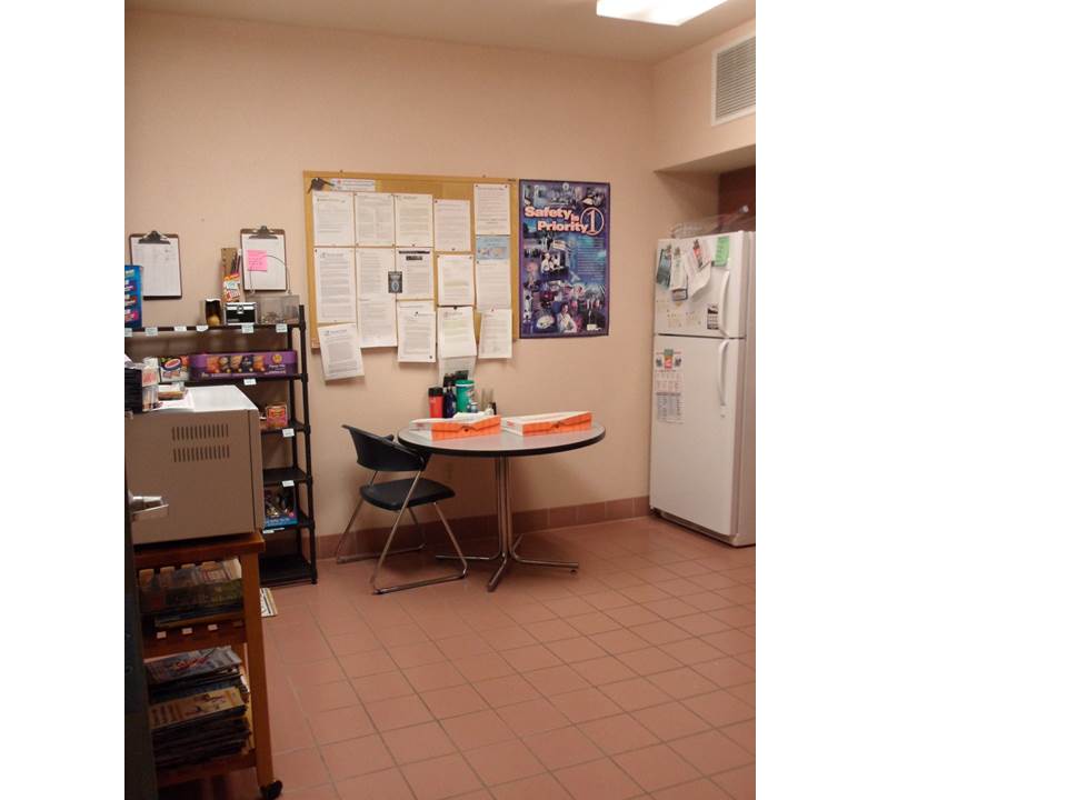
Break Room
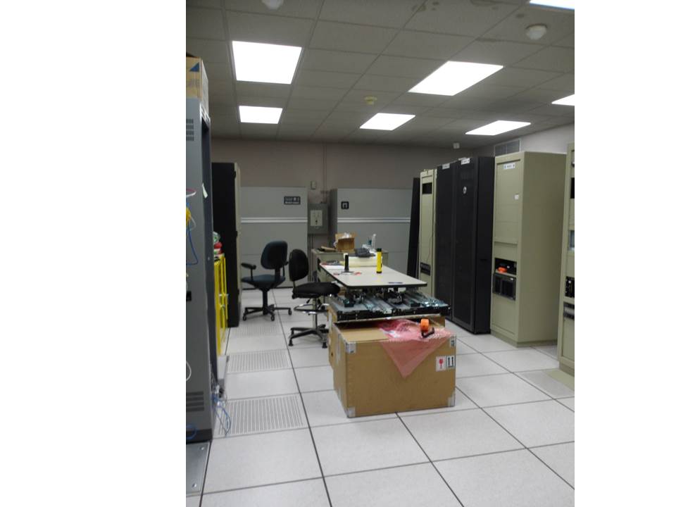
Server Room
**Last updated 12/11/24
Current Hazards
Outlooks
Hazardous Weather Outlook
Local Storm Reports
Public Information Statement
National
Heat Risk
Current Conditions
Local Observations
Satellite
Drought Monitor
Holloman AFB Radar
Regional highs/lows/precip
El Paso Radar
Rivers and Lakes
Forecasts
Forecast Discussion
Graphical Forecast
Hourly Forecast
Activity Planner
Fire Weather
Aviation Weather
Climate
El Paso Climate Data
Monthly Weather Digest
Climate Graphs
Monthly Climate Data
Climate Prediction
Storm Events Database
Santa Teresa Climate Data
US Dept of Commerce
National Oceanic and Atmospheric Administration
National Weather Service
El Paso, TX
7955 Airport Rd
Santa Teresa, NM 88008
(575) 589-4088
Comments? Questions? Please Contact Us.

