National Weather Service United States Department of Commerce
Click a location below for detailed forecast.

Last Map Update: Mon, Jul 28, 2025 at 7:22:27 am CDT

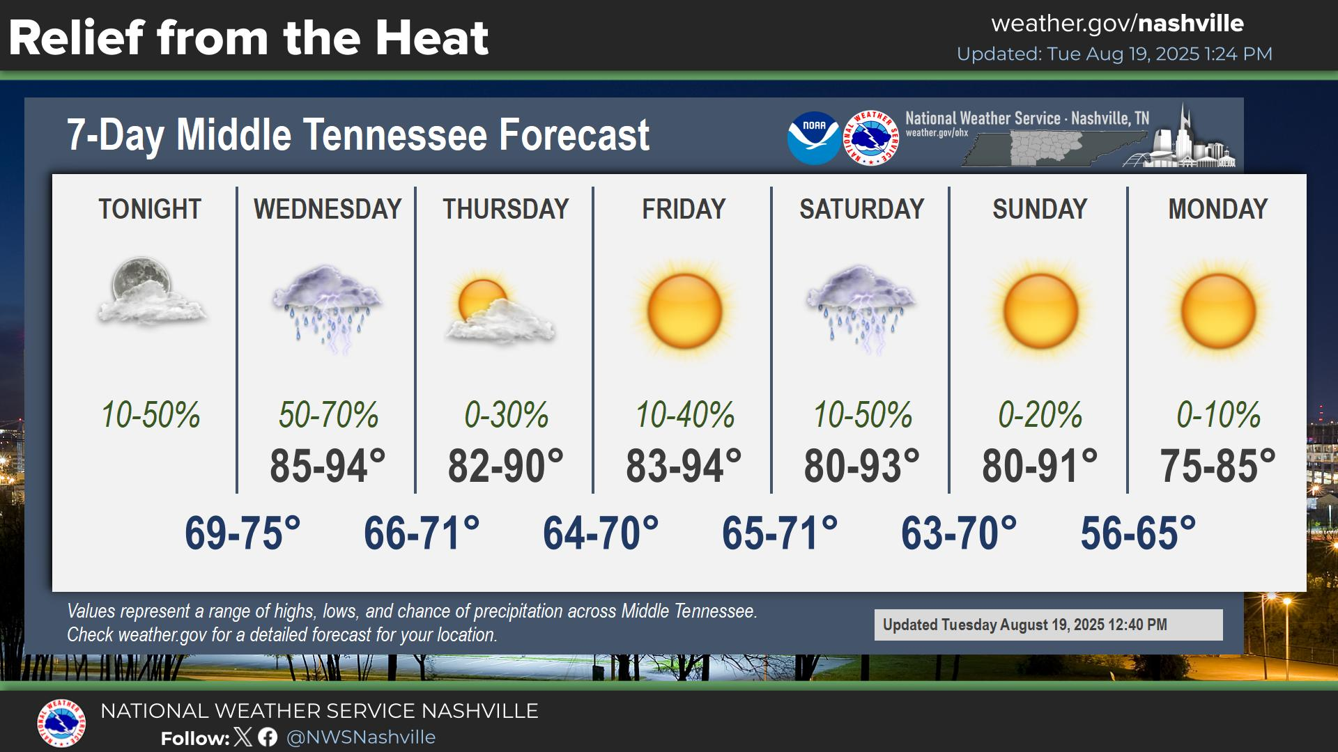
Temperatures will continue to warm as we head into the new work week. We will see highs push into the mid to upper 90s with afternoon heat index values 100-110. The hottest days will be Tuesday and Wednesday.
We are going to see an extended period of hot weather with highs in the 90s and afternoon heat index values as hot as 110+. The peak of the heat will be Tuesday and Wednesday. We will see some cooling late in the week.
With dangerous heat persisting into next week, make sure you know the difference between heat exhaustion and heat stroke. Stay cool and stay hydrated!

​

Middle Tennessee Weather History For July 28th...
On July 28, 1952...Temperature at Nashville reaches 107 for the 2nd
consecutive day. All-time record highs are set at Centerville,
Columbia, and Palmetto (109), Shelbyville (107), Springfield (106),
Tullahoma (106), and Monteagle (101).


Text Product Selector (Selected product opens in current window)


Briefing Hydrology Past Weather Events Graphical Hazardous Weather Outlook for Middle Tennessee Middle Tennessee Observations
Decision Support Hydrology Past Weather Events GHWO Observations Gridded Forecast
Daily Climate for Middle Tennessee Local Middle Tennessee Climate Tornado Database Tropical Weather Information NOAA Weather Radio
IDSS Point Forecasts Daily Climate Local Climate Tornado Database Tropical Weather Radio
   
Being Prepared Probabilistic Outreach