
Heat expands across the Desert Southwest, Plains, Mississippi Valley and Midwest into Monday. Fire weather concerns continue for portions of the Intermountain West. Active monsoonal moisture fuels thunderstorms over the Southwest with possible flash flooding. Tropical cyclone Fausto in the Pacific, should weaken as it approaches Hawaii; Dangerous surf, swells and rip currents are expected. Read More >
Aberdeen, SD
Weather Forecast Office
Aviation Weather
Federal Aviation Administration
Before departure call 1-800-WX-BRIEF for the latest weather and to file flight plans
| Terminal Aerodrome Forecasts (TAFs) |
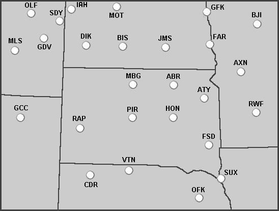
Click on a location on the map or select a location from the list below:
| Forecast Discussions (Including Aviation Discussions) |
| Sioux Falls | Rapid City | |
| Bismarck | Grand Forks | Minneapolis |
| Satellite Imagery |
Latest GOES-East Satellite Images
| Other Information |
US Dept of Commerce
National Oceanic and Atmospheric Administration
National Weather Service
Aberdeen, SD
824 391st Ave S.
Aberdeen, SD 57401-9311
605-225-0519
Comments? Questions? Please Contact Us.

