
Record setting heat is expected over the next several days from the Intermountain West through the northern Plains. Furthermore, fire weather concerns increase with dry and breezy conditions. Meanwhile, heavy rainfall and severe thunderstorm threats for the Ohio/Tennessee Valleys, central Appalachians and Southeast today. The threat shifts to central Gulf Coast and across central Texas this week. Read More >
Overview
|
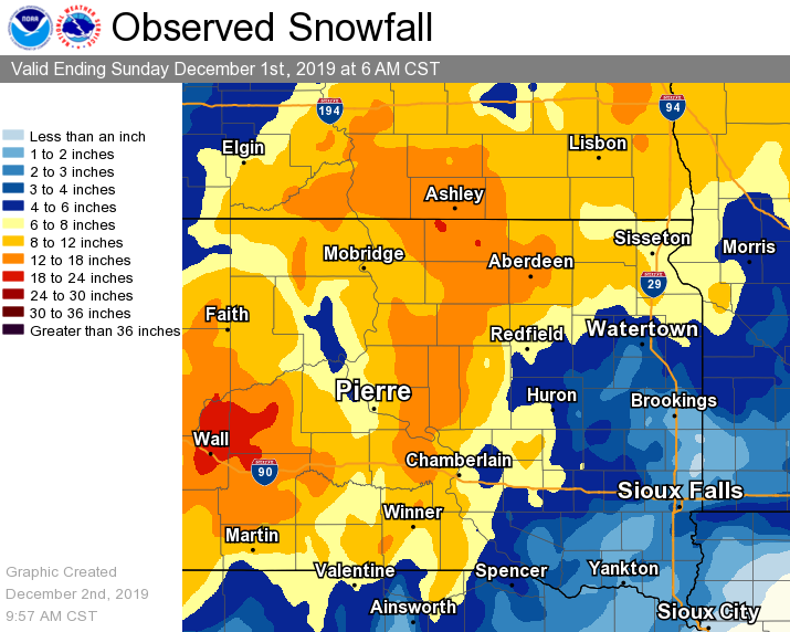
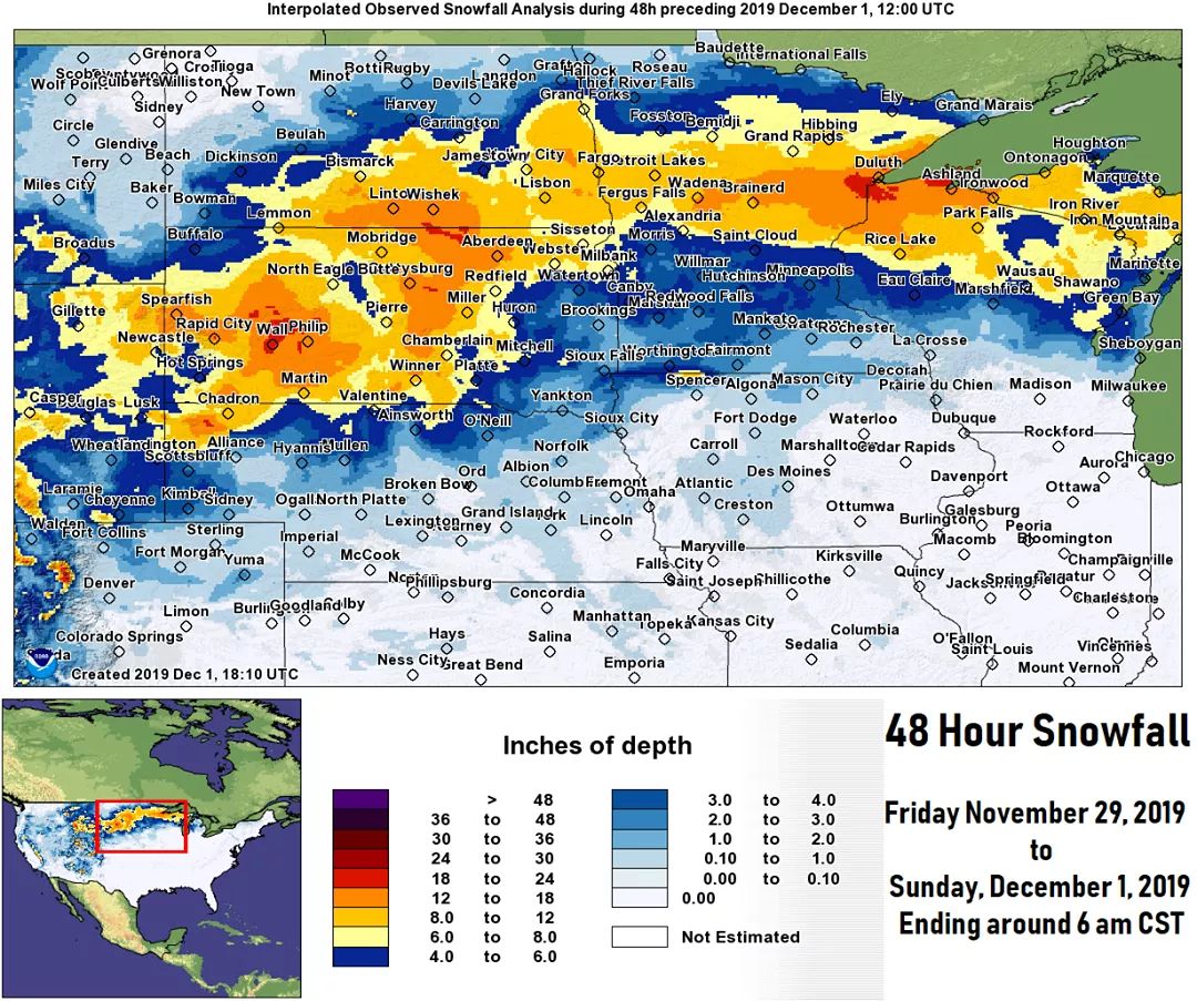
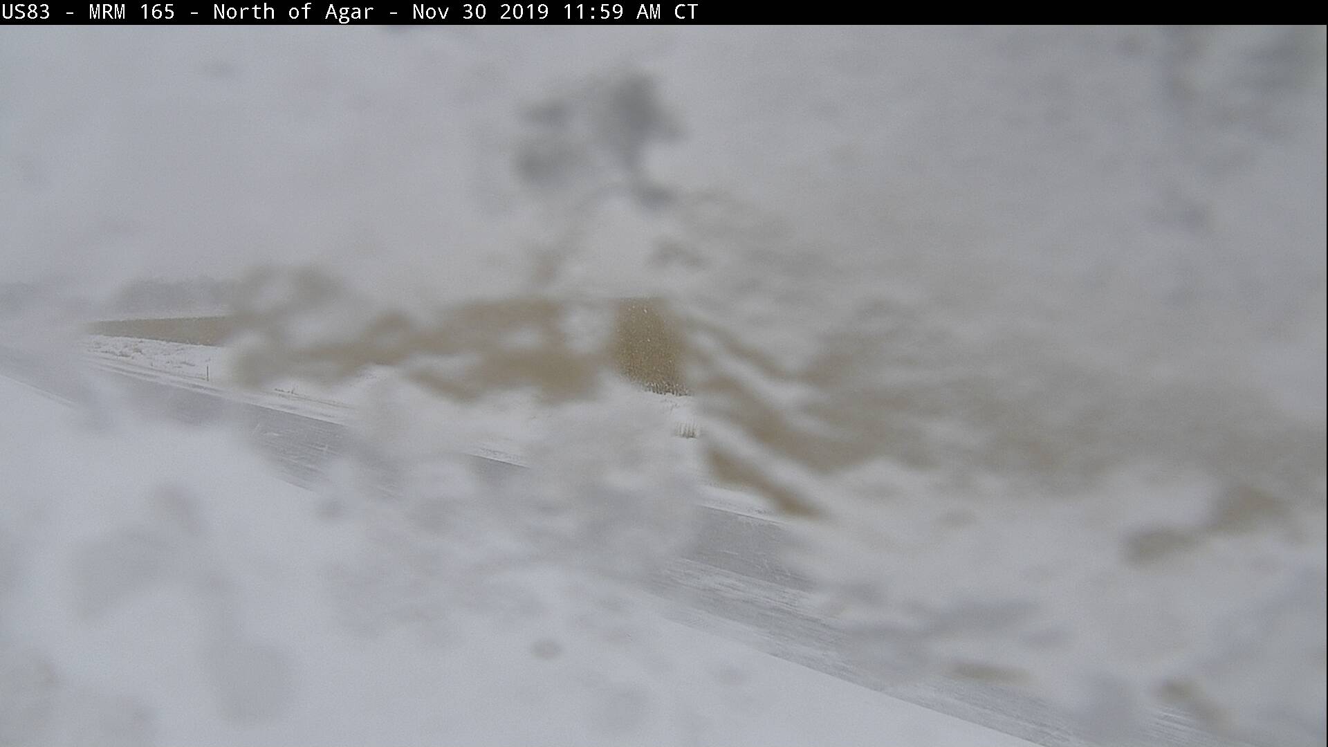
A deep low pressure system tracked across the Northern Plains in the days following Thanksgiving, and produced widespread impacts as it went. Freezing drizzle began for some on Thanksgiving Thursday and Friday. Heavy, wet snow tracked from south to north across the area late Friday afternoon and persisted through the overnight and into Saturday. Meanwhile, wind gusts of 30-50 mph further reduced visibilities, greatly at times. Road conditions deteriorated quickly through the event, and despite many SDDOT "No Travel Advised" statements as well as the closure of I-90 from Chamberlain to the Wyoming border Friday night through Sunday morning, several accidents occurred. Additionally, a plane crashed in rural Brule County shortly after taking off from Chamberlain Saturday afternoon. 9 people were killed and 3 were seriously injured in the crash. By the time the storm let up Sunday morning, anywhere from 2-16 inches of snow and around 0.5-1.5" of liquid equivalent had fallen. Aberdeen's 16.6" storm total was the largest since February 20-21 of 2011 (17.7"), and 4.1" off the all-time 3-day record of 20.7" (Nov 23-25, 1993). |
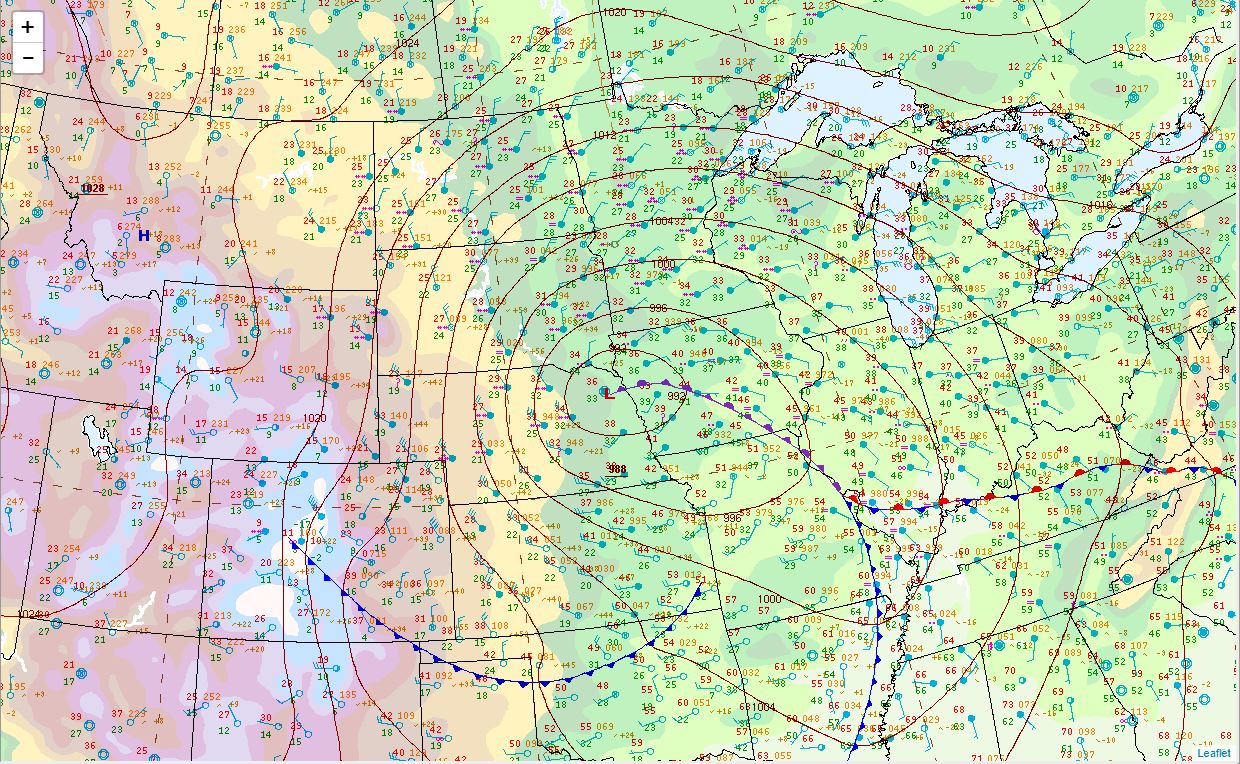 Surface weather map at 6 pm on Saturday, Nov 30th |
Snow Totals
48 hour snowfall totals, ending 6 am on Sunday, December 1st
STORM TOTAL SNOWFALL REPORTS
Location Amount Time/Date Provider
3 ESE Aberdeen 16.6 in 1200 AM 12/01 Official NWS Obs
Eureka 16.0 in 1000 AM 12/01 CO-OP Observer
6 NE Roscoe 16.0 in 0857 AM 12/01 Public
Roscoe 15.0 in 0902 AM 12/01 CO-OP Observer
2 NW Westport 15.0 in 0900 AM 12/01 CO-OP Observer
1 NNE Aberdeen 14.2 in 0800 AM 12/01 Cocorahs
5 W Leola 14.0 in 0243 PM 12/01 Public
4 ENE Reliance 13.3 in 0800 AM 12/01 Cocorahs
Presho 13.3 in 0800 AM 12/01 Cocorahs
1 SSW Aberdeen 13.0 in 0840 AM 12/01 Cocorahs
Kennebec 12.5 in 0600 PM 11/30 CO-OP Observer
4 ESE Herreid 12.0 in 0841 AM 12/01 Cocorahs
Columbia 11.5 in 0933 AM 12/01 CO-OP Observer
Faulkton 11.0 in 0903 AM 12/01 CO-OP Observer
11 NNE Java 11.0 in 0800 AM 12/01 Cocorahs
17 N Holabird 11.0 in 0800 AM 12/01 Cocorahs
Murdo 10.3 in 0932 AM 12/01 CO-OP Observer
9 NNE Vivian 10.0 in 0800 AM 12/01 Cocorahs
6 SE Mcintosh 10.0 in 0700 AM 12/01 CO-OP Observer
2 SSE Claremont 9.5 in 0800 AM 12/01 Cocorahs
Redfield 9.0 in 0800 AM 12/01 CO-OP Observer
Sisseton 8.4 in 0700 AM 12/01 CO-OP Observer
Pierre 8.0 in 0950 AM 12/01 Cocorahs
3 W Sisseton 8.0 in 0901 AM 12/01 CO-OP Observer
4 W Sisseton 8.0 in 0800 AM 12/01 Cocorahs
Fort Pierre 8.0 in 0800 AM 12/01 Cocorahs
Milbank 7.0 in 0929 AM 12/01 CO-OP Observer
Browns Valley 6.5 in 0900 AM 12/01 CO-OP Observer
Britton 6.4 in 0859 AM 12/01 CO-OP Observer
10 SSE New Effington 6.1 in 0800 AM 12/01 Cocorahs
Clark 5.3 in 0901 AM 12/01 Public
Turton 5.0 in 0903 AM 12/01 CO-OP Observer
Turton 5.0 in 0800 AM 12/01 Cocorahs
Britton 5.0 in 0700 AM 12/01 CO-OP Observer
Browns Valley 4.5 in 0700 AM 12/01 CO-OP Observer
2 E Watertown 3.5 in 0800 AM 12/01 Cocorahs
Watertown 2.6 in 0800 AM 12/01 CO-OP Observer
3 ESE Rauville 2.5 in 0800 AM 12/01 Cocorahs
48 hour snowfall totals across the region, ending 6 am on Sunday, December 1st
Photos & Video
 |
 |
 |
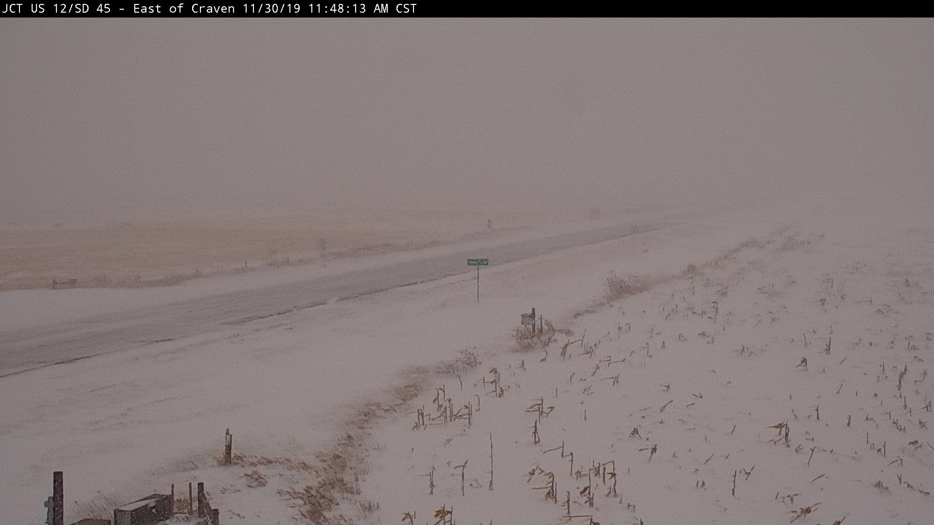 |
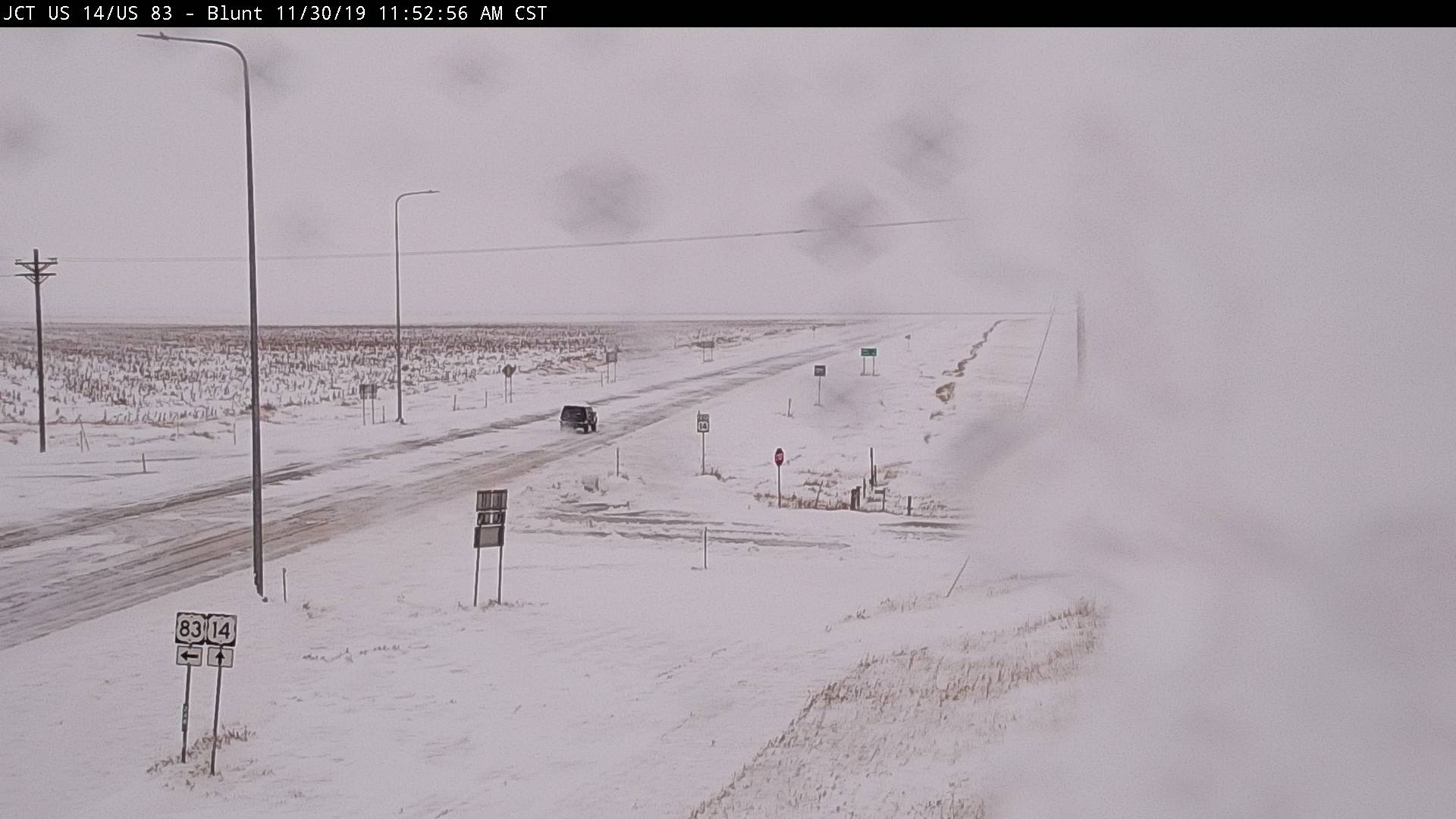
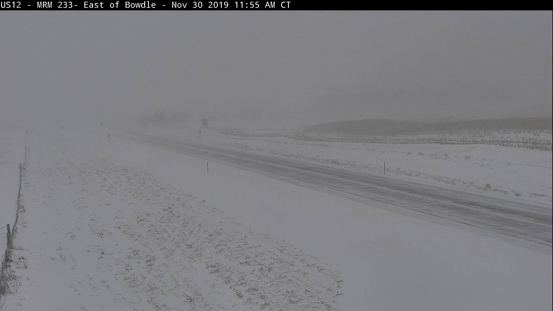
| SDDOT cam near Agar at noon on Saturday, Nov 30th | SDDOT cam near Blunt at noon on Saturday, Nov 30th | SDDOT cam near Bowdle at noon on Saturday, Nov 30th | SDDOT cam near Craven's Corner at noon on Saturday, Nov 30th |
 |
 |
 |
 |
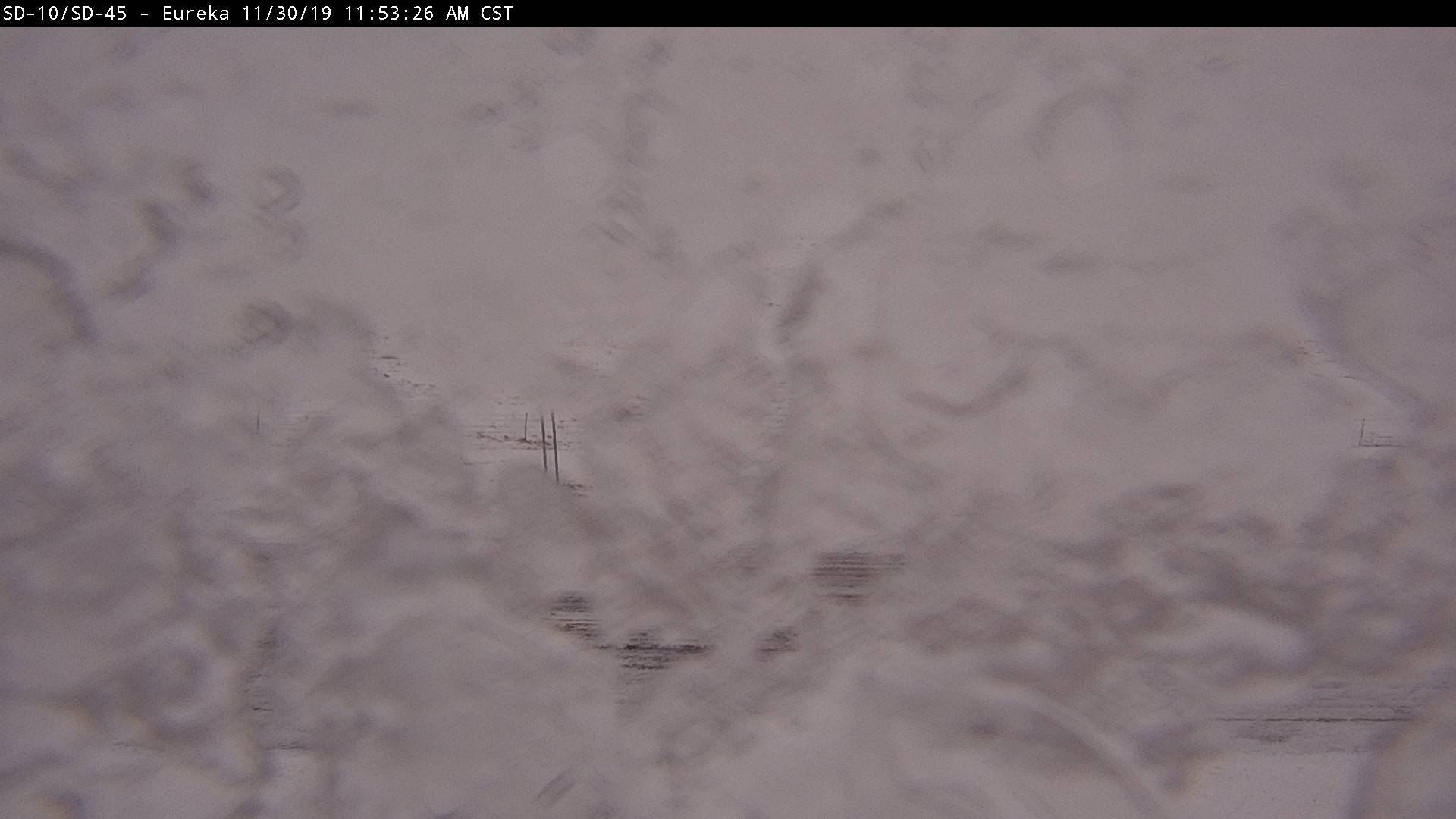
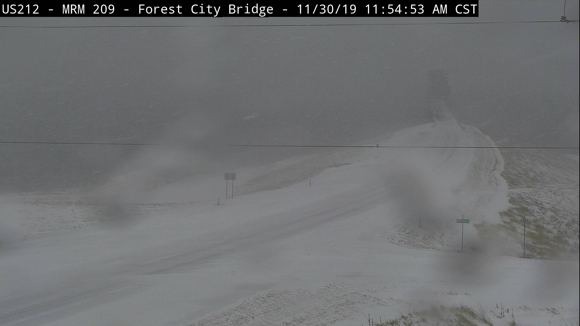
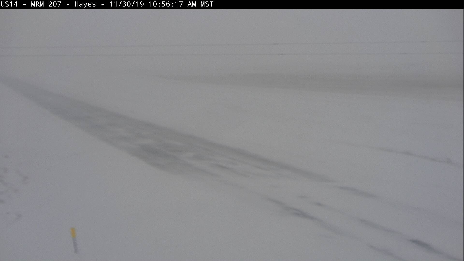
| SDDOT cam near Eureka at noon on Saturday, Nov 30th | SDDOT cam near Forest City at noon on Saturday, Nov 30th | SDDOT cam near Hayes at noon on Saturday, Nov 30th | SDDOT cam near Herreid at noon on Saturday, Nov 30th |
 |
 |
 |
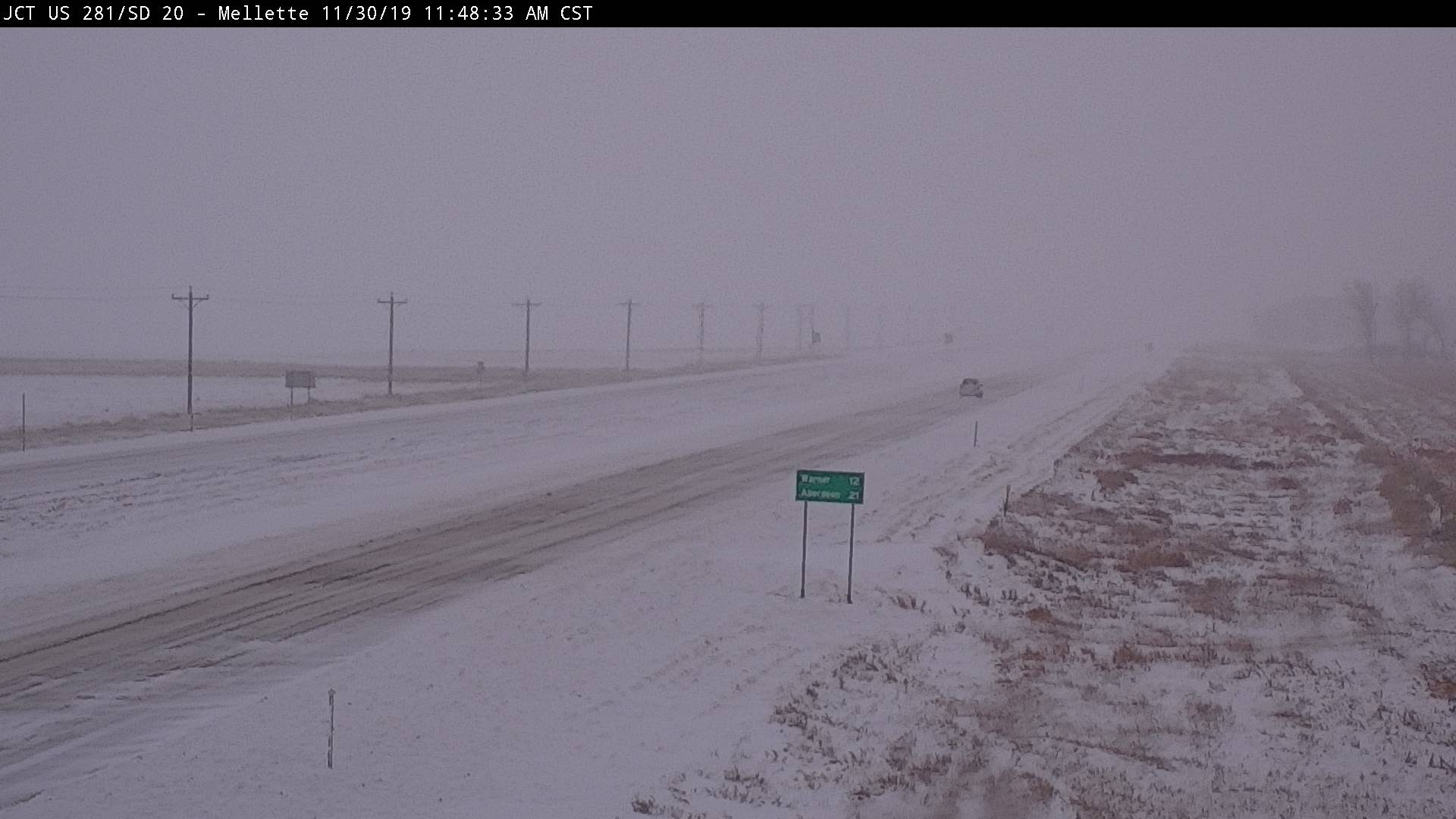 |
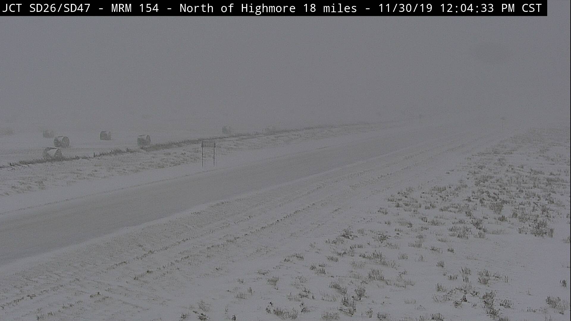
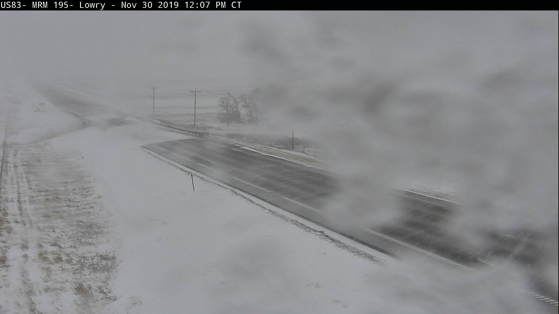
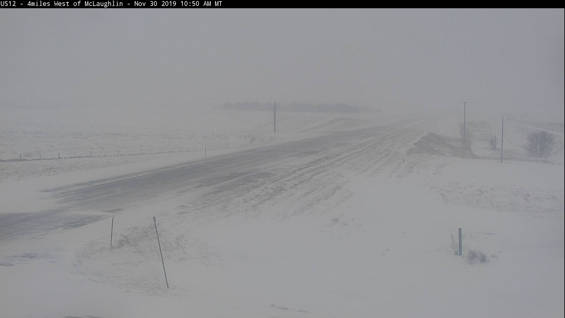
| SDDOT cam 18 mi north of Highmore at noon on Saturday, Nov 30th | SDDOT cam near Lowry at noon on Saturday, Nov 30th | SDDOT cam near McLaughlin at noon on Saturday, Nov 30th | SDDOT cam near Mellette at noon on Saturday, Nov 30th |
 |
 |
 |
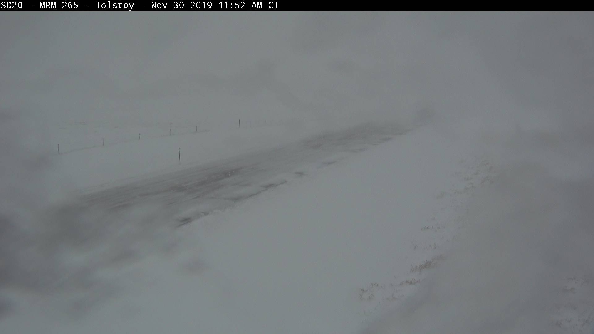 |
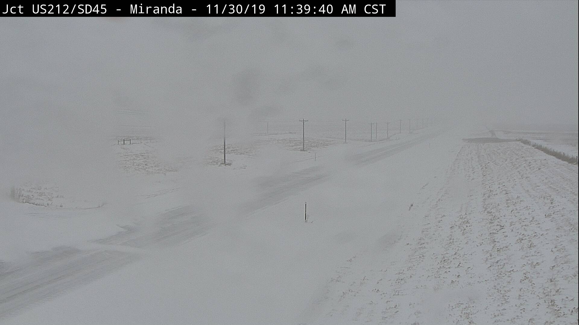
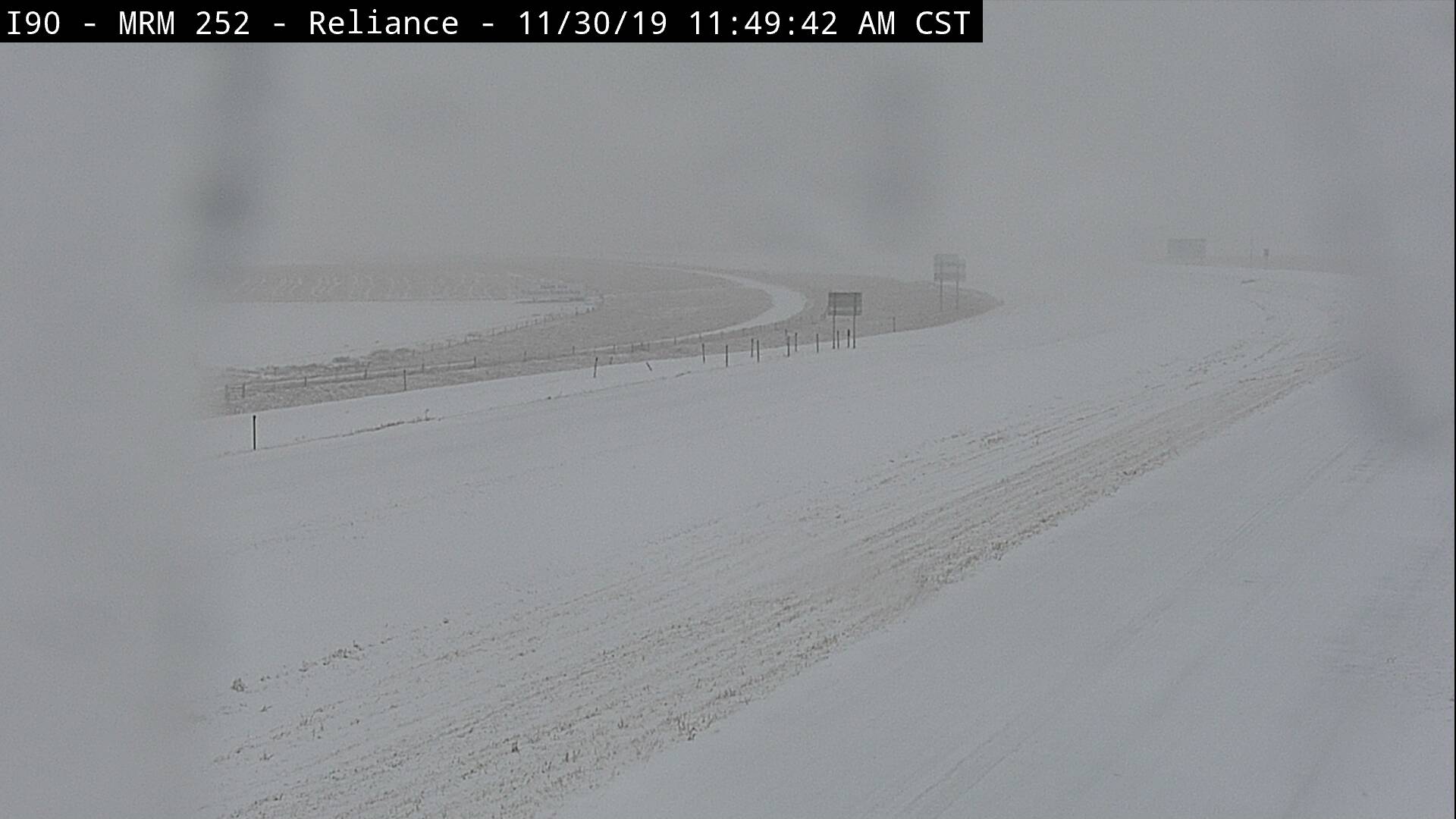
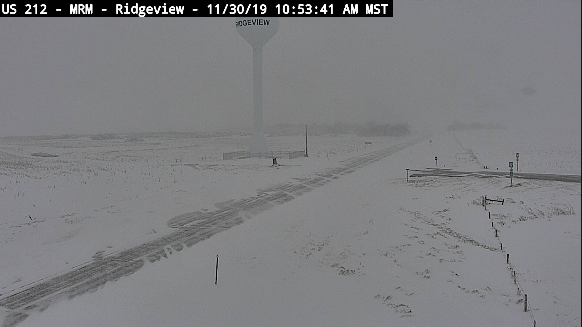
| SDDOT cam near Miranda at noon on Saturday, Nov 30th | SDDOT cam near Reliance at noon on Saturday, Nov 30th | SDDOT cam near Ridgeview at noon on Saturday, Nov 30th | SDDOT cam near Tolstoy at noon on Saturday, Nov 30th |
 |
 |
 |
 |
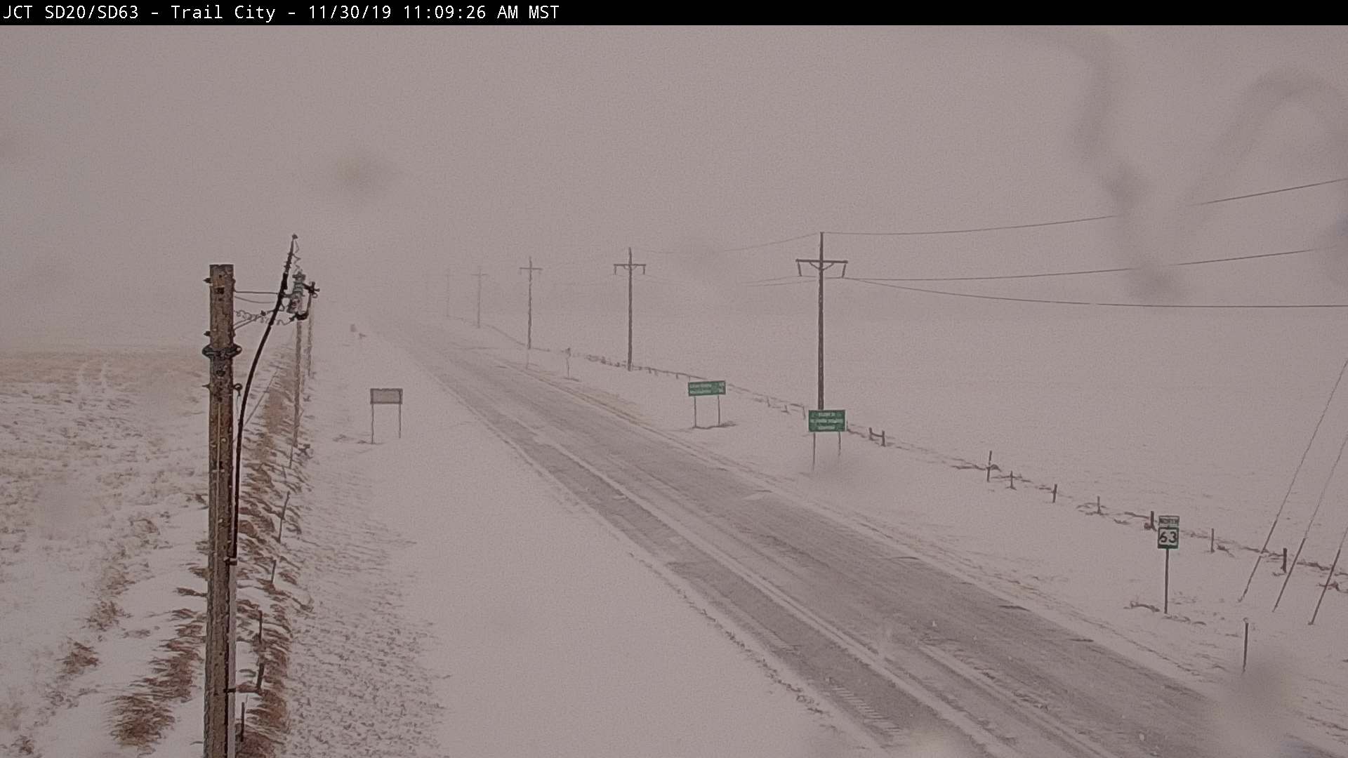
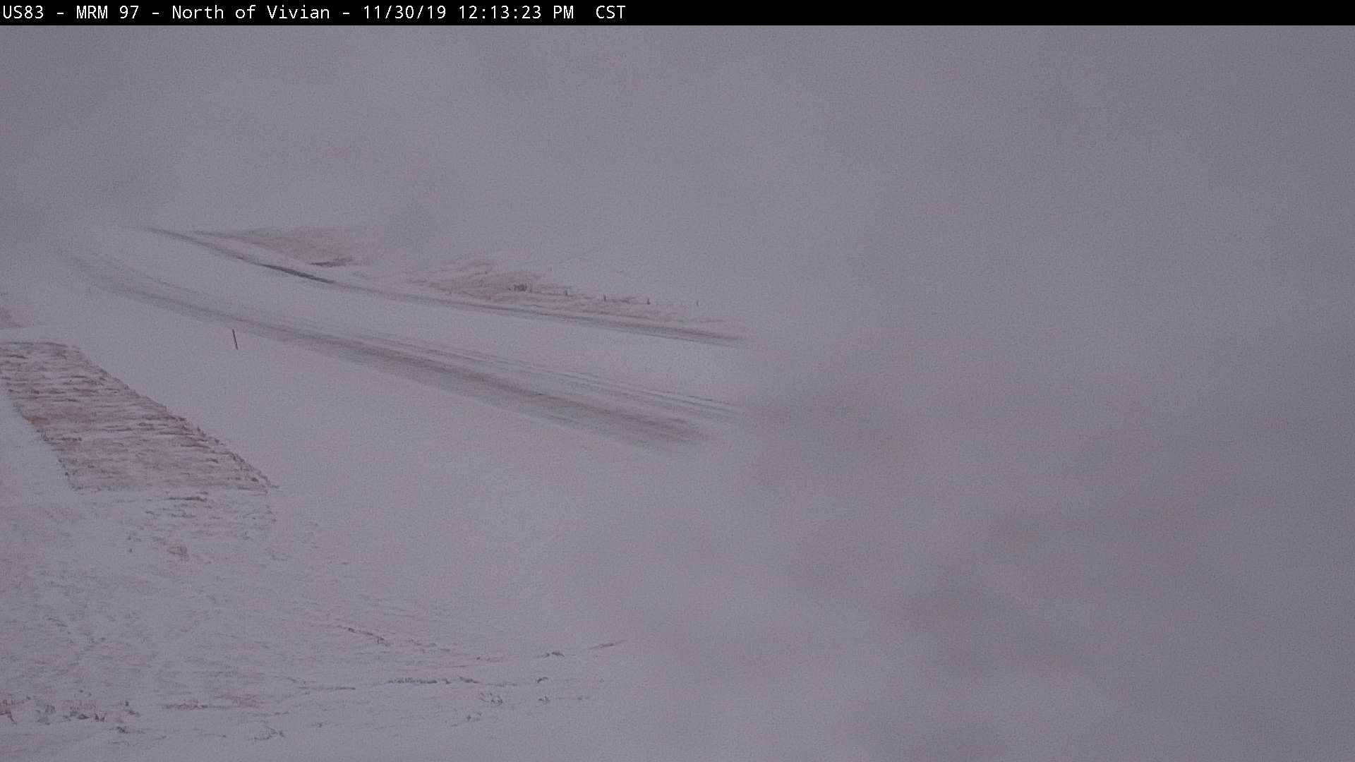
| SDDOT cam near Trail City at noon on Saturday, Nov 30th | SDDOT cam near Vivian at noon on Saturday, Nov 30th | Storm total 5 miles west of Leola, courtesy of Colin Hoffman | After the storm in Aberdeen (NWS employee) |
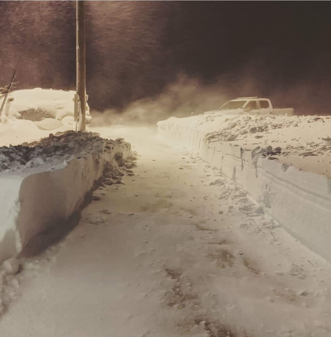 |
 |
 |
 |
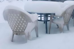
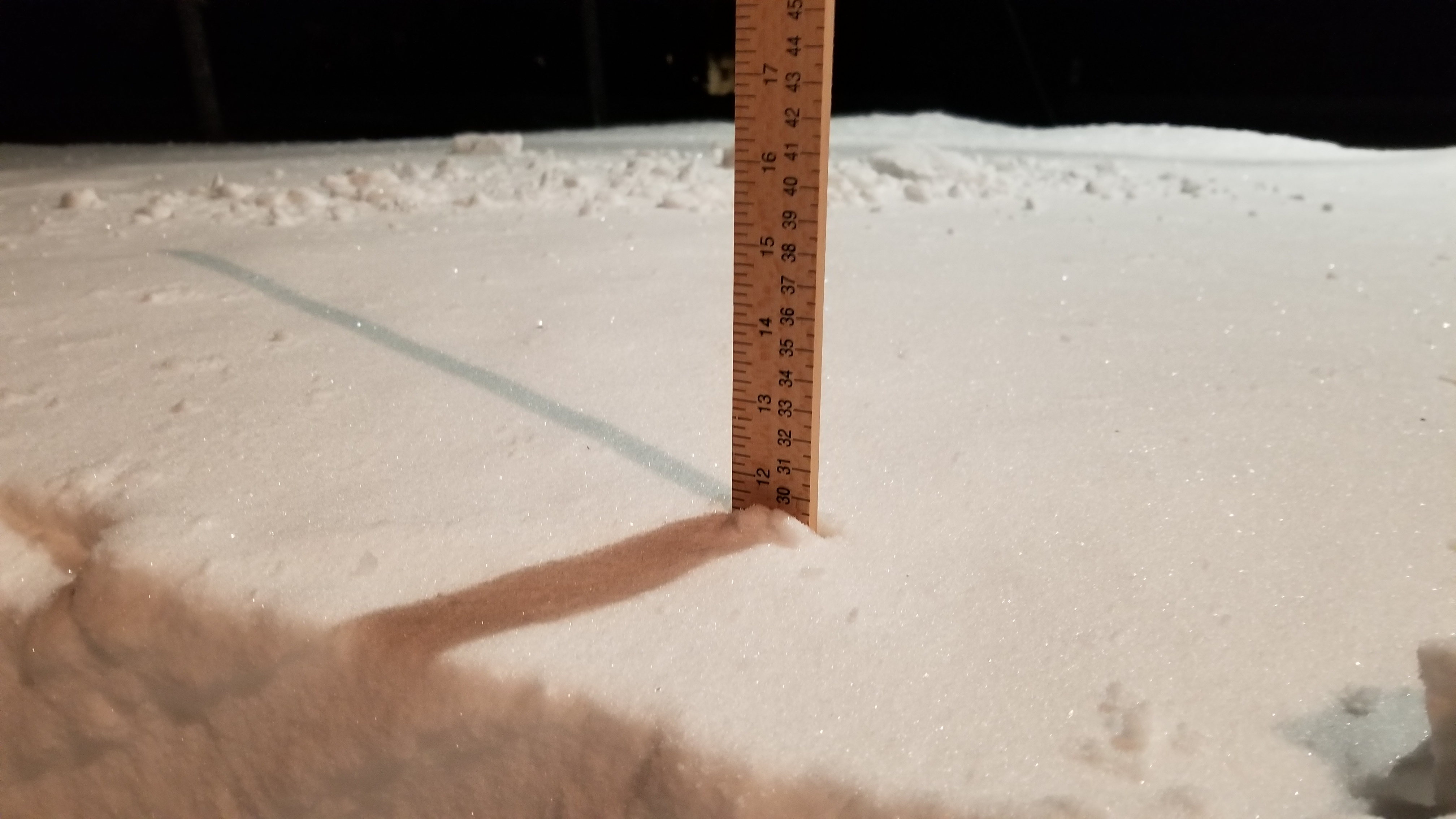
| Heavy snow and blowing snow at Richmond Lake (NWS employee) | Heavy snow at Westport, courtesy of Launa Michelle | Storm total at Mina (NWS employee) | Heavy snow in Pierre, courtesy of Timothy Hender |
 |
.jpg) |
 |
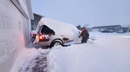
|
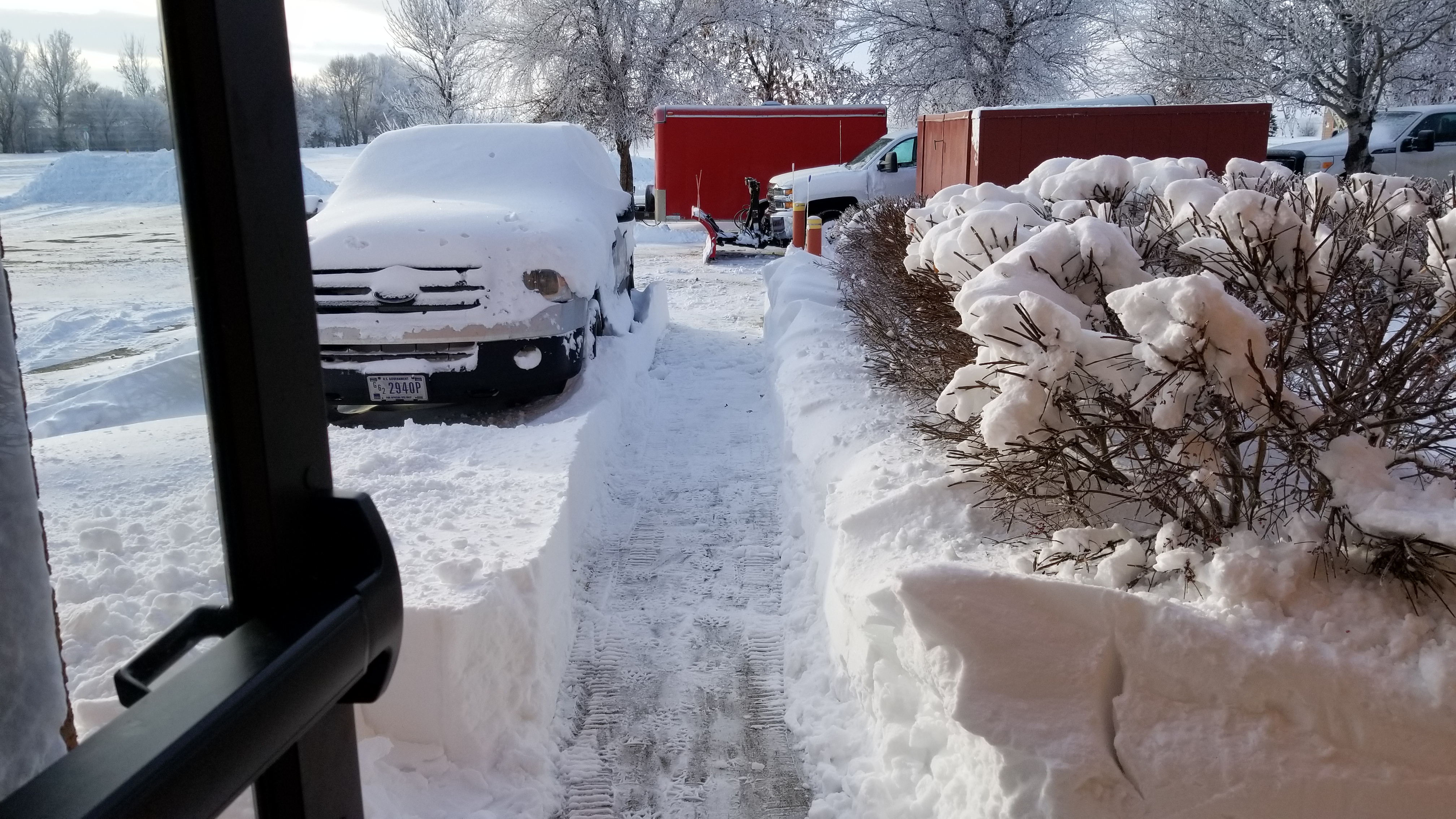
| A truck loaded with cattle in Buffalo County, courtesy of the South Dakota Highway Patrol | A truck loaded with cattle in Buffalo County, courtesy of the South Dakota Highway Patrol | After the storm at the NWS office in Aberdeen |
Radar/Satellite
 |
 |
 |
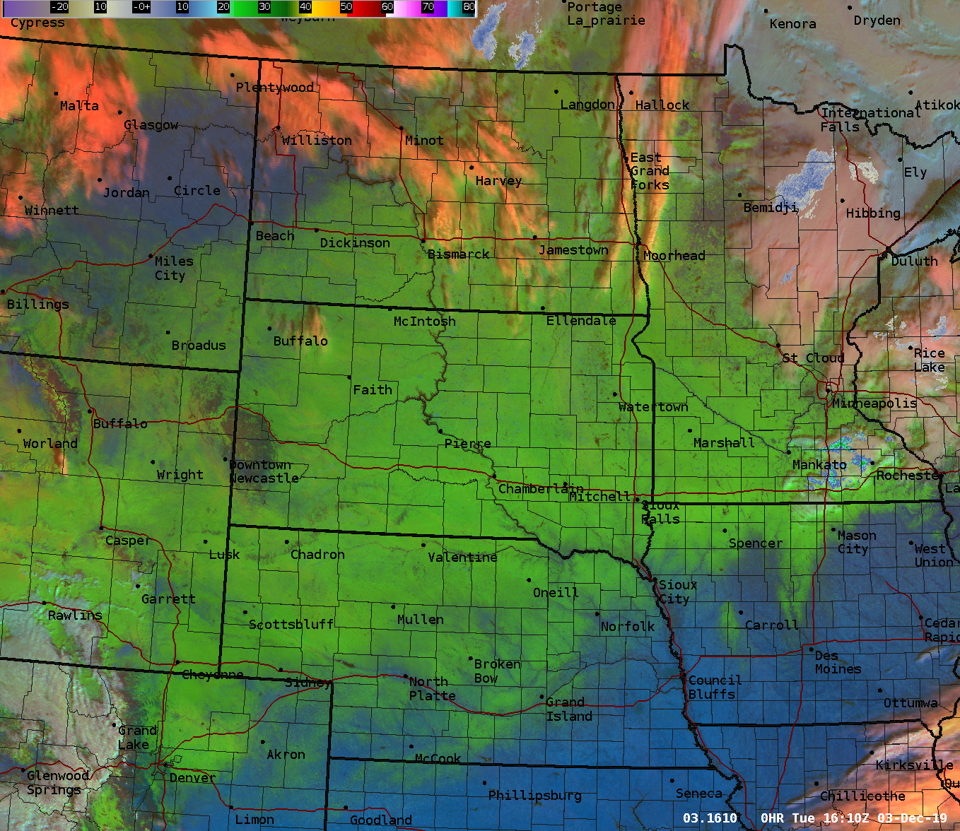 |
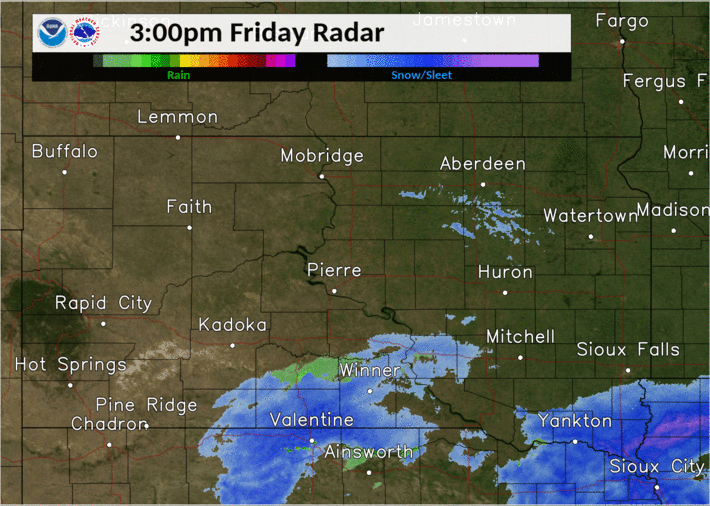
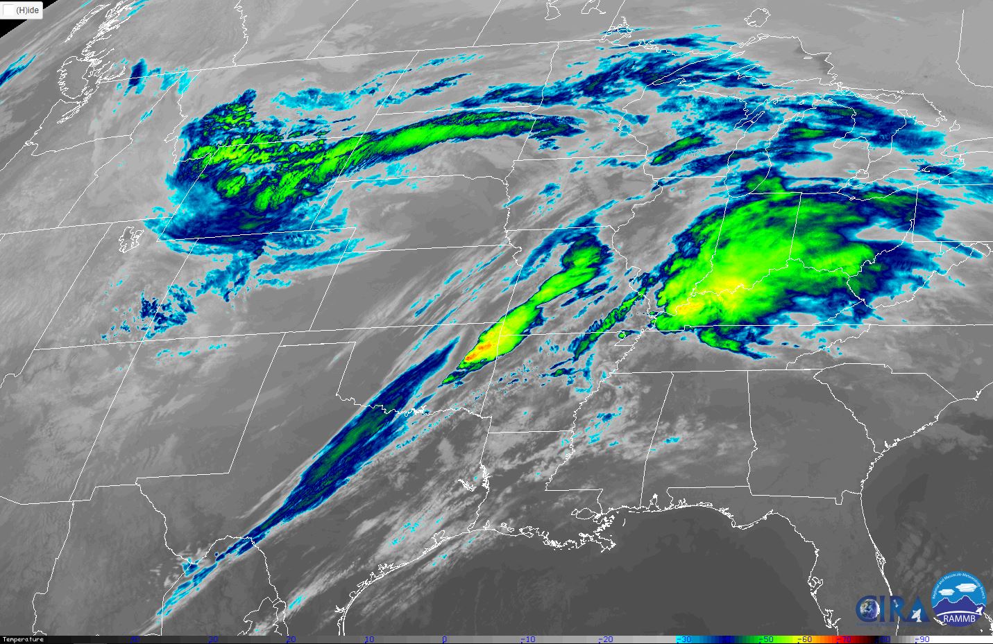
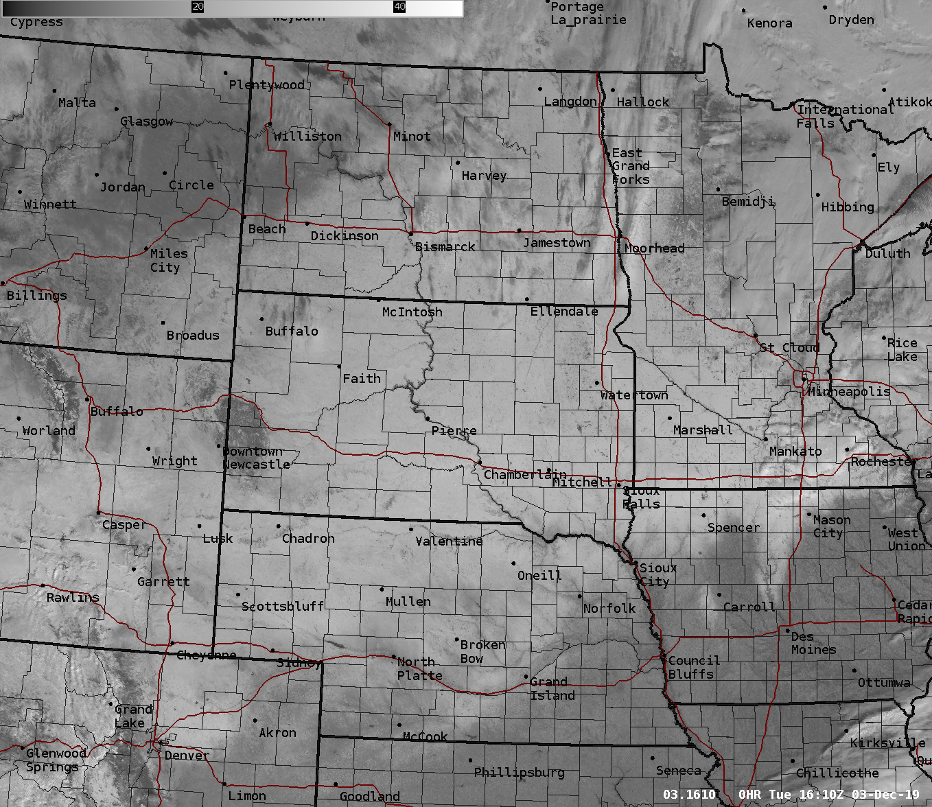
| Radar reflectivity from 3pm Friday, Nov 29th to 8am Sunday, Dec 1st | Infrared GOES-16 satellite imagery of the storm system, taken at 4 am on Saturday, Nov 30. From SLIDER by RAMMB/CIRA: https://bit.ly/34MZdZl | Visible GOES-16 satellite image of regional snow cover on the morning of Tuesday, Dec 3rd | Day Cloud Phase Distinction GOES-16 satellite image of regional snow cover on the morning of Tuesday, Dec 3rd (green is snow) |
 |
Media use of NWS Web News Stories is encouraged! Please acknowledge the NWS as the source of any news information accessed from this site. |
|

