
Record setting heat is expected over the next several days from the Intermountain West through the northern Plains. Furthermore, fire weather concerns increase with dry and breezy conditions. Meanwhile, heavy rainfall and severe thunderstorm threats for the Ohio/Tennessee Valleys, central Appalachians and Southeast today. The threat shifts to central Gulf Coast and across central Texas this week. Read More >
Aberdeen, SD
Weather Forecast Office
With hot and dry conditions expected this weekend, along with breezy conditions, we wanted to explain a bit more about the Grassland Fire Danger product. Fire danger is a concern this weekend, especially with all the activities with fireworks. We've also included a short video from Darren Clabo, State Fire Meteorologist for South Dakota.
https://www.youtube.com/watch?v=jY5j_z4awCA
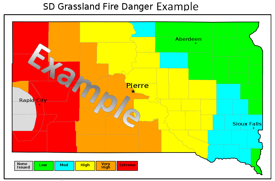
The current Grassland Fire Danger Index can be found here: https://www.weather.gov/unr/rfd
For a Fire Danger outlook beyond Day 2, visit the Graphical Hazardous Weather Outlook, then click on the "Grassland Fire Danger Index" and the appropriate days to view the current forecast.
https://www.weather.gov/crh/ghwo?sid=abr
US Dept of Commerce
National Oceanic and Atmospheric Administration
National Weather Service
Aberdeen, SD
824 391st Ave S.
Aberdeen, SD 57401-9311
605-225-0519
Comments? Questions? Please Contact Us.

