
A major winter storm is expected to bring heavy snow, strong winds, and coastal flooding across the Mid-Atlantic and Northeast that may cause impossible travel conditions and power outages. Blizzard conditions are possible along coastal areas from the DelMarVa Peninsula through southeastern New England. Wet weather and strong winds return to the Pacific Northwest and north-central California. Read More >
Overview
A winter storm system moved across the Northern Plains February 6th through 7th and produced both locally heavy snowfall and blizzard conditions. Travel was severely impacted.February 6th Banded Snow
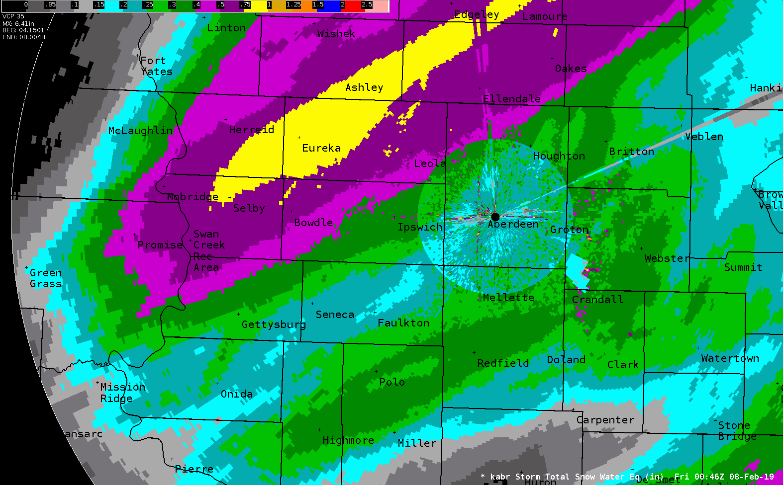
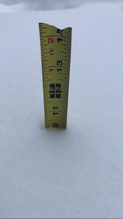
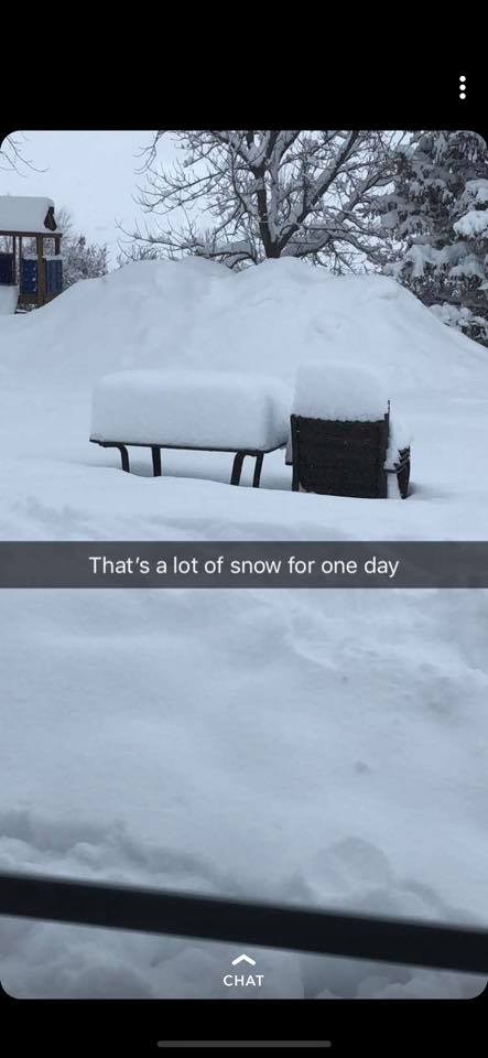
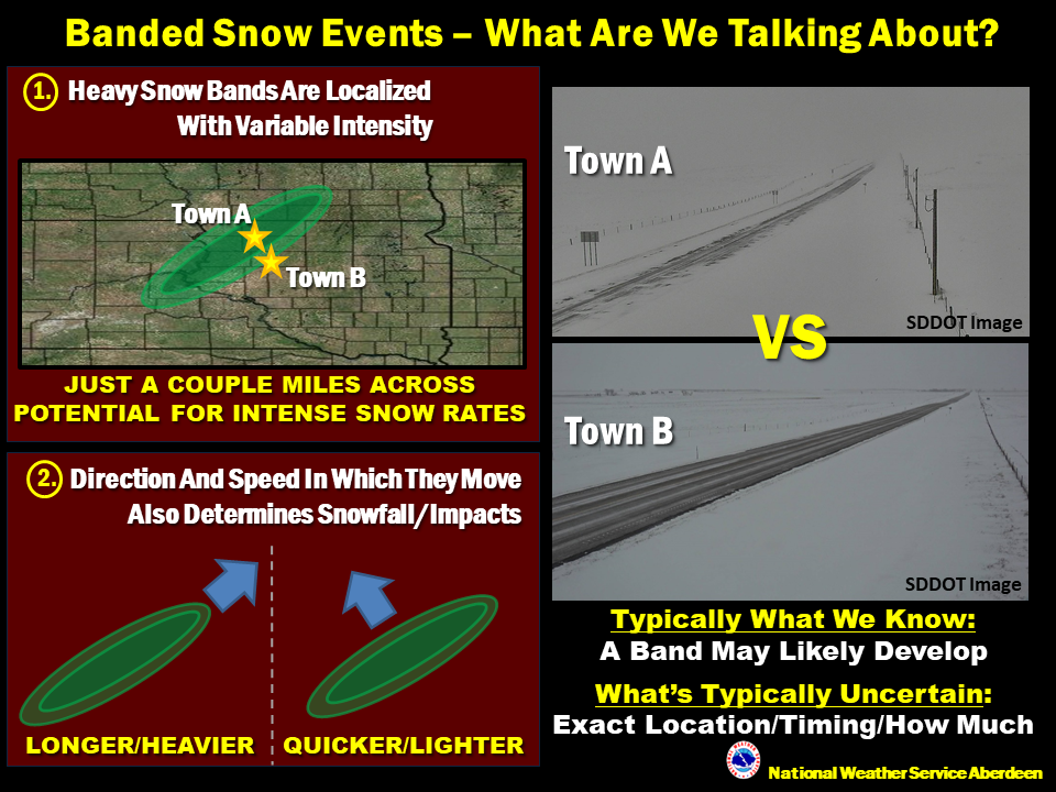
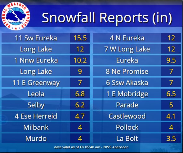
A very heavy, relatively local band of snow developed during the morning hours of Feb 6th from Dewey County northeast towards and through McPherson County. This was a classic type of event known as banded snow (more information here), in which some locations receive large amounts of snow while others only 30 miles away receive much less. A report of 15.5" from 11 miles west-southwest of Eureka was the largest of this event, and ranks among the highest 24 hour snowfall totals in McPherson County's recorded history. A couple spotters reported 6" in 2 hours' time which equates to incredible 3" per hour snowfall rates. Not only were the right atmospheric ingredients in place for such an accumulation, but very cold air helped to increase snow to liquid ratios making the snow very fluffy and maximized its ability to accumulate without compacting.
This image depicts radar-estimated snow water equivalent, and does a good job pinpointing where the heaviest snow fell.
February 7th Blizzard
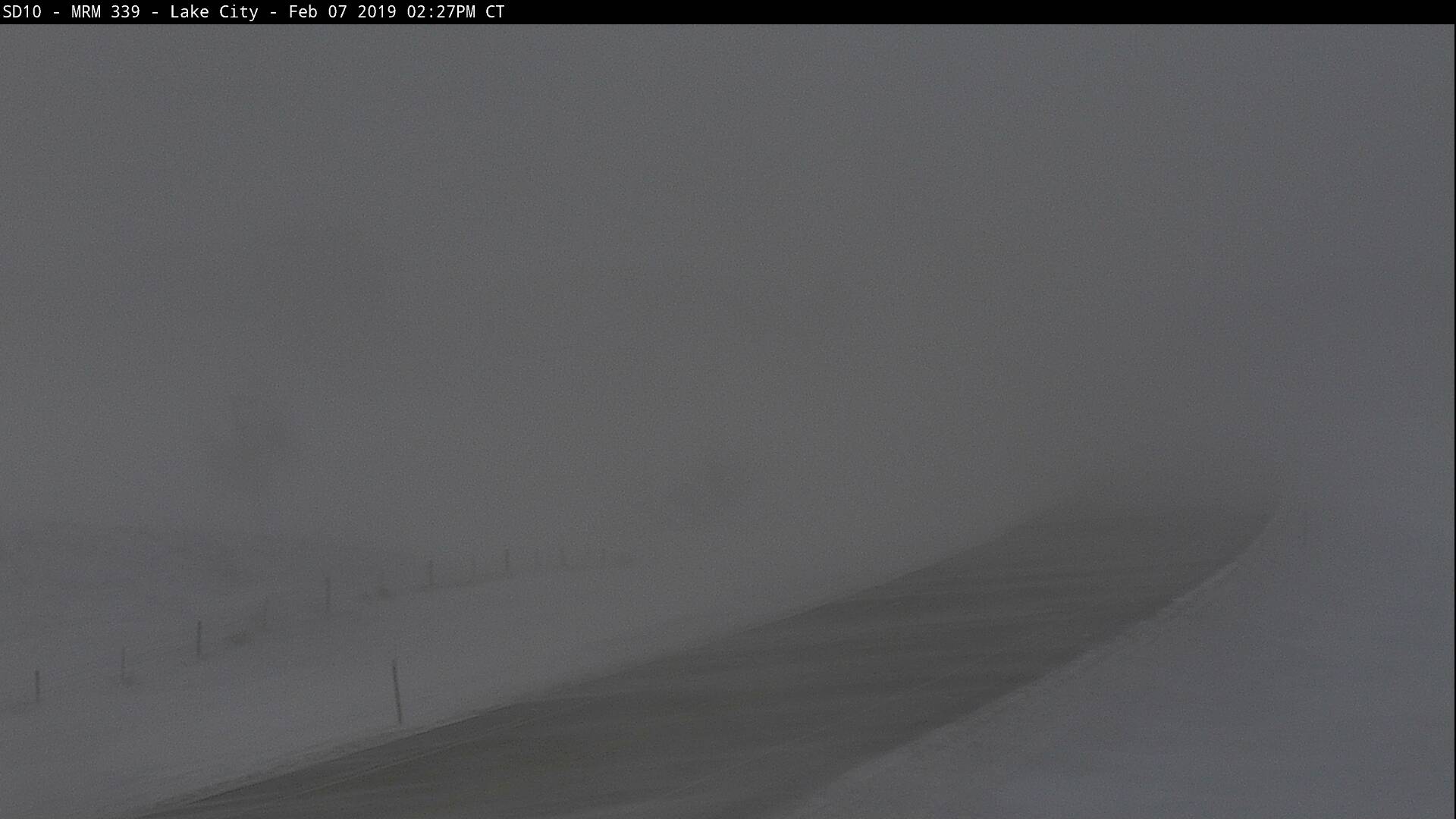
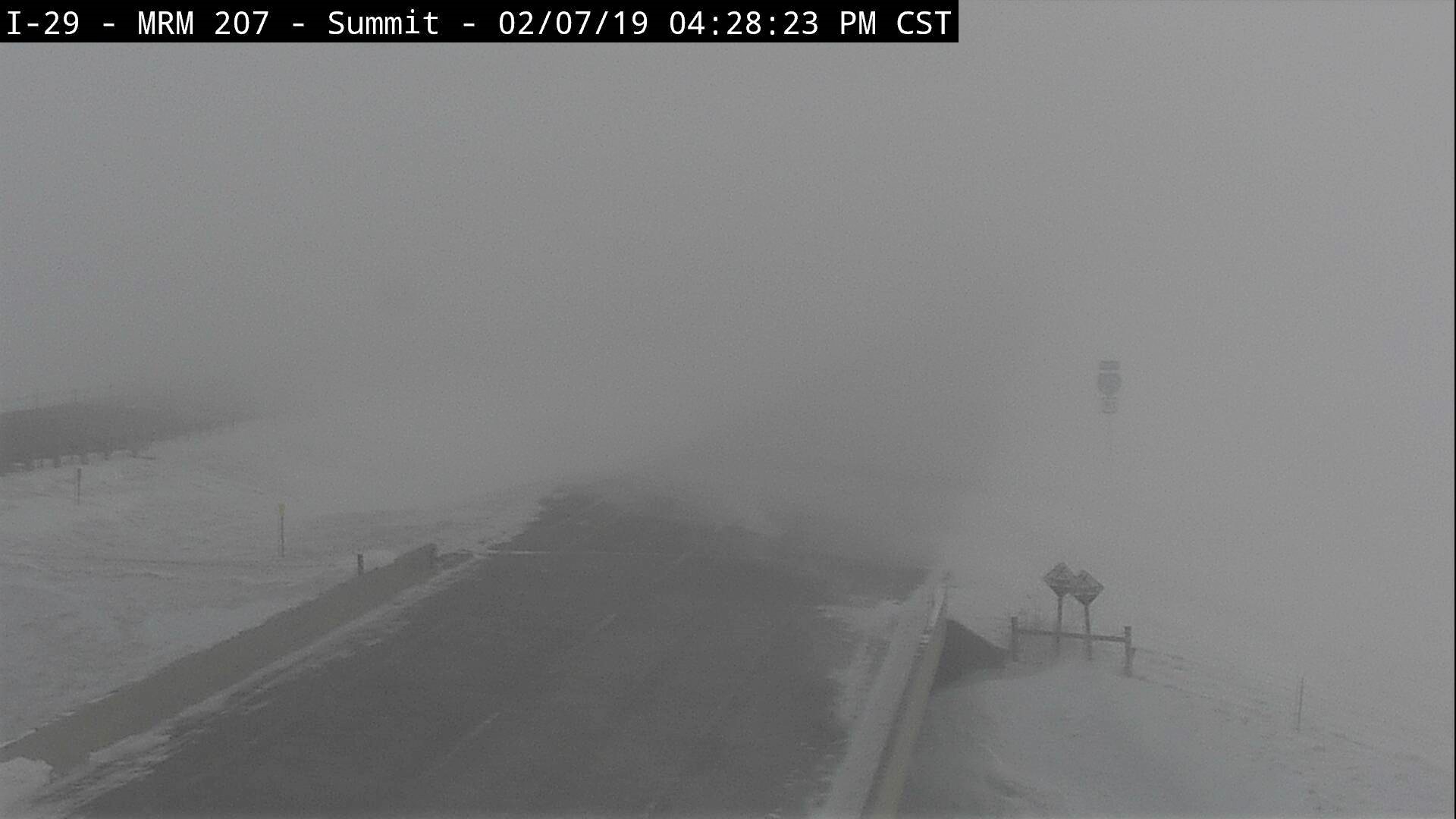
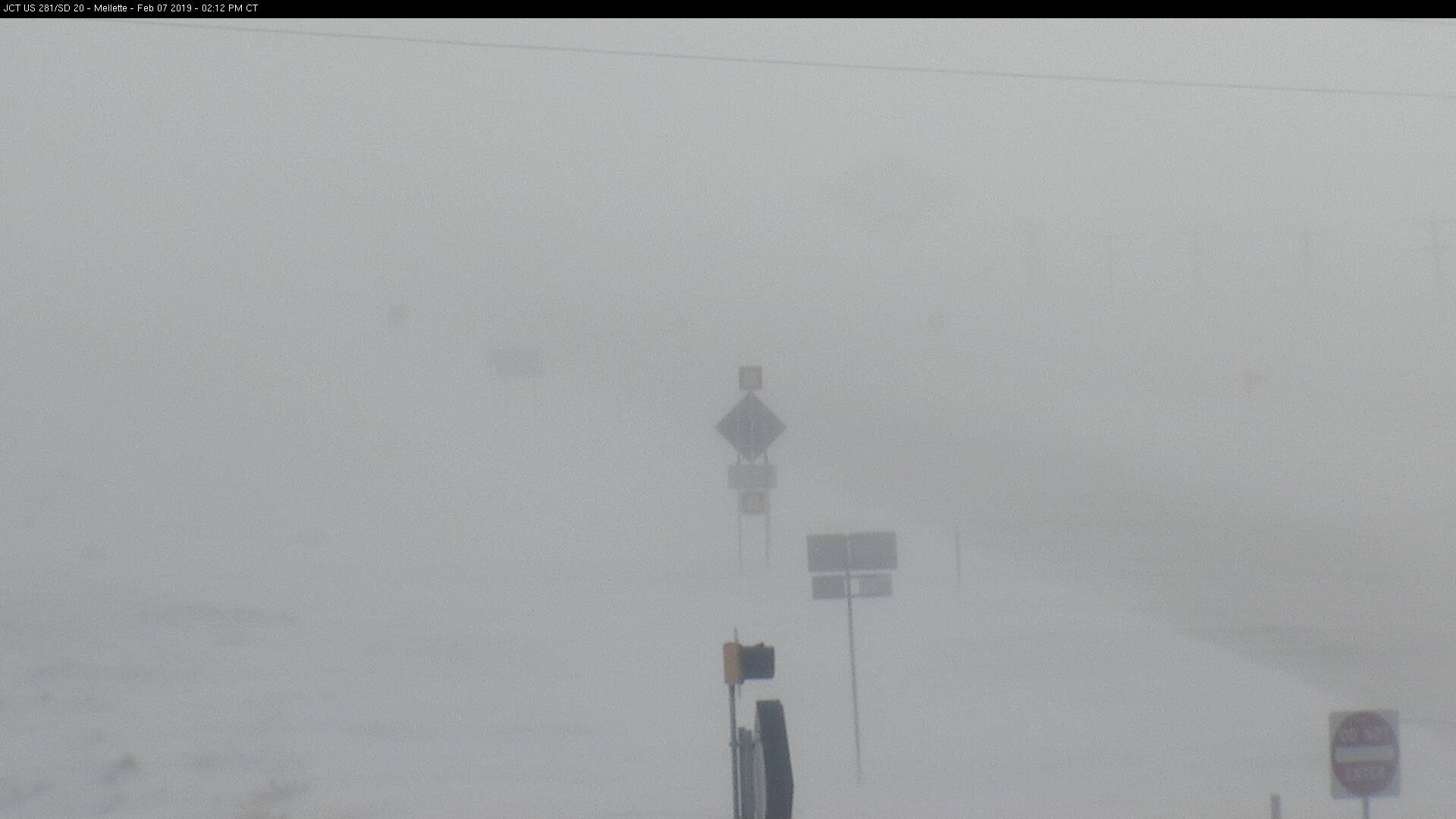
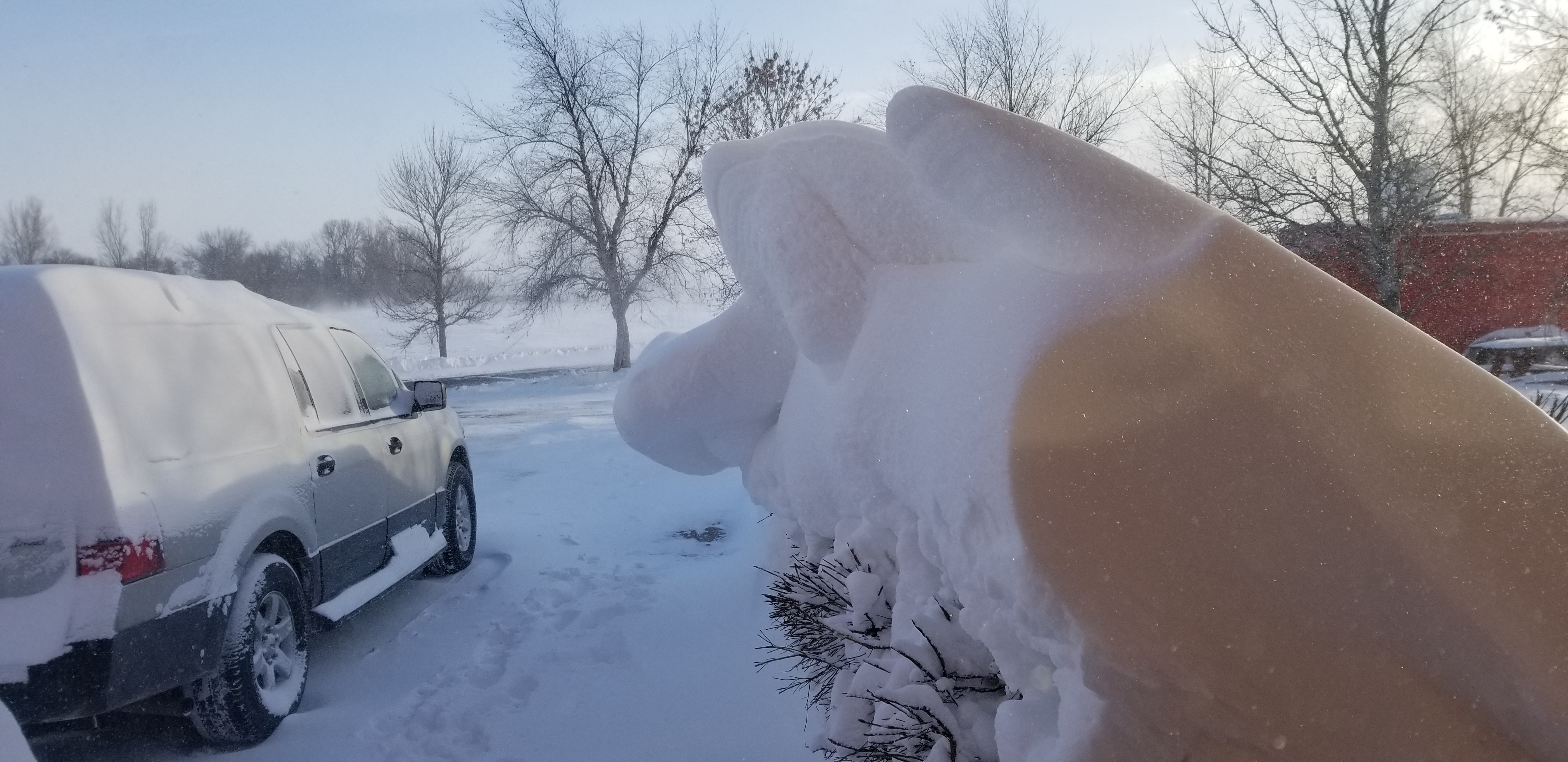
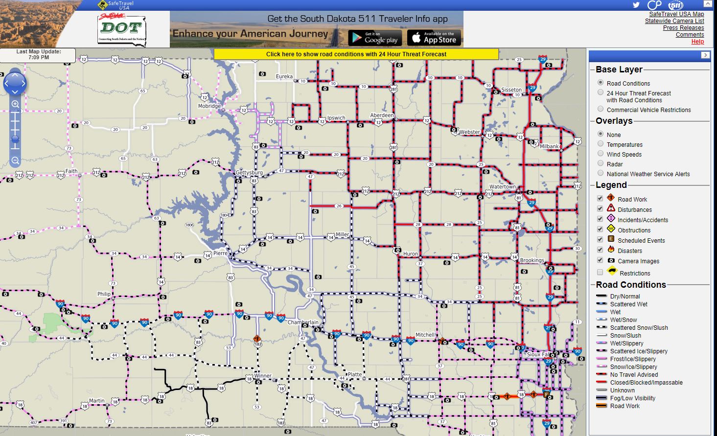
After the heavy banded snowfall event finished, an area of accumulating snowfall tracked across the state during the evening hours of Feb 6th. This set the stage for even more blowable snow, on top of an already impressive snow pack for many generally east of the Missouri River. Strong winds picked up during the morning of the 7th and continued to intensify through the afternoon (40-50 mph gusts) before subsiding early in the morning on the 8th. As a result, blizzard conditions effectively shut down travel across northeastern South Dakota and west central Minnesota. By 7 pm, I-29 had closed from Sioux Falls to the SD/ND border, and many other roads were marked "No Travel Advised." Very cold temperatures helped to create blizzard conditions by allowing the snow to more freely blow around.
This image depicts observer/radar estimated snowfall across the region from the 6th-7th (handles the banded snow event poorly), prior to the winds picking up to blizzard levels.

Photos & Video
 |
 |
 |
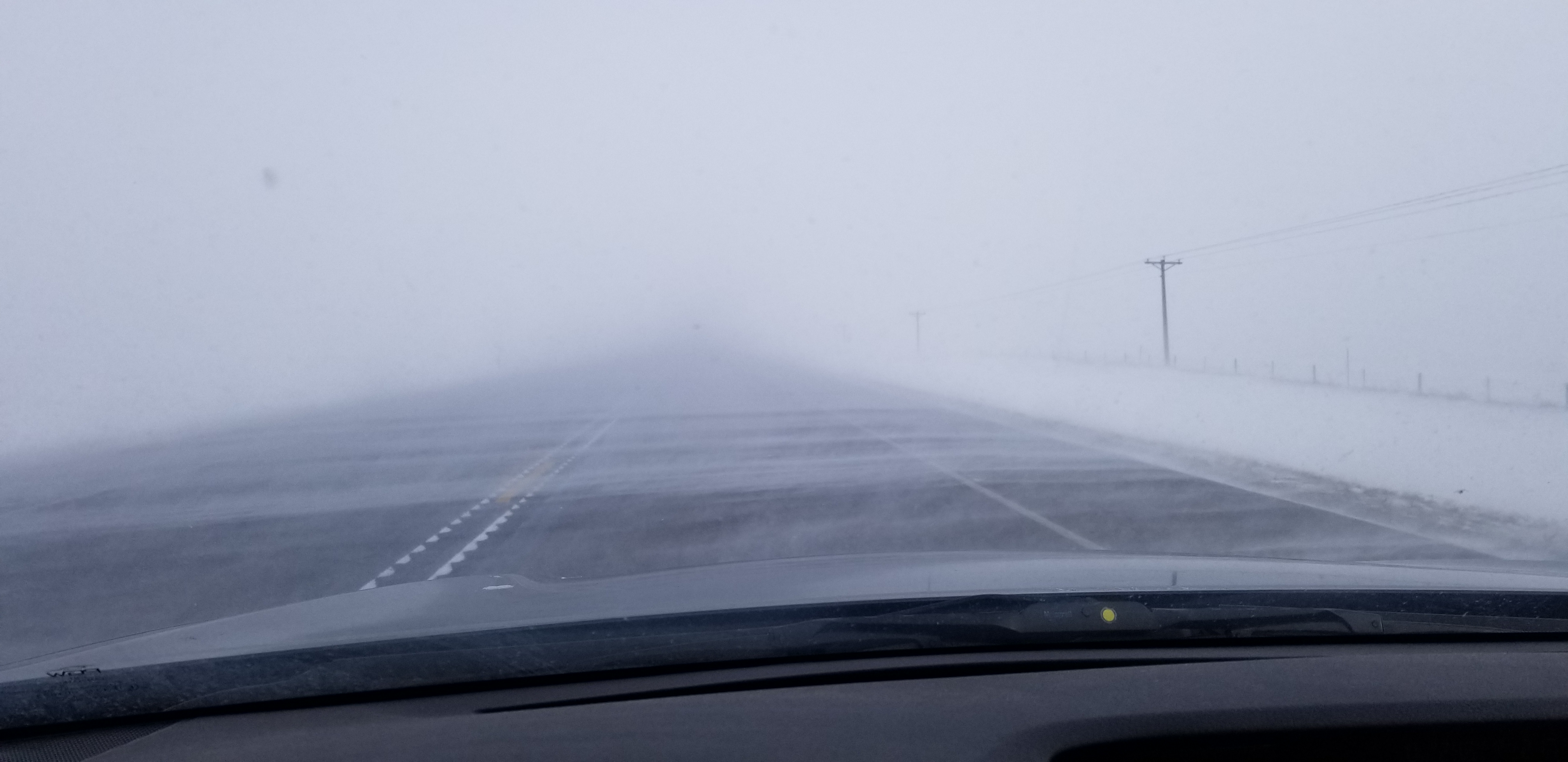 |
| Snowfall measurement Feb 6th at Eureka, courtesy of Keith Kramlich | Post-snowfall 17 miles NE of Eureka Feb 6th, courtesy of Ethan Helfenstein | Banded snowfall explanation | Less than a quarter-mile visibility in western Brown County on the afternoon of Feb 7th |
 |
 |
 |
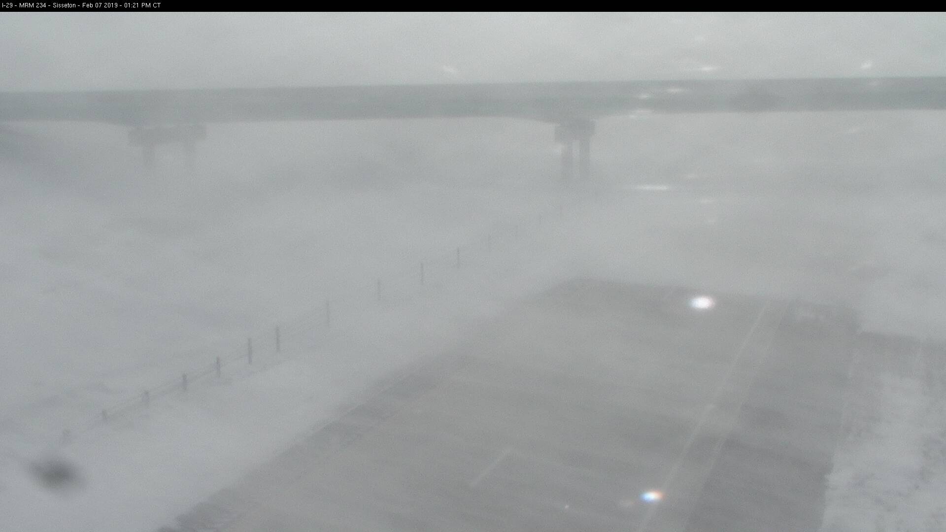 |
| SDDOT Cam from Lake City at 2:27 pm on the 7th | SDDOT Cam from Summit at 4:28 pm on the 7th | SDDOT Cam from Mellette at 2:12 pm on the 7th | SDDOT Cam from Sisseton at 1:21 pm on the 7th |
 |
 |
 |
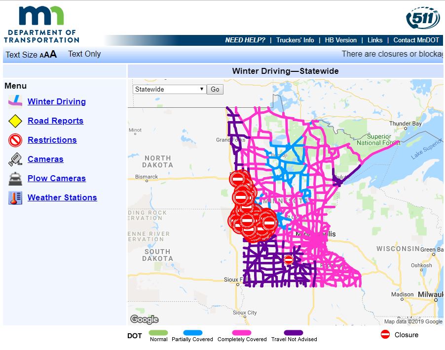 |
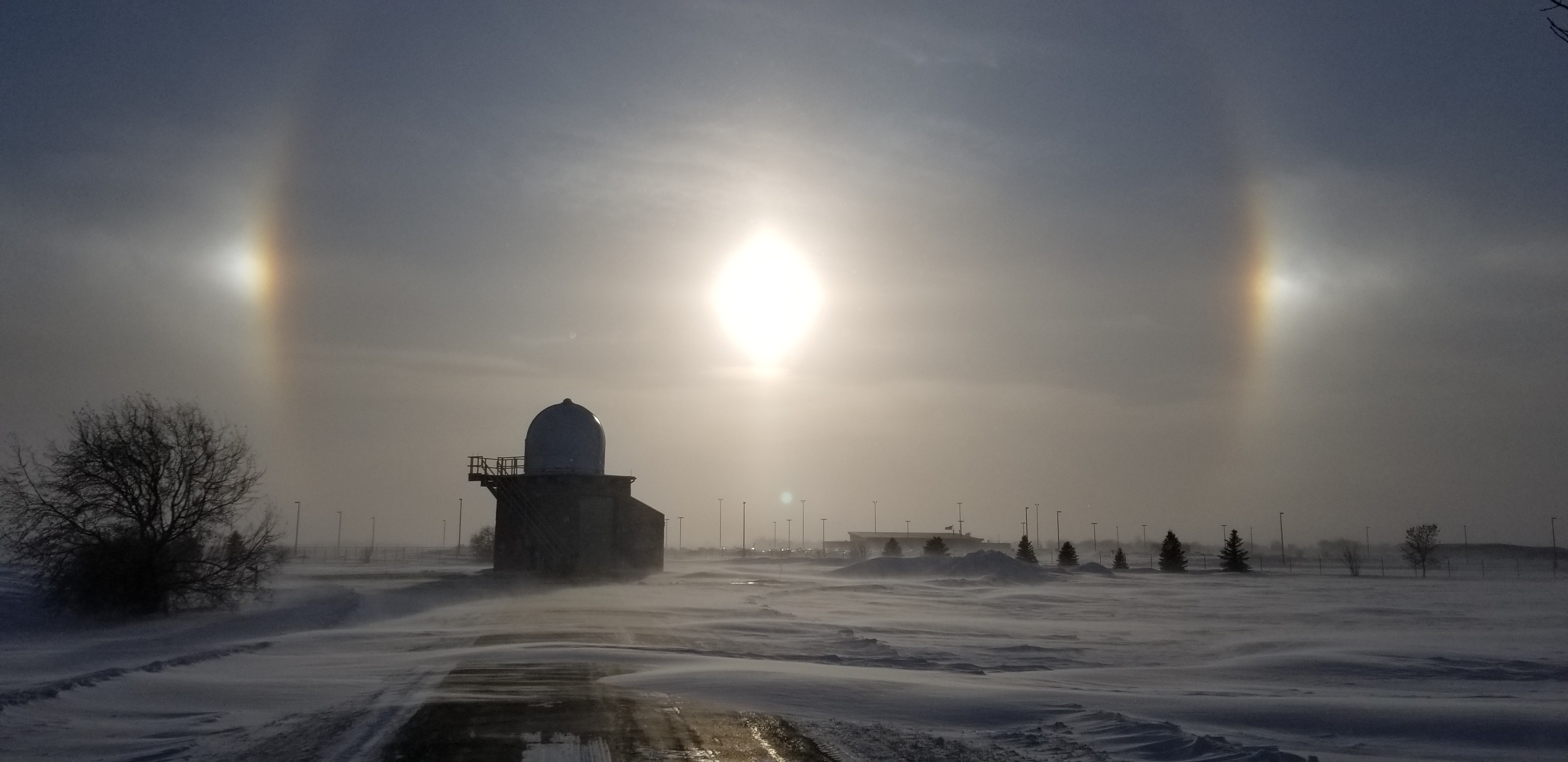
| Large snow drift outside the NWS Aberdeen office after the blizzard | Sun dogs at the NWS Aberdeen office after the blizzard | SDDOT Road Conditions at 7pm on the 7th | MNDOT Road Conditions at 7pm on the 7th |
Radar
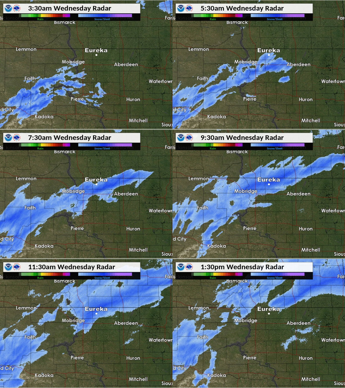 |
| Radar reflectivity of the Feb 6th banded snowfall event, from 3:30 am to 1:30 pm |
Storm Reports
Some of the highest measured snowfall totals from the 6th-7th
Some of the highest measured wind gusts from the 7th
 |
Media use of NWS Web News Stories is encouraged! Please acknowledge the NWS as the source of any news information accessed from this site. |
 |