
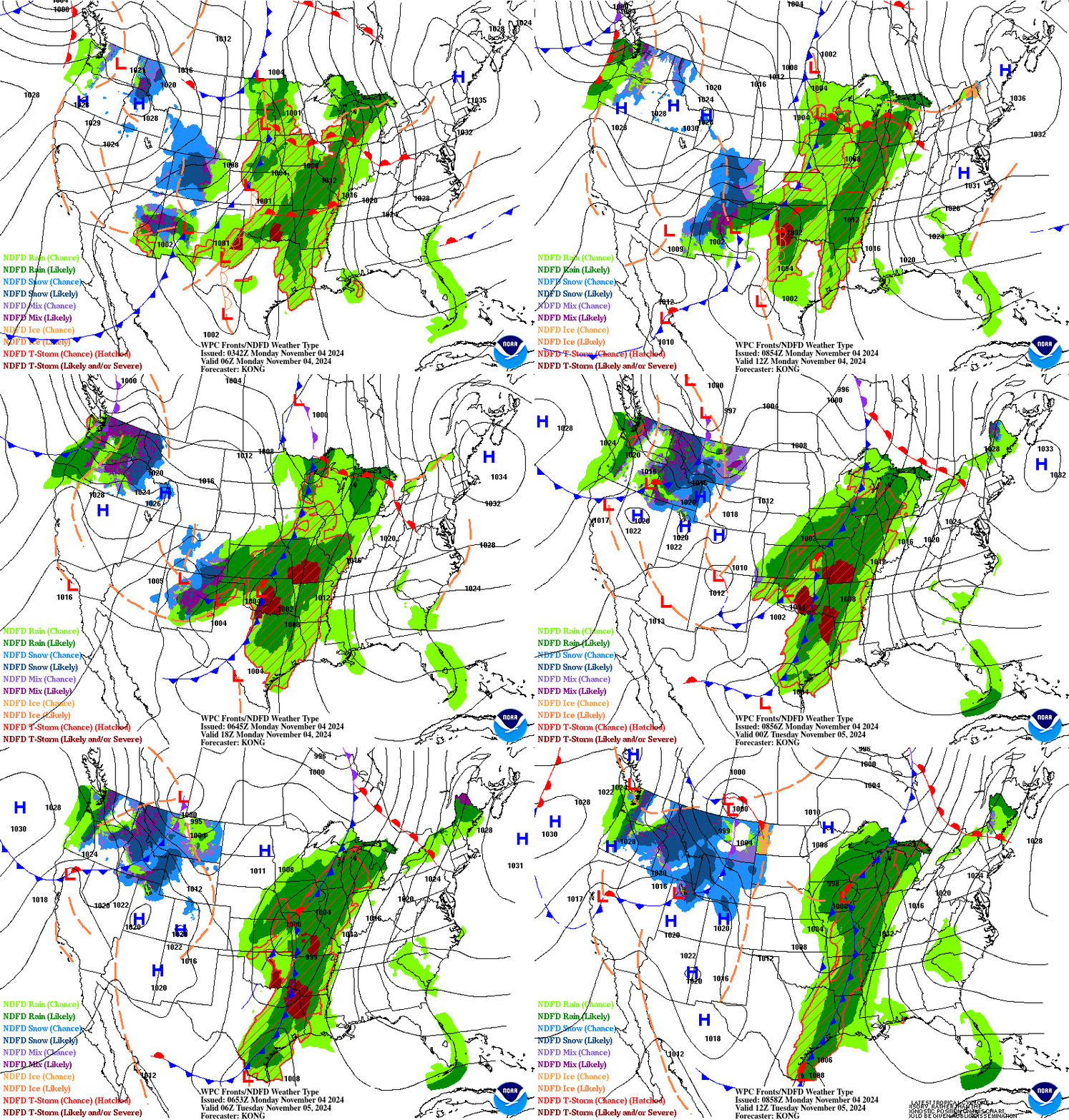
Remnant moisture from Tropical Storm Rachel will persist over portions of the Great Basin and Southwest on Monday, bringing a potential heavy to excessive rainfall risk. Well above average and potentially record breaking temperatures will develop across the Plains and Midwest early this week, spreading into the Lower Mississippi Valley and Southeast midweek. Read More >
Atlanta
Center Weather Service Unit
| Daily Weather Briefing | ||
|---|---|---|
| Prepared: by: | valid for 12 hours |
|
| |
Go to KATL TAF TDA Go to KCLT TAF TDA 
|
ATL Convective Gates 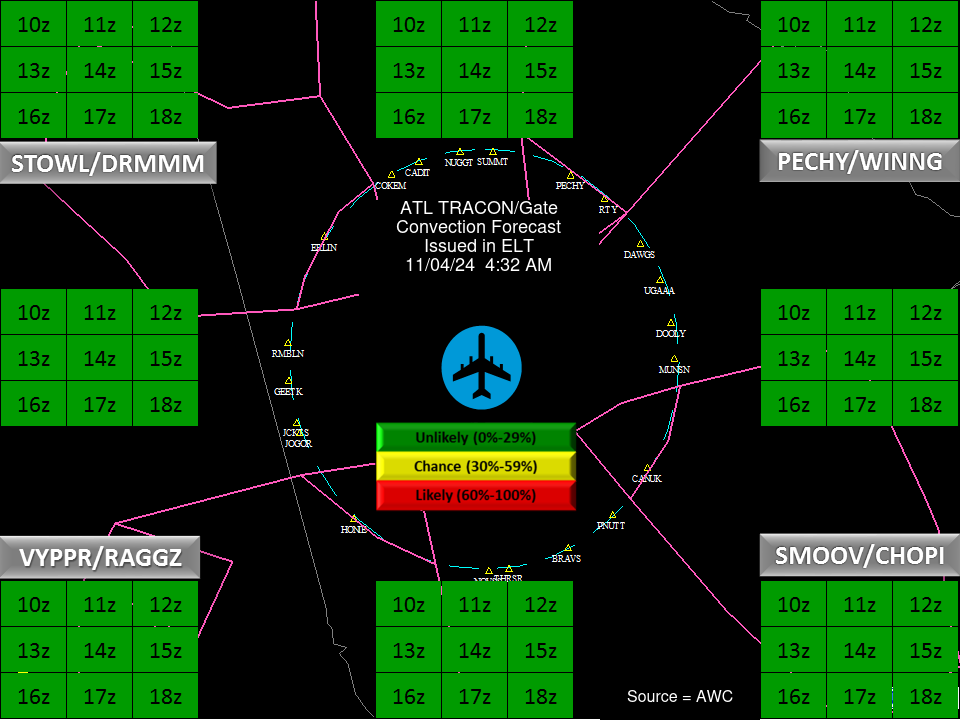
CLT Convective Gates 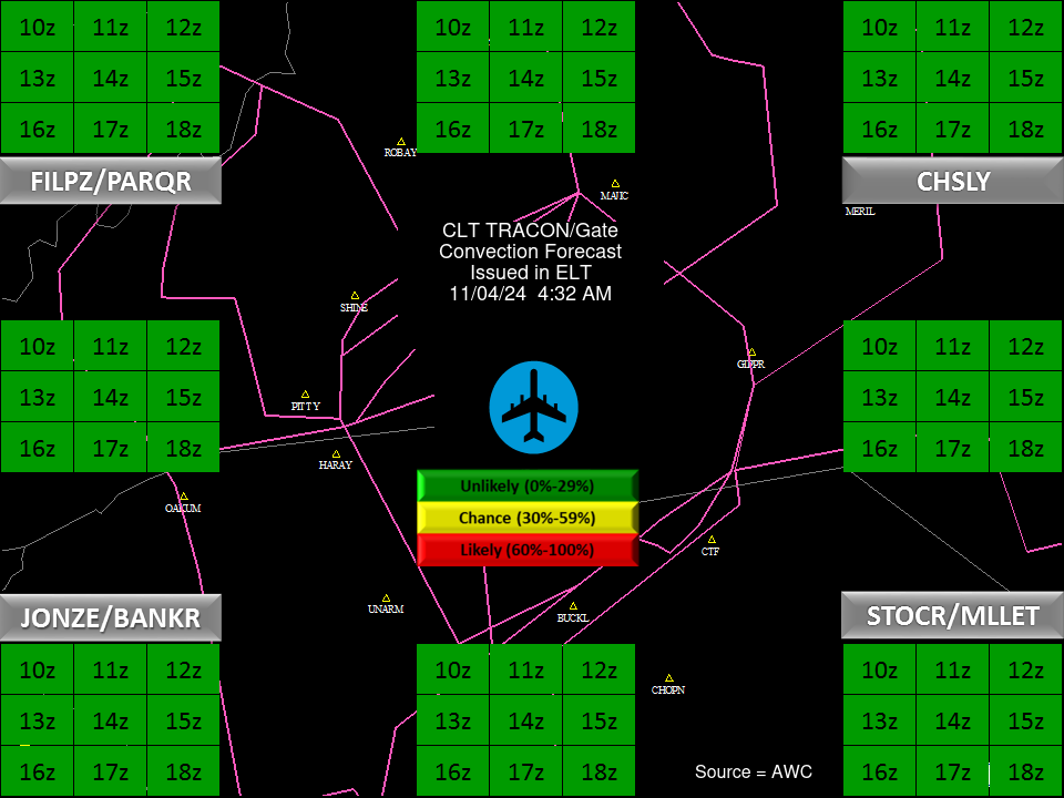 |
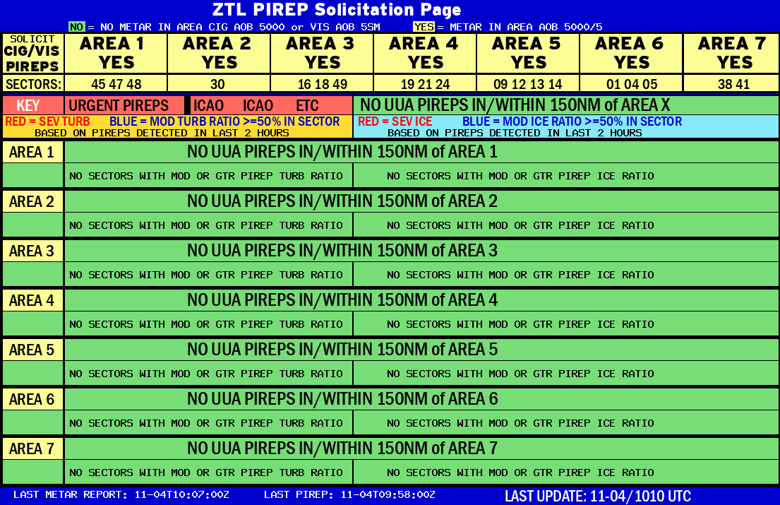
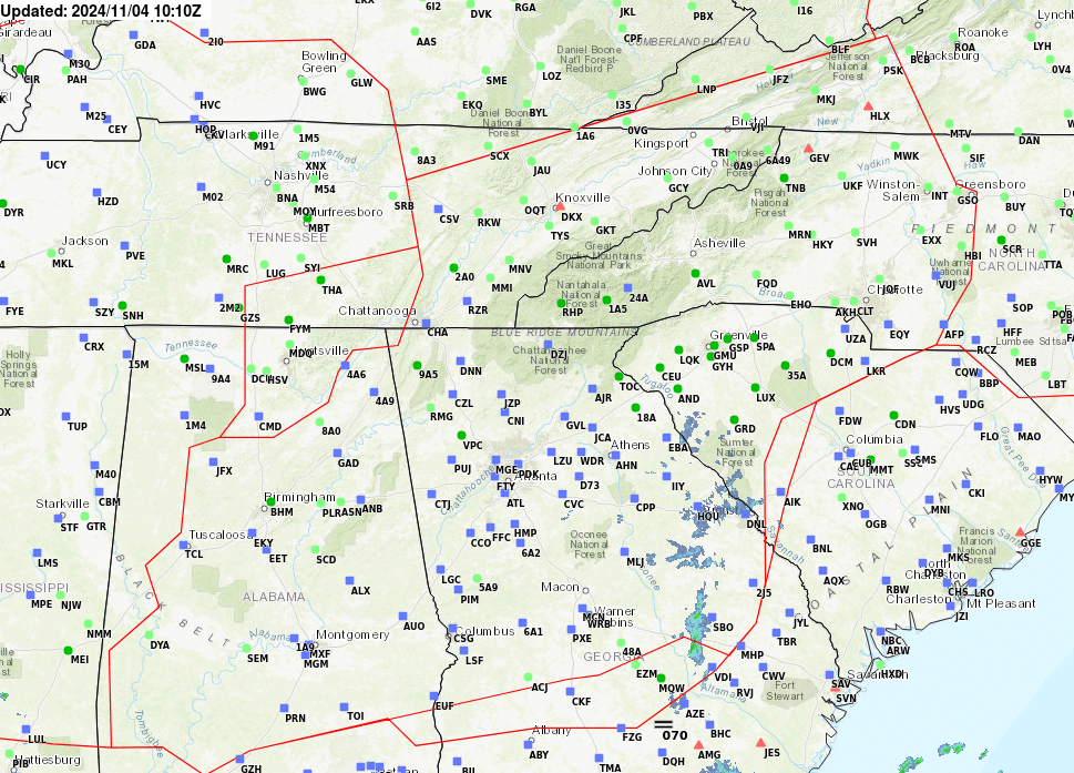
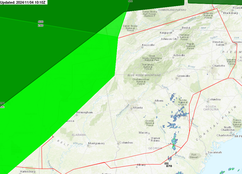
| Radar/PIREPs/Icing & Turbulence Airmets and Sigmets/CWAs | ||
|---|---|---|
 |
 |
 |
 |
|
 |
Weather Briefing from ZTL Atlanta on Vimeo or Download MP4 file PreDutyWeatherBriefing.mp4.

US Dept of Commerce
National Oceanic and Atmospheric Administration
National Weather Service
Atlanta
299 Woolsey Road
Hampton, GA 30228
770.210.7693
Comments? Questions? Please Contact Us.


