National Weather Service United States Department of Commerce

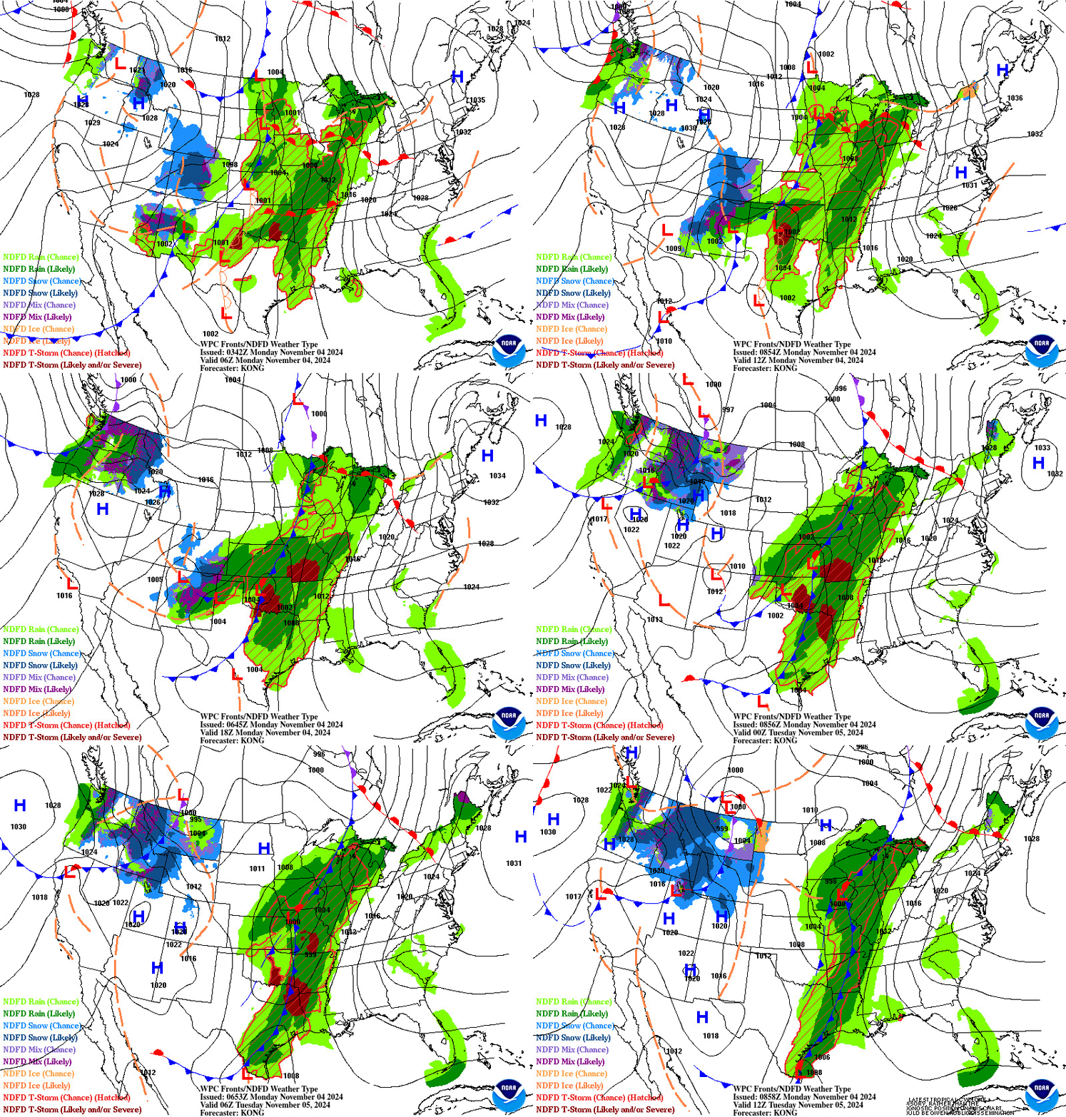
Storm Impacting the Northwest U.S.; Fire Weather Conditions in Southern California; Severe Weather in the South

A Pacific storm is bringing areas of low elevation rain, moderate to heavy mountain snow, and high winds to the Northwest. Strong Santa Ana winds and very dry conditions are producing elevated to critical fire weather conditions in southern California. Isolated strong to severe thunderstorms are possible through early Wednesday morning across parts of northeast Texas into western Tennessee. Read More >

                                       ZTL Airspace Summary / KCLT TAF                    For ATC Planning Purposes Only
ZTL Airspace Summary:


Updated:  

Charlotte/Douglas International Airport Terminal Aerodrome Forecast:


CLT METAR:  
 

Go to KCLT TAF TDA
Go to KCLT TAF TDA

 
CLT TRACON HAZARDS

CLT TRACON: SFC-16000


AVG CIG BASE WHERE REPORTED BLW 10000FT: NONE REPORTED
LOWEST REPORTED CIG: NONE REPORTED
LOWEST REPORTED FLIGHT CAT: VFR
METARS:
KAFP 140929Z AUTO 00000KT 10SM CLR 07/05 A3004 RMK AO2 T00670054
KAKH 140854Z AUTO 00000KT 10SM CLR 09/05 A3002 RMK AO2 SLP162 T00940050 55004
KCLT 140852Z 23006KT 10SM FEW250 13/04 A3002 RMK AO2 SLP177 T01280044 55003
KDCM 140935Z AUTO 00000KT 10SM CLR 08/06 A3006 RMK AO2
KEHO 140930Z AUTO 21004KT 10SM CLR 11/04 A3000 RMK AO2 T01120042
KEQY 140853Z AUTO 25010KT 10SM CLR 12/05 A3002 RMK AO2 SLP172 T01170050 55006
KIPJ 140925Z AUTO 00000KT 10SM CLR 07/05 A2999 RMK AO2 T00700050
KJQF 140925Z AUTO 19004KT 10SM CLR 12/05 A3002 RMK AO2
KLKR 140935Z AUTO 00000KT 10SM SCT055 10/06 A3005 RMK AO2
KRUQ 140925Z AUTO 22004KT 10SM CLR 11/04 A2998 RMK AO2 T01110040
KUZA 140854Z AUTO 21003KT 10SM CLR 10/06 A3003 RMK AO2 SLP165 T01000056 55005
KVUJ 140925Z AUTO 22005KT 10SM CLR 09/05 A3004 RMK AO2 T00850050

CLT TRACON HAZARD

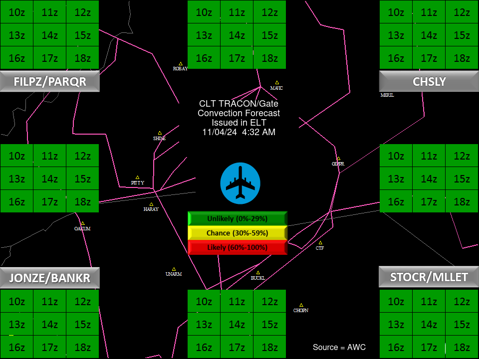
CLT Convection Gates
Forecast Surface Map Loop / Collaborative Convective Forecast Product / Vertical Wind Profile
Weather Map


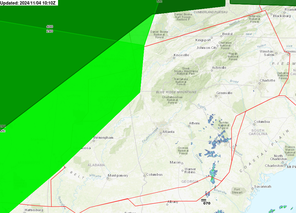
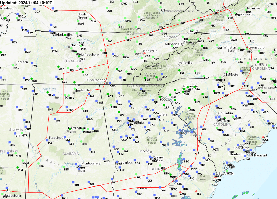
AIRMETs & SIGMETS/ Southeast Radar loop / Satellite Image (click on image to enlarge)
Weather Map Southeast Radar Loop

satellite