
Active spring pattern across the center of our nation with several episodes of severe weather and heavy rainfall expected into next week. The potential for very large hail, long track tornadoes, severe wind gusts, frequent cloud to ground lightning strikes and flash flooding are in the outlook. Furthermore, dangerous early season heat wave continues for the Gulf Coast states into early next week. Read More >
Last Map Update: Mon, Jul 14, 2025 at 1:18:41 pm MST
|
Text Product Selector (Selected product opens in current window)
|
|


 Forecast Discussion
 Tucson Radar
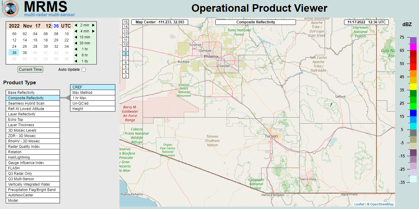 MRMS radar imagery
 GOES-18 Satellite
 Southern Arizona
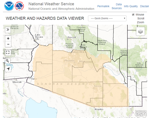 Detailed Hazards
 Weather Map
 Graphical Forecasts
 Forecast Weather Tables
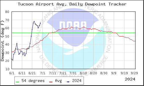 Monsoon
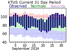 Recent Temperatures
 Fire Weather
 Tropical
 Hydrology
 Skywarn
 Drought Page
 Past Tucson Climate reports
 Hourly Forecasts