Scattered thunderstorms will develop over the high terrain of southern Gila County this afternoon resulting in locally heavy rainfall and potential flooding. An outflow boundary will descend towards lower elevations in the evening potentially triggering new storms. There is a 10-25% of storms during the evening in the Phoenix Metro. The main concerns from storms will be gusty winds, local blowing dust, and heavy rain.


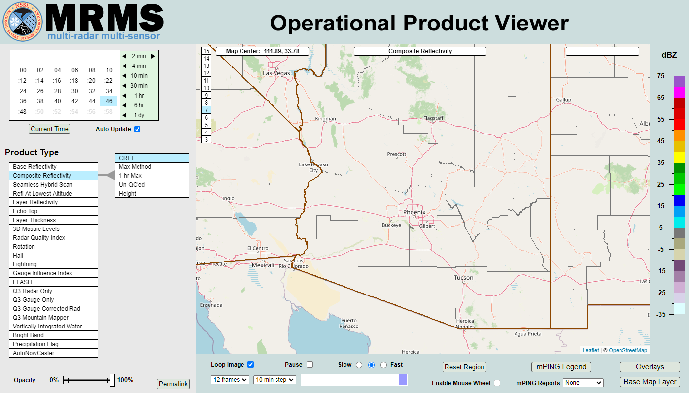 MRMS Radar Imagery
 Phoenix Radar
 Yuma Radar
 Regional Satellite
 GOES-19 Satellite
.PNG) Weather & Hazards Data Viewer
Weather & Hazards Data Viewer Forecast Discussion
 Fast Page
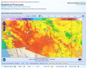 Local Graphical Forecast
 Drought Monitor
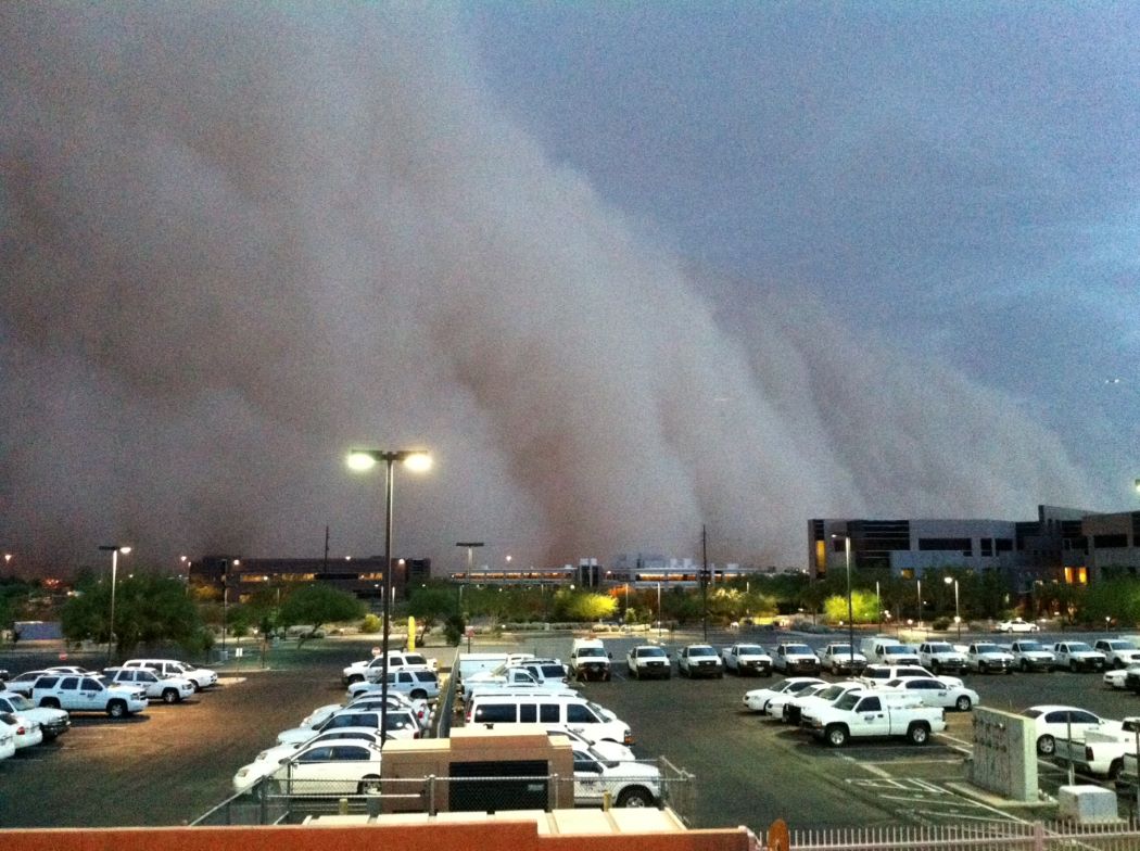 Monsoon Tracker
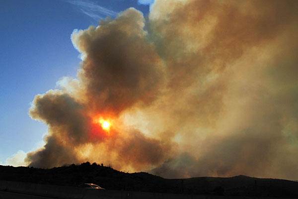 Fire Weather
 Heat
Heat Experimental Graphical HWO
 SPC Outlooks
 Hurricane Outlook
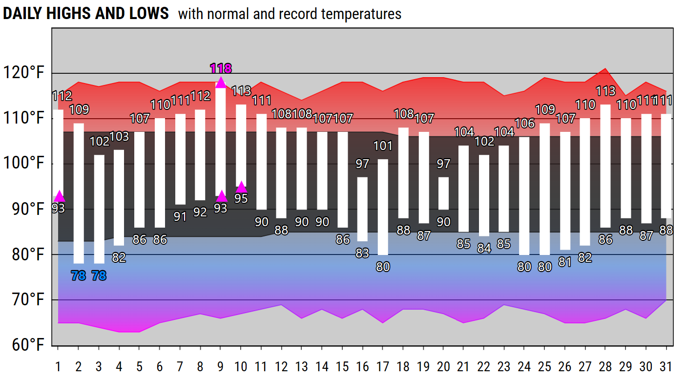 Local Climate Charts
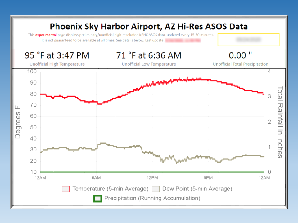 Hi-res KPHX ASOS Data