Snow and Sleet Fall Across the Tri-State Area
January 17, 2018
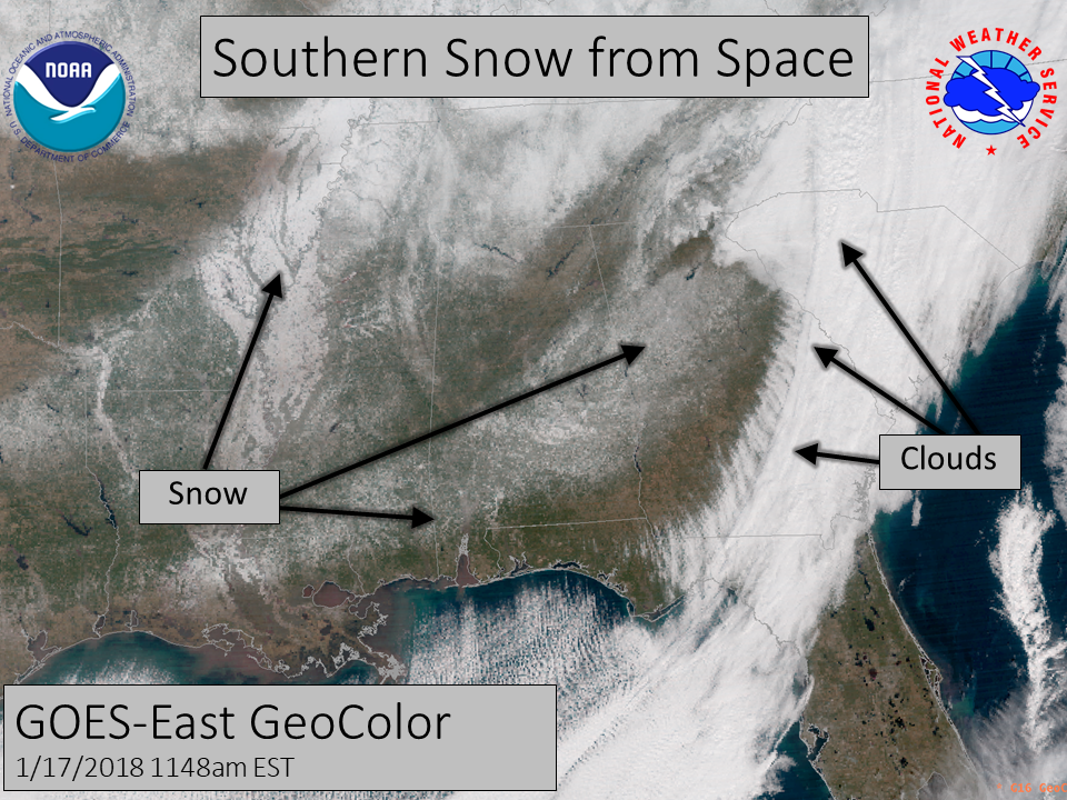
Snow and sleet fell across the tri-state area on Wednesday, January 17, 2018 with some areas in southeast Alabama receiving around an inch of snow and sleet. This was the second winter weather event for the tri-state area in two weeks! Unlike the previous event on January 3 where the snow/sleet/freezing rain impacted the Florida Big Bend and south central GA, the Wiregrass region of Southeast Alabama, Southwestern Georgia, and portions of the Florida Panhandle received the frozen precipitation during this event. Another key difference with this event that were the warm temperatures during the lead up to the event, which affected the breadth of storm impacts across affected areas. Bitter cold air was already in place several days in advance across the region leading up to the January 3rd event, yielding greater impacts on both road and elevated surfaces alike. Above average highs remained in place region-wide January 7-12, with highs near 70 degrees and overnight lows remaining above freezing. Highs in the 50s and 60s were common in the immediate days leading up to January 17th. This period of warm weather limited impacts to elevated surfaces, such as bridges and overpasses, across the western half of the area where the precipitation band and cold air were coupled. A warm nose above the surface across the Florida Big Bend and extreme southern Georgia prevented a changeover from rain to wintry precipitation, before dry air eroded the precipitation band away over the Suwanee Valley. Bitter cold set in across the entire region thereafter, subjecting people to dangerous wind chills and a hard freeze on the night of the 17th. Cold overnight lows persisted on the 18th before a quick warmup trend commenced for the end of the week and into the weekend.
 |
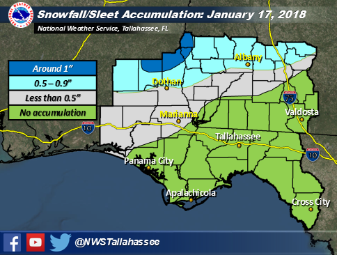 |
| Satellite imagery depicting snow on the ground across the southeast | Snow and sleet accumulations from January 17, 2018 |
 |
 |
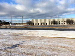 |
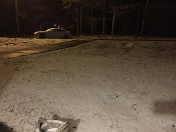
| Snow in Ozark, AL Courtesy of Carrie Palas |
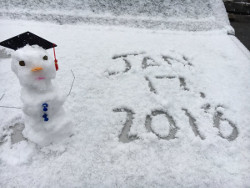
Snowman Courtesy of Kerri Copello (WFXL) |
Snow in Abbeville, AL Courtesy of Lauren Linahan (WTVY) |
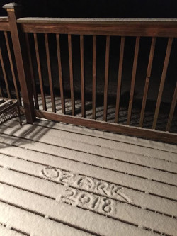 |
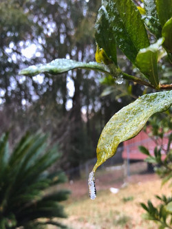 |
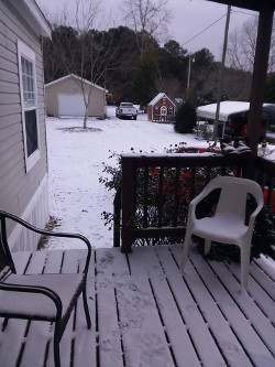 |
| Snow in Ozark, AL Courtesy of Carrie Palas |
Ice on a leaf in Crestview, FL Courtesy of Kelcie Lawrence |
Snow in Ariton, AL Courtesy of Samantha Jones |