
Tropical Depression Two is expected to gradually strengthen and could bring tropical storm conditions to the Florida Panhandle beginning late Monday. Areas of flash flooding will be possible through Thursday along the eastern and central Gulf Coast. Severe thunderstorms will develop and move along a cold front crossing the Upper Midwest Monday, and through the Ohio Valley/Mid-Atlantic on Tuesday. Read More >
Overview
An isolated supercell developed along a warm front and remained nearly stationary during the early evening hours on Thursday, June 20, 2024. The supercell impacted areas south of Highway 20 from Ainsworth to Long Pine. The supercell produced at least two brief tornadoes.Tornadoes:
|
Tornado - 10.3 Miles S of Ainsworth
Track Map 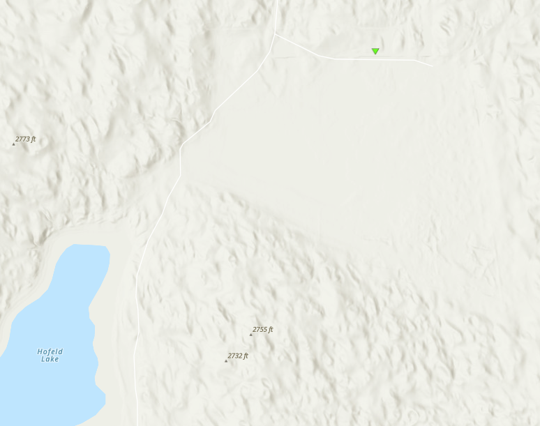 
|
||||||||||||||||
|
Tornado - 7 Miles South of Long Pine
Track Map .png)
|
||||||||||||||||
The Enhanced Fujita (EF) Scale classifies tornadoes into the following categories:
| EF0 Weak 65-85 mph |
EF1 Moderate 86-110 mph |
EF2 Significant 111-135 mph |
EF3 Severe 136-165 mph |
EF4 Extreme 166-200 mph |
EF5 Catastrophic 200+ mph |
 |
|||||
Photo
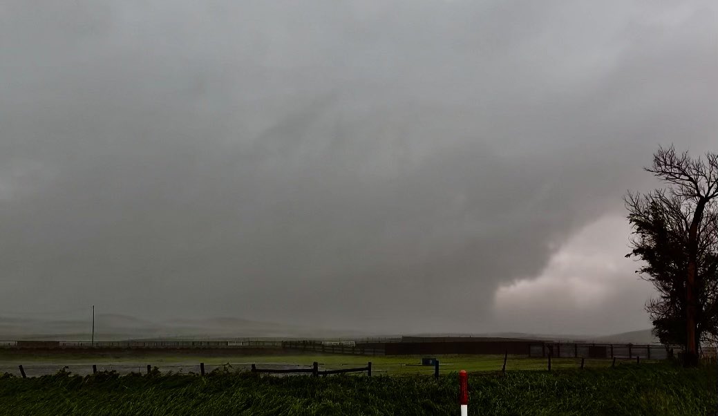 |
| Picture of rain wrapped tornado south of Ainsworth Photo Credit: Connor Croff |
 |
Media use of NWS Web News Stories is encouraged! Please acknowledge the NWS as the source of any news information accessed from this site. |
|

